

NorthShoreWx
-
Posts
5,517 -
Joined
-
Last visited
Content Type
Profiles
Blogs
Forums
American Weather
Media Demo
Store
Gallery
Everything posted by NorthShoreWx
-
bxengine's venmo is [email protected]
-
It was the other way around. The snow showers were with the arctic front on 2/16/73. They were more organized on LI where most spots picked up 2 or 3 inches.
-
Woo hoo, the January thaw is over!
-
Kocin and Ucellini are already working on the case study.
-
As of 1/29, 6.49" precipitation here for January. Add that to the 10.23" for December and its a 2-month total of 16.72". Kinda wet!
-
I took a group out for a hike in Calverton this afternoon and it was spitting tiny graupel most of the time. I even told them what graupel was.
-
I was thinking of some of the claims that it would take a long time to reload cold air into Canada.
-
Anchorage averaging 2.6°F below normal for both December and January and snowfall has been more than twice normal. They had a 16" snowfall this week, which is a biggy for Anchorage and current snow depth is 37". Plus they might come close to some record lows over the next week.
-
1/22/1987 11.3" (LGA) 1/26/1987 11" Bridgehampton 2/23/1987 10" Patchogue 1/8/1988 10.5" Patchogue (JFK - 9.6") 12/13/1988 10 - 15" (C-E LI) 11/23/1989 10" Bridgehampton 2/25/1990 13" Bridgehampton
-
The January 19-20 (17") snowstorm in 1978 was a surprise. The overnight forecast was for an inch or two of snow changing to rain and we woke up the next morning to a raging blizzard. The February 6 blizzard was talked about days in advance. I remember that I brought a portable radio to my indoor track meet on Saturday (2 days before the storm) so that I could get forecast updates during the day. Like most here, I've been at this since I was a kid.
-
The forecast 24 hours before the blizzard of '78 was for a foot or more. It was an LFM success
-
Been flurrying here for about 2 hours. Old man winter sticking his tongue out at us in a drive-by.
-
What does the "bg" stand for in "bg warming". Google was no help with this question.
-
Or FTL. But it does seem to have happened.
-
It happens. This was the high end forecast; more of a what-if map. I like to look at them because, even when wrong, they sometimes highlight mesoscale differences that might not be evident in the actual forecast. This was the case during our most recent snowfall about 9 days ago. You can get the same ideas by closely examining multiple meso models, but this is a little bit of a quick cheat.
-
NEAR TERM /THROUGH MONDAY/... Mid-level dry across the area has resulted in mainly drizzle and/or light rain for the afternoon hours, but every now and then a heavier pocket may mix with sleet and/or snow as verified by mPING reports. The upper low/trough will move across the area and precipitation should fill back in with a moistening vertical profile. Expect the snow growth region (-10 to -20C) to moisten and rain to transition to snow through the night with even a rain/snow mix getting down to the coast during the early morning hours. However, temperatures are forecast to generally be above freezing through the night with the possible exception of higher elevations across inland areas. Precipitation will generally be light, so any accumulations should be minor. Liquid equivalent overnight into Monday will be about a 0.25". Also interesting to note, as surface low pressure passes to the south and east, gusty NE winds will become more northerly through the night. For Long Island, this will be off the Long Island Sound. Multiple high res models are picking on a west to east enhancement in the precipitation across Long Island. This is due to a moist upslope component which has been noted in past events. It doesn`t take much elevation to help squeeze out a bit more. This may be enough to provide a coating of snow across this area.
-
If DC didn't have seasons like this, their averages would be even lower. We'll probably catch up, and if we don't, they're entitled. Was up on the Palisades this morning and the sun came out for a bit. Looked nice. You can easily make out Harbor Hill in Roslyn from there. Must be over 20 miles away.
-
Maybe not, but it is physically possible to get from where we are to there. Give the models at least that much credit. The pattern does support a lot more posts like this one from you. Which should be entertaining enough.
-
Lock it in.
-
I get the standards (and the importance of adhering to standards) for measuring air temperature, but it seems counterintuitive that direct sun on a temperature sensor is bad, but direct sun on the shield over that sensor is good. How about in a densely forested community where the only open ground is where the sensor is located? It might tell you something useful about the air mass without accurately reflecting the surrounding conditions. The same could be said about the current state of affairs in Central Park.
-
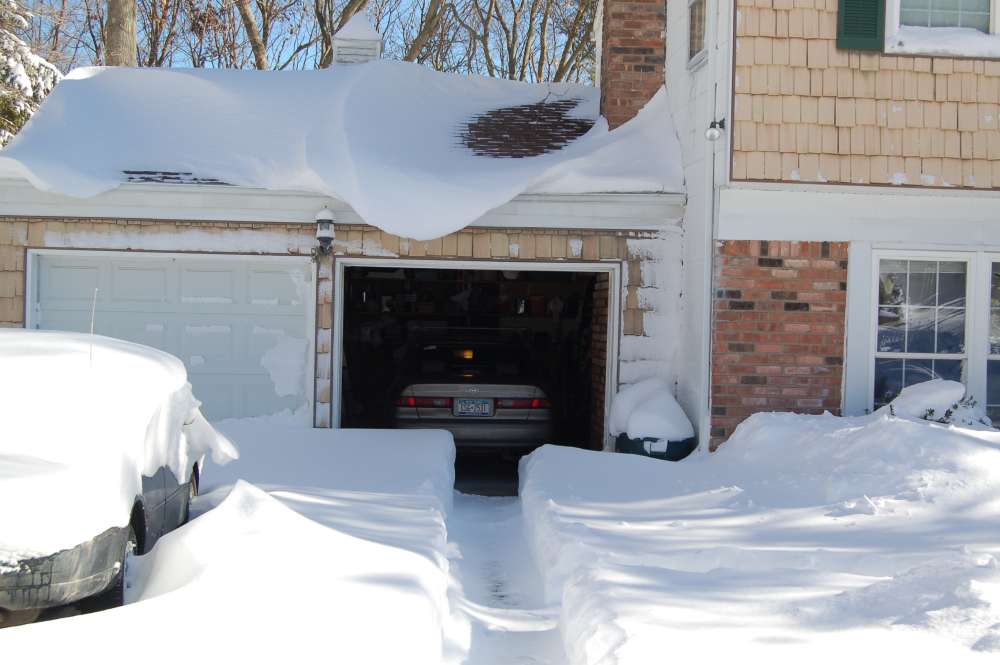
8 years ago today:
-
No.
-
I went for a hike in Sunken Meadow late this afternoon. The refreshing air and the fresh snowcover was terrific. I even managed to sneak up on these guys: https://www.instagram.com/reel/C2WZYxLMa5R/?utm_source=ig_web_copy_link&igsh=MzRlODBiNWFlZA==
-
-
Looked pretty heavy on the Sagaponack web cam a while back.


