cleetussnow
-
Posts
3,138 -
Joined
-
Last visited
Content Type
Profiles
Blogs
Forums
American Weather
Media Demo
Store
Gallery
Everything posted by cleetussnow
-
Blech
-
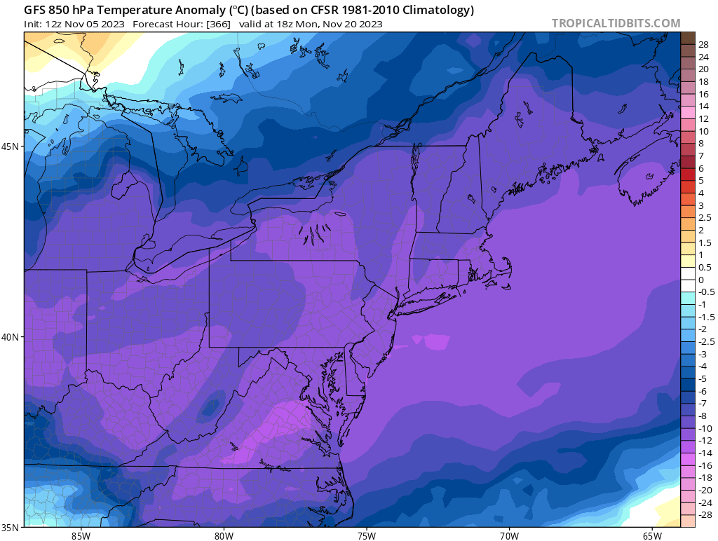
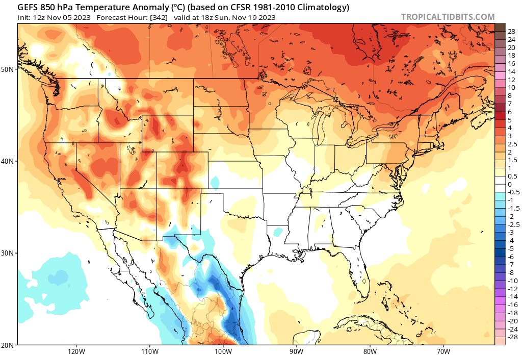
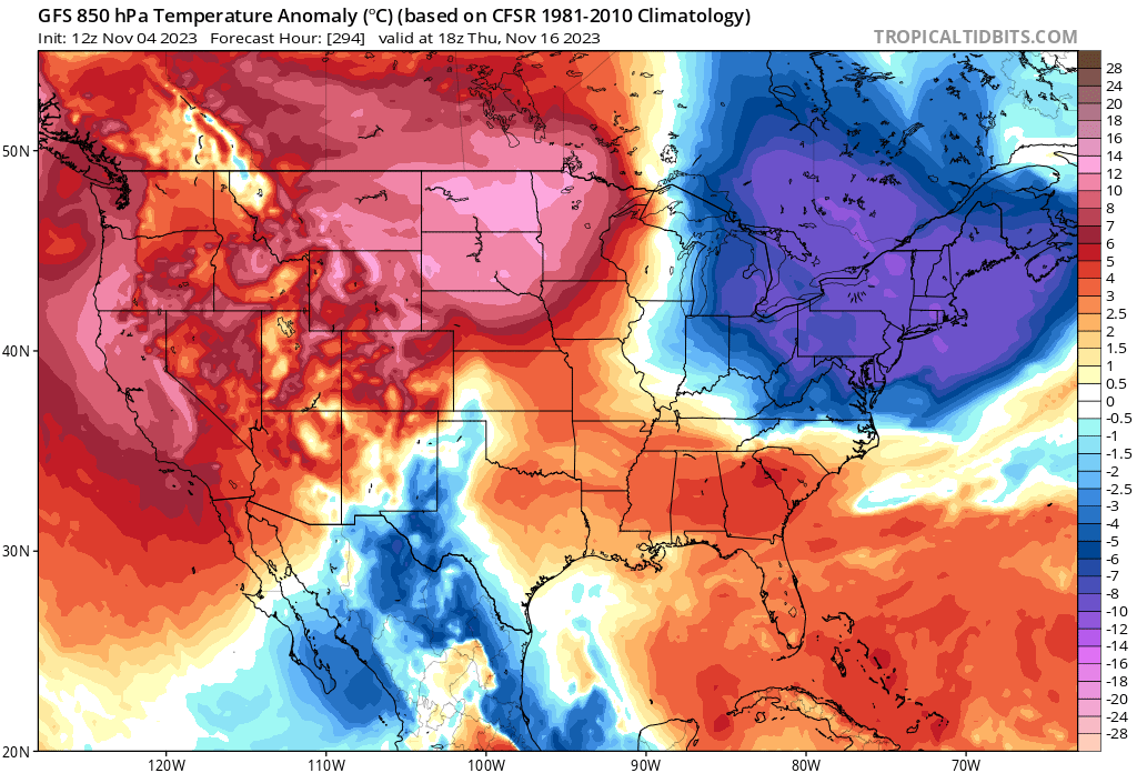
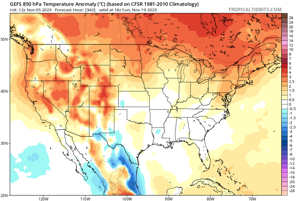
Punt type winter in the offing until I see something inside of 10. Right now it appears to be outside the 20.
-
Keep rolling and there are 2 more. No sign of winter on the op run. Tenor of the season I’m afraid.
-
CT river valley jacks.

-
This looks like shit:
-
We are already seeing can kicking. It seems like once that starts, it persists. We are already talking a month push back on any favorable pattern. Yeah, then it's Spring, or supposed to be, when the PV splits.
-
Totally. Its like rooting for a bad football team early in the season and thinking this is the year if….and then the season depends on a heap of ifs and buts and thats as good as ever gets.
-
Public schools strike again. Damn.
-
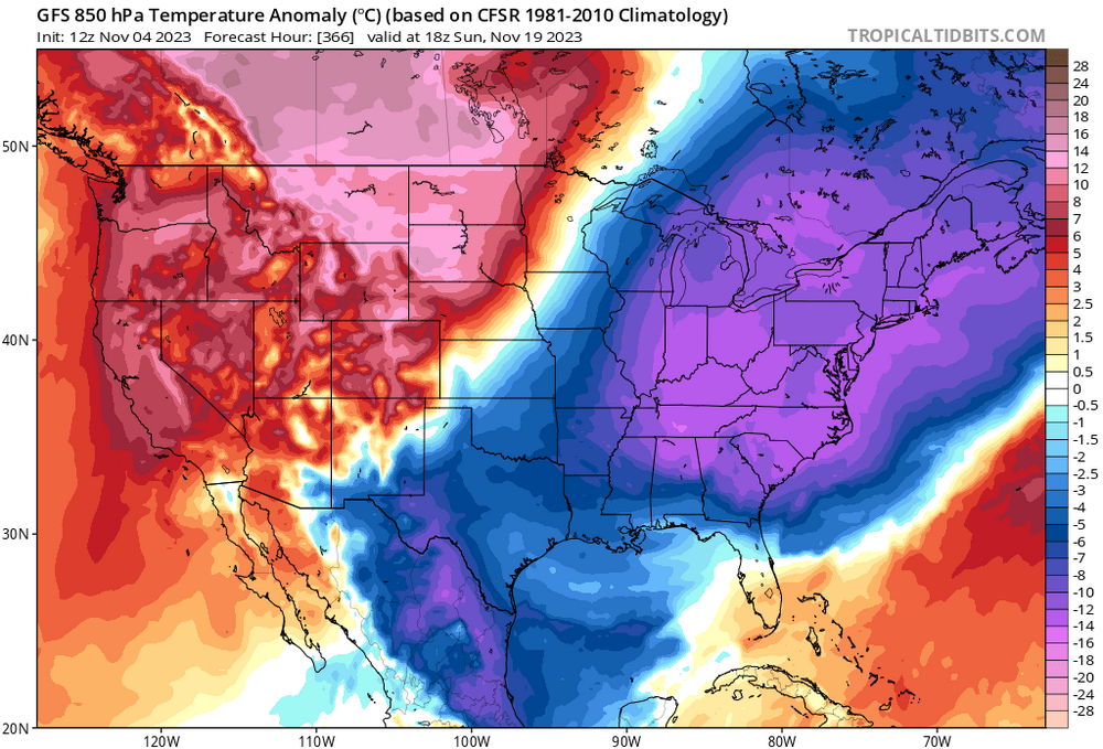
Right in the GFS’ wheelhouse…
-
So basically the 384 GFS verifies
-
Ugh. Army Navy game is in Foxboro. One of those times the fix is in.
-
Farted?
-
-
Lets just beat Navy and get the Commanders Cup! Can’t wait.
-
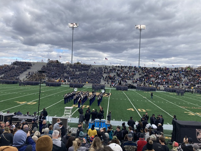
Spent veterans day with these dudes and dudettes. Got cold when the sun went down.
-
JHC.
-
Eh. I think he leans into CC every time we have a warm spell and lets face it, there a lot of warm spells to chirp over. Gets old. However when it comes to a winter storm he will call balls and strikes fairly. Good met, if a little cantankerous.
-
But you can still say you got hurt skiing. Unlike, say, breaking your arm while taking out the garbage.
-
Rossby wave - Wikipedia
-
Which doesn't match this: just throw darts i guess.

-
-

-
That is actually faster than the speed of sound at that altitude. Its more like 600 MPH up there.We’ve had non supersonic flights get from US to UK in 5 hrs riding a 200 MPH jet. It does happen.