

SnoSki14
-
Posts
16,208 -
Joined
-
Last visited
Content Type
Profiles
Blogs
Forums
American Weather
Media Demo
Store
Gallery
Everything posted by SnoSki14
-
Well that was a fun couple hours. Doesn't change the F- winter Just want us to torch and be done with it already after today
-
What makes this time different?
-
That's likely going to be reserved for the I-80 north crowd. Probably a mix south of there.
-
Very scenic outside with the snow. Can't believe it took til almost March for us to see more than a light dusting
-
I think we just tripled our entire season total in the last 15 minutes
-
Yeah it's coming down nicely.
-
Not much south of I-78 either. Way too warm. I think I'll be lucky to see an inch. On the plus side I just matched my light grassy dusting for the season
-
BL is way too warm. Still 35F with the batch coming in
-
HRRR looks like crap. Barely an inch south of 78
-
Remember all those drool worthy runs in December. All we got was a big cutter and a couple frigid days for Christmas.
-
That checks out. It's funny how your perspective changes. In seasons like 09/10 & 10/11 these amounts would be scoffed at. Today they're a miracle
-
38/23 for me which ain't bad. I'm in Somerset so it's very borderline here. Could end up with 1-2" while just 10-15 miles north sees 6+
-
There's probably a window somewhere there but we've had favorable looks before. I do think odds are a lot better than December though. -PNA much less of an issue
-
Wouldn't this lead to suppression
-
It could be 55 and it wouldn't matter. All comes down to wet bulb temps
-
Sure the further north the better but this isn't encouraging.
-
Each model run is trending more and more amped and big jumps were made by the southernmost models. MJO phase 7 supports an enhanced WAR which supports a phased, powerful system that confluence can't stop.
-
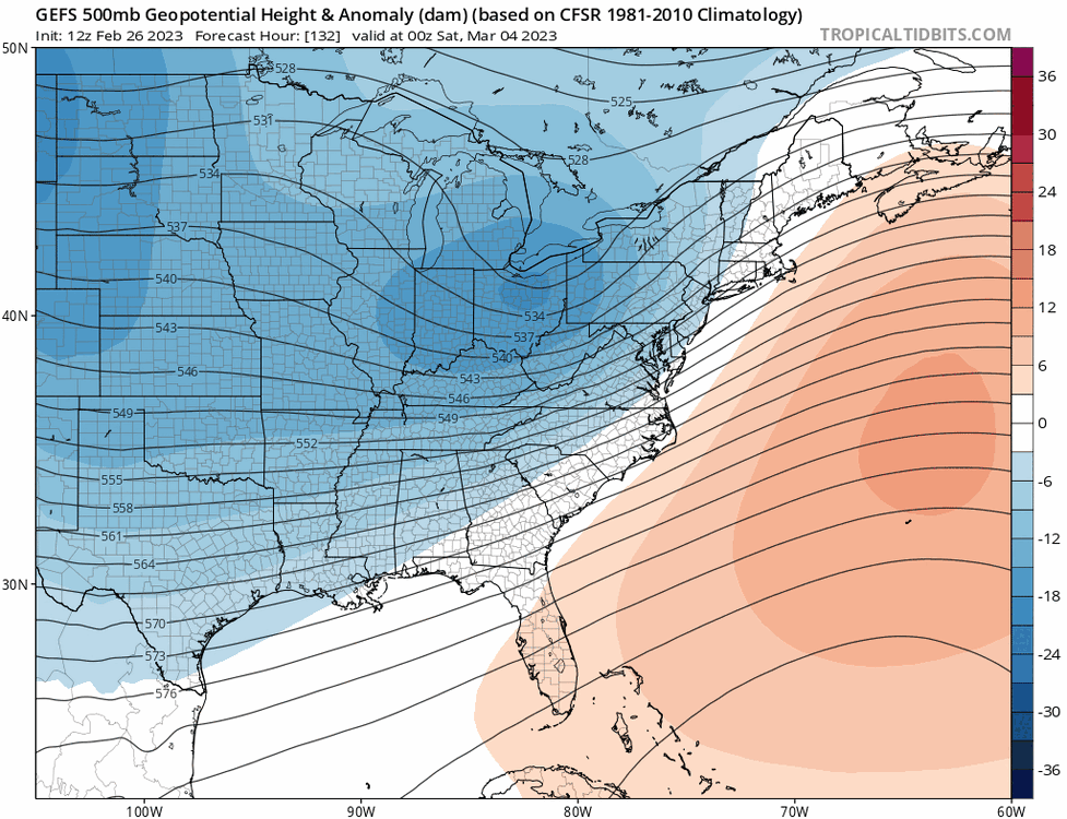
Are those negative anomalies even legit or just more can kicking. GFS/CMC look warm for March 1-10 I'm hoping for an early spring so I can move past this miserable winter as soon as possible. What I would give for a 2012 March
-
It's not done trending north.
-
GFS/CMC looking much warmer for March. I think models are gonna back down on the cool anomalies and we'll still see an above normal month
-
Bring on the torch and end this embarrassing winter
-
That has no bearing on what will happen later. Dews are quite low and this comes at night. Additionally you get secondary development which will help lock in low level cold. A rare positive bust could be in the cards imo.
-
There's probably a March 10-15 window and there have been notable events around that period in the past. It's really the last realistic chance at something significant as anything after mid March is highly anomalous.
-
Confluence is present but it's battling the SE ridge. I think your initial call will be correct unless the confluence really ramps up over the next few days.
-
Yes 01-02 set the standard for horrible winters that this one still beats as of Feb 27th.


