SnoSki14
-
Posts
16,200 -
Joined
-
Last visited
Content Type
Profiles
Blogs
Forums
American Weather
Media Demo
Store
Gallery
Everything posted by SnoSki14
-
Maybe a nino in 23/24 will do the same. It certainly can't get much worse.
-
It fits the crappy pattern we've been in. Hell of a pattern out west though. CFS weeklies and monthly for March says winter is done.
-
We're going to blow past the other seasons. This year has been maximized to be really bad and this was with an "average" December too. Imagine if December were really warm. We're also on track to have the earliest spring leaf out in history which could be disastrous if we get any brief arctic intrusions in March.
-
Yeah I'm sure but the warm winters are definitely creating a feedback loop that only reinforces warm/less snowy winters. Hopefully we haven't hit some runaway cycle yet though I'm sure we will soon
-
I'm pretty sure most places have warmed several degrees in D-F over the last 100 years or so. Don & Bluewave always post great data on that This winter is an extreme warm outlier but still
-
A lot of people still think it's not a factor
-
CFS weeklies show how even a -NAO may not do anything
-
Leaf out approaching a full month ahead of schedule. First signs of spring now in NJ & near the city.
.thumb.png.a0733380cf6ec3e555cafa1c3af2a1e1.png)
-
As long as spring doesn't turn into winter then we're good. I'm sure most would be happy to leave this disaster of a winter behind them.
-
Ecological disaster.
-
We're definitely not seeing that type of blocking. At best it'll be an east based -NAO. Heights look very low over and around Hudson bay & southern Canada because that's where a portion of the TPV will hang.
-
I don't blame anyone thinking it'll be a shutout given the futility of this winter. You're asking folks to keep hope on 8+ day forecasts as we barrel into March after seeing very little snow & cold.
-
Incredibly persistent pattern. No wonder the west has been so cold & snowy A blessing for those facing drought out there Things won't change here until the seasons change. Not expecting any hope til March
-
What does a Nina phase 5-6 look like in March?
-
I've been watching this for a while. Some significant ecological damage with the growing season this far along in mid Feb. With the warmth ramping up this will only worsen
-
And you know what you're talking about? Pulling up random Twitter threads that justify your narrative doesn't make you an expert.
-
That's a favorable look for late winter if true. Lots of cold available. The RNA/-PNA isn't a detriment like it can be in early-mid winter. At the very least you could get some SWFEs. Models are definitely trending towards a -NAO
-
Saying every winter will be a snowless torch is equivalent to JB saying it'll be cold & snowy every season. Dead clock
-
First time -NAO showing up on GEFS Clown range for now but models have also shown hints of the TPV pressing south in the mid range. PNA becomes less of a factor after mid Feb.
-
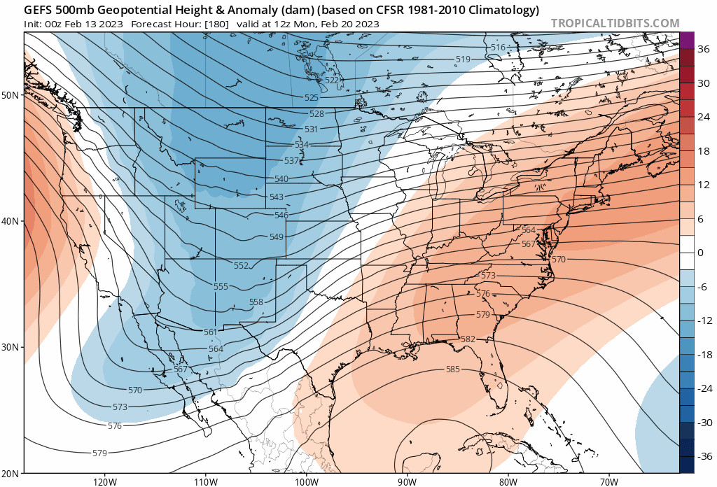
Nice to see the TPV pressing south on the GEFS

-
Boston is getting 100" minimum Calling it now
-
Next winter is gonna be the complete opposite of this year. It's gonna be wild. Climate change favors extreme swings
-
Some arctic blocking would really pin this sucker down. Pacific ain't changing but it doesn't have to in this setup.
-
The effects of a -PNA in March is different than a -PNA in mid winter. Just need some arctic blocking
-
We definitely should for DJF or met winter. March is still a question mark. Next 2 weeks are a blowtorch though with multiple 60+ days


.png.7f85a095311c4fcdccba1632e297b092.png)