George001
-
Posts
6,983 -
Joined
-
Last visited
Content Type
Profiles
Blogs
Forums
American Weather
Media Demo
Store
Gallery
Everything posted by George001
-
 Not a fan of the latest european guidance. Hopefully just a blip run
 -
The long range looks really good, ridging out west and there are signs on some of the guidance that the north atlantic blocking comes back mid month.
-
In my area the Canadian and RGEM are already nearly at the low end of that, if we get a 50 mile tick NW with the low on all guidance that would make a huge difference. That’s what I’m banking on.
-
For what it’s worth, the navy has been moving NW quite a bit the past couple of runs. I like what I’m seeing from the big 3 (Euro, Canadian, Navy). My original thoughts have not changed, widespread 8-12 with an iso 12-16, as I believe the models are struggling with chasing convection and are placing the low too far se and are too weak with it as a result.
-
The Canadian is a great model, this matters in my opinion.
-
The Canadian made a massive shift west!!!!!! LETS ****ING GO!
-
Im interested to see what the Canadian looks like
-
It is, but it came west at 18z. Still needs improvements though.
-
The eps came west last run, but it’s important to note there were 2 camps, 1 was the stronger solutions with a farther west track (mixing would be the concern) and another with father east, weaker solutions (low strength would be the concern).
-
I’m discounting every piece of guidance that shows a weaker solution because it doesn’t make sense with a shortwave that powerful and negatively tilted. disgusting, makes me sick! I hope they discontinue that piece of shit model!
-
I’m still more worried about mixing than the weaker solutions verifying.
-
….yeah it’s weaker, but the run had major initialization issues and is struggling with the pattern.
-
That ****ing sucks. Hate to see it, I think it had initialization issues though.
-
I don’t think it’s weaker, just a little slower to develop. Looks like the shortwave holds back a bit more than last run, and the storm starts bombing out later. This gives it the appearance of being weaker, but it holding back more wouldn’t it be a good thing because of better wave spacing? I think it’s going to recover and end up farther west and stronger than last run.
-
The guidance looked good for 6-12 with potential for more if things broke right a couple days ago, nothing wrong with 3-6 but when taking into account how good things looked a couple days ago it would be a bit of a let down. For me it’s all about expectations, if I’m expecting 1-2 and get 3-6 I’m very happy with it, if I expect 6-12 and get 3-6 it’s a big disappointment. I am holding out hope that it comes back west.
-
My forecast: 8–12 in all of eastern mass with an isolated 12-15 in heaviest banding. The higher end will probably be NW up into central and northern Mass, lower end in my area. In my opinion the models are underestimating the strength of the low.
-
The shortwave is way too powerful and goes negatively tilted too early for the weaker solutions to even be a concern.
-
What about my area?
-
The gfs is such a terrible model, it moved like 500 miles NW with the low in 2 cycles less than 100 hours out. The European and Canadian guidance have shifted some but they always were farther west, ranging from between over se mass to just inside the benchmark.
-
2014-2015 and 2012-2013 were 2 really good winters that started slow. In 2014-2015, we didn’t have anything big until the Miller B blizzard late January that gave eastern mass 2 feet of snow. Then we got a few more severe blizzards in Feb.
-
Thanks for the explanation, that makes sense. I hope that happens with this storm, a track over the cape which would still keep my area NW of the rain snow line, but the low would strengthen enough that we can get those higher end totals.
-
I don’t know if this means anything but I noticed on some of the models even the more inland ones, that the rain snow line only got like a few miles NW of the low. In some storms the rain snow line is well NW of the low, why is that?
-
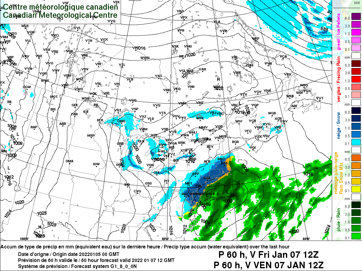
The gfs had me getting a foot of snow for today’s storm just a few days out. I didn’t get a flake. This one isn’t going out to sea.
-
Welp, I think it’s safe to admit my forecast the Boston’s getting more snow than DC for this storm is going to be a massive bust. DC is getting hammered, our turn is on Friday.