Northof78
-
Posts
578 -
Joined
-
Last visited
Content Type
Profiles
Blogs
Forums
American Weather
Media Demo
Store
Gallery
Everything posted by Northof78
-
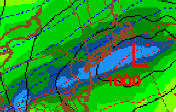
 Close to 1" QPF for N/C NJ and 0.75" for almost all of the region, close to 100% snow for Rt.80 N and 75% snow Rt.78 N, this verbatim is very impactful storm with warning levels
-
NAM through hour 33, all snow north of TTN....4-8"
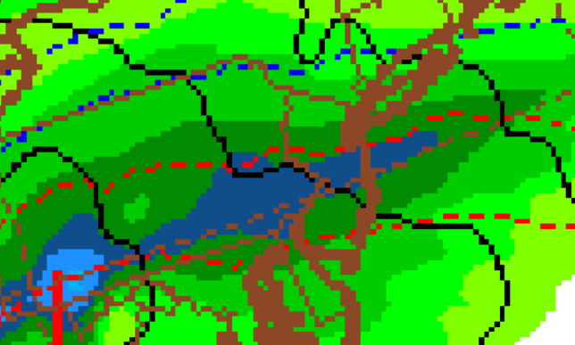
-
Yup, the GFS type thump and go of 3-5" for the area is very possible, with material snow falling in 4-5 hours
-
Around 5" (70 snow/30 sleet)
-
Final Forecast: NYC/EWR- 3.0" (about 50/50 snow-sleet) SMQ- 3.5" (about 50/50 snow-sleet) MMU- 4.5" (about 70/30 snow/sleet) HPN- 5.5" (about 80/20 snow sleet) There is 1"-2"upside potential to these numbers depending on how different waves interact, thump timing, cold intrusion (now occuring), etc. with little downside potential from these totals.
-
Looks like NWS New York right on with general 3-6" around the metro so far with some sleet as well given all morning guidance.
-
NAM looks good for roughly 78N (although with a couple different waves of precip, some in S/C Jersey could get similar totals), think 3-5" for most in N NJ outside of 5-7" in NW Jersey and S NY State
-
16" (52% of average), about 17 days of snow cover, well above normal temps, no big storms, nothing in Dec, if it ends here...D+
-
Refresher snow & obs between ~midnight and Noon Sat Feb 17 2024
Northof78 replied to wdrag's topic in New York City Metro
what did you get out there? -
The Weekend Rule? Saturday 2/17 - The Icon Storm
Northof78 replied to DDweatherman's topic in Mid Atlantic
N/C NJ same band with 10 -13” highest reports, very thin however… -
Refresher snow & obs between ~midnight and Noon Sat Feb 17 2024
Northof78 replied to wdrag's topic in New York City Metro
4" and snowing at a steady light clip -
Refresher snow & obs between ~midnight and Noon Sat Feb 17 2024
Northof78 replied to wdrag's topic in New York City Metro
3" here and snowing moderately -
Refresher snow & obs between ~midnight and Noon Sat Feb 17 2024
Northof78 replied to wdrag's topic in New York City Metro
Started to snow lightly in S/W Essex county -
Refresher snow & obs between ~midnight and Noon Sat Feb 17 2024
Northof78 replied to wdrag's topic in New York City Metro
Point being? Snow is snow -
Refresher snow & obs between ~midnight and Noon Sat Feb 17 2024
Northof78 replied to wdrag's topic in New York City Metro
GFS solid 14/16 hours of snow with 4-6" for most of area outside of north of NJ/NY border -
Refresher snow & obs between ~midnight and Noon Sat Feb 17 2024
Northof78 replied to wdrag's topic in New York City Metro
WWA advisories in NJ up to NY border in NY CWA -
Refresher snow & obs between ~midnight and Noon Sat Feb 17 2024
Northof78 replied to wdrag's topic in New York City Metro
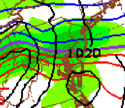
NAM axis of heaviest accumulations would be actually be further north, between Rt. 287 and Rt.80 in NJ NJ, less in S/C NJ -
Refresher snow & obs between ~midnight and Noon Sat Feb 17 2024
Northof78 replied to wdrag's topic in New York City Metro
I live on the northside of the median on 78, so 3" I guess... -
EWR think is was 7-8:1, N/C NJ (inland) 8:9-1, NW NJ, S NY State 10:12-1....outside of NYC proper materially higher than forecast.
-
2/13 Significant/Major Winter Storm Discussion & Observations
Northof78 replied to Northof78's topic in New York City Metro


-
2/13 Significant/Major Winter Storm Discussion & Observations
Northof78 replied to Northof78's topic in New York City Metro
Yes it is!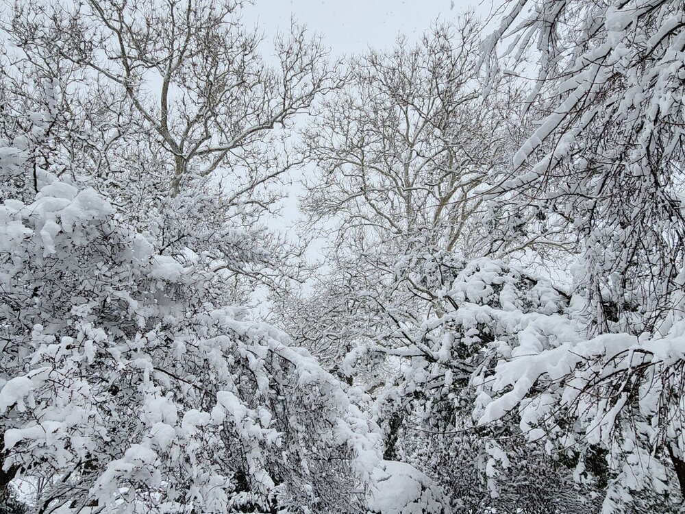
-
2/13 Significant/Major Winter Storm Discussion & Observations
Northof78 replied to Northof78's topic in New York City Metro
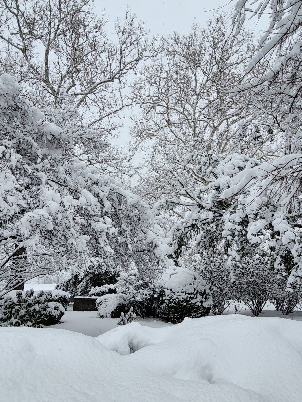
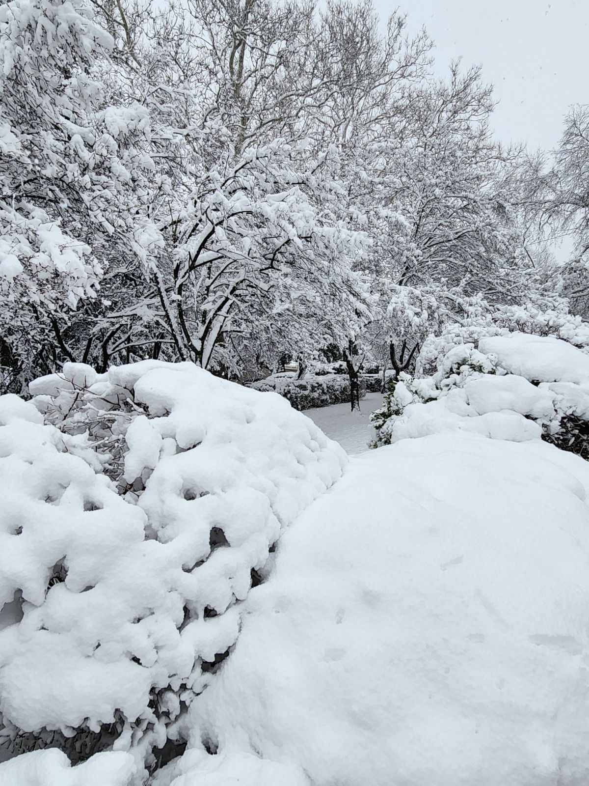
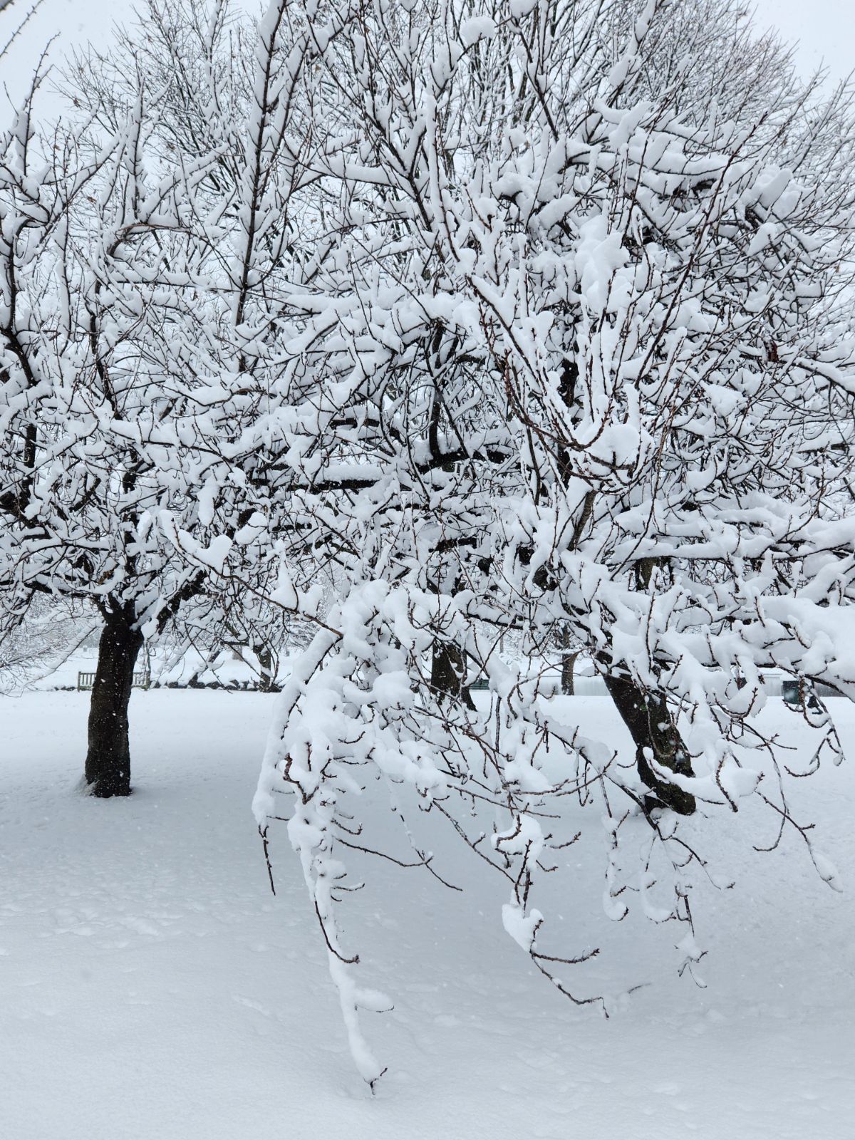
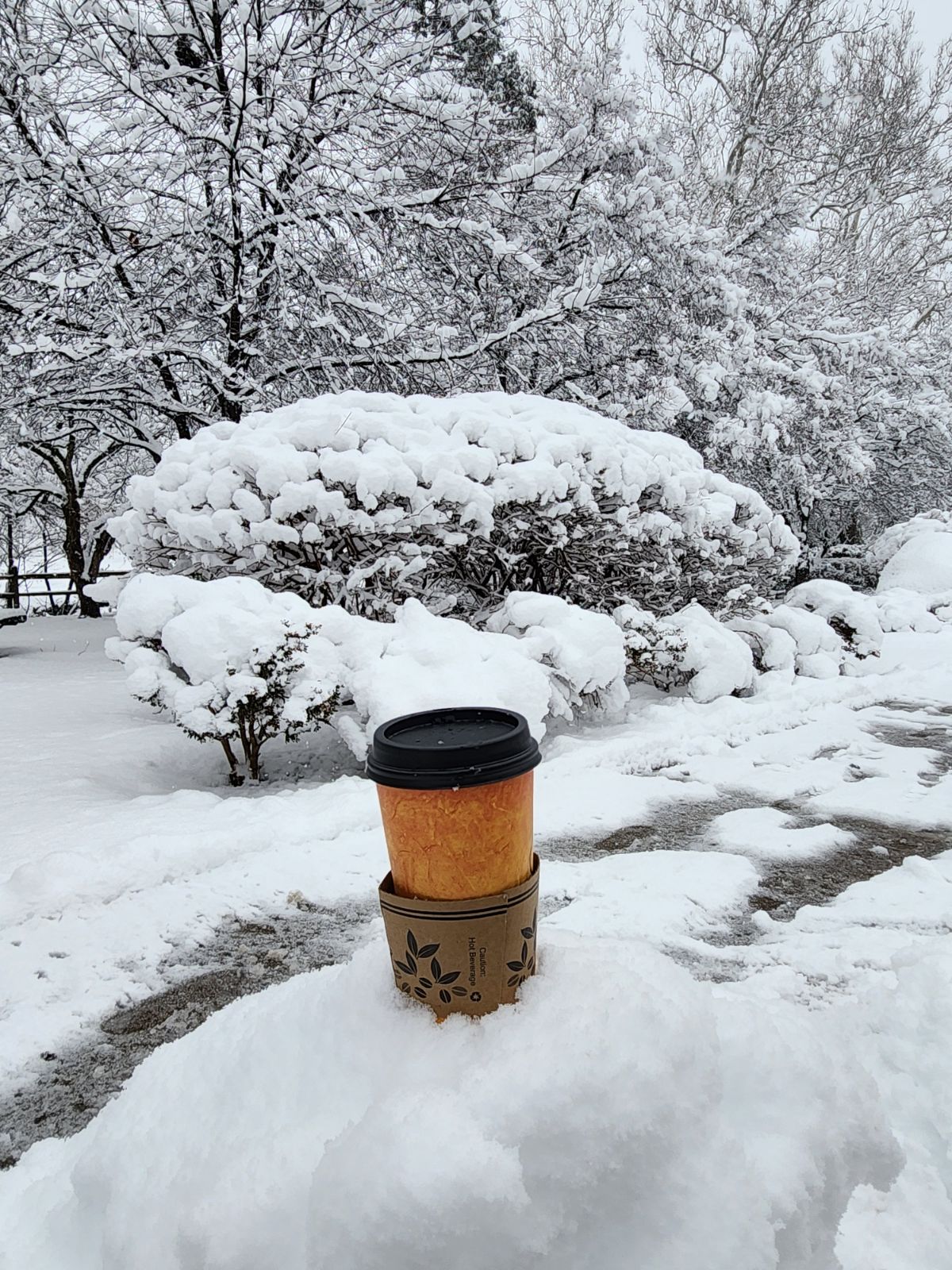
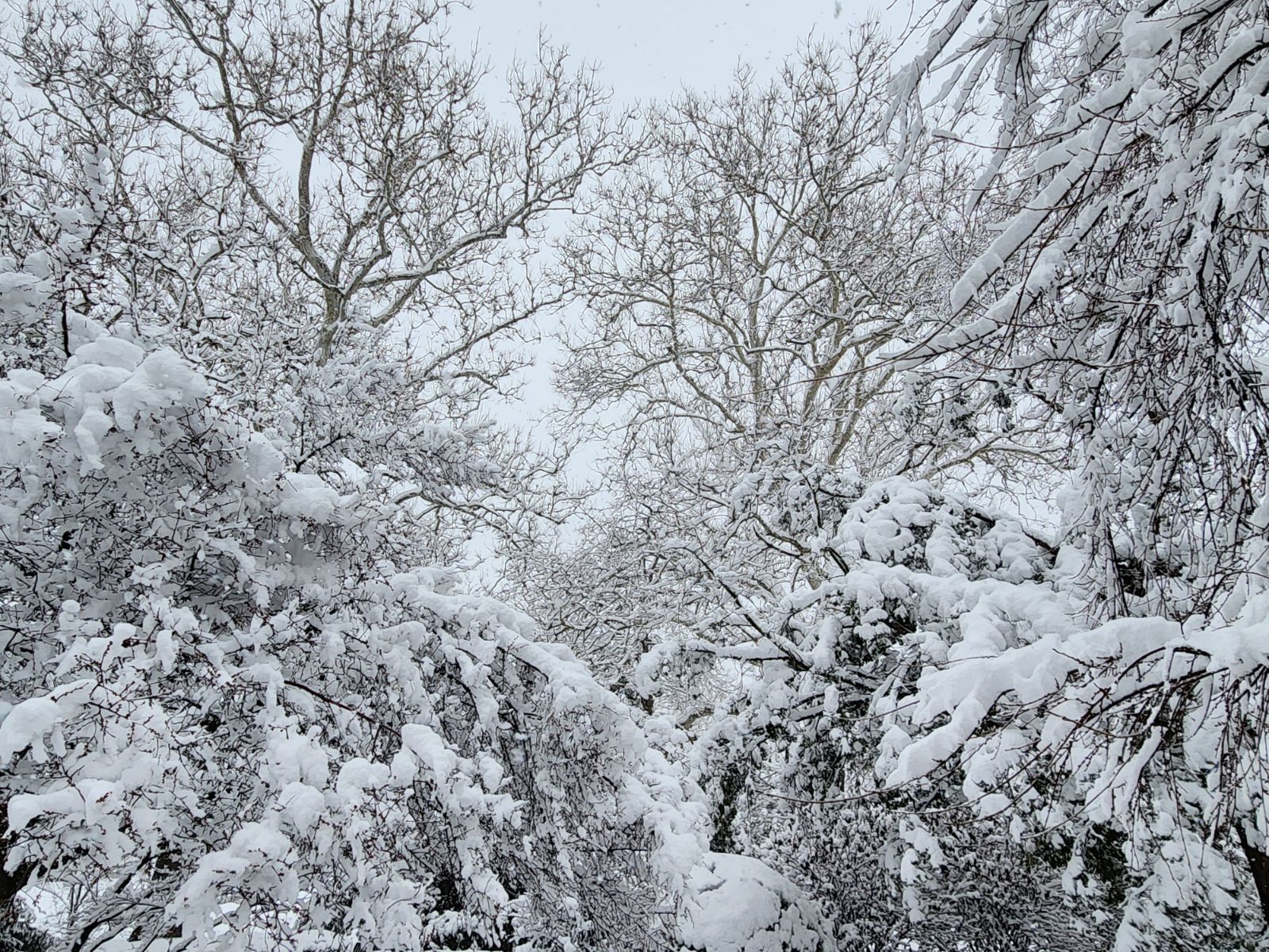
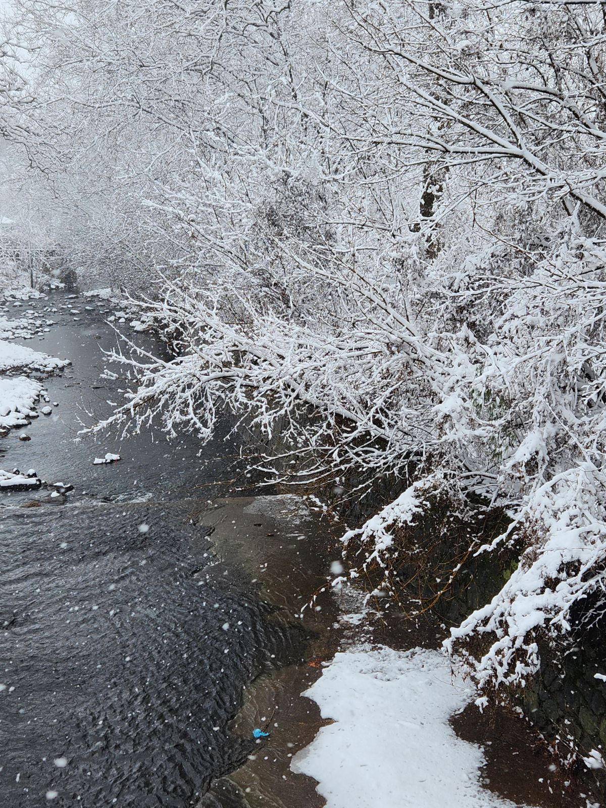
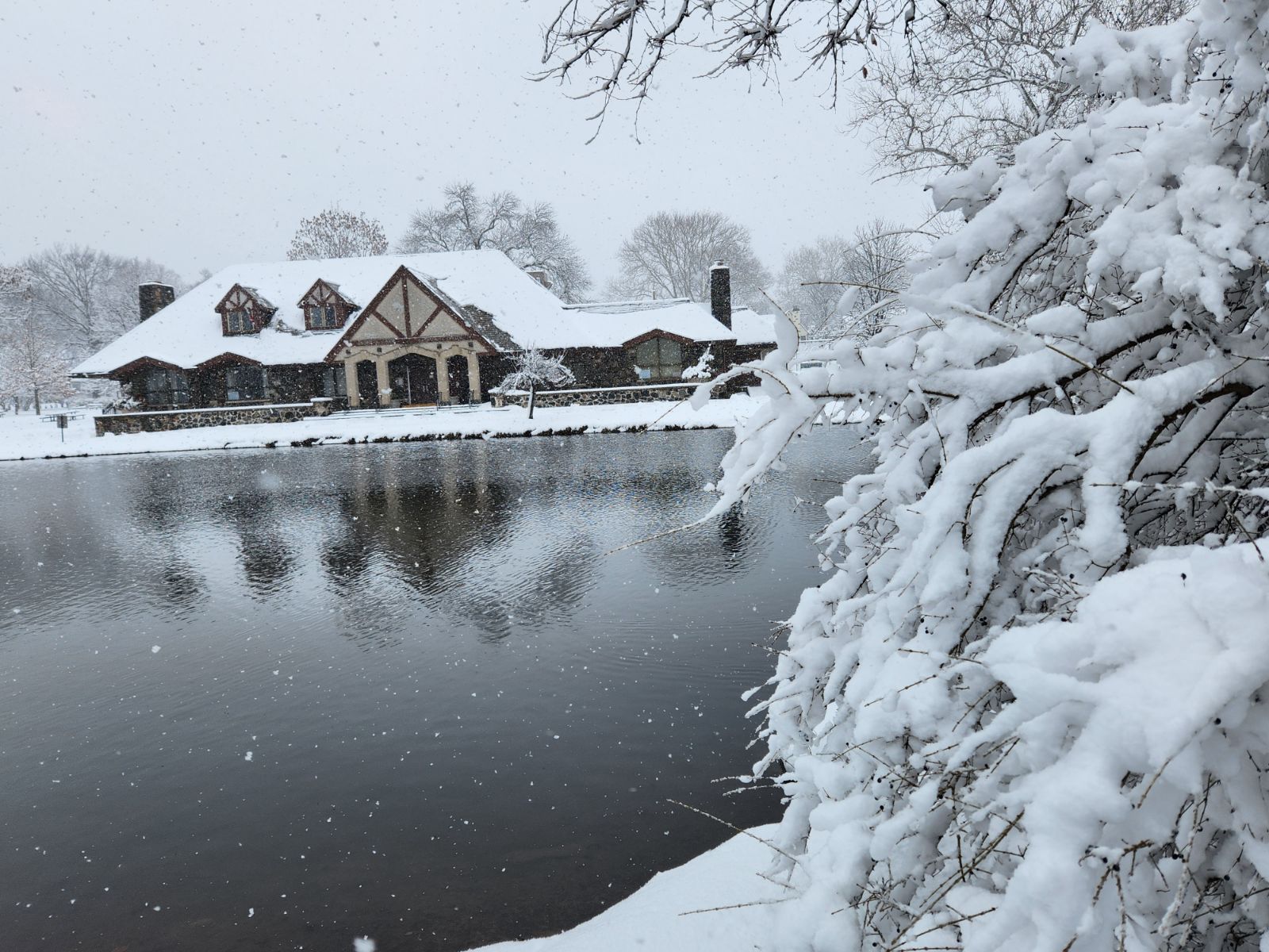
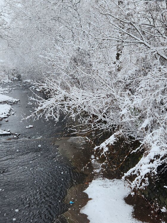
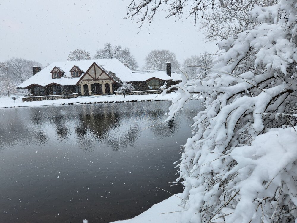
7.2" storm total here, everything looks gorgeous with deep snow on all trees and all surfaces, etc. Great storm! -
2/13 Significant/Major Winter Storm Discussion & Observations
Northof78 replied to Northof78's topic in New York City Metro
Around 7" OTG here, probably end with 8", some blowing snow off roofs, moderate rate, excellent storm