vortex95
-
Posts
1,493 -
Joined
Content Type
Profiles
Blogs
Forums
American Weather
Media Demo
Store
Gallery
Everything posted by vortex95
-
I think much of the general public is wise to all the hype, but it's always the few that yell and screen the loudest, cry foul "WE GOT NOT WARNING!" and worry about everything, and that gets all the attention and skews overall perception. Then you get knee-jerk reactions from politicians and authorities w/ silly changes and waste of resources. Cases in point, Matthew floods in NC/SC in 2016 and Ida floods in NYC in 2021. Warnings and strongly worded high flood risk statements out days in advance up the wazoo, and still politicians and authorities cried foul. It just goes to show even when fcsts are spot on, you still get nonsense. That makes me question this notion that more warnings are better from a social/political standpoint b/c you still get whiners regardless.
-
Yes, starting on Sat, it looks quite good for tstms in the Mid-Atlantic! Give us some good training soakers as we need the rain badly.
- 1,481 replies
-
- 2
-

-

-
- severe
- thunderstorms
- (and 7 more)
-
And on Aug 3, BOS was something like 93 at 9am, but a BDF ruined what probably would have been their all-time highest temp!
-
Devil's advocate? Good! Promotes more discussion and is a valid discussion position, and I take this position every so often as well! Yes, from a sensible wx POV, 100 vs. 104 is trivial. It's like last year when TPA hit 100 for the first time, when they had 99 many times. Is that *really* a big deal? The MSM sure made so it was! However, nothing is scaled properly anymore. You look at the MSM and so many on social media, slicing and dicing down everything to the smallest minutiae they can find to hype. So 100 and 104 in a social or psychological sense *is* a big deal. It really shouldn't be, but that's society for you. We have a very bad tendency to make mountains out of molehills and find issues where there is none. And yes, it will be hot and impact and the public knows that, but to embellish it w/ all these stupid bells and whistles and prophecies of doom? That is counterproductive and self-serving to those who promote senseless fear-mongering.
-
And where is the MSM on that? Crickets. You can't have both ways. Selective reporting is rife.
-
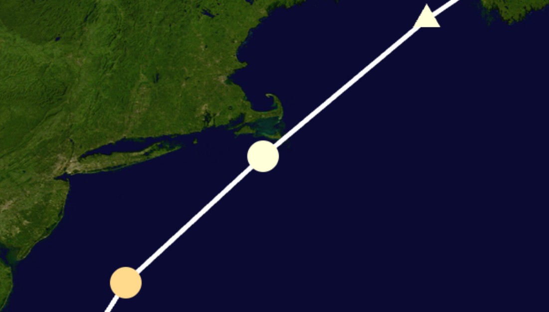
Storm #3 Aug 1924 tracked is so very close Nantucket (look at the track attached), it is essentially a landfall. Splitting hairs here I know, but the RMW and core would be over land so practical purposes, this I think it can count. As for 1930s extremes? You want to talk about "wx whiplash?" (cheesy made-up term by the media, but sometimes you have to fight fire w/ fire!). How about this? In ND during 1936, only 5 months apart, all-time record hot and cold temps for the state were set. 121 F occurred at Steele on 7/6 and -60 F at Parshall on 2/15. The 1930s was a lot more than just the Dust Bowl for U.S. wx extremes, and for the globe as well.

-
So I saw the point fcst today for BOS, the NWS (NBM likely) had 104 for Thu. 12z GFS MOS has 96. I can see 100 at BOS, but 104? You really think going 8 deg above MOS at DY3 is reasonable? As I have said, this is not a classic Bermuda High set up, nor is it solid NW flow subsidence for big heat coastal SNE. So hardly a 1-2-3 fcst. There are many caveats. You have a dirty ridge for lots of clouds at times that can reduce peak heating potential. Waves of convection a wildcard as to mucking up the low levels across the NEUS. And why doesn't anyone talk about this, at least for coastal locations? A rule of thumb for sea breezes is looking at the sfc pressure difference between PWM and BOS. For the biggest heat period, it is 2 mb difference or less. That means local sea breezes likely, which again, reduce max heating potential. Sure, BOS likes to flip at 5-7 pm to an offshore wind and the temp spikes, but that often knocks off a few deg for the high temp compared to if there was no sea breeze. Oh, but NBM is "it" and to heck w/ human forecasting skill, knowledge, and subjectivity? This goes beyond just the met science. 104 would tie the all-time record temp for BOS. Psychologically, that is big, and makes the hype ever worse. This has real social and economic impacts, one big one in the form of cancelling and shutting so much down excessively. How is this a good thing overall? One should not fcst all-time anything w/o a darn good reason to. Models not all in agreement BOS will tie its all-time record high temp. That's one strike. Second strike, pattern recognition comes into play here, and for the biggest heat a solid Bermuda High or NW flow set up Like August 2, 1975 is historically needed to BOS to have something like a 104 max. We don't have these here.
-
Yes, there is a pithy saying "facts are meaningless without context!" This is why knowledge and understanding is history (wx or otherwise) is paramount, Things looks a lot different when you have this as part of your knowledge base. And I know this is cliche, but the longer you live, the more you see things better in this case. You realize that "this has happened before, and we did just fine overall, so it is really going to be that bad or are things that bad?" Don't get me wrong, there is impact and the negative, but what, do ppl really expect no impact or negative at all ever from wx? Geez, what planet are they living on? And you have to ask, how did we ever survive before the age of more advanced technology that makes us *far* safer and more resilient to wx?! This is the problem we face -- we have made great strides in improving things across the board for mitigating wx impacts, but you have this odd human tendency to just refocus on what bad or negative is left, and run w/ that, as if it way worse than before and the end is nigh.
-
I stand corrected. Thx! That makes the 1975 event even more insane. Since you had the all-time NE record temp of 107 set at EWB and 100s on Cape Cod, that still would suggest sig NW flow subsidence, and yet dews still that high? You wrote: "I just think that its kind of ironic how even with all this global warming that is happening, we still haven't been able to beat 1975" Ironic is an understatement. There is more to the story, as always the case when you have front and center heated debate/problem as to what is what. You could also say why something like the record heat/Dust Bowl of the 1930s has not occurred again, or why New England got 5 direct hurricane strikes from 1938 to 1960, and it has been almost 35 years since our last direct hurricane strike (all-time record gap). or why 31 of 50 U.S. states have recorded their all-time max temp from 1900-1937. There are numerous examples like the above all over the globe. How did such events in a cooler globe that match or exceed what has occurred in recent decades w/ the globe that much warmer? This is not rocket science or conjecture, it is basic logic. These past events are a matter of fact, and can't be discounted/ignored simply b/c it doesn't fit a narrative. What this proves is that the effects of a warmer globe are *not* linear and uniform. The MSM and alarmists act like *all* gets worse across the board everywhere b/c of warmer mean temps. That is an inane and vapid notion/mindset. The Earth's climate is a chaotic, non-linear, coupled system, yet you get too many treat is as 1-2-3. Example? Warmer ocean temps and that means bigger and more intense hurricanes. Yes, everything else being equal, that is true. What they conveniently ignore is changes to mean RH vertical depth in the tropics/subtropics, changes to vertical wind shear, and general circulation changes. Ocean temps are only one part of equation for hurricanes. Hurricanes, esp. intense ones, require very specific conditions, and everything has to line up properly. Throw one thing off (shear, moist environment, or SSTs), and that puts the breaks on this significantly. And I would argue that SSTs are the least important b/c you have more than warm enough SSTs in large areas across the globe to support intense TCs, or a TC at all, and how many occur per year? It is more of a delicate balance than one may think, and "more" (higher temps in this case) does not always work in a nice, neat linear fashion, esp. when it comes to complex systems.
-
Well said. That a major sticking point. Every wx event now is treated or pushed as if it is the "worst ever," "unprecedented," and "should not be happening," which is absolute nonsense. They completely ignore wx history and act like all that matters is what happens in the here and now. They prey on the cognitive shortcoming of "recency bias" to mold and brainwash the masses. Also, there is a lot of $$ and power to be gained when you have problems -- real, exaggerated, or imagined/concocted. Not to mention bad news sells -- the eternal constant.
-
"The US will endure one of its most expansive heatwaves in history this week." "One of the most...in history" Vague statement. Quantify it! Look for these weasel lines/statements/rhetoric. It reveals a lot. What does "one of the most" mean? Is it a top 5, 10, 20, 50 event? And the heat is just getting started. How can you know the true extent of it historically before it is has happened/finished? "In history" - which history (period)? Since the last ice age? Since the U.S. was founded? Since standardized temp records commenced (1870)? In the satellite era? I have often found "history" these days to much of MSM starts no more than a generation ago or the year 2000. I have no respect for people like this that push out relentless hype and alarmism and ignore context, perspective and balance. It is bad science. All they care about is their ego, monetization, and/or pushing a narrative.
-
August 1975 and April 1976 had the benefit of low dew points and solid W or NW subsidence. In the summer, it's very hard to have near record/record heat and low dew points just due to climo. Obviously, August 2, 1975 was exceptional. Nothing like that since. 100 even at ACK???? They struggle to even get to 80 in summer!
-
Hampton Beach ydy and tdy as well. Right on the beach scrapping!
-
Got it.
-
The issue on Friday is that the ridging aloft is still almost right over us w/ very warm 700 mb temps. This is not conducive for convective development as things are capped. Any storms that manage to develop will just collapse on themselves due to very light winds aloft. Sat and after is better for tstms here. You can't treat a single convective parameter in a vacuum and run w/ that. Other things have to be present for tstms to develop and sustain. Using the K-index like this is like saying b/c there is a lot of CAPE, that means there will storms. Many days there is lots of CAPE, and nothing happens for various reasons. For the K-index itself, it is probably best for forecasting heavy rainfall potential as it indicates a solid moist vertical profile 700 mb and below. Also, an axis of higher indices often indicates a boundary present that may not show up on other analyses. K-index though in a solid svr wx environment often is low owning to dry air at mid-levels. Dry air at mid-levels actually tends to be better for svr wx overall as it can mean an EML is present.
- 1,481 replies
-
- 7
-
-

-
-
- severe
- thunderstorms
- (and 7 more)
-
This is apparent temp, not actual air temp. Apparent temp is a biological factor only. A world exists beyond the biological. And we assume everyone has the same tolerance to heat, which is false. It varies widely. There are been a noticeable shift focusing way more on apparent temp than the actual air temp, which is what matters most in the end. We do not have a solid climo history of apparent temp either for historical perspective. And ever notice apparent temp is only talked about when it is higher than the air temp? I wonder why. I'll tell you why, for a dew point of about 58 or less, the apparent temp is actually *lower* than the air temp, so it feels better/less bad. Can't hype that. The door swings both ways here.
-
Supercell pix Danvers MA from 6/26 https://www.facebook.com/share/1JPtm7q9nt/?mibextid=wwXIfr
-
Good. That just makes it "nearly unprecedented!" Seriously, I have seen that in media headlines. Any excuse to sneak the word "unprecedented." They love their buzzwords.
-
It hit 100 at DCA on 6/12. DCA ended its 5th longest streak of no 100 F on 6/22/24 (2867 days).
-
I can guess what you are implying here. Pointing out caveats or what could go wrong for events/forecasts is a reasonable position to take. It prevents one from getting carried away and biased from the "could be's" and "what if's" as one example. The "could be" and "what if" issues are *rife* these days on social media. People hide behind the fact that just b/c something has a non-zero chance of occurring, they should mention it and hedge like it *will* happen. This is almost entirely for click/engagement bait to monetize their sites and drive the algorithms. Or to be a "hero" to claim "I called it first!", despite going big every time, and use the broken clock is right twice a day fallacy. The vast majority of the time, the worst case or high-end record event will *not* happen, and one should start always from the baseline, not the other way around.
-
Where exactly? Which day(s)? Generic statements like this do not cut it these days. The details count and the models can parse these out much better these days. From a MSM media standpoint, it likely is going this way, "NYC is going to be very hot, so that mean *all* the East Coast is going to be a super torch." Never underestimate the power of thinking a location is the center of the universe!
-
It's all dangerous in the end. The prefixes and adjectives used these days are out of control. My biggest pet peeve is "catastrophic." It's always that now. You never see, "severe," "heavy," or "disastrous," referring to impact or damage. Impact and damage are scalable, but we choose to throttle to the max all the time. That's counterproductive in the end. More is not always better.
-
The thing in this case, it's not a uniform slam dunk. This is not a classic Bermuda High set up, nor it is a dry solid sfc NW flow (a la Aug 2, 1975). Eastern and western sections need to be treated differently. You can't just gloss over it all. The difference between 90 and 100 deg readings is non-trivial. You can't just say "hot" and leave it at that. There are important details to be worked out here. The above factors preclude going high-end record heat across the board at this range still. Of course, the MSM doesn't treat it this way. HOT HOT HOT and the world is ending....
-
I knew you were showing praise. I just wanted to make sure I have not stirred the pot somehow w/ a previous post and it resulted in a tangent issue.
-
Where is the DGEX when you need it! 168 hr NAM...right!