MN Transplant
-
Posts
17,948 -
Joined
-
Last visited
Content Type
Profiles
Blogs
Forums
American Weather
Media Demo
Store
Gallery
Everything posted by MN Transplant
-
The HRRR verbatim at 12z Saturday is single digit temps and wind gusts approaching 50mph. That would be rare territory around here.
-
We’ve had some unpleasant days this winter, but Saturday might top them all. That wind is going to hurt.
-
The Euro is always too high with gusts, but it is putting out mid-50mph on Saturday. Shave 10 off of that and it is still a nasty day.
-
39.9 for my high so far. You can see the melt around the edges.
-
Crossed the freezing mark at just past 9am. It'll be interesting to see what happens to the pack today.
-
You are big dog hunting in the wrong place!
-
The problem with this Wednesday thing is that any new snow is going to throw this area back into a mess, even with some melting on Tuesday.
-
Many people ask how you can live in the north with those cold temperatures. And you nailed the answer, you kind of just get used to it and dress appropriately.
-
Low of 10.0 and wind chills in the single digits below zero. Brisk.
-
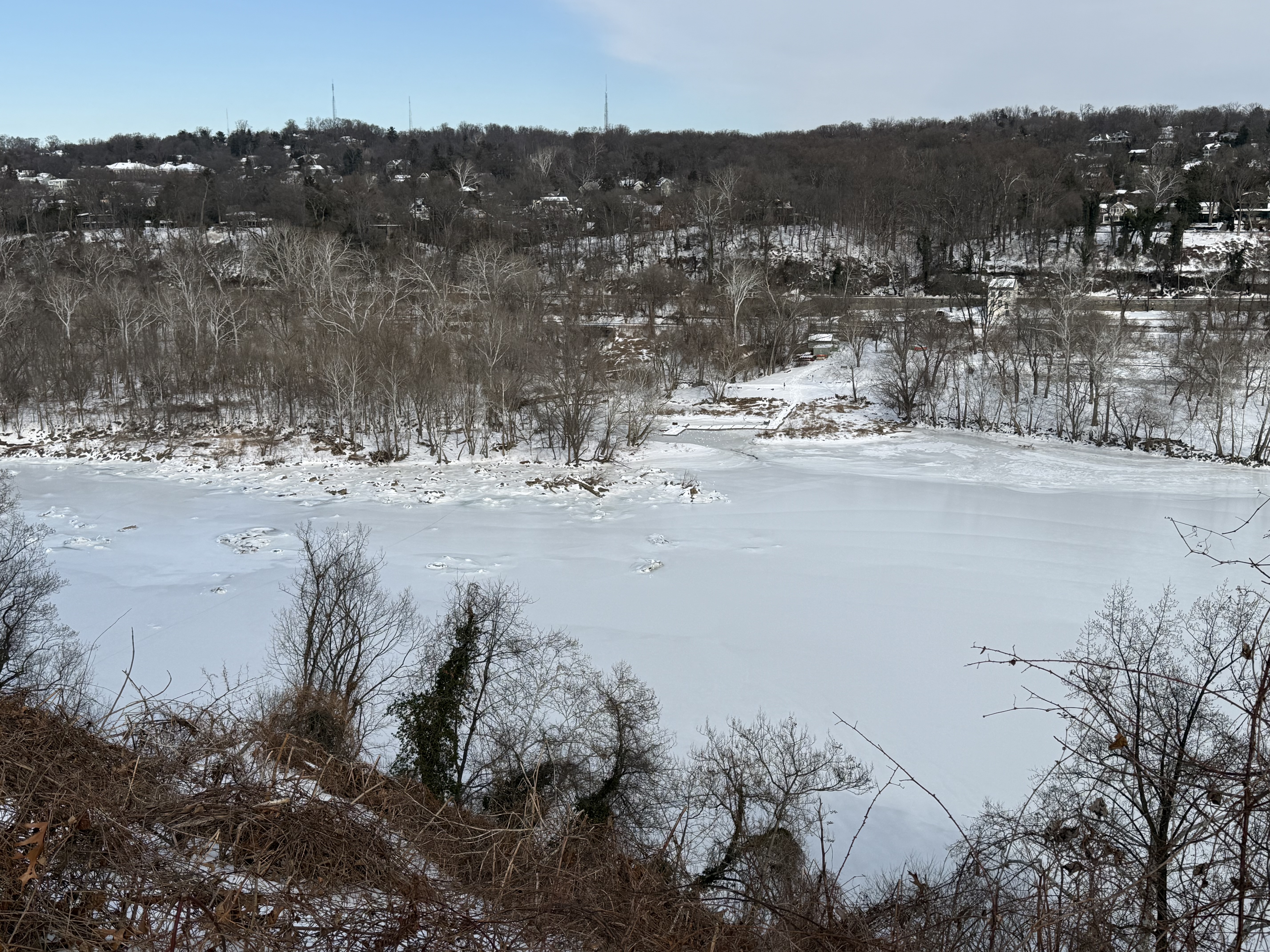
1.80” on my core sample today. Down about 0.5”, but that’s impressive after nearly a week. Potomac from the pull off on the GW Parkway today
-
The closest mPing reports are SW of Richmond
-
7.2, second coldest of the winter. Airports were all around 10. I've been surprised in this stretch that IAD hasn't bottomed out like they normally do.
-
Wild day in Minnesota sports. The GMs for the Twins and the Vikings got canned on the same day!
-
Gulf-effect snow. Fantastic. The HRRR has a hint of it too.
-
Here's a fun one. At my house (6.8), BWI (9), and DCA (10), the coldest temperatures of this stretch were on Saturday morning, before the storm.
-
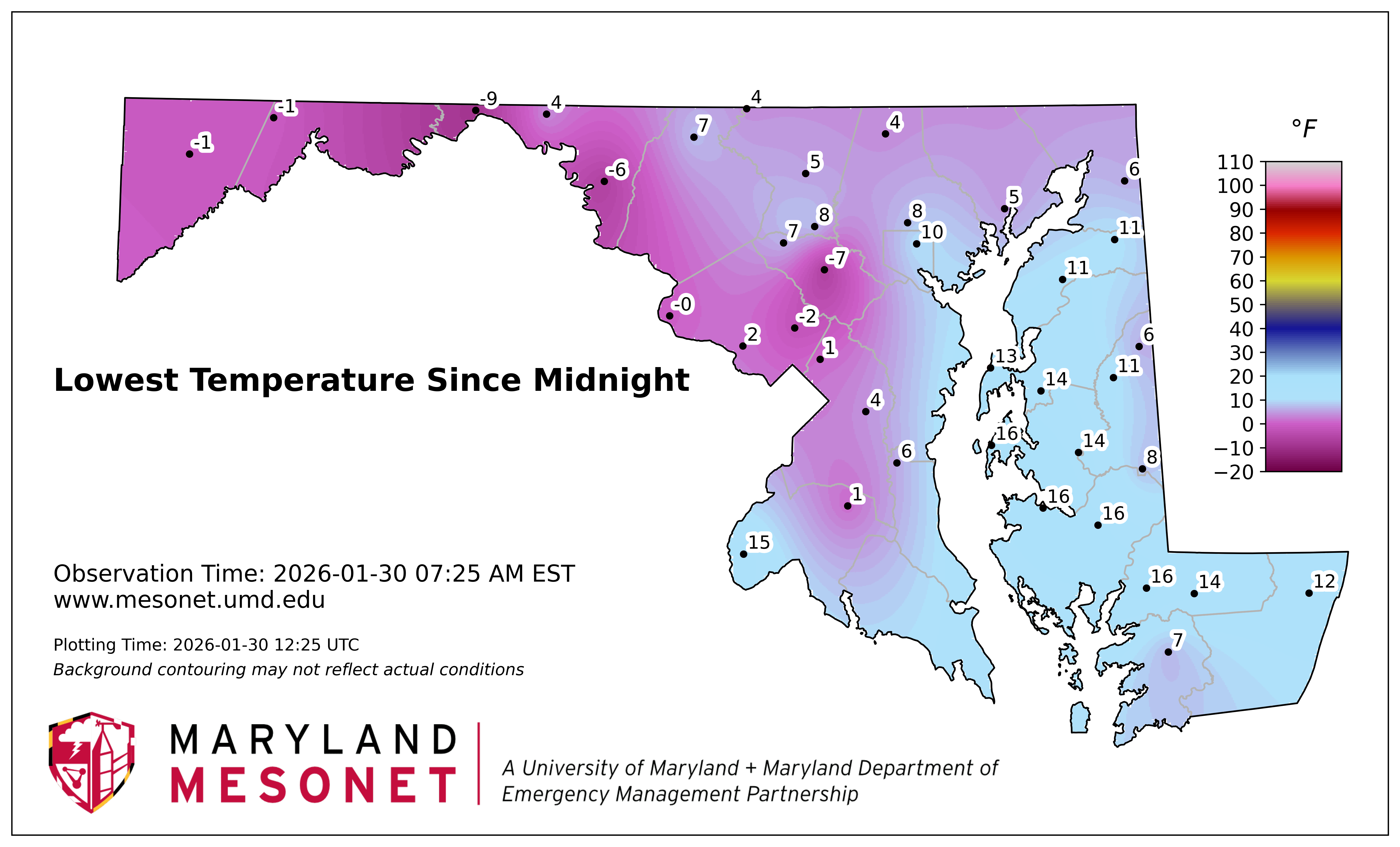
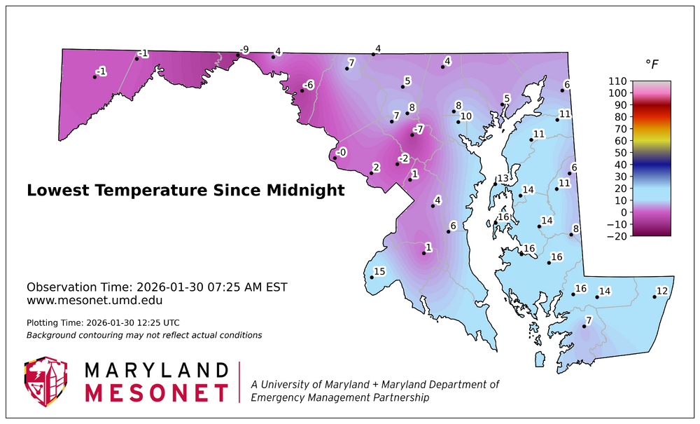
The temperature differences across the regions are getting wilder as we get later into the week. Airports: DCA 13, IAD 6, BWI 8. Mine was 9.1 and most of northern VA looks to be in the 6-12 range. But MD is...cold.
-
I keep getting an error message.
-
10.9 for the low. Snowpack stopped compacting. Same 6.5” as yesterday.
-
The sidewalks are a disaster. My neighborhood has always been good about clearing them, but this storm was a complete breakdown. Kids walking to sledding locations have been walking in the streets. No way was school ever opening.
-
mPING report of snow and weak radar returns around Chesapeake Beach
-
Sunday is going to be nasty with temps in the teens for much of the day and wind gusts at least into the 30s.
-
The NAM 3km is doing pretty well IMBY, but isn't cold enough in the low-lying areas. The HRRR is the inverse. The globals are having all sorts of problems. The fundamental answer is that the models just have so much trouble handling the very stable winter boundary layer and how much mixing there is.
-
I'm just guessing here, but I would think that we are looking at two things: 1) Confirmation bias. Unless there is an actual study showing that this is true, it may just be the snow weenie in all of us that remembers these types of changes. 2) But if the anecdotal theory is actually true, it might be that the patterns that result in an H5 feature going through the deep south may simply be more predictable due to the strength of the blocking required to make that pattern happen.
-
The fundamental problem with the lows is that the airmass is potentially historic in length, but not severity. So, we are getting very cold in the favored spots, but overall it isn't just enough of a cold airmass to challenge some of the more fun numbers for many of us.
-
Boxing Day was worse because it was hitting up north too.