MN Transplant
Meteorologist-
Posts
17,673 -
Joined
-
Last visited
Content Type
Profiles
Blogs
Forums
American Weather
Media Demo
Store
Gallery
Everything posted by MN Transplant
-
2022 Mid-Atlantic Severe Wx Thread (General Discussion Etc)
MN Transplant replied to Kmlwx's topic in Mid Atlantic
-
2022 Mid-Atlantic Severe Wx Thread (General Discussion Etc)
MN Transplant replied to Kmlwx's topic in Mid Atlantic
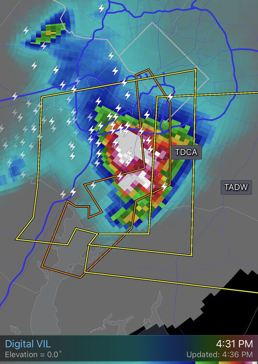
VIL and lightning increasing on the Arlington cell -
2022 Mid-Atlantic Severe Wx Thread (General Discussion Etc)
MN Transplant replied to Kmlwx's topic in Mid Atlantic
Going to be decent hail in that core headed to south Arlington. -
2022 Mid-Atlantic Severe Wx Thread (General Discussion Etc)
MN Transplant replied to Kmlwx's topic in Mid Atlantic
Got some hail now. Little bigger than pea. Some good CGs. -
2022 Mid-Atlantic Severe Wx Thread (General Discussion Etc)
MN Transplant replied to Kmlwx's topic in Mid Atlantic
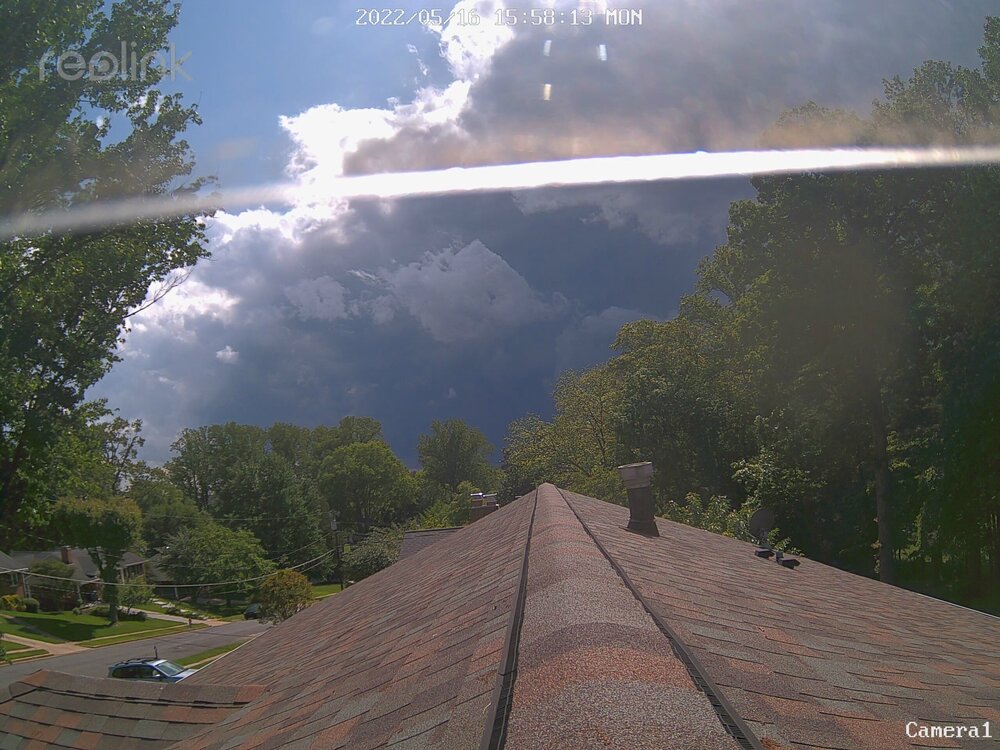
Gusting into the 30s. Not too bad here in Falls Church despite the look of the radar. -
Congrats! Felt like you just went down there to us old timers.
-
First 90 at home. 90 at IAD, while DCA will have to wait a bit longer.
-
Temps did finally drop. IAD spent about 15 minutes below 70 degrees. Still, impressive for May.
-
The oddity is that usually it is a river/UHI thing. Not tonight. Full on warm air advection with a breeze.
-
The temperature is barely dropping if at all tonight. DCA was 82 at the 9pm ob and is 83 at 1am. The *monthly* max min record at DCA is 78. At IAD it is 71 (current temp 81)!
-
2022 Mid-Atlantic Garden, Lawn, and Other Green Stuff Thread
MN Transplant replied to mattie g's topic in Mid Atlantic
- 137 replies
-
- 7
-

-
- maters
- green stuff
- (and 5 more)
-
2022 Mid-Atlantic Severe Wx Thread (General Discussion Etc)
MN Transplant replied to Kmlwx's topic in Mid Atlantic
-
That is legit mid-Atlantic hail.
-
Where was that?
-
2022 Mid-Atlantic Severe Wx Thread (General Discussion Etc)
MN Transplant replied to Kmlwx's topic in Mid Atlantic
-
2022 Mid-Atlantic Severe Wx Thread (General Discussion Etc)
MN Transplant replied to Kmlwx's topic in Mid Atlantic
-
2022 Mid-Atlantic Severe Wx Thread (General Discussion Etc)
MN Transplant replied to Kmlwx's topic in Mid Atlantic
That little cell that popped up in front of the line went from nothing on radar to lightning in like 10 minutes. Impressive. -
2022 Mid-Atlantic Severe Wx Thread (General Discussion Etc)
MN Transplant replied to Kmlwx's topic in Mid Atlantic
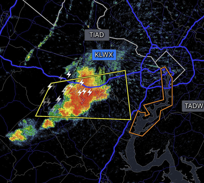
I’d like to see some more lightning on that area N of 66 -
2022 Mid-Atlantic Severe Wx Thread (General Discussion Etc)
MN Transplant replied to Kmlwx's topic in Mid Atlantic
-
2022 Mid-Atlantic Severe Wx Thread (General Discussion Etc)
MN Transplant replied to Kmlwx's topic in Mid Atlantic
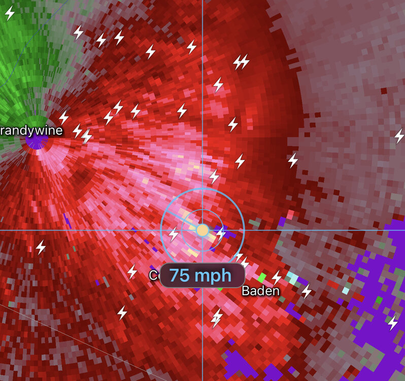
Best winds per TDCA headed to Woodbridge. -
2022 Mid-Atlantic Severe Wx Thread (General Discussion Etc)
MN Transplant replied to Kmlwx's topic in Mid Atlantic
The rumbling off in the distance is pretty continuous. -
2022 Mid-Atlantic Severe Wx Thread (General Discussion Etc)
MN Transplant replied to Kmlwx's topic in Mid Atlantic
-
2022 Mid-Atlantic Severe Wx Thread (General Discussion Etc)
MN Transplant replied to Kmlwx's topic in Mid Atlantic
I believe we all feel called out here. -
2022 Mid-Atlantic Severe Wx Thread (General Discussion Etc)
MN Transplant replied to Kmlwx's topic in Mid Atlantic
-
Basically a whiff here (0.01”), but the sky was fantastic tonight. Beautiful contrast between the sun and clouds.


