MN Transplant
-
Posts
17,845 -
Joined
-
Last visited
Content Type
Profiles
Blogs
Forums
American Weather
Media Demo
Store
Gallery
Everything posted by MN Transplant
-
1.05 precip. The winds mainly stayed off the surface, so nothing interesting there.
-
Most of the models put gusts into the mid-upper 30s across the 95 corridor, but the HRRR is in the 40s.
-
2022 Atlantic Hurricane Season Tracking Thread
MN Transplant replied to WxWatcher007's topic in Mid Atlantic
Yeah, good catch. More obvious now in the evening. -
https://twitter.com/ChadBlue83/status/1575235647316451328?s=20&t=uWRtn95ilk7sgn8YJIVXQw
-
Searching for Cape Coral news. Not a great time for this tweet.
-
If you believe the tags, Pelican Bay is about ~13 miles south of Fort Myers Beach. But, Twitter and all.
-
2022 Atlantic Hurricane Season Tracking Thread
MN Transplant replied to WxWatcher007's topic in Mid Atlantic
Still an accurate post 4 hours later. -
Sanibel and Fort Myers Beach were always in trouble. I’m more curious about what is happening behind the barrier islands. Especially in the very dense residential areas of Cape Coral.
-
Which one are you getting to load?
-
Winds are really whipping now. Impressed with the camera and connection.

-
There are still important data to collect for research purposes. As the models get finer and finer resolution, there needs to be observational checks on their output.
-
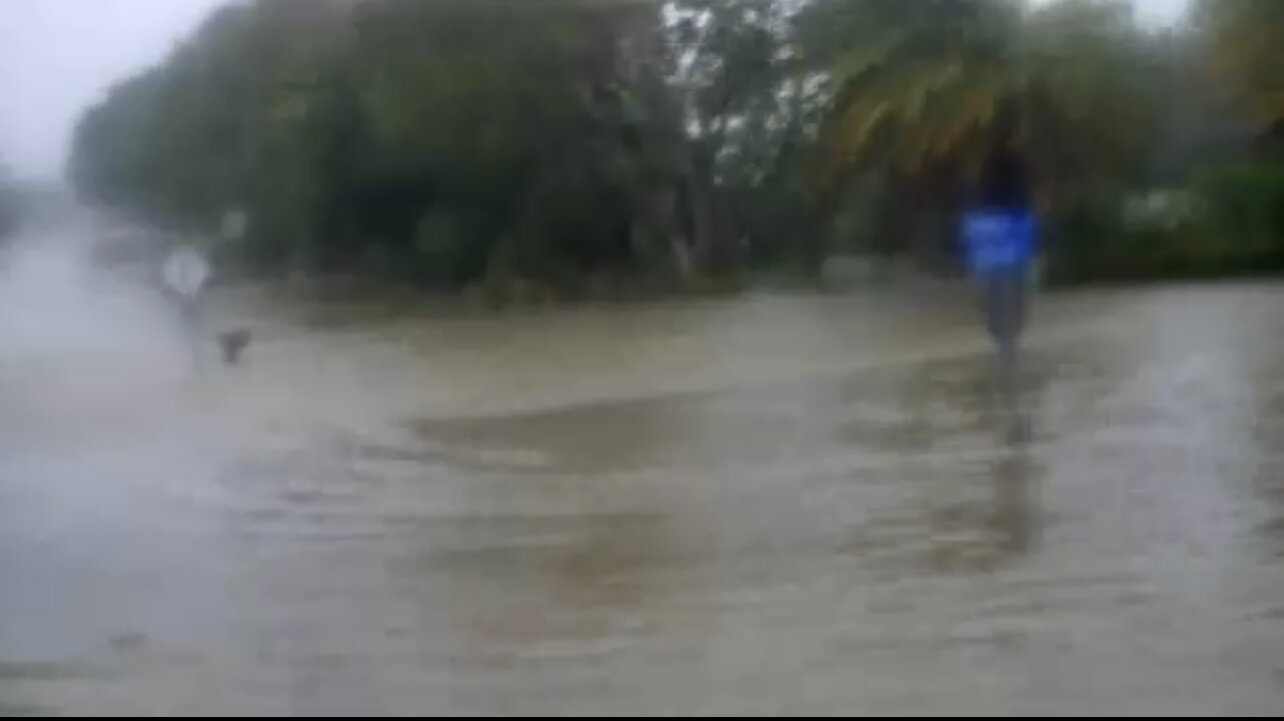
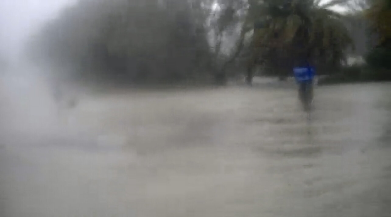
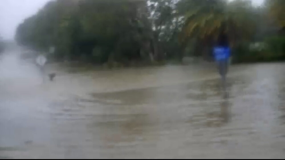
Stop sign tells the story
-
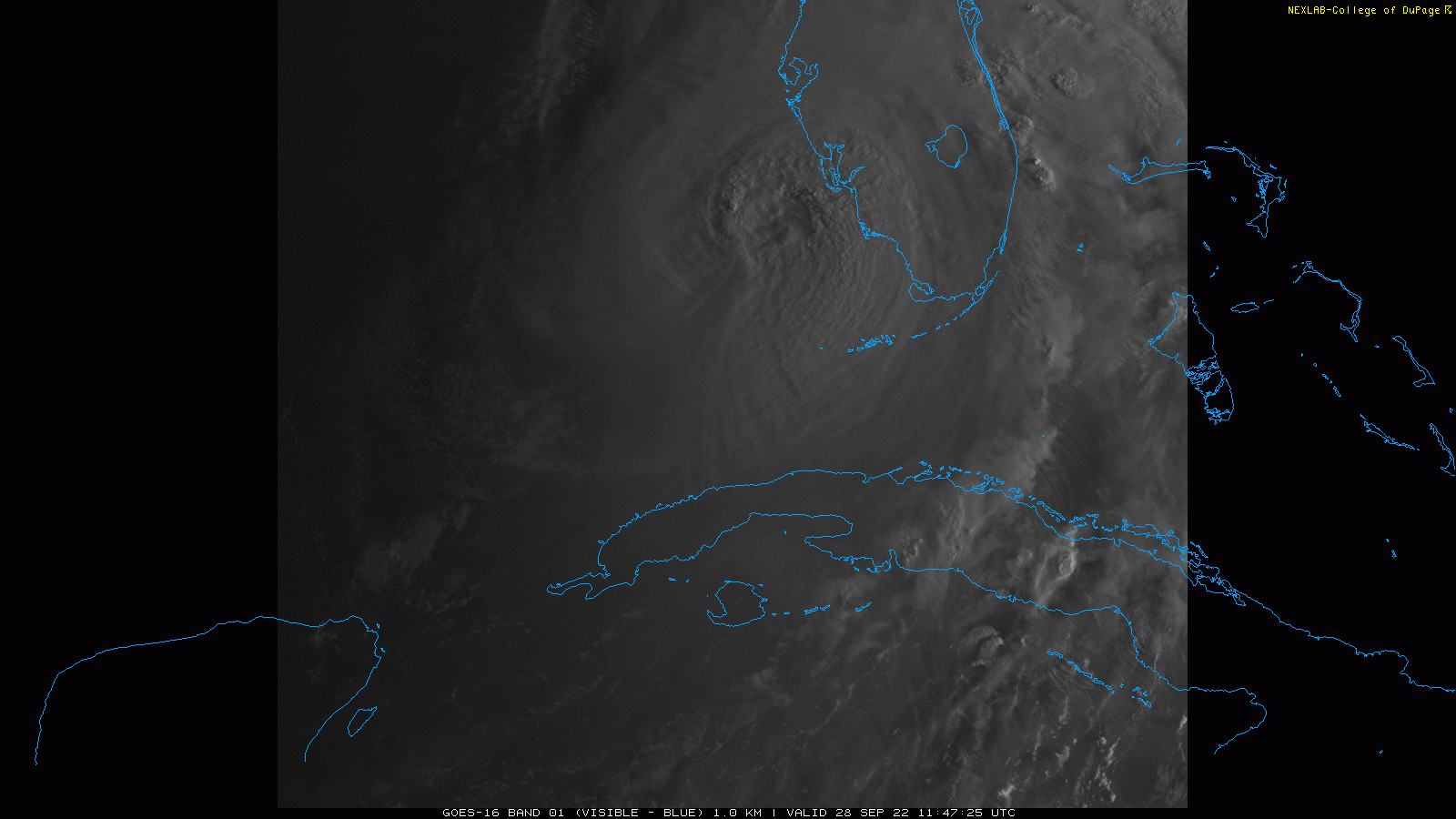
You and I had the same idea. Morning vis.
-
47.8. Full on Fall out there.
-
Summer max contest -- final results posted
MN Transplant replied to Roger Smith's topic in Mid Atlantic
It really isn’t as common of an occurrence as most think. 100s are still special. -
Cinnamon rolls > Cake
-
Just tell them to park the boat in the Villages. Those folks won't mind.
-
This is a stupid question, so it stays in banter. Would NHC call a landfall for an eye going over the Dry Tortugas?
-
I hate to make this point, but we seem to have already escaped the worst-case scenario. If Ian took the track into St. Pete/Clearwater, the surge up Tampa Bay would have been intense. With the storm slipping south, it'll be bad, but not top-tier.
-
Wondering how hardened the infrastructure is at Dry Tortugas NP. Fort Jefferson will be fine, but the boat landing, etc.
-
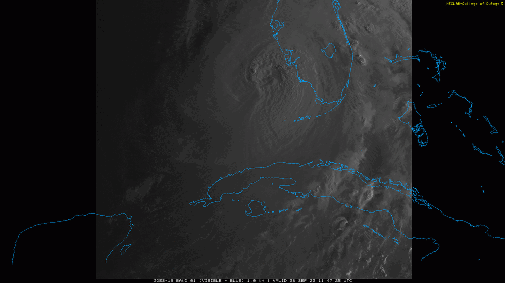
2022 Atlantic Hurricane Season Tracking Thread
MN Transplant replied to WxWatcher007's topic in Mid Atlantic
The 06z HWRF is clearly the worst case scenario with the water funneling up Tampa Bay. But it seems to be on the west side of guidance now. Anything that leaves Tampa on the north side of landfall (Sarasota, Venice) would avert a much larger disaster. -
2022 Atlantic Hurricane Season Tracking Thread
MN Transplant replied to WxWatcher007's topic in Mid Atlantic
7 days ago -
2022 Atlantic Hurricane Season Tracking Thread
MN Transplant replied to WxWatcher007's topic in Mid Atlantic
Not only the shear, but the dry air just surrounds Ian once it gets partway into the Gulf. -
There really hasn’t been any modeling that shows significant impacts up here.
-
2022 Atlantic Hurricane Season Tracking Thread
MN Transplant replied to WxWatcher007's topic in Mid Atlantic
Some of the worst damage video that I’ve seen on Twitter is actually surge-related up in Newfoundland.