MN Transplant
-
Posts
17,845 -
Joined
-
Last visited
Content Type
Profiles
Blogs
Forums
American Weather
Media Demo
Store
Gallery
Everything posted by MN Transplant
-
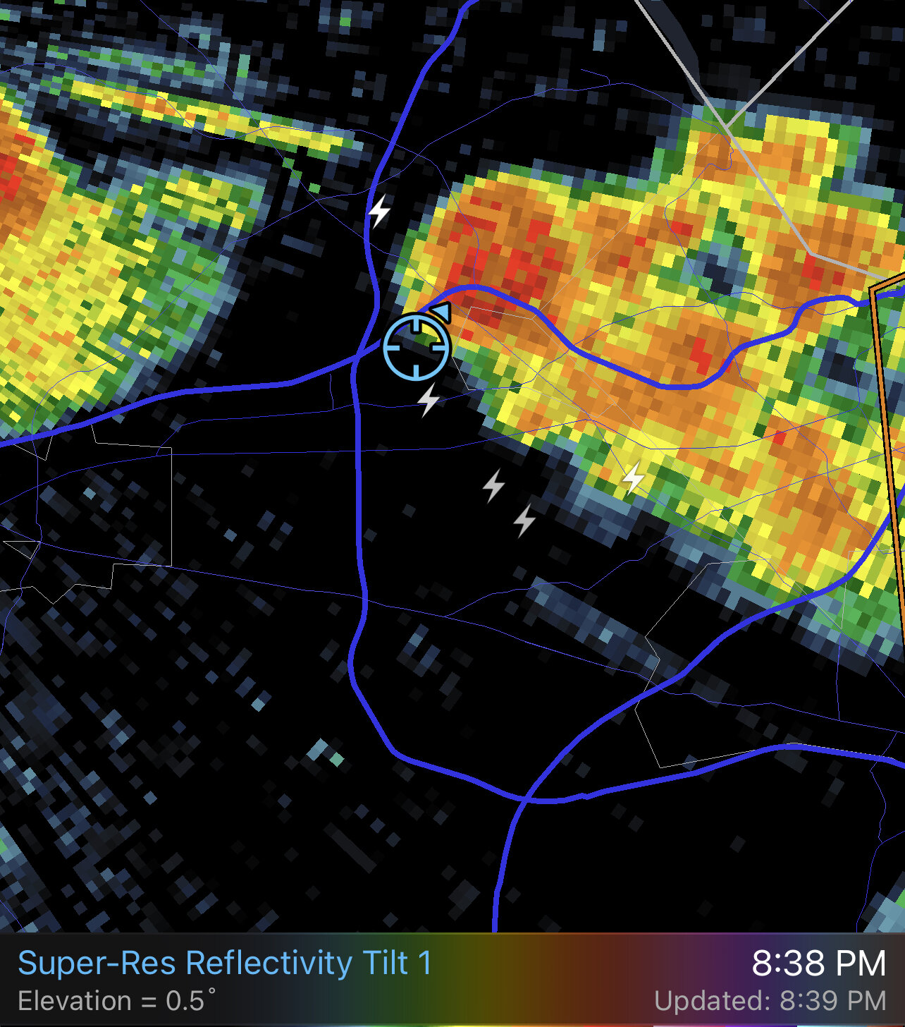
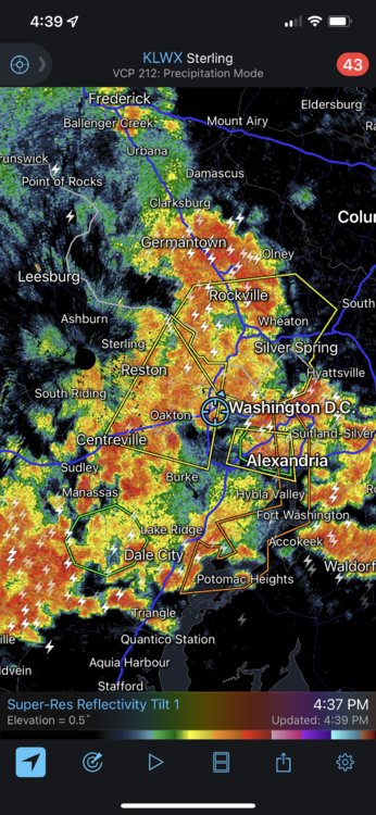
I’m not desperate for rain, but 0.30” from this radar 40 minutes ago feels like a minor letdown.
-
I think it is mainly going to follow the outflow boundary and weak westerly winds.
-
The outflow boundary from the western storms an hour ago is moving through and enhancing everything else. Pretty cool to watch.
-
And there went the power
-
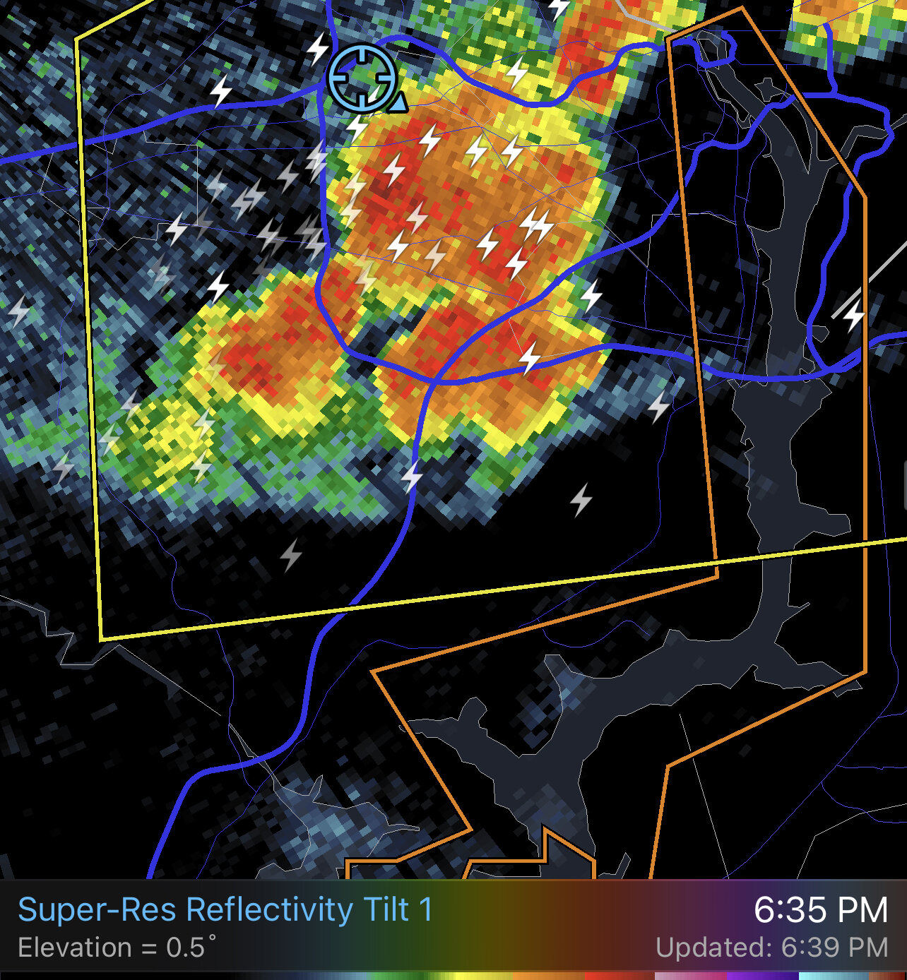
Really booming out there. The jump in lightning on the FFX cell was impressive.
-
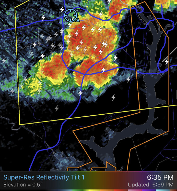
Very quick 1-1.5” by Fair Oaks
-
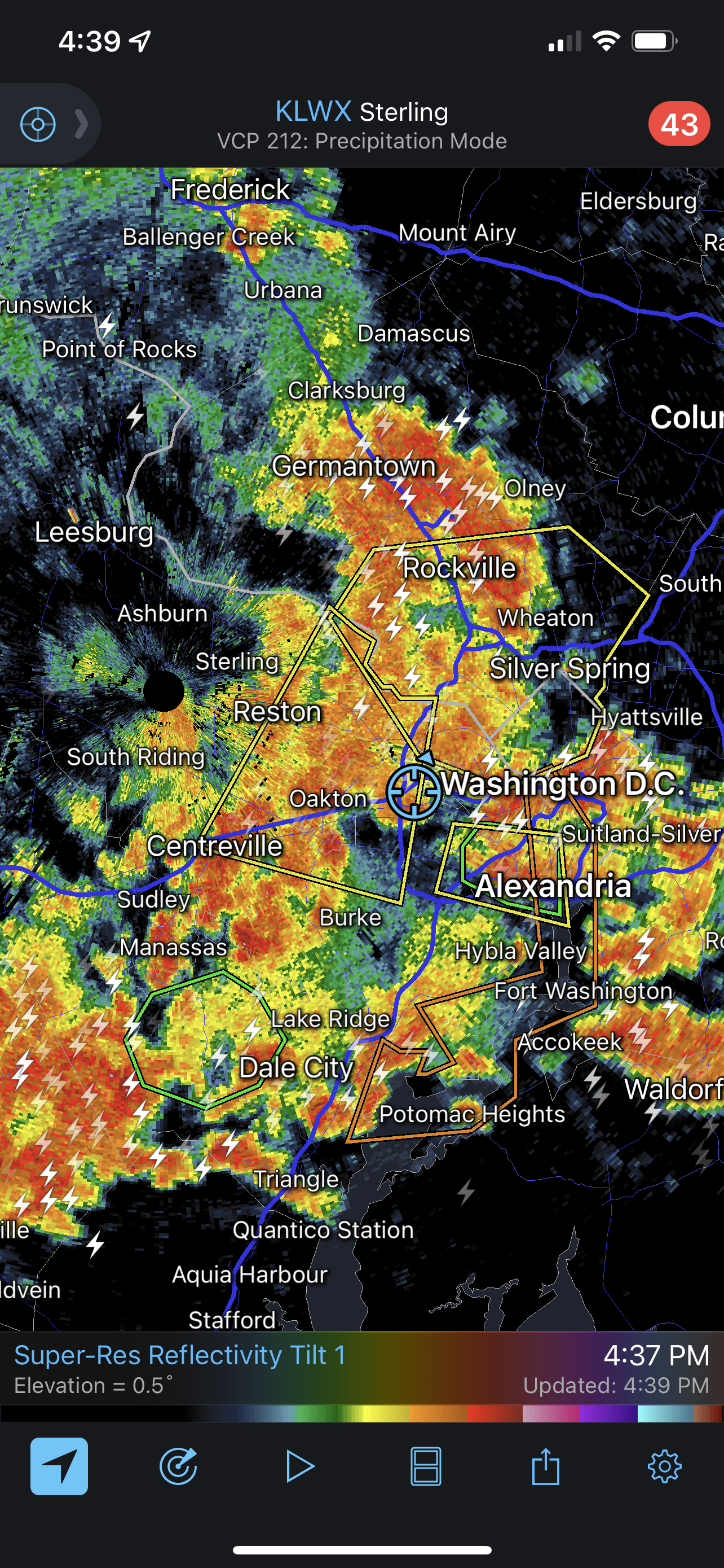
Severe warning for much of Fairfax Co. Transient downbursts. Starting to rain here. Not sure about the concrete trucks continuing to go to the new infill development around the corner.
-
Getting close, but you can’t ever trust these pulsing August storms to hold together from one mile to the next.
-
2022 Mid-Atlantic Severe Wx Thread (General Discussion Etc)
MN Transplant replied to Kmlwx's topic in Mid Atlantic
SPC has us marginal today for downdraft winds. Radar is starting to pop to the west. -
Today is the 7th 95+ at DCA. Since the move to the current river location, the long-term average is ~9, so we are probably ahead of pace by a bit, but it is going to start getting tougher to achieve climatologically after this nice cooldown. By all accounts, this is a very average summer. Plain, boring mid-Atlantic hot and humid. In the past 20 years, only 5 summers have had >10 days of 95+, but they were some all-timers. 2012: 29 2010: 27 2011: 24 2016: 23 2019: 15 By the way, 2003 and 2004 had no 95+ days.
-
DCA to 96. HI 105
-
96 BWI so far, 94 IAD/DCA. 94.8 at home, but now in and out of clouds halting the rise
-
Third time’s a charm. Now it is pouring.
-
I’m not dying for rain like others, but come on
-
Still firing off of boundaries. A cell going up just S of me where the other one was earlier.
-
95 DCA 97 IAD 99 BWI 96.3 high of the year at home
-
Evidently I need you to send it my way! It’s like I can reach out and touch it…
-
Just south of me. 0.01”. Thunder is loud though.
-
HI has been to 106 at IAD. That’s pretty damn unpleasant.
-
BWI 98 so far IAD 96 DCA 93
-
NAM and HRRR are struggling with the storms up in PA.
-
The hair flip is a nice touch. IAD/DCA hanging around 92-93. BWI in the 94-96 range.
-
Tarmac adds 2 degrees
-
Big range of temps for tomorrow. Per usual this summer the models have been hot trash on max temps, so 94ish seems most likely.