stormdragonwx
-
Posts
512 -
Joined
-
Last visited
Content Type
Profiles
Blogs
Forums
American Weather
Media Demo
Store
Gallery
Everything posted by stormdragonwx
-

MO/KS/AR/OK 2021-2022 Winter Discussion
stormdragonwx replied to JoMo's topic in Central/Western States
Got a dusting to an inch in spots over here in east Fayetteville. Its somewhat hard to say since snow is blowing around on the ground quite a bit. Still coming down as of this writing. -
MO/KS/AR/OK 2021-2022 Winter Discussion
stormdragonwx replied to JoMo's topic in Central/Western States
Wearing shorts and sandals on Christmas Day as I am right now is just wrong... yet here we are... -
MO/KS/AR/OK 2021-2022 Winter Discussion
stormdragonwx replied to JoMo's topic in Central/Western States
Yeah so far it's been depressing. -
Southern Plains Winter 2021-2022
stormdragonwx replied to Iceresistance's topic in Central/Western States
Yeah really disappointed in this winter so far. Up here in Fayetteville local TV mets are forecasting a high of 79 for Christmas being possible. Thats just wrong. I really hope things turn around in January and we finally get some winter storm systems but I think the same thing was said about December and we saw how that went. -
Eh lol it's all good. I'm over it. Some people simply lack reading comprehension and critical thinking. Not the first time I've seen it over there. I was just kinda surprised with the reactions considering recent events. I mean we did kinda have something historical.
-
MO/KS/AR/OK 2021-2022 Winter Discussion
stormdragonwx replied to JoMo's topic in Central/Western States
Yeah the winter outlook is looking pretty bleak to close out 2021. Winter? What winter? -
^That must be outdated. There was an EF1 confirmed in Branson West, MO.
-
Congrats on your no snow streak finally ending! That was totally crazy to be this late in the season.
-
I have apparently started up a sh*tstorm over on this site regarding the above statement. Gotta love the general public. These are probably the same people that throw fits over severe weather coverage breaking in on the TV. EDIT: lol They banned me so I couldn't respond after sending some personal insults my way. Apparently dissenting opinions are not allowed. https://themeparkreview.com/forum/topic/134-silver-dollar-city-sdc-discussion-thread/?do=findComment&comment=1907522
-
I am aware and not discounting those facts. I am just saying it could have been really bad for that area too. 20k people jam packed outdoors with little means to take shelter or evacuate in a timely manner would be devastating in its own right.
-
I made a similar post in the main Severe WX discussion thread in another part of the forum about last nights storms, but I figured I'd post here too as it is relevant to this regional discussion. NWS SGF did confirm an EF-1 tornado near Branson West, MO. Fortunately it dissipated before moving further east towards the Silver Dollar City Theme park. I can only imagine what kind of disaster that would have been if it had sustained itself and hit SDC with Christmas time crowds present as It was estimated there were roughly 20K people on site, even as an EF-1 tornado I could see it being a mass casualty event. These storms were moving between 40-60 MPH so there would be little time to react and evacuate the park with those crowd numbers. I really think theme parks and stadiums need to close and cancel events on days where there's severe weather in the forecast. (even if SDC/Branson was on the western fringe of the outlook area) https://mesonet.agron.iastate.edu/wx/afos/p.php?pil=PNSSGF&e=202112112042
-
I am growing more certain the tossed freight train (the individual cars average 200 tons) and the tossed and crumpled water tower with the weight of hundreds of thousands of gallons of water that even had its anchored concrete footers ripped up along with it will give a 5 rating. Also regarding the post about the confirmed Branson West, MO tornado, a big amusement/theme park called Silver Dollar City is literally right down the road from there. They had 20,000+ people on site for their Christmas event when this was going on. If that tornado had not dissipated and moved towards the park that could have been another mass casualty event right there even with the low EF scale rating. With the storm speeds averaging 40-60 mph there would be no time to evacuate the park with all those people jam packed out in the open.
-
Sorry guys, I jinxed it.
-
I think its fair to assume you guys are about to end your snow drought late next week.
-
MO/KS/AR/OK 2021-2022 Winter Discussion
stormdragonwx replied to JoMo's topic in Central/Western States
Welp while I'm still in the I'll believe it when I see it camp, both the GFS and Euro have been consistent on showing some kind of winter storm next weekend. Whats funny is its the Euro thats going crazy on the snow here.
-
MO/KS/AR/OK 2021-2022 Winter Discussion
stormdragonwx replied to JoMo's topic in Central/Western States
Yeah it says a lot when the Denver, CO area just set their all time latest snowfall record and longest no snow streak ever. (still ongoing as of this writing btw) -
Southern Plains Winter 2021-2022
stormdragonwx replied to Iceresistance's topic in Central/Western States
Be our luck it winds up being a crippling Ice Storm. -
Southern Plains Winter 2021-2022
stormdragonwx replied to Iceresistance's topic in Central/Western States
Tis the season for those fantasyland snowstorms. Granted I'm giving it a second look coming from the Euro.
-
Lol I have to work late Sunday night so expect a localized outbreak. (Murphys Law)
-
Southern Plains Winter 2021-2022
stormdragonwx replied to Iceresistance's topic in Central/Western States
I too am very interested in seeing how this winter will play out. I've noticed that active seasons seem to come in pairs. Take recent examples of 2002-2003/2003-2004 then 2009-2010/2010-2011. They usually run about a decade apart so we are due. -
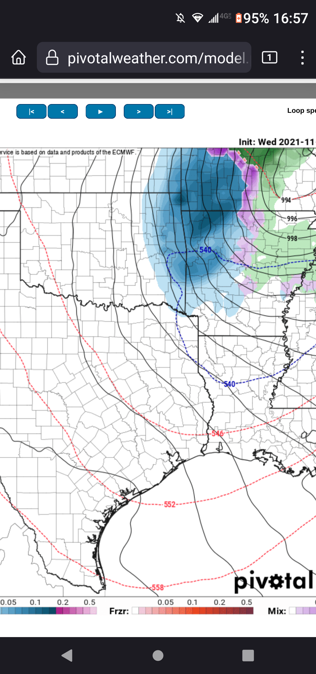
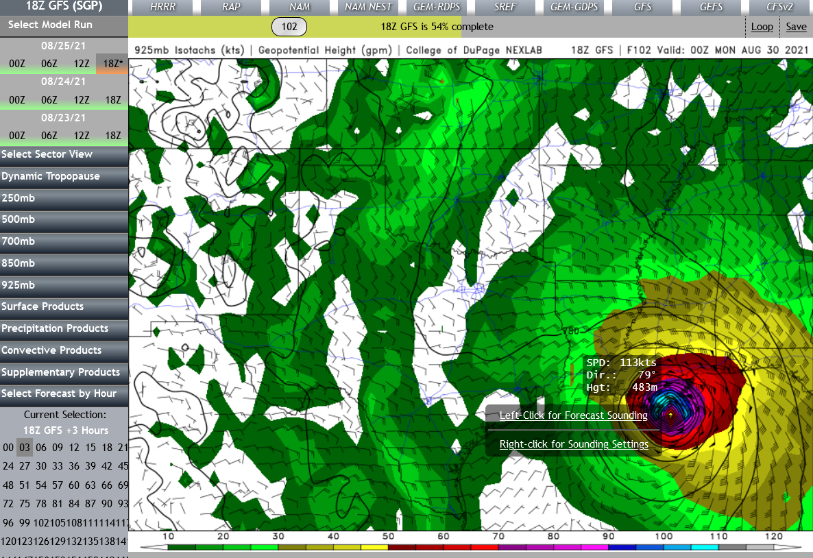
Latest GFS is showing a probable CAT3/4 taking an eerily similar track to Katrina smacking NOLA... however, obviously we should expect this to shift around for a couple more days in both track and intensity. Either way the gulf is bath water ATTM. I expect explosive organization and intensification in this storms development regardless of where it goes.

-
I follow Mike Collier on FB and he posted that this is the third slowest May for tornadoes in history for Oklahoma. https://www.facebook.com/MikeCollierWx/posts/329754805168463
-
Central/Western Medium-Long Range Discussion
stormdragonwx replied to andyhb's topic in Central/Western States
^lol maybe this means the summer death ridge will be delayed and us chasers will have more opportunities to get out this season. -
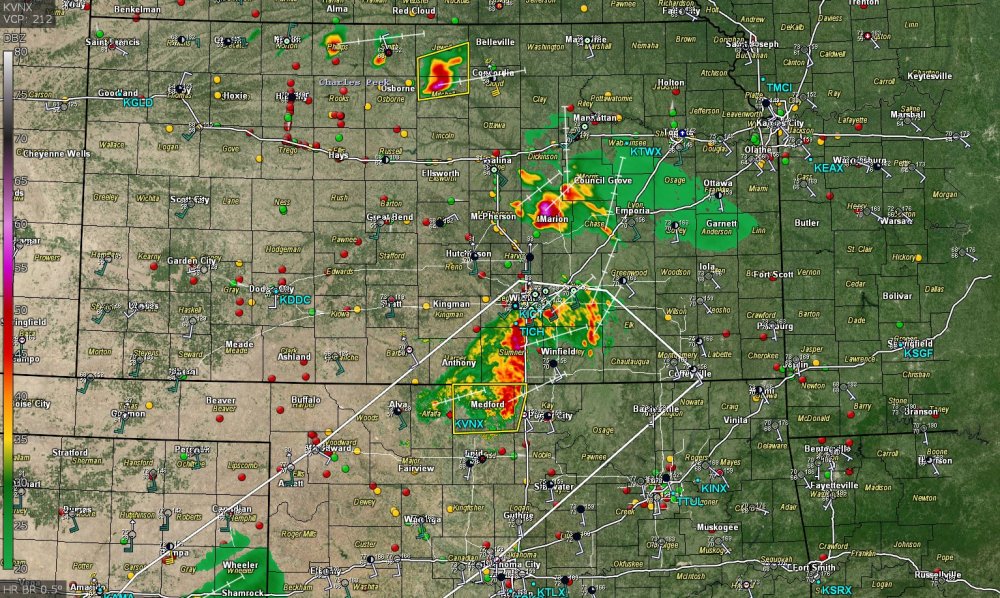
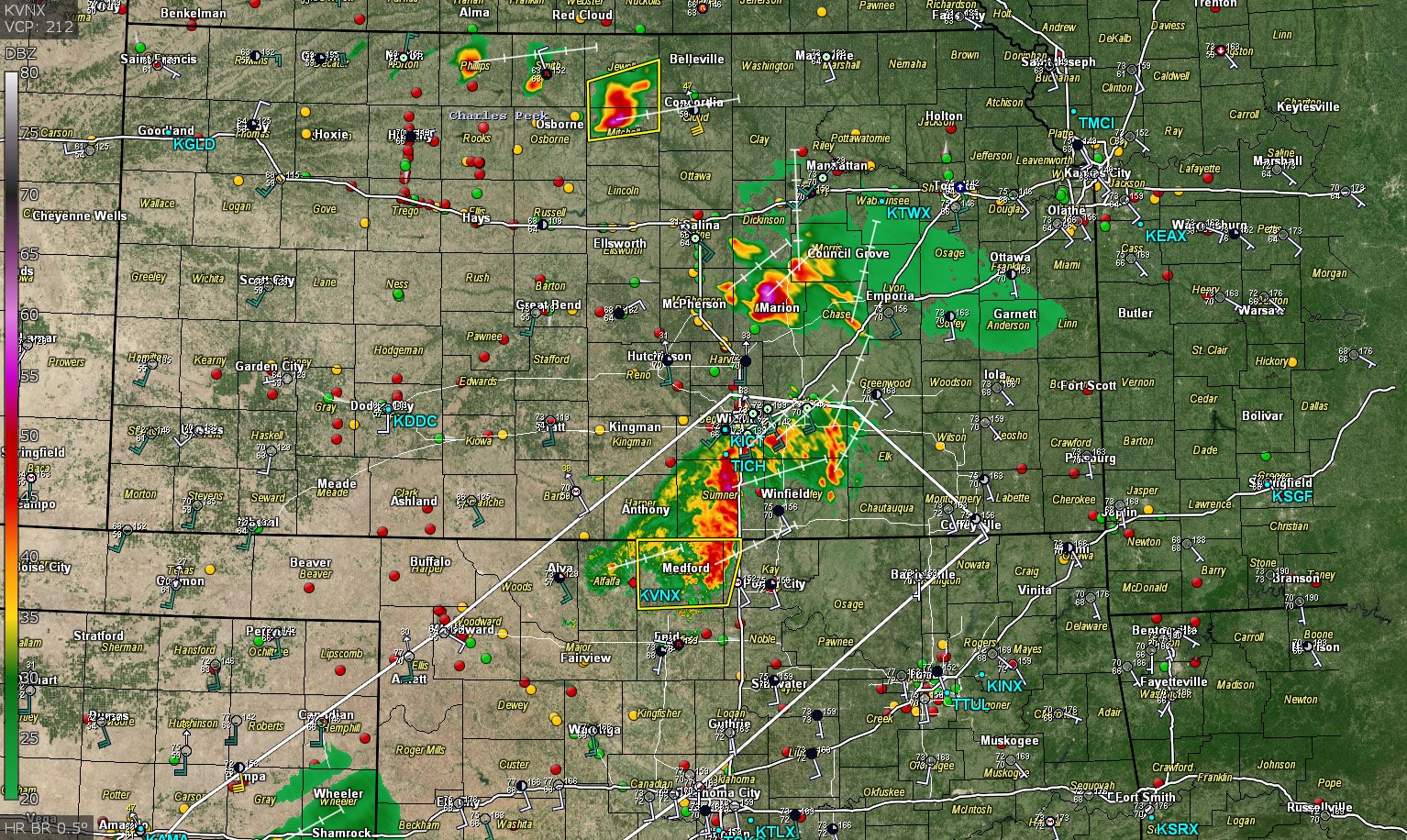
Severe Weather May 26th- 28th 2021
stormdragonwx replied to weatherextreme's topic in Central/Western States
These outflow boundaries might make things interesting later on.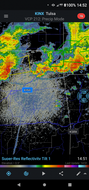
-
Severe Weather May 26th- 28th 2021
stormdragonwx replied to weatherextreme's topic in Central/Western States
Someone correct me if I'm wrong here but I don't trust the CAM's that have been showing a lot of convective overturning as I've been observing the storms out north and west on GR3 for the past few hours and they appear to be weakening and moving away from the risk area. If there's no redevelopment later tonight into the morning then this setup could be explosive tomorrow during peak daytime heating. With the atmosphere we got in place (70+ dews, plenty of shear, and 4k+ CAPE) If there's enough of a cap then I don't see how we couldn't have a couple tornadic supercells before the squall line develops.