ORH_wxman
-
Posts
93,110 -
Joined
-
Last visited
Content Type
Profiles
Blogs
Forums
American Weather
Media Demo
Store
Gallery
Everything posted by ORH_wxman
-
They are pretty closely correlated so it doesn’t matter that much which one you follow for climate purposes. For “in-season predictions” though, NSIDC area is a much better predictor of both final minimum extent and area when you are a few months out (June/July). That is why I use NSIDC area to make my minimum predictions at the end of June every year. I should mention that NSIDC area is different from other area metrics because NSIDC uses the SSMI/S satellite which gets fooled by melt ponding. So SSMI/S-derived area in June (when melt ponding tends to peak) is really a good proxy for melt ponds which is the true skilled in-season predictor of final minimum extent and area.
-
Area is more accurate if you want to know the precise value of surface that is covered with ice. Extent is better for things like shipping...if a region is covered with 40% ice concentration, you probably don't want to try going through it without an ice breaker. That region would be considered "covered in ice extent" even though there is open water mixed in. Area would give us a lower value because it's only 40% ice.
-
Yeah Nobscot Hill is over 600 feet. Most people prob dont think anywhere in Framingham gets that high, lol.
-
Is that taken from nobscot hill?
-
For sure. One of the reasons we go to western ME so much is it’s off the beaten path somewhat. We love that vibe more than the touristy feel. I do love North Conway’s views and they have a nice restaurant scene for when we want to do that kind of thing, but we don’t want a full week of it when vacationing. So we stay 30 minutes east. And yeah, Berlin could use your dollars any time, not just during covid, LOL.
-
Unfortunately without the good bourbon.
-
LOL...I remember seeing that movie in theaters as a teenager. Anyways, I’d go into Maine before VT if I was where phin is. That western part of Maine has a very northern NH vibe as it is.
-
Seems like there’s no enforcement. But they could always go the RI route and start pulling cars over....but they got a ton of backlash for that and eventually stopped, so it seems unlikely other areas will start doing it. But there’s a critical difference between winter and summer. Bigger chance of spreading in the winter when people are forced indoors more. Now you wouldn’t expect it at ski resorts too much as long as they are limiting lodge capacity, but we don’t know how other places will be affected. You get a couple stories of out-of-State skiers spreading the virus in a restaurant or something, all of the sudden you could see strict enforcement measures.
-
LOL I love the sun angle and warm ground myths.
-
There will be a bunch of local businesses crippled because of this. It's very sad. That's just going to be an economic reality of the covid protocols....a bit OT for this thread though. I do not think there needs to be a major limit on skiing though....this just doesn't spread well outside based on a huge sample size now, so I do not see the point. Nevermind when most people are actually wearing masks anyway in cold weather. I can understand limiting lodge capacity. Maybe they are scared of too many people trying to use bathrooms or something in the lodge, but I think if you communicate clearly in advance that lodge spacing will be limited, you don't need to start withholding day passes.
-
Hopefully that's what happens in the winter. I'm a worrier....but it sounds good based on what you say. My worry is that we see this surge early on, but it's a sh*t show with limits, prioitizing pass holders, etc..... and then you have some states still trying to tell people to quarantine....and then word spreads that it's not worth the trip and we see a big dropoff. Esp if the snow kind of sucks.
-
I'm pretty worried about the day skier volume for the mid-sized and smaller resorts. The big dogs owned by conglomerates will probably be fine, but if day pass sales are wayyyy down this winter, that could finish off some smaller places. I'm going to purposefully try and get to a few this winter for that reason.
-
Yeah a little tough when you got Madison/Adams towering in your backyard, LOL.
-
Jeez that’s not really gonna cut it for a chunk of SNE either. Most years go below zero once you’re just a bit off the water in MA and even a lot of CT/RI.
-
The ETA model was the predecessor to the NAM....they actually renamed it the NAM while it was still the ETA, but the NAM became based off of the WRF model when they discontinued the ETA in 2006-2007 season. The ETA could run hot and cold. Sometimes it just knocked events out of the park...12/9/05 was one. Jan 2005 blizzard too. However, it had some epic epic failures too including 12/30/00 and it was putrid in the Feb 2006 storm. But overall it was a solid model and it had some fairly consistent biases that you could play off of as a forecaster.
-
I flew into Montrose back in Jan 2016 when I did Telluride. Small airport but it was super easy getting your stuff and getting out of there. I remember one of the old posters on the now-defunct epicski forum had snowfall totals by year for each resort and there was surprisingly less reliance on El Niño in Telluride than I would have first thought. I expected it to be more like AZ Snowbowl or Taos. El Niño is def best there but they have gotten smoked in many La Ninas too...they got destroyed in ‘07-‘08 and did very well in ‘08-‘09 and ‘16-‘17.
-
I think we can still use past climate to determine how likely a future event is...especially if we have pretty good knowledge of how the ambient environment has changed. So for example, we know there has been a 7% increase in water vapor with about a 1C increase in temps, so we can adjust the precip accordingly. Ditto for things like a heat wave or cold wave. Now, obviously for really rare one-off events like the '38 hurricane, October 2011 snowstorm, etc....it becomes a little harder to quantify return frequencies in a current world vs the past. Even using 30 year snowfall averages....they do change, but it's remarkably consistent when you think about it. They might change by 20% at most for a place like BOS? And BOS aleady is a fairly "high-variance" snowfall location. Lowest I've seen BOS is like 40" and the highest is like 48" for a rolling 30 year avg.
-
It's exactly 250% if we use 44" as the baseline (though the '91-'20 mean might be closer to 46")
-
Well '17-'18 was pretty damned good. (96" at ORH and 60" at BOS)...and actually 2016-2017 was above avg too, just less so than 2017-2018. I think BOS was 50ish and ORH 80ish. No doubt the last two winters have sucked though for SNE...as well as the one immediately following '14-'15.
-
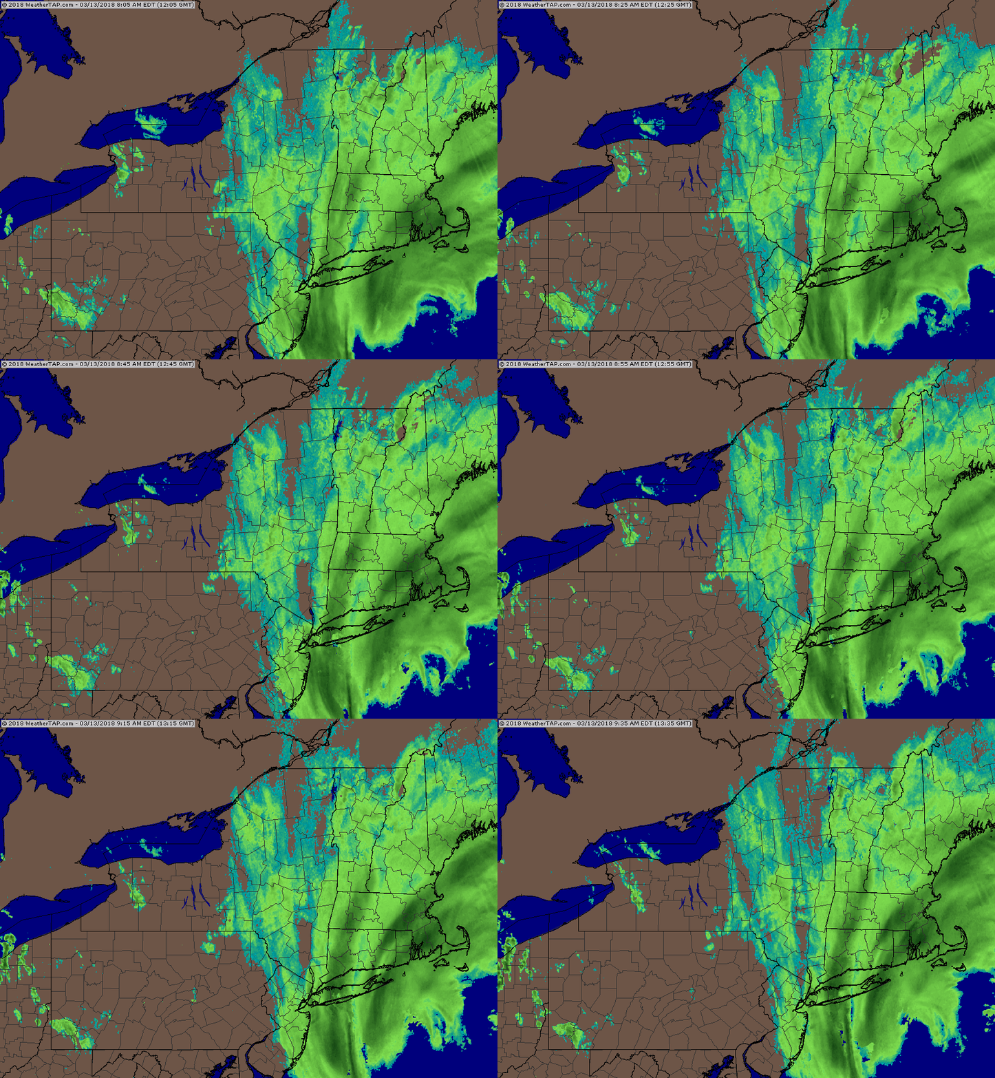
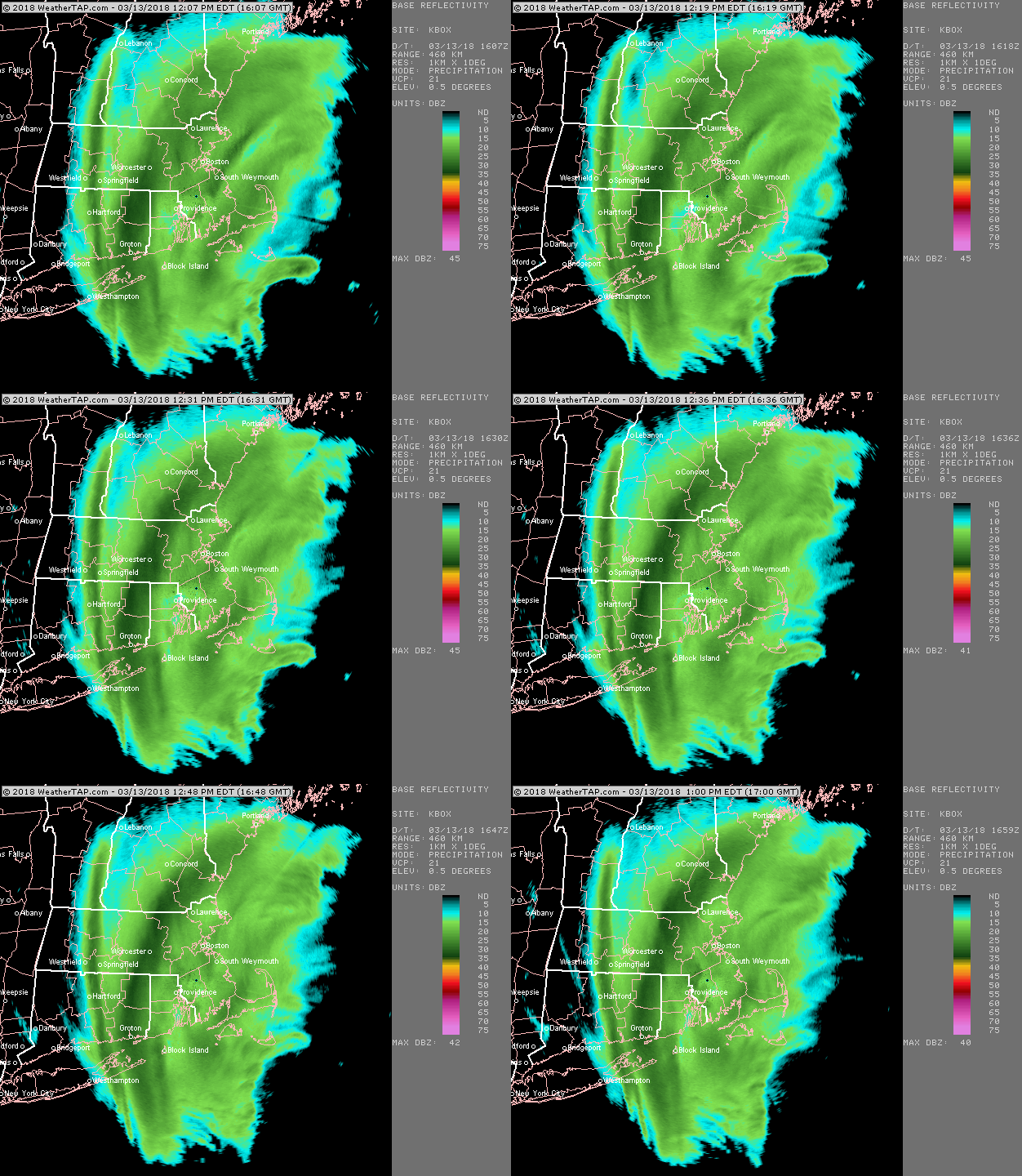
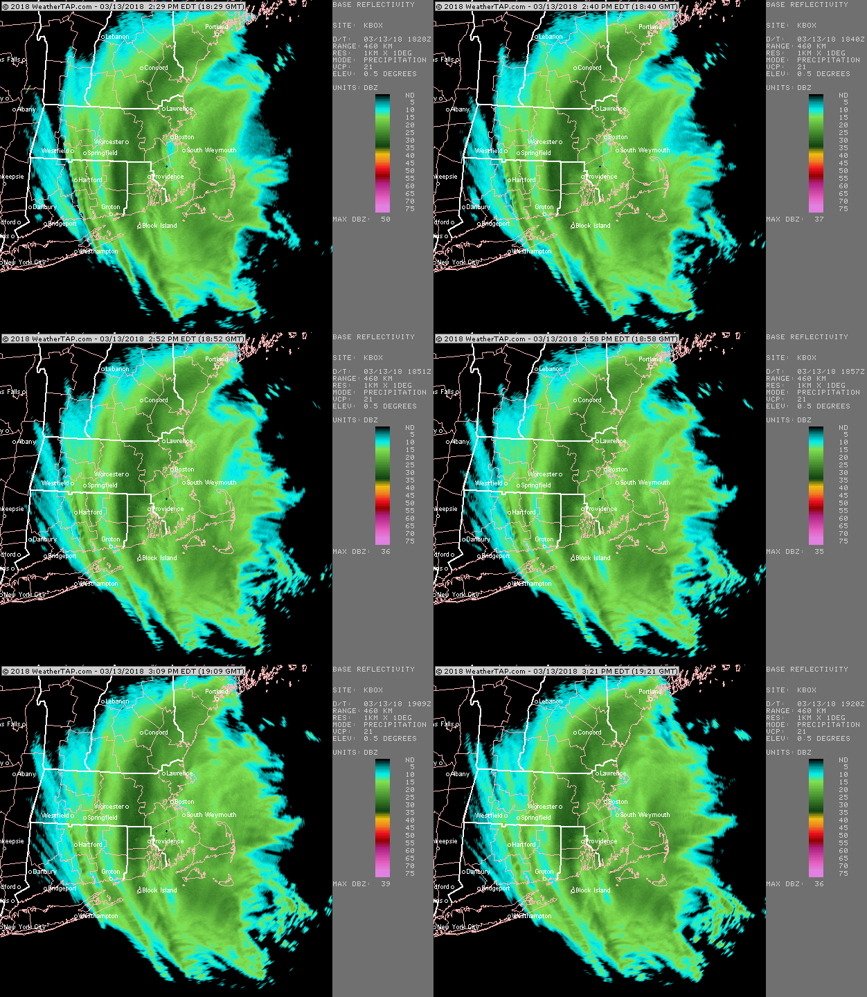
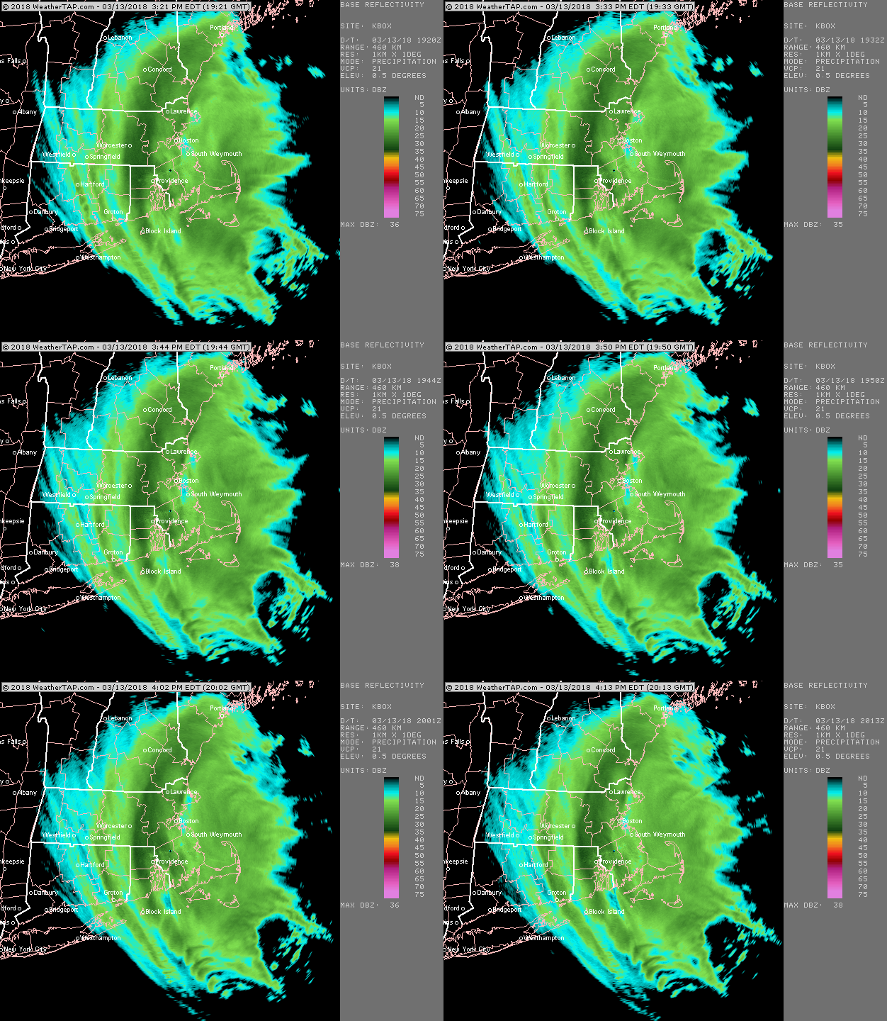
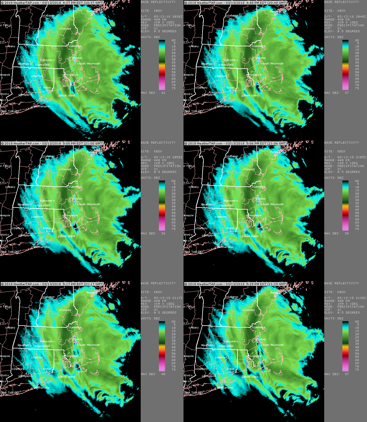
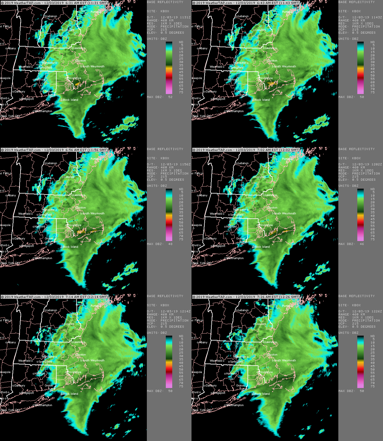
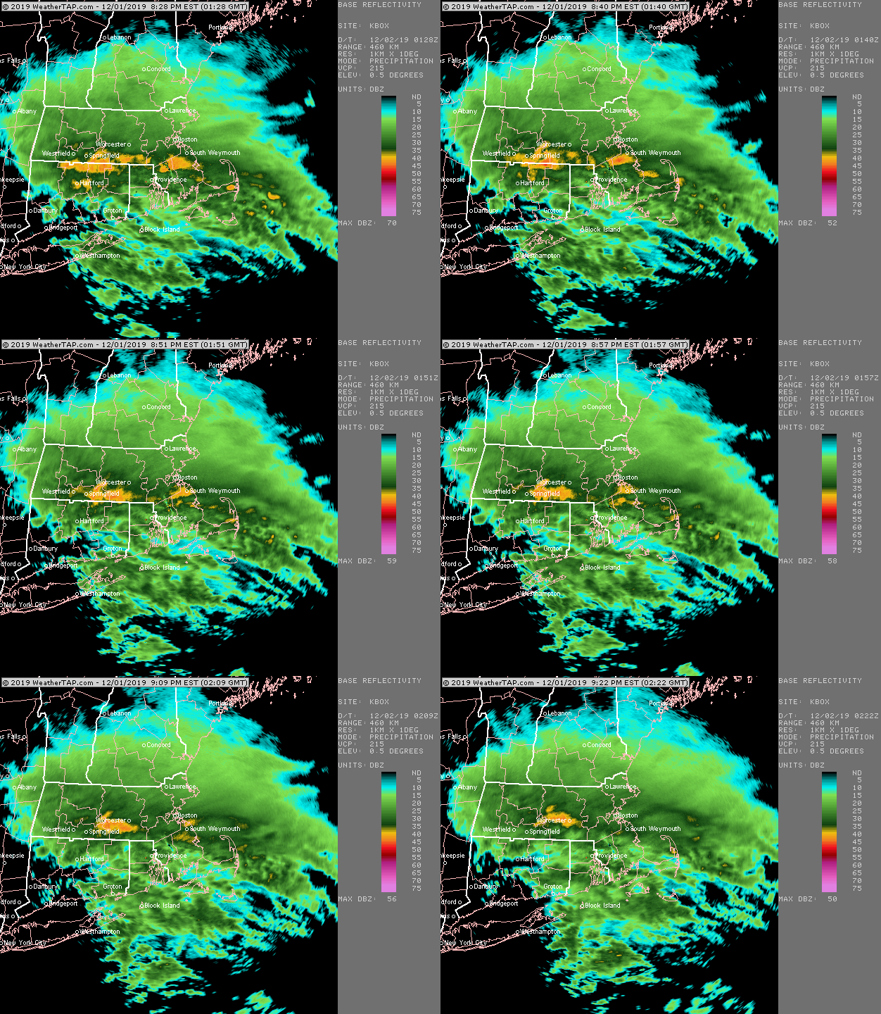
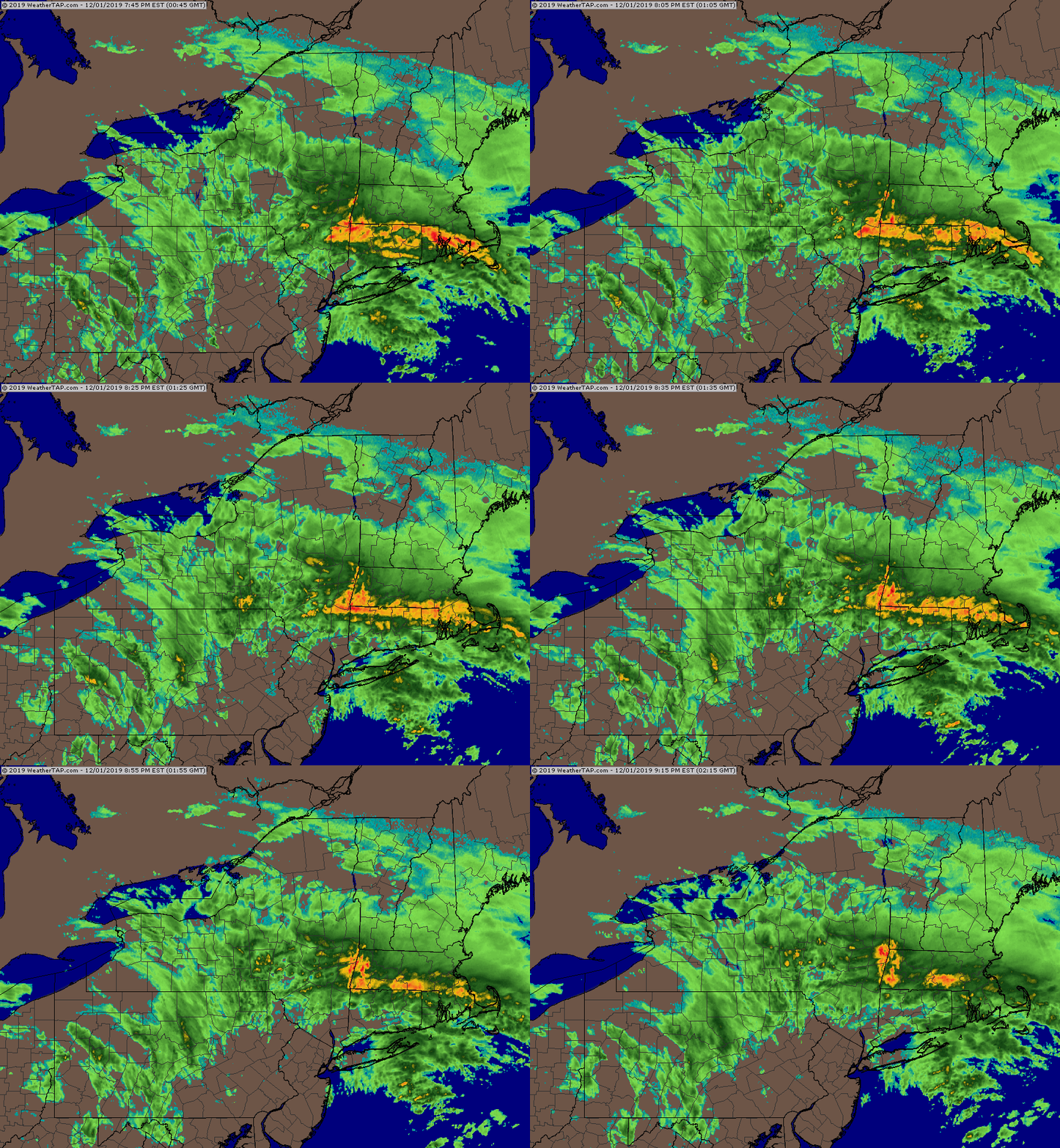
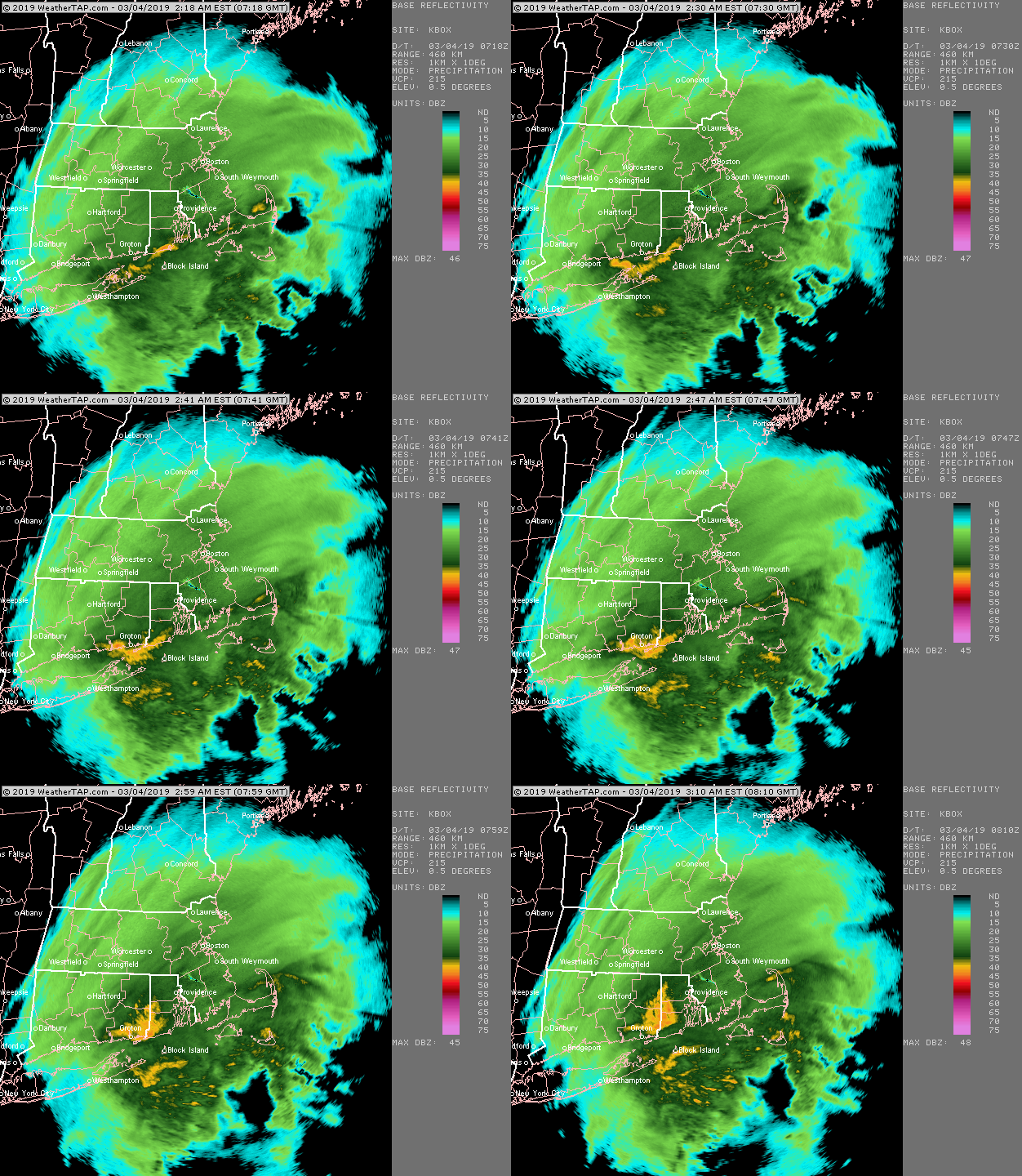
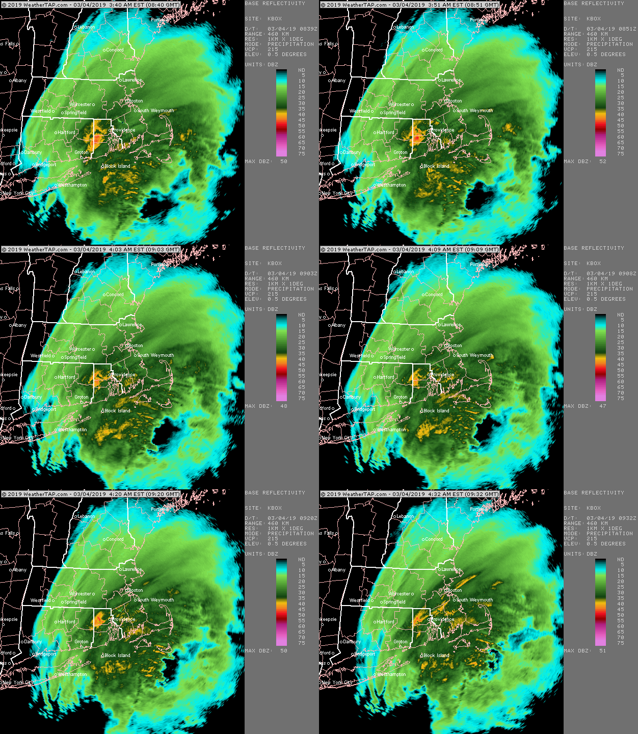
Yeah i was expecting I’d be done in round 1 with about 5” or so when we were a couple hours into it and then all hell broke loose and all of the sudden I have over 9” OTG and the dryslot is ripping in. I barely even ever had pingers. Maybe a couple at the very end and a little freezing drizzle overnight before I was back to flakes the next morning. The big rates are always fun. Especially when it busts a forecast in the positive direction. The radar loop is great because you can just see that WAA slamming into a brick wall over MA.
-
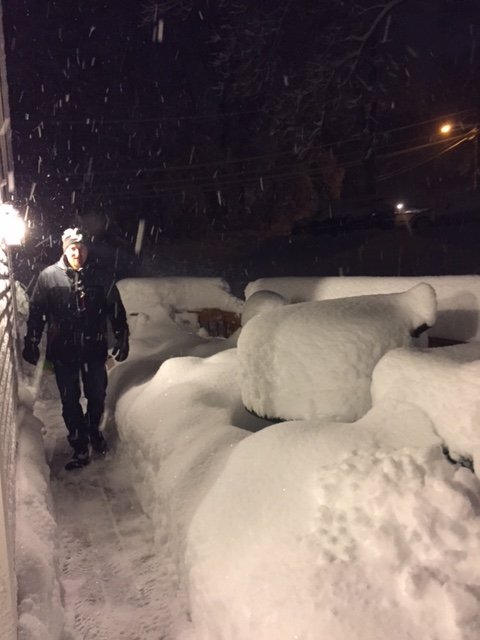
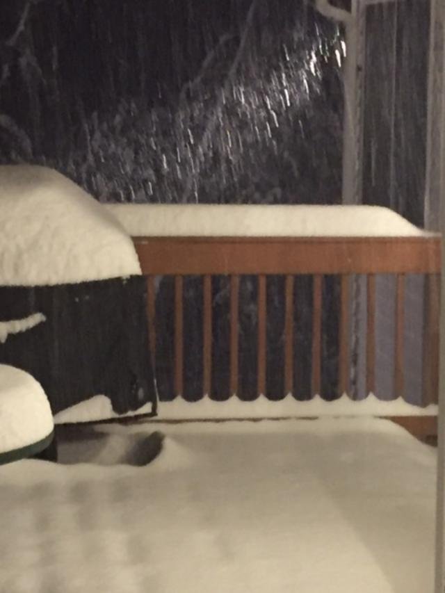
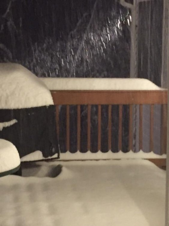
That front end thump basically maxed out over my head (you can see the first two radar loops above i posted, that was all snow here) I remember I kept updating it at the end when I was going at 4”/hr....I had like 2 or 3” and then all of the sudden near the end of that thump I had 9” two hours later, lol. Then i got like 1-2” the next day on intermittent easterly stuff and then the final 6” early on Dec 3rd. Here was a pic of the 4”/hr stuff...kind of hard to tell though because it was night time, but you can kind of tell it’s doing the “choking flakes” thing there. This is in the middle of it when we had about 5 or 6” while less than an hour earlier we had 2”.
-
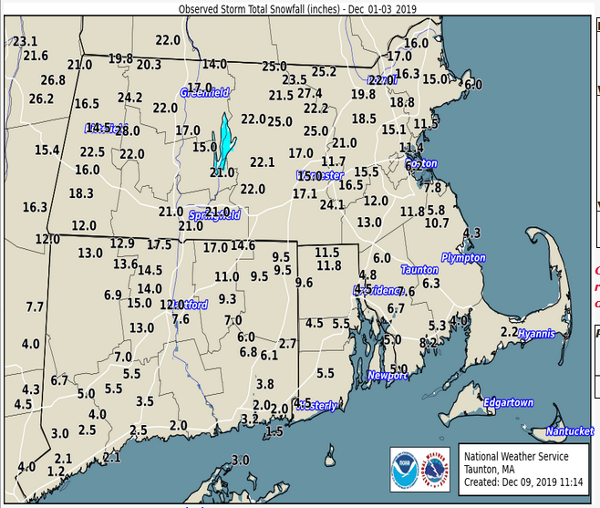
This was a pretty damned good storm for a large chunk of southern New England...admittedly it left your area out in S CT.
-
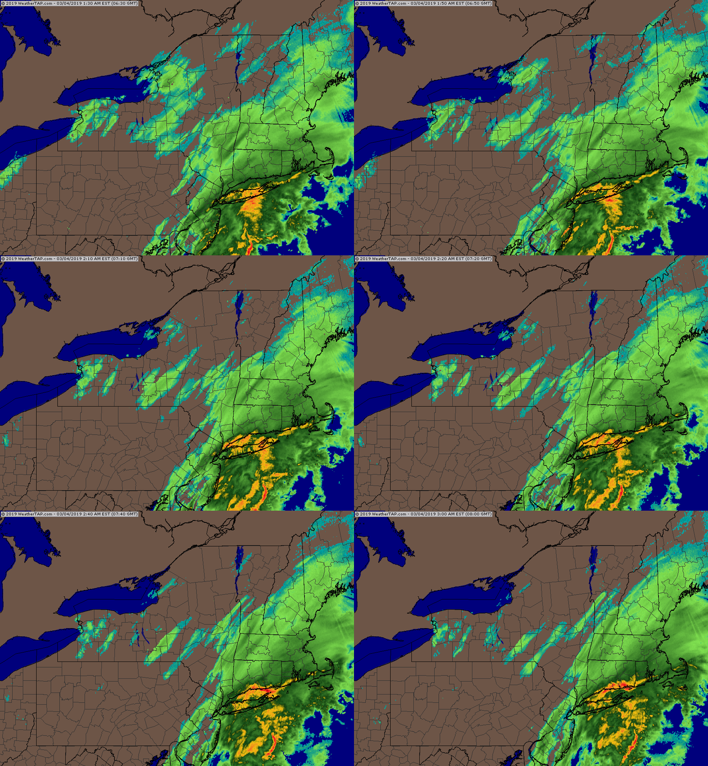
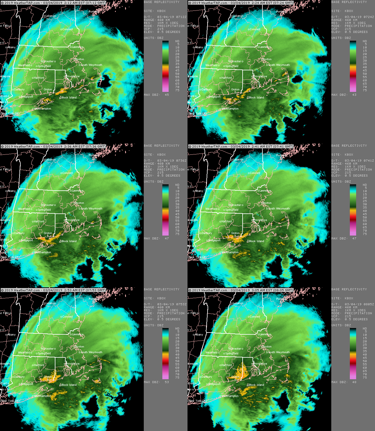
The "Scooter bitching his way to a jackpot" storm....he congrats powderfreak and dendrite in this one like 10 times leading up to it....LOL
-
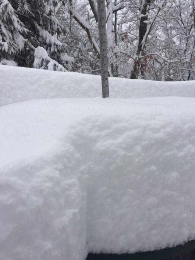
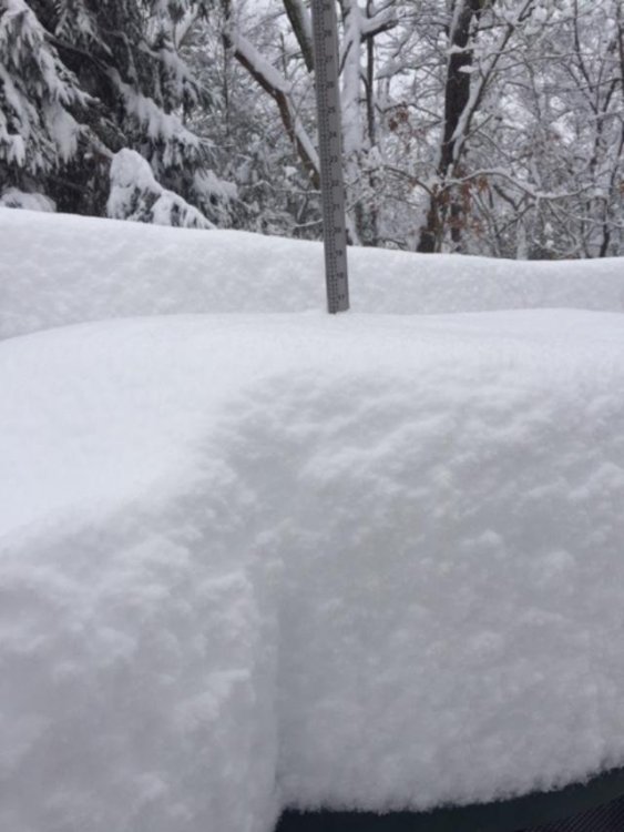
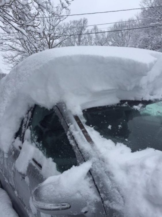
ORH barely missed their snowiest March on record and that was with 2 negative busts (Mar 1-2 underperformed on snow, and Mar 21 shat the bed to the south)....they prob get 50" that month if just one of those other storms pans out.
-
2nd one: