ORH_wxman
-
Posts
93,099 -
Joined
-
Last visited
Content Type
Profiles
Blogs
Forums
American Weather
Media Demo
Store
Gallery
Everything posted by ORH_wxman
-
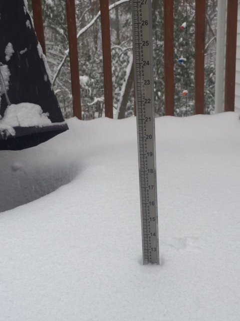
Slowly gained another inch since 7:30 so over 13" now....we caught the sucker hole the last couple hours, but not all of it...still getting consistent light snow. Hoping for the steadier stuff to roll back in and pick up another 1-2". Would be cool to get to 15"....my personal expectation was 10-12 so we've exceeded that already.
-
It's been really good on the cold side of the CF here....really good flakes.
-
This made me think....I just threw out the 2015 example to Luke on when things ended up a bit SE in a big coastal....but I remember the RGEM was a red flag in that it showed like 3 or 4 runs in a row of destroying ORH with the pivot instead of a bit further NW like a lot of other guidance and usually the RGEM is zonked.
-
I've seen them SE...it happened in Jan 2015 (even when you discount the Euro in that one). But yeah, they do often seem to sneak further NW than consensus guidance.
-
Lol, you're gonna end up with 30+ after nearly throwing in the towel. That is a fricken' sweet band. Congrats.
-
A bit over a foot in Holliston when I measured 20 min ago
-
BOS getting crushed now
-
Destroyed
-
Dude went to bed and he's getting firehosed right now
-
You can tell this is lower level because the OKX and BOX radars are having trouble seeing all the snow more than about 50 miles out except when they are looking at the ML goodies well northwest...CT looks choppier on BOX than it does on OKX and vice-versa for E MA
-
Pretty cool radar over OKX right now showing that lower level stuff regenerating
-
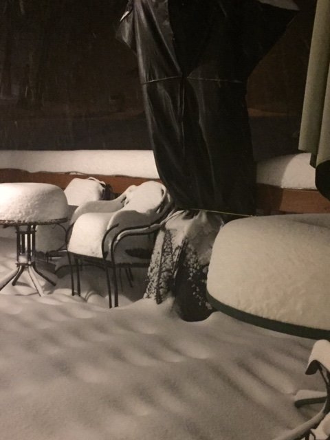
Haven’t measured yet but eyeballing deck it has to already be a foot-plus
-
Rap hits you up good for another 6 or so after 12z (7am)....the NAM was more like 3-4”. Radar looks pretty damned good though. This stuff is just pouring in from the SSE
-
Choking dendrites in this stuff right now.
-
Wow just looked outside and we’re getting hammered. This stuff on the west side of the CF is sick
-
Ha, just you’re mundane 0.40 in the can in one hour
-
There will be some 30 burgers in that band. Reminds me a little of the Xmas ‘02 band out that way west of ALB
-
This is near 3” per hour stuff right now in this band. Just CHOKING flakes. Vis is maybe 300 yards Edit: just saw Fozz’s comment...matches my estimate
-
Man this is a sick WCB. You can see the regeneration down south of block island too.
-
One of the more impressive WCBs ongoing right now.
-
Yeah that band is going right over you now
-
I lost it in Holliston on Saturday. Winter hill kept some cover but grass was showing up in some sun torched spots...pretty sure kevin lost all of his too.
-
Did Kevin go to sleep already? Thats gotta be 2” per hour at least going through his hood