-
Posts
187 -
Joined
-
Last visited
Content Type
Profiles
Blogs
Forums
American Weather
Media Demo
Store
Gallery
Everything posted by VOLtage
-
Here you go https://abc3340.com/watch
-
-
Looks like the storm is beginning to tighten up again. This is not good. It's heading into a heavily populated area.
-
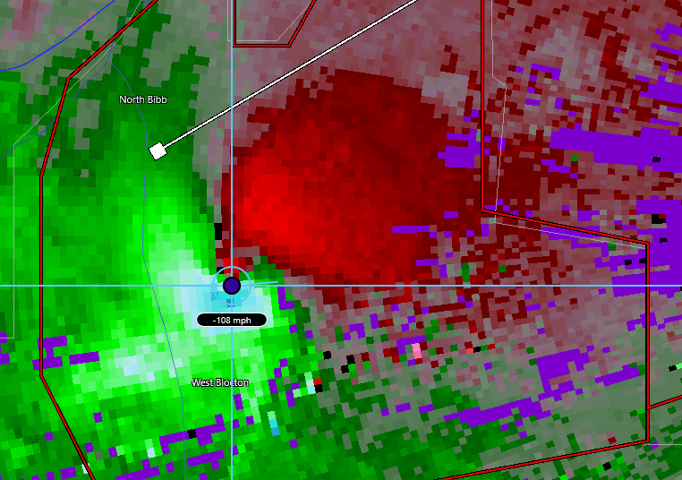
What a monster
-
https://mobile.twitter.com/WBIRWeather/status/1375124855142629376?ref_src=twsrc^tfw|twcamp^tweetembed|twterm^1375124855142629376|twgr^|twcon^s1_&ref_url=
- 164 replies
-
- tennesse
- mississippi
-
(and 6 more)
Tagged with:
-
That... would be catastrophic to say the least.
- 164 replies
-
- tennesse
- mississippi
-
(and 6 more)
Tagged with:
-
I’m wondering, if the current trends hold, more of East Tennessee could end up in an enhanced risk.
- 164 replies
-
- tennesse
- mississippi
-
(and 6 more)
Tagged with:
-
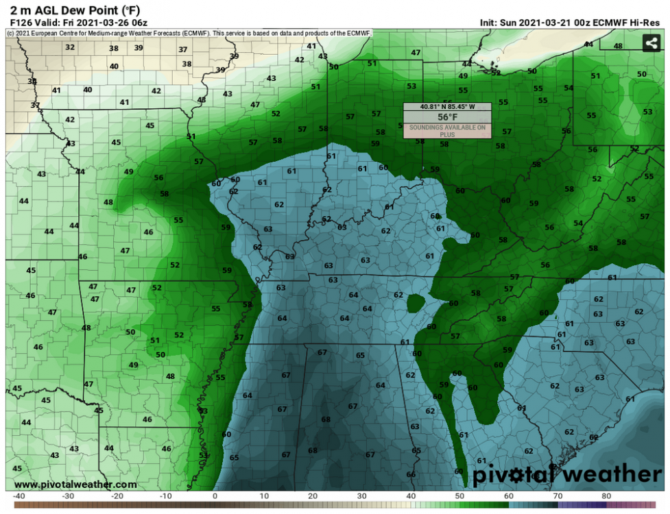
I know it's impossible to predict this far in advance, but the European model is showing a pretty decent northward extent of the warm sector
-
New tornado warning near Brookhaven,MS.
-
Keeping an eye on the cells near Columbia and Prentiss Mississippi.
-
Cells Near Birmingham are looking pretty healthy.
-
SPC saying they may upgrade to a high risk for the Day 1 outlook late tonight. Hope everyone in the path of this system stays safe!
-
From the MRX AFD: https://forecast.weather.gov/product.php?site=MRX&issuedby=MRX&product=AFD&format=CI&version=1&glossary=1 Better environment for strong to severe thunderstorms will come overnight Wednesday night as the low moves through the Ohio River Valley forcing through a line of thunderstorms along the front. Forecast soundings across southeast Tennessee (mostly near Chattanooga) indicate that CAPE increases to 1000-1500 J/kg. At the same time as the low gets nearer to the area the low level jet really begins to ramp up and a strong southerly jet streak of over 50 knots intensifies over the area. This is reflected in forecast soundings indicating low level shear of over 25 knots and deep layer shear over 50 knots. During the day/evening on Wednesday expect the strongest storms to form over MS/AL and we`ll need to keep an eye on them as they move northeastward towards the forecast area as these are the storms that will have the opportunity to tap into the favorable environment. One of the biggest determining factors will be the location of the warm front as storms move northeastward as this will likely have the best chance to focus thunderstorms and produce the most damaging severe storms, including the possibility of some tornadoes. Storms that form away from front will still have the threat to produce severe weather with straight line winds and possibly hail being the biggest threat. In the eastern Tennessee Valley it`s likely going to be a night time event and with this being the first possibility of severe weather this season a good time to prepare your severe weather safety plan for the rest of the season. Storms will continue to move northeastward through the remainder of the evening, but as they do they`ll be fighting against night time stability and a generally unfavorable environment, especially north of Interstate 40. Expect strong storms to redevelop with this system on Thursday, but by that time the low will have moved far enough east that the threat for severe storms should be east of the Appalachian Mountains. On Thursday expect the upper level portion of the low to move right over the area a bring continued chances for showers (and maybe a few rumbles of thunder) to the area with the best chances for rain occurring in northeast Tennessee and southwest Virginia closer to the better mid-level support. At the same time surface flow begins to turn more northerly and surface temperatures will drop as the systems exit the area. Daytime highs on Friday will drop about 10-15 degrees compared to Thursday and this spat of cooler weather will continue thorugh the weekend. Some of the deterministic models continue to try and spit out light QPF at the end of the work week and on Saturday, but still think they may be a bit overdone, but will continue with low end chances as they`re picking up on some weak lift over the area. Ridging will begin building at the end of the weekend into next week and dry weather with warm temperatures will be the trend to end the 7-day forecast.
-
Getting a mix of sleet and snow here. Temp 35 F
-
I'm down to 38F/DP 28.0 here in Maryville with temps falling.
-
Looking like yet another cold rain event for the valley. Ughhh. I'm ready for sunshine, spring, and severe weather season already. Hoping for better luck next winter.
-
Not from the Tennessee Valley, but still pretty interesting weather phenomenon
-
MRX is being pretty bold with the Advisories this go around.
-

Christmas Eve/Christmas 2020 Arctic Express Snow Obs.
VOLtage replied to John1122's topic in Tennessee Valley
Hoping that we can in on some of the snow squall action here in Maryville! -

Christmas Eve/Christmas 2020 Arctic Express Snow Obs.
VOLtage replied to John1122's topic in Tennessee Valley
Absolutely ecstatic with how this system turned out, and it ain't even over yet! -

Christmas Eve/Christmas 2020 Arctic Express Snow Obs.
VOLtage replied to John1122's topic in Tennessee Valley
Heavy snow here. Yard is pretty much completely white and just beginning to stick on the roads in my neighborhood. -

Christmas Eve/Christmas 2020 Arctic Express Snow Obs.
VOLtage replied to John1122's topic in Tennessee Valley
Steady dimes coming down now


