tiger_deF
-
Posts
615 -
Joined
-
Last visited
Content Type
Profiles
Blogs
Forums
American Weather
Media Demo
Store
Gallery
Everything posted by tiger_deF
-
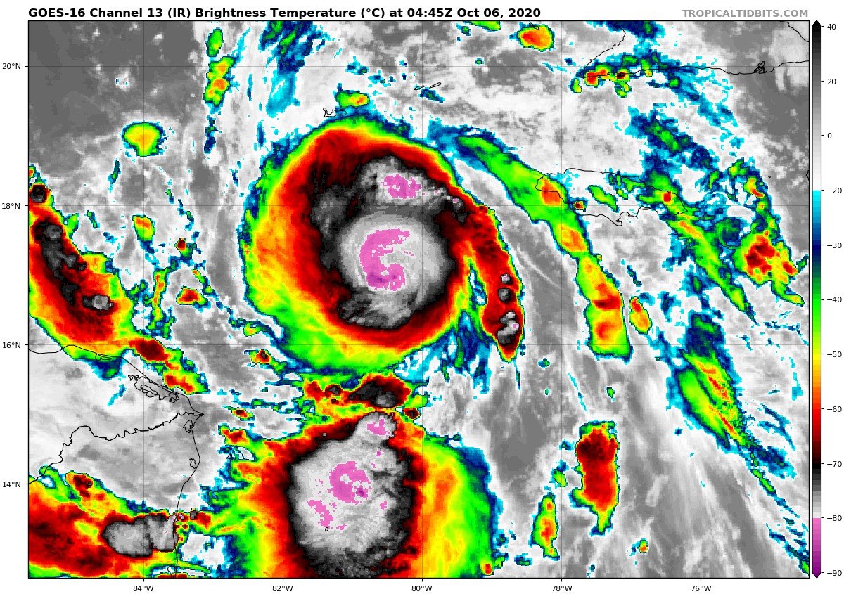
Recon is picking up hurricane level FL winds nearly a full 2 degrees away from the center
-
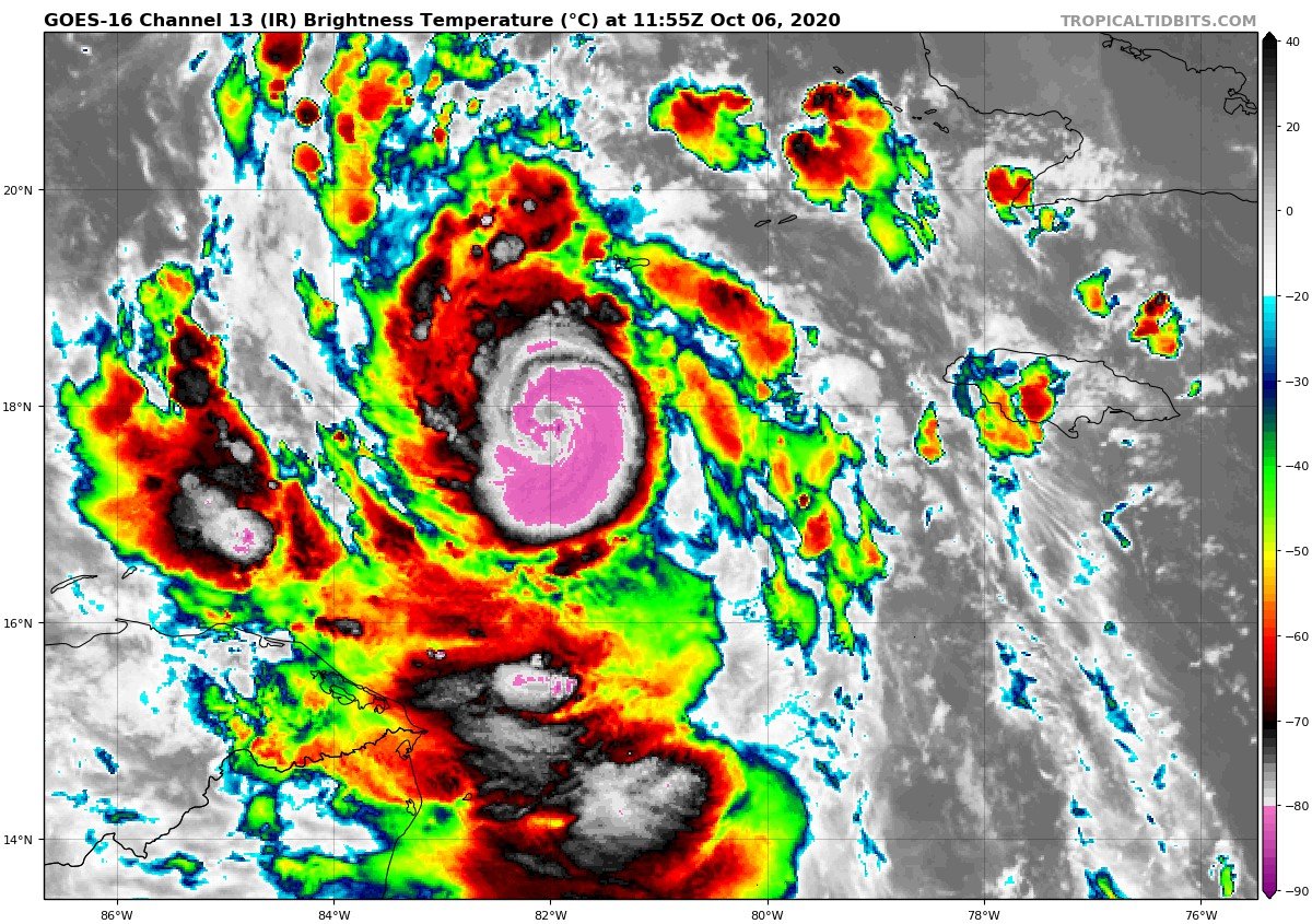
Eye is torching right now, I think it could clear in the next hour
-
-
Frankly I think that's because hurricanes are pretty complex, and for someone who isn't a weather tracker the nuances of certain aspects of hurricanes are a little much to expect someone to know, especially with the compounding crises already at play this year. The NHC has been doing a good job of distilling the main threats though
-
Laura didn't necessarily bust surgewise, but I think that Delta's surge could be significantly higher and over a pretty broad swath of the gulf if the HWRF is to be believed
-
Raw ADT of 7.3
-
Wednesday, October 7, 2020 Convective Potential
tiger_deF replied to weatherwiz's topic in New England
Boston is getting hammered right now -
Wednesday, October 7, 2020 Convective Potential
tiger_deF replied to weatherwiz's topic in New England
In Boston right now and the sky hasn't looked this dark in a long time -
Thank you for your sacrifice
-

-
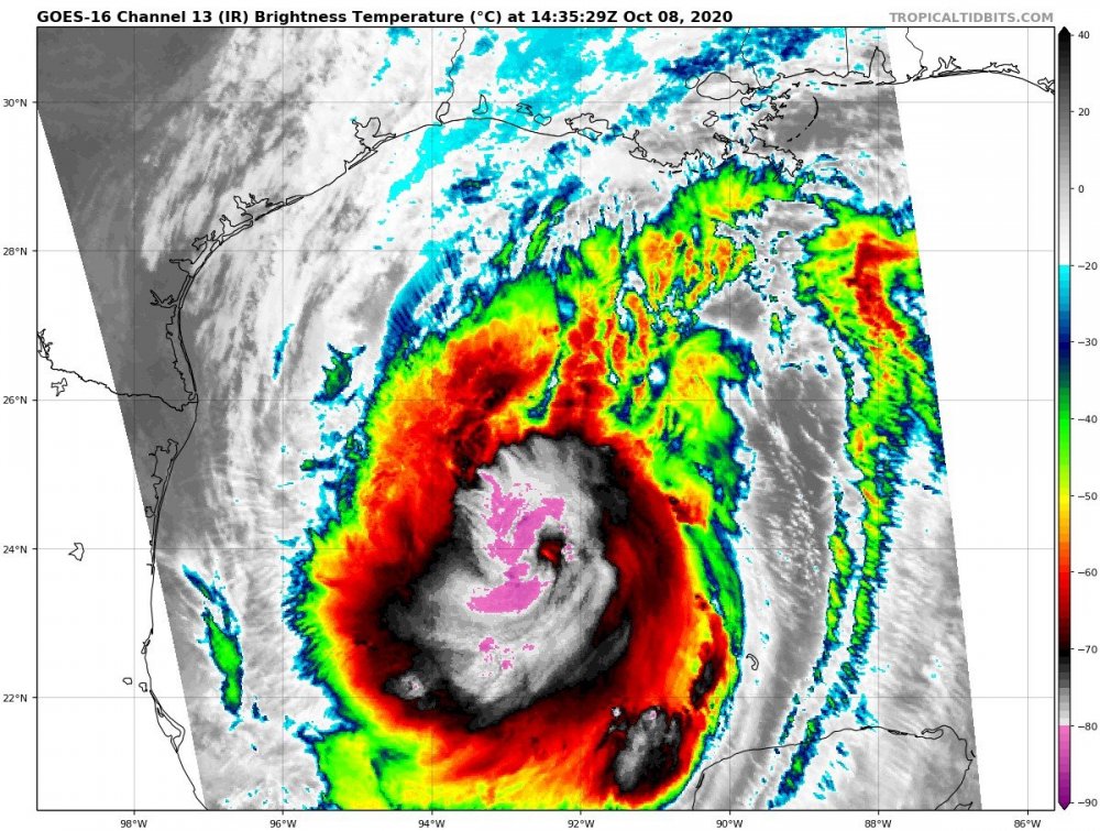
This sure puts the Greek storms of 2005 to shame
-
I can't remember the last time I've seen a storm this small, really has that Andrew look
-
Annular!!
-

-

-
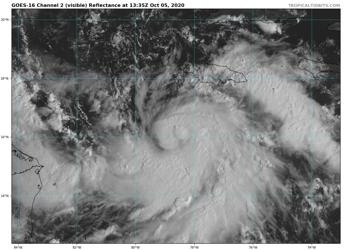
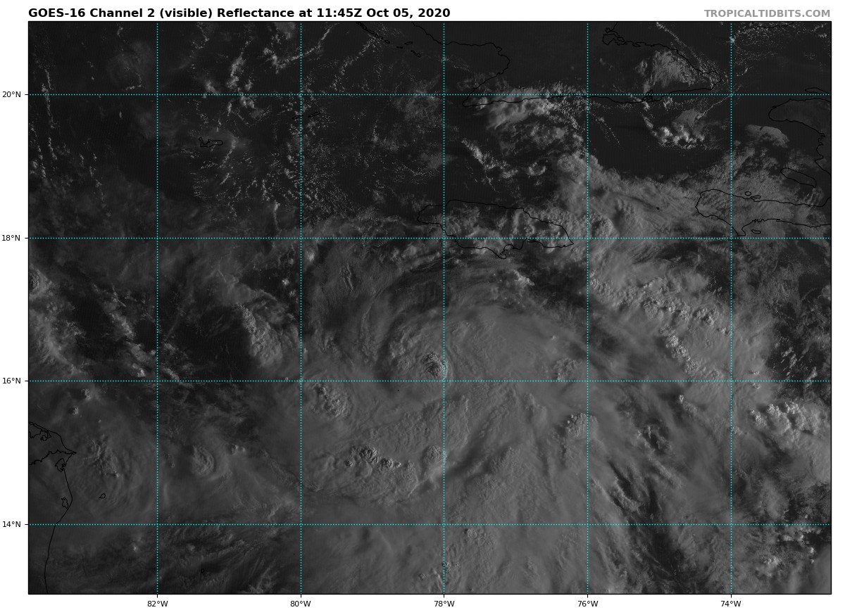
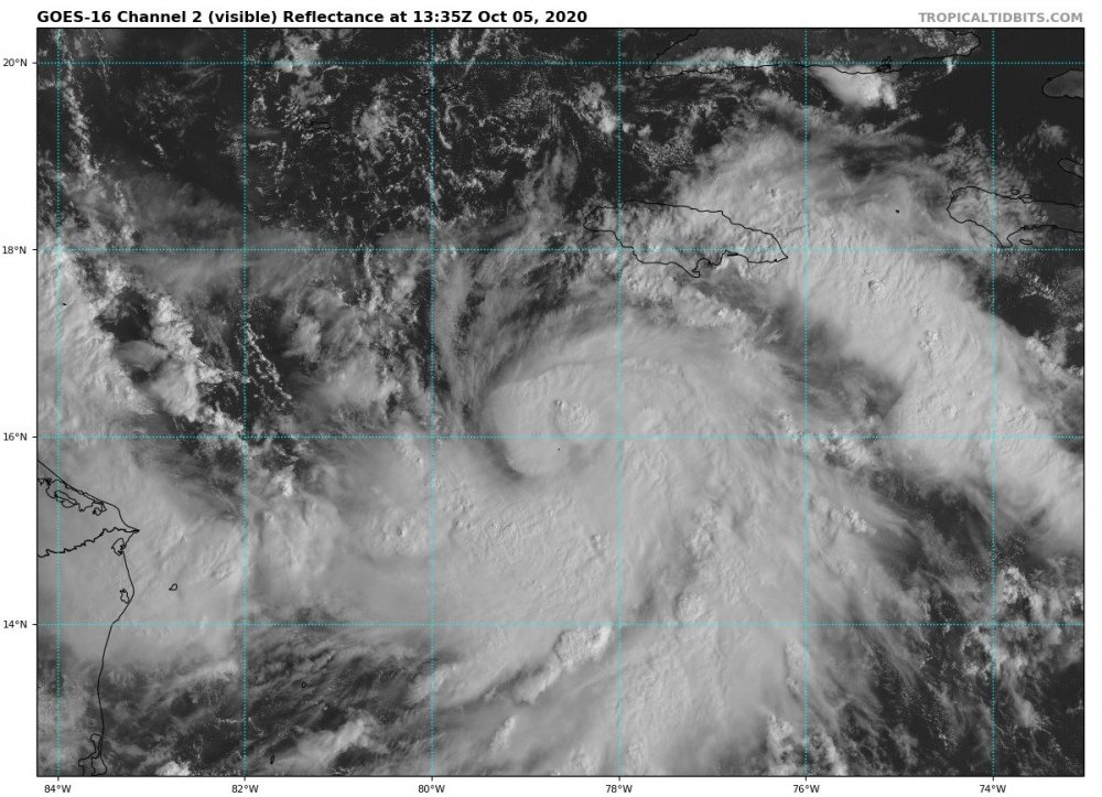
Looks like an eye might be popping out
-
Sure looks like an eye is trying to pop out, likely just a warm core feature
-
-
-
I'm really suprised how good Gamma looks right now with all the shear in the gulf
-
Sure looks like more than 45 kt to me
-
Whipping pretty hard in Boston right now, power is out for my dorm at Northeaster University
-
Catch me on the harbor doing a rain dance in a few days
-
That ICON west tug is weenie city
-
I love weather as much as the next person but tracking systems like this sure beats discussing morning dew points