cptcatz
-
Posts
1,109 -
Joined
-
Last visited
Content Type
Profiles
Blogs
Forums
American Weather
Media Demo
Store
Gallery
Everything posted by cptcatz
-
Hell yeah, a NOAA plane just took off from Lakeland... that should be in the storm in no time. The AF plane from Biloxi should be there a little bit after. Hopefully they are fully fueled and can stay in for a while. Will be interesting to see how it strengthens from pass to pass.
-
Agreed. This just has the look of a storm about to take off. Lots of hot towers going up right now.
-
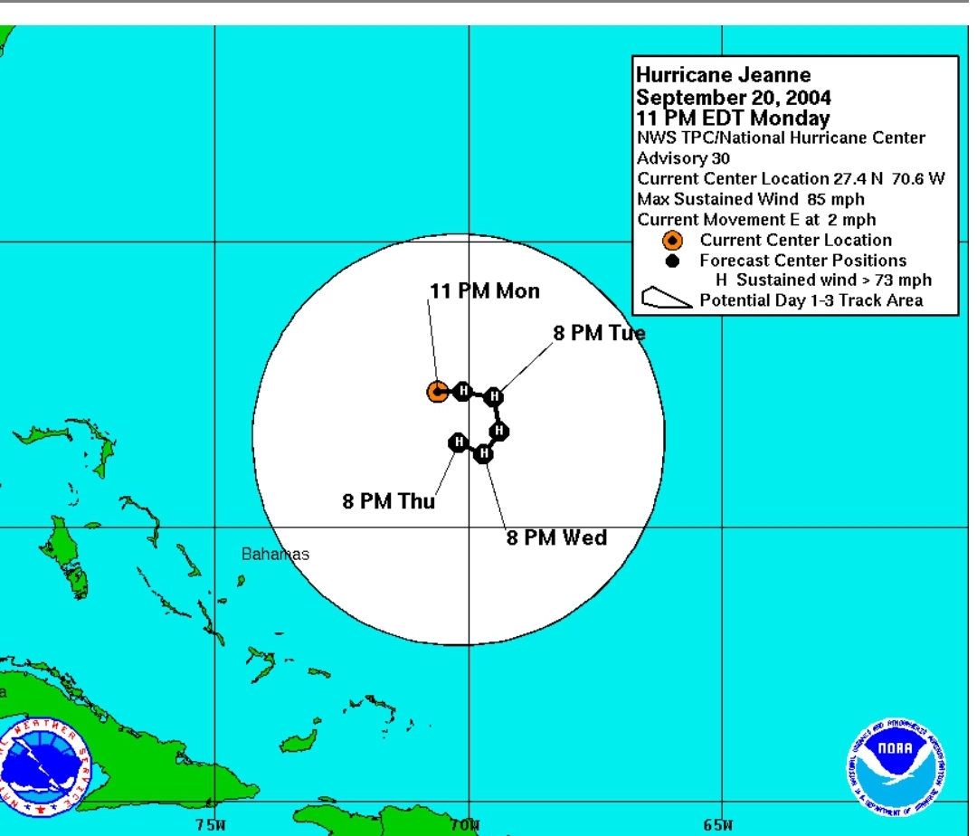
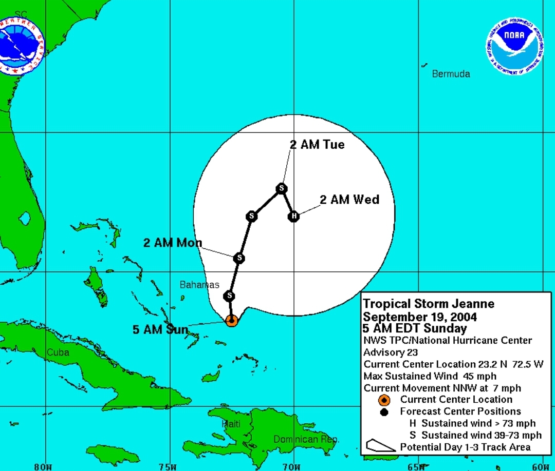
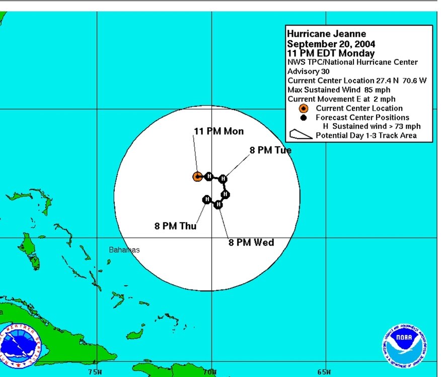
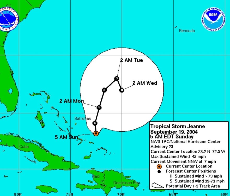
Jeanne had some gnarly turns
-
I'm not sure why this is a weenie take. The storm has a clear low level center with convection popping overhead, and will be traversing some of the hottest water in the world right now for the next 400 miles, along with what appears to be good atmospheric conditions. This along with GFS showing a landfall pressure of 983, I think cat 2 is clearly on the table right now.
-
Convection popping right over the low level center right now. I think it's off to the races. Wouldn't be surprised to see this pushing cat 2 at the Florida big bend landfall.
-
2024 Atlantic Hurricane Season
cptcatz replied to Stormchaserchuck1's topic in Tropical Headquarters
Not only the current wave in the central Atlantic, but both Euro and GFS are also picking up on the wave behind that too, also heading into the Caribbean. That's a good number of long range ensemble members showing development with very few showing an out to sea curve. Ominous look at only mid-August...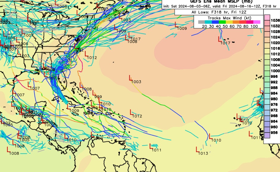
-
But Cuba is so narrow there a quick moving storm should only spend a couple hours traversing it. Look at Ian... it went over the western part of Cuba and barely made a blip.
-
So who had the biggest blowup of convection being south of Grand Cayman on their bingo card today?
-
Weren't you supposed to take a breather today?
-
2024 Atlantic Hurricane Season
cptcatz replied to Stormchaserchuck1's topic in Tropical Headquarters
In other news, GFS now has the wave currently in the central Atlantic hitting Galveston/Houston as a potential major hurricane. I feel like this hyperactive season is about to ramp up... -
It almost looks like a low level circulation is forming halfway between Cuba and Jamaica. That would be a pretty big shift south and likely west.
-
Convection is blowing up to the southwest of Hispaniola but it still looks like there's at least a mid level spin to the north circled here. I think this is more of a nowcasting event until a real center forms because until then the models seem to have no idea what's going on.
-
12z Euro batters the GA/SC coast with like 4 straight days of tropical storm rains. Edit: oh man and at hour 216 it turns back into the coast, making it sit there for 6 straights days.
-
Interesting, looks like they just flew two AF planes from the USVI back to Biloxi probably to station them there for more Gulf flights the next few days and were like "well we may as well fly through the invest".
-
I'm looking at that one GEFS member that loops back around and hits Palm Beach County as a sizeable hurricane...
-
Is it me or is it it trying to form a center of rotation here to the north of Hispaniola? If it does spin something up there, that would put it a good bit north of modeling and have it over hot water for much longer than anticipated.
-
More like 97L has been designated. But yeah, nice to finally have the extra tracking tools.
-
2024 Atlantic Hurricane Season
cptcatz replied to Stormchaserchuck1's topic in Tropical Headquarters
Euro now caved to GFS, has it lingering over florida for a few days as a weak tropical storm. Looking forward to some good rain here in Boca Raton. -
2024 Atlantic Hurricane Season
cptcatz replied to Stormchaserchuck1's topic in Tropical Headquarters
Convection is finally starting to bubble. I think the thing to watch here is where does it start to condense? Euro has consistently been showing the center to stay well north of the islands while GFS has consistently been showing the center going straight through the islands. Looking at this picture, I think the GFS may be correct... -
2024 Atlantic Hurricane Season
cptcatz replied to Stormchaserchuck1's topic in Tropical Headquarters
And yet no support whatsoever with the GFS ensembles... -
2024 Atlantic Hurricane Season
cptcatz replied to Stormchaserchuck1's topic in Tropical Headquarters
Euro ensembles are trending more aggressive..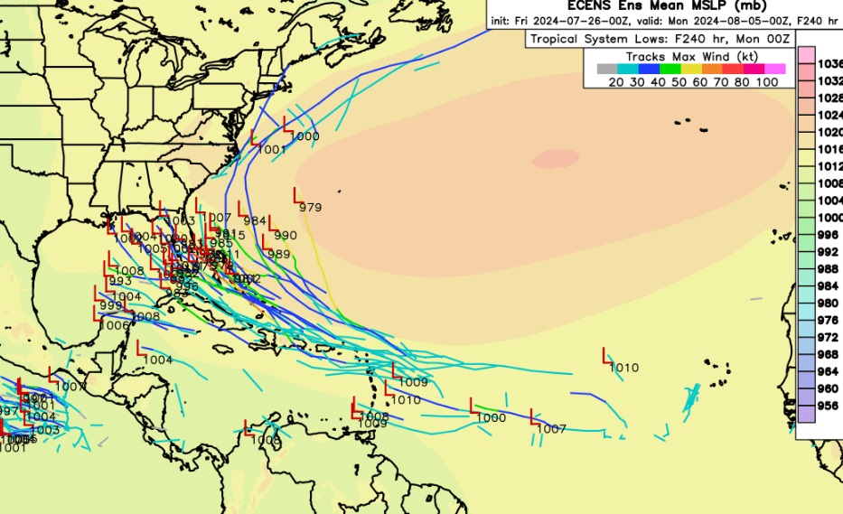
-
2024 Atlantic Hurricane Season
cptcatz replied to Stormchaserchuck1's topic in Tropical Headquarters
Back to back Euro runs now showing development around South Florida first few days of August. -
2024 Atlantic Hurricane Season
cptcatz replied to Stormchaserchuck1's topic in Tropical Headquarters
Just want to respond to all the above posts saying "you people" canceling the season. All I'm saying is I don't see the high number of named storms verifying based on the activity so far. The seasons with a lot of named storms have a lot of slop in June and July taking up names which we don't have this season. I'm not at all saying things won't ramp up quickly and we could get a big ACE season. The only person canceling this season is ldub which if you've been around here long enough you know that happens every single year from that person and you should just disregard every post that comes from him/her. -
2024 Atlantic Hurricane Season
cptcatz replied to Stormchaserchuck1's topic in Tropical Headquarters
Sticking with what I said here. I don't see getting past like 16-17 named storms. -
2024 Atlantic Hurricane Season
cptcatz replied to Stormchaserchuck1's topic in Tropical Headquarters
I get the hyperactive season with big hurricanes in ASO but I just don't see how we get to 25 named storms with 3 in the books and a dead July on the horizon. Going into August, 2005 had 7 named storms and 2020 had 9. To get those big named storm numbers, you need a lot of June/July slop.