cptcatz
-
Posts
1,077 -
Joined
-
Last visited
Content Type
Profiles
Blogs
Forums
American Weather
Media Demo
Store
Gallery
Everything posted by cptcatz
-
Looks like recon is going home without going through the biggest convection??
-
Why would they make that turn to the southeast? Wouldn't the wind directions point to the center being northwest of that turn?
-
Looks like the LLC might be right under the intense convection. I have a feeling we're gonna see some surprisingly big wind numbers when they find the center.
-
Recon is in. Will be very interesting to see what they find.
-
You can follow it here. They left from Aruba, probably have a couple hours until they get to the storm. https://www.tropicaltidbits.com/recon/
-
NHC said in the 5am disco that there probably isn't one.
-
2021 Atlantic Hurricane season
cptcatz replied to StormchaserChuck!'s topic in Tropical Headquarters
Best signal of the year so far from euro for a possible long tracker
-
This thing is a mess. I have no idea where the center is but the convection is moving due south. Can't see that being good for the structure.
-
It looks like all the bad weather is south of the center now. Unless the storm starts heading north I don't see south Florida getting too much.
-
Am I missing something? Looks like a hot mess to me.
-
Weird stuff going on with Fred this morning. Is it possible a new center could form south of Cuba? That would throw off all the models...
-
Well the 11pm advisory just came out... no hurricane watch, no additional tropical watches, storm still expected to pass south Florida as the weakest tropical storm categorized. But yeah, keep going with the red tagger.
-
Wait what? At 5pm the NHC forecasted Fred to be at 40 mph near South Florida with the bulk of the storm being on the west side of the state. Why would a hurricane watch be coming at 11pm for anywhere, let alone Broward County?
-
Convection is definitely slowly starting to fill in closer and closer to the swirl center. Still has a ways to go but if it keeps it up it could be a nice TS by the time it gets near southern Florida.
-
The swirl is clearly evident just west of Inagua, problem is there's no convection for hundreds of miles.
-
Aren't they doing basically what they did with Eta last year when it was over Central America?
-
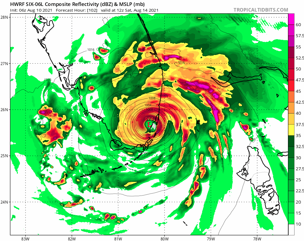
Interesting 12z HWRF run. It shows it getting shredded by Hispanolia but then regenerates near the Bahamas and still hits Miami-Dade at 982 mb. Any way that's possible?
-
HWRF coming in hot

-
Convection is looking pretty bad, nearly the entire southern half of the storm is exposed. Wonder if it can overcome this before hitting land.
-
Isaias actually went right over Hispaniola and came off an intensified to a hurricane. Laura also survived a quick trip over Hispaniola.
-
2021 Atlantic Hurricane season
cptcatz replied to StormchaserChuck!'s topic in Tropical Headquarters
Wide spread but lots of members showing the next one developing -
2021 Atlantic Hurricane season
cptcatz replied to StormchaserChuck!'s topic in Tropical Headquarters
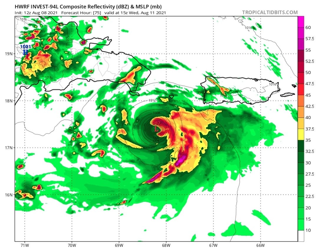
Wouldn't be surprised to see 94L become a depression today seeing how it's looking this morning. Eager to see an ascat pass. Looking tight and juicy. -
2021 Atlantic Hurricane season
cptcatz replied to StormchaserChuck!'s topic in Tropical Headquarters
Am I the only one that doesn't understand 99% of AmpedVort's posts? -
2021 Atlantic Hurricane season
cptcatz replied to StormchaserChuck!'s topic in Tropical Headquarters
Dr. Phil says there's a very very low chance of El Nino forming -
2021 Atlantic Hurricane season
cptcatz replied to StormchaserChuck!'s topic in Tropical Headquarters
HWRF brings it down to 987 mb before being shredded by Hispaniola.