Albedoman
-
Posts
1,380 -
Joined
-
Last visited
Content Type
Profiles
Blogs
Forums
American Weather
Media Demo
Store
Gallery
Everything posted by Albedoman
-

Winter Forecasts for 2022-2023 (Amateur and Pro welcome)
Albedoman replied to ChescoWx's topic in Philadelphia Region
fwiw December 1-7 no snow avg temps December 8-17 4-6 inches of snow below normal temps December 8-24 3-6 inches of snow below normal temps December 25-31 4-6 inches of snow avg temps January 1-15 6-10 inches of snow below avg temps January 15-31 4-8 inches of snow avg temps February 1-15 8+ inches of snow below avg temps Februray 15-28 6-8 in of snow avg temps March 1-31 4-6 inches of snow avg temps at least 3 storms of 8+ inches with at least one week or more of solid single digit lows or colder in early January. Total snowfall 46 inches for the LV. Snow cover 25 + days -
Yep, I agree. On to my next measurable snow event. Thanksgiving weekend is still in the picture for at least a 2-4 inch snow event
- 852 replies
-
- 1
-

-
- hurricane
- tropical storm
- (and 1 more)
-
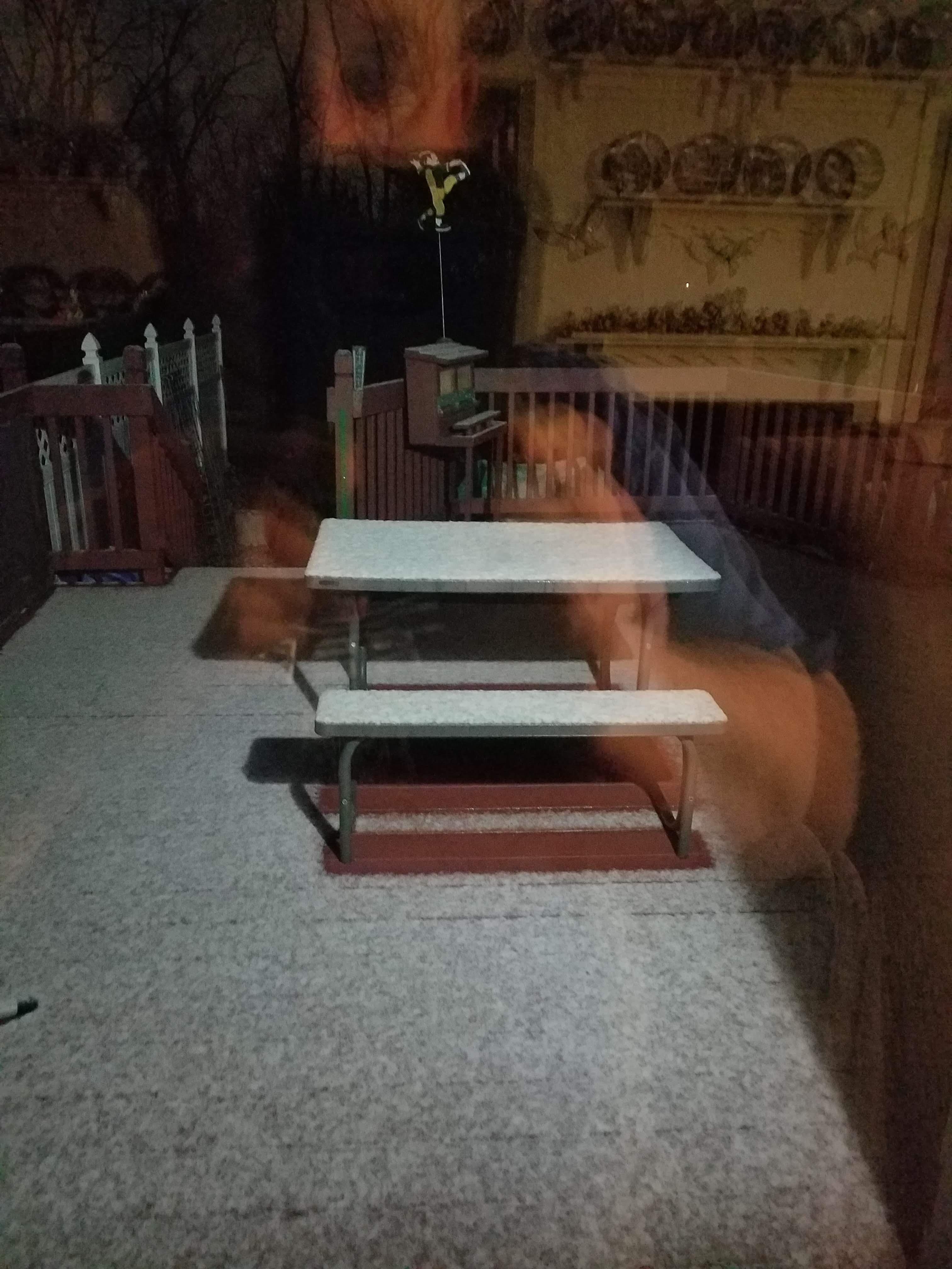
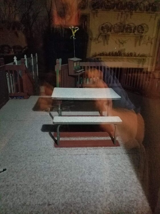
bonsai. Measurable snow on my Deck in Macungie. I locked that baby in good.
- 852 replies
-
- 2
-

-
-
- hurricane
- tropical storm
- (and 1 more)
-
Bullseye. Sleet mixed with wet snow in Macungie 38 degrees. If the profile cools more, that would be great but I just do not see that happening as the precip is still too light. Well winter has begun.
- 852 replies
-
- 2
-
-
-
- hurricane
- tropical storm
- (and 1 more)
-
no biting until the Euro spits out this same map in 4 days
-
from the lock it in guy two weeks ago: Fantasy storm after Thanksgiving for us on this evenings GFS run. Something is definitely up with the -EPO blocking playing a big part as it starts to relax. Something worth watching over the next week or so. Will not bite until the Euro spits out something similar in the next few days as is is still out of its bullseye range of ten days. Its been a long time since I have seen 2-3 feet for the LV and Poconos accumulations but again this is just a clown map
- 852 replies
-
- 4
-
-
-

-
- hurricane
- tropical storm
- (and 1 more)
-
ABE looks likely to see some wintry precip next week with the blocking. The Euro painted that out this possibility about three days ago and the GFS is consistently is harping on it. Also would not be surprised to see someone in the tri state area to get an an F0 or F1 tornado out of Nicole. . Reminds me a lot of this situation in 2008 with tropical storm Hanna with my location being in the NE/NW quadrant of the storm.
-
Agree, what I have been eluding to all along Ralph. One storm sets up the other. I maybe wrong on the 16th but we may eventually get some on the 18th. Its depending on how much cold is sucked down our way. Lets hope the GFS and CMC models stay on track. What convinced me was the Euro runs a few days ago showed a solid hit in this time period and the Euro is somewhat accurate sniffing out the potential snow events 6-10 days out. The 16th-18th fell in that time frame.
- 852 replies
-
- 1
-
-
- hurricane
- tropical storm
- (and 1 more)
-
- 852 replies
-
- 1
-
-
- hurricane
- tropical storm
- (and 1 more)
-
Nov 16-18, first measurable snow for the LV this season-- lock it in
- 852 replies
-
- 2
-
-
- hurricane
- tropical storm
- (and 1 more)
-
donut hole right over the LV typical
-
WOW, a truly western USA mountain valley night here for the LV --29 degree low expected with a chance of freezing fog. Do not see that forecast to often here in October let alone before Thanksgiving. The diurnal range is just incredible almost 35 degrees with low dewpoints and low humidities during the day. Highs in the mid 60s from 29 degrees
-
those idiots do not realize that loading up ads significantly slows down my time for looking at the radar and seconds are important. Like everyone else has just said- they are now gone from my viewing. Boy are they stupid.
-
my bad , it should have been Named Hurricane Hermine
- 852 replies
-
- 1
-
-
- hurricane
- tropical storm
- (and 1 more)
-
Hurricane Gaston- first weekend in October Cat 3+ downgraded by the time it hits us will bring us our first biggie rain event here in awhile
- 852 replies
-
- 1
-
-
- hurricane
- tropical storm
- (and 1 more)
-
I agree. That huge low in Alaska is going to bring down some good ole cold fronts in the next few weeks with lows dropping into the 30's. The La Nina pattern is also going to help steer the hurricanes away from our area. The growing season will end early this year. This stubborn pattern creates long duration small accumulations of snow on the ground but constant clippers will keep the snow pack refreshed and cold . I expect the parade to start around Thanksgiving going into December.
- 852 replies
-
- 1
-
-
- hurricane
- tropical storm
- (and 1 more)
-
good, I hope it stays dead. La Nina patterns are not necessarily mild but they are sure the hell less snowy for our area. The Central US (Missouri, Illinois and northern Kentucky) with the Great Lakes area will get pounded (Indiana, Ohio, NW PA and NY) with heavy snow in this pattern. Usually only one or two good snows(8+ in) are typical in our area and they have to be thread the needle type storms Miller B's or over producing Alberta clippers). Snow may start right after Thanksgiving this year but they will 2-4 inch type snows throughout December. Snow cover may be the real issue(long duration) and a prolong cold outbreak for our area maybe the real issue for us. I see no biggies Nor'easters in our future this year as the GOM is shutoff from LP production in this LA Nina crappy pattern for big snowstorms. If the GOM opens up during the winter, we get one but I am not holding my breath..
- 852 replies
-
- 2
-
-
-
- hurricane
- tropical storm
- (and 1 more)
-
This potential (Hurricane Fiona) potential should be taken real seriously. This first look at this storm is almost at the same pressure as Floyd (1999) in almost the same location under similar drier than normal conditions for our area in 1999. https://en.wikipedia.org/wiki/Hurricane_Floyd
- 852 replies
-
- 1
-
-
- hurricane
- tropical storm
- (and 1 more)
-
by the way, the air is so soupy this morning. Its been awhile for these ripe conditions to form but I really think some good boomers will be popping with some squall lines late this afternoon and into the evening. Its been a long time ( since June?) The drought was killed off this weekend and especially after tonight. Too late for the crops though. Really think an east based La Nina will form in mid November and dump on us this year in December with some really cold outbreaks . Snowfall should be average to just above average from the LV to the NW
- 852 replies
-
- 2
-
-
-
- hurricane
- tropical storm
- (and 1 more)
-
This snow measuring device should be called the "the 2001 Bolaris tool" LOL
-
a weenies dream. Sounds like a Ji forecast to me.
-
.25 inch here. Nothing to write home about. Not even close to a drought buster that's for sure.as this this storm is going the same way as the previous rain events this summer. SW to NE flow with the Berlin Wall set up at the Blue Mt range with oour typical donut hole. If the heavy rains down in Md area regenerate overnight, we could see some heavier downpours tonight. Thats are only hope otherwise , the flood watch may be canceled. The worst part, no t- storms.
- 852 replies
-
- 1
-
-
- hurricane
- tropical storm
- (and 1 more)
-
yep. I am waiting for a drought warning to be issued real soon. They waited too long to even issue the drought watch as the stream base flows are becoming a real issue. I expect many non -spring fed streams to be dry by next week in our area like the Jordan Creek. I know many of the posters have been teasing me about me calling for a drought since last spring but unless we get a tropical storm soon, this area's water supply, especially for private wells, are going to become very problematic. I expect well drillers are busier than hell digging deeper wells for residential properties right now.
-
.27 in of rain- the most I will see for another two weeks. The trout streams are getting the butt kicked out of them for thermals. 120 degree water from the street runoff hitting a low base flow spring fed trout stream is killing the fingerlings. This has been happening in the last five minuscule rain events. I really feel another Floyd type of tropical storm is on the horizon by late mid to late September in this weather pattern that will hopefully break this persistent drought. All I can say is the crabgrass and japanese stilt grass love this weather.
-
wam bam thank you mam storm/gust front with a 10 minute downpour coming up. That will be the end of the rain chances for another week as the desert air comes back bigtime. Any rain we get will water the flowers and garden. Thats it . The dead lawn --no hope. The base flows of the local creeks will be in pretty bad shape by next weekend. The heat returns but shorter in duration. The leaves are going to turn brown on the hardier trees now. No fall colors this year for many areas except yellow and brown. I have raked up more leaves in the past week than ever for August that's for sure. I run the lawn mower to mulch the leaves since the lawn is in dormancy