a bunch of things can happen.
1. Since the LV has the most water bottling plants in the entire country- water withdrawal restrictions placed in a drought emergency will cause massive industrial layoffs. Water authorities can restrict however they want.
2. If the Little Lehigh goes dry again in my backyard, no trout stocking- end of fish season- pissed off fishermen. In fact stocking any trout would be ill advisable until we get sufficient rains right now.
3. Private wells going dry. Waiting weeks if not months for new wells to be drilled. Try taking showers, washing clothes and flushing toilets-- good luck. Thats doomsday for many people.
4. Restaurants start charging for water. Sinkholes keep opening up in limestone areas. No swimming due to high bacteria levels in lakes and streams.
5. No car washes open, no filling of pools and water restrictions for golf courses. see below state restrictions
§ 119.4. Prohibition of nonessential water uses.
Whenever the Governor declares by proclamation or executive order a state of drought or water shortage emergency in an area of this Commonwealth, the following water uses shall be deemed nonessential and are prohibited within areas that have been declared to be in a state of drought or water shortage emergency, including within any public water supply agency’s service area for which a source of water is located within the designated drought emergency area. Nothing in paragraphs (1)—(4) allows a prohibited use of water as either a direct or indirect effect of the exceptions contained therein.
(1) The use of any water for watering of grass, except:
(i) Water may be applied to grass areas approved prior to or during the emergency as part of a sewage or storm water treatment system utilizing spray irrigation which system was approved in a permit issued by the Department prior to the drought emergency proclamation.
(ii) Water may be used to establish and maintain newly seeded and sodded grass areas when applied between the hours of 5 p.m. and 9 a.m. by means of a bucket, can or hand held hose equipped with an automatic shut-off nozzle, or when applied between the hours of 7 p.m. and 11 p.m. by any other means designed and operated to ensure effective conservation.
(iii) Water may be applied by a professional landscaper to establish and maintain newly seeded and sodded grass areas during working hours by any means designed and operated to ensure effective conservation.
(iv) Water may be used by professional landscapers or irrigation contractors for the purpose of testing newly installed or repaired irrigation equipment for a period not to exceed 15 minutes per irrigation zone.
(v) Water may be applied for the purpose of grub control one time during the effective period of the Governor’s proclamation of drought emergency.
(vi) Water may be used, in a manner that ensures effective conservation, to implement revegetation following earthmoving, where revegetation is required under an erosion and sedimentation control plan adopted under state law or regulation. Revegetation use shall comply with applicable best conservation management practices for revegetation prescribed by the Department and county conservation districts.
(2) The use of any water for watering athletic fields, except:
(i) Water may be applied to athletic field grass areas approved prior to or during the emergency as part of a sewage or stormwater treatment system utilizing spray irrigation, which system was approved in a permit issued by the Department prior to the drought emergency proclamation.
(ii) Water may be applied to maintain grass tennis courts, by means of a bucket, can or hand-held hose equipped with an automatic shutoff nozzle or by means of an irrigation system that is designed and operated to restrict the timing or total volume of water, when applied between the hours of 5 p.m. and 9 a.m. in a manner that ensures effective conservation.
(iii) Water may be applied to athletic field grass areas, other than sand-based athletic field grass areas, by a means and in a manner that ensures effective conservation, between 5 p.m. and 9 a.m. during 1 night per calendar week, beginning 2 weeks prior to use of the athletic field for practice, regular season play or other organized use and continuing through the end of the same practice or regular season or other organized use, in accordance with a schedule that has been submitted, at least 7 days prior to implementation, to the Commonwealth Drought Coordinator, the local law enforcement agency and, if applicable, to the public water supply agency from which the water is obtained.
(iv) Water may be applied to sand-based athletic field grass areas in accordance with a plan approved by the Commonwealth Drought Coordinator. Approval of the plan shall be in accordance with the following:
(A) The quantities of water applied shall be measured by means of a volumetric meter, and reports of weekly total water use shall be submitted electronically to the Commonwealth Drought Coordinator on a monthly basis during the emergency, in a form acceptable to the Commonwealth Drought Coordinator.
(B) Water may be applied at an average daily rate that does not exceed 54,300 gallons per acre per week.
(C) Water shall be applied by a means and in a manner that ensures effective conservation.
(D) All meters and meter records shall be made available by the athletic field operator for inspection by representatives of the local law enforcement agency or of the Commonwealth Drought Coordinator, at all times.
(E) A copy of the approved plan shall be submitted to the local law enforcement agency and, if applicable, to the public water supply agency from which the water is obtained, prior to implementation.
(F) Noncompliance by the water user with any term or condition of the approved plan shall cause the plan to be void, and any further use of water under this exception shall be prohibited.
(v) Water may be applied to establish and maintain newly seeded or sodded grass areas by means and in a manner that ensures effective conservation.
(vi) Water may be applied to athletic field nongrass areas to control dust during an athletic event, by means and in a manner that ensures effective conservation, if dust control is necessary to protect health or safety.
(vii) Water may be used by professional landscapers or irrigation contractors for the purpose of testing newly installed or repaired irrigation equipment for a period not to exceed 15 minutes per irrigation zone.
(3) The use of fresh water for irrigation and watering of outdoor gardens, landscaped areas, trees, shrubs and other outdoor plants except that fresh water may be:
(i) Used for irrigation for the production of food and fiber, and the maintenance of livestock and poultry.
(ii) Applied by means of a bucket, can, hand-held hose equipped with an automatic shut-off nozzle, or an irrigation system that is designed and operated to restrict the timing or total volume of water and to restrict the application to specific plantings and that ensures effective conservation, when applied between the hours of 5 p.m. and 9 a.m. Sources of water, other than fresh water, shall be used to the extent available.
(iii) Used by nurseries to maintain stock, by a means that ensures effective conservation, only to the extent that sources of water other than fresh water adequate to supply needs are not available or feasible to use.
(iv) Used by public gardens of National, State or regional significance, or arboretums to preserve specimens, by a means that ensures effective conservation, only to the extent that sources of water other than fresh water adequate to supply needs are not available or feasible to use.
(v) Used by a professional landscaper or irrigation contractor during working hours, by a means that ensures effective conservation.
(vi) Used, in a manner that ensures effective conservation, to implement revegetation following earthmoving, where revegetation is required under an approved erosion and sedimentation control plan adopted under state law or regulation, to the extent that sources of water, other than fresh water, adequate to supply needs are not available or feasible to use. Revegetation use shall comply with applicable best conservation management practices for revegetation prescribed by the Department and county conservation districts.
(4) The use of any water for watering any portion of golf courses, except water may be applied to greens, tees and fairways in accordance with a plan submitted by the golf course operator and approved by the Commonwealth Drought Coordinator no earlier than 3 years prior to the month of use during an emergency. Approval of the plan shall be in accordance with the following:
(i) The quantities of water applied shall be measured by means of a volumetric meter, and reports of daily total water use shall be submitted electronically to the Commonwealth Drought Coordinator on a monthly basis during the emergency, in a form acceptable to the Commonwealth Drought Coordinator.
(ii) Water may be applied at an average daily rate that does not exceed 70% of the calendar month basis quantity. The basis quantity shall be determined for each calendar month, as follows:
(A) Metered water use for the same calendar month, for each of the 5 years previous to submittal of the plan to the Commonwealth Drought Coordinator, shall be averaged, after deducting all water that was used for purposes other than irrigation of greens, tees and fairways.
(B) To the extent that metered data is not available for any year prior to July 7, 2002, or the date of installation of the current irrigation system, whichever is later, an application rate of 41,000 gallons per week per acre of greens, tees and fairways currently irrigated may be used in lieu of metered data.
(C) The basis quantity may not be less than 30,000 gallons per week per acre nor more than 54,000 gallons per week per acre.
(iii) Except as provided in subparagraphs (vi) and (vii), water shall be applied between the hours of 5 p.m. and 10 a.m.
(iv) Meters and meter records shall be made available by the golf course operator for inspection by representatives of the local law enforcement agency or of the Commonwealth Drought Coordinator, at all times.
(v) A copy of the approved plan shall be submitted to the local law enforcement agency and, if applicable, to the public water supply agency from which the water is obtained, prior to implementation.
(vi) Water may be applied between the hours of 10 a.m. and 5 p.m. with a hand-held hose equipped with an automatic shutoff nozzle, to syringe heat-sensitive grasses on tees, greens and fairways, in a manner that ensures effective conservation and so that water is applied to no grass area for a period exceeding 15 minutes in any 1 day.
(vii) Water may be used by professional landscapers or irrigation contractors during regular work hours for the purpose of testing newly installed or repaired irrigation equipment for a period not to exceed 15 minutes per irrigation zone.
(viii) Noncompliance by the water user with any term or condition of the approved plan shall cause the plan to be void, and any further use of water under this exception shall be prohibited.
(5) The use of any water for washing paved surfaces, except water may be used:
(i) For prewashing in preparation for recoating and sealing.
(ii) At the minimum rate necessary for the maintenance of tennis courts composed of clay or similar materials, by means of a bucket, can or hand-held hose equipped with an automatic shutoff nozzle.
(iii) At the minimum rate necessary for sanitation of the premises of raw or processed food, pharmaceutical or vaccine processing, storage or vending establishments, including restaurants and grocery stores.
(iv) At the minimum rate necessary for the sanitation of the premises of waste handling, storage and disposal facilities.
(v) At the minimum rate necessary to comply with permit conditions or other regulatory requirements.
(6) The use of any water for ornamental purposes, including fountains, artificial waterfalls and reflecting pools, except:
(i) Fountains or waterfalls may be operated to perform the primary and necessary aeration function for a pond that supports fish life.
(ii) Water may be used to top off ornamental water gardens or fish ponds to the minimum extent necessary to maintain fish and aquatic life.
(7) The use of any water for washing or cleaning of mobile equipment except that:
(i) An individual may wash personally owned or leased vehicles by buckets and may use a hand-held hose equipped with an automatic shutoff nozzle to prerinse and rinse (total spray period not to exceed 2 minutes), in accordance with the following schedule:
(A) Odd street addresses on first and third Saturdays of the month.
(B) Even or no street addresses on the second and fourth Saturdays of the month.
(ii) Water may be used by commercial car washes at the minimum rate necessary to ensure an effective wash.
(iii) Water may be used for cleaning of construction, emergency, public transportation or government vehicles if necessary to preserve the proper functioning and safe operation of the vehicle.
(iv) Water may be used for cleaning and sanitizing equipment used for hauling or vending raw or processed food, pharmaceuticals or vaccines for human or livestock use, or for handling waste products.
(v) Water may be used for the cleaning of new and used cars which are part of a dealer’s sales inventory in accordance with the following restrictions:
(A) A vehicle may be washed in preparation for sale at the time the vehicle is received from the manufacturer or prior owner.
(B) A vehicle shall be washed no more than once every 7 days, to be determined as follows:
(I) Odd street addresses on Tuesdays.
(II) Even or no street addresses on Wednesdays.
(C) A vehicle may be washed following sale immediately prior to delivery to the purchaser.
(D) A vehicle may be washed only by a means designed and operated to assure effective conservation of water or in accordance with the procedures, excluding schedule, described in subparagraph (i).
(vi) Water may be used by professional mobile wash businesses, at the minimum rate necessary, for the washing of vehicles as part of normal business practices.
(vii) A nonprofit service organization or club may wash vehicles in conjunction with a fundraising activity in accordance with the procedures described in subparagraph (i), without restriction as to schedule.
(8) The serving of water in restaurants, clubs or eating places, unless specifically requested by the individual.
(9) The use of any water to fill and top off swimming pools, except that water may be used to fill and top off:
(i) Public swimming pools and residential swimming pools serving 25 or more dwelling units, if the pools have filtration equipment allowing for continued use and recycling of water over the swimming season.
(ii) Swimming pools operated by health care facilities used in relation to patient care and rehabilitation.
(iii) Other pools only if approved by the public water supply agency from which the water is withdrawn. If water is obtained from other sources, permission from the owner of the source is required.
(10) The use of water from a fire hydrant—including sprinkler caps—for any purpose, except for the following permissible uses:
(i) Firefighting.
(ii) Testing of fire fighting apparatus or conducting water flow tests for fire insurance classification or reclassification, if approved by the public water supply agency from which the water is obtained.
(iii) Flushing sewers, water mains or hydrants when needed to protect public health and safety, if approved by the public water supply agency from which the water is obtained.
(iv) The watering of urban gardens in the city of Philadelphia after obtaining a Water Department and Licenses and Inspection permit.
(v) The filling of tank trucks at designated facilities with the approval of the public water supply agency from which the water is obtained, or if the city of Philadelphia, after obtaining a Water Department and Licenses and Inspection permit.
(vi) Recreational use of sprinkler caps in the city of Philadelphia, under the recreational fire hydrant program at authorized locations and at times supervised by the city police, fire, recreation and park facilities.
(11) The use of any water that is not for a beneficial use.


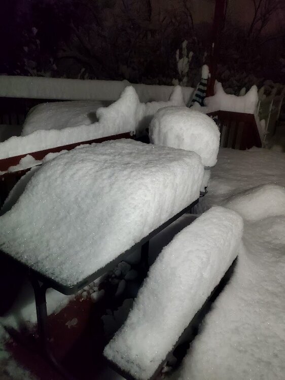

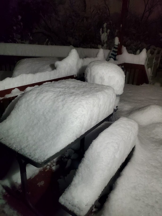
 the drought lives on baby Every model run and radar is getting drier and drier. I will not be satisfied until a drought emergency is issued by PADEP LMAO. By the way, I warned you guys about the abundance of sinkholes in our general area for the past 3-4 months. I-80 fell into a massive on yesterday and it is getting bigger. This is the late 60's all over again. We need a a 93 superstorm badly. Maybe the first week in March will produce something major and pattern changing because the models tell me jack shite on even getting a WSW event for us for the next two weeks after continuously showing 30+ in of snow for the LV in the past three weeks . Just give at least 3 2" rain events now to hell with the snow. I did not even use the snow shovel for the sleet event, it sublimated away. LOL. https://abc7ny.com/post/north-jersey-traffic-80-wharton-faces-emergency-closure-sinkhole-appears-return/15888495/