HeadInTheClouds
-
Posts
1,691 -
Joined
-
Last visited
Content Type
Profiles
Blogs
Forums
American Weather
Media Demo
Store
Gallery
Everything posted by HeadInTheClouds
-
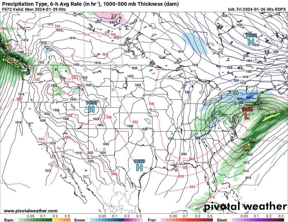
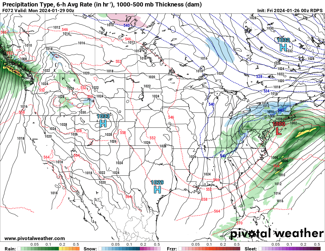
 Not every model run is going to be exactly the same. I see no real difference except 12z nam is a little west with the low and GFS a tad east.
 -
Where exactly?


-
This is true but they are in the business of accurate forecasts. Haven't watched that channel in years.
-
Where is the south shift that some speak of? I see none of this at 12z.
-
CMC has been abysmal with this storm. Ens prob above gives NYC metro nearly 100% of >1 but gives places south of Albany less chance. Not going to happen.
-
See you after the Euro.
-
Seems like even the nam is based more in reality than the CMC.
-
Losing a lot of respect for the CMC with this one. It's either going to pull off a major coup or it's been just absolutely awful with this one.
-
WSW posted for 6-9 inches in MHV and NW Ct.
-
It doesn't look good but it's still not over for NYC metro. Maybe 1-3. Still no consensus among models. It's basically Euro/GFS/ICON vs CMC/NAM/Ukie.
-
Yea and you are talking about the GFS 190 hours out. These models are still trying to figure out this upcoming event less than 72 hours out.
-
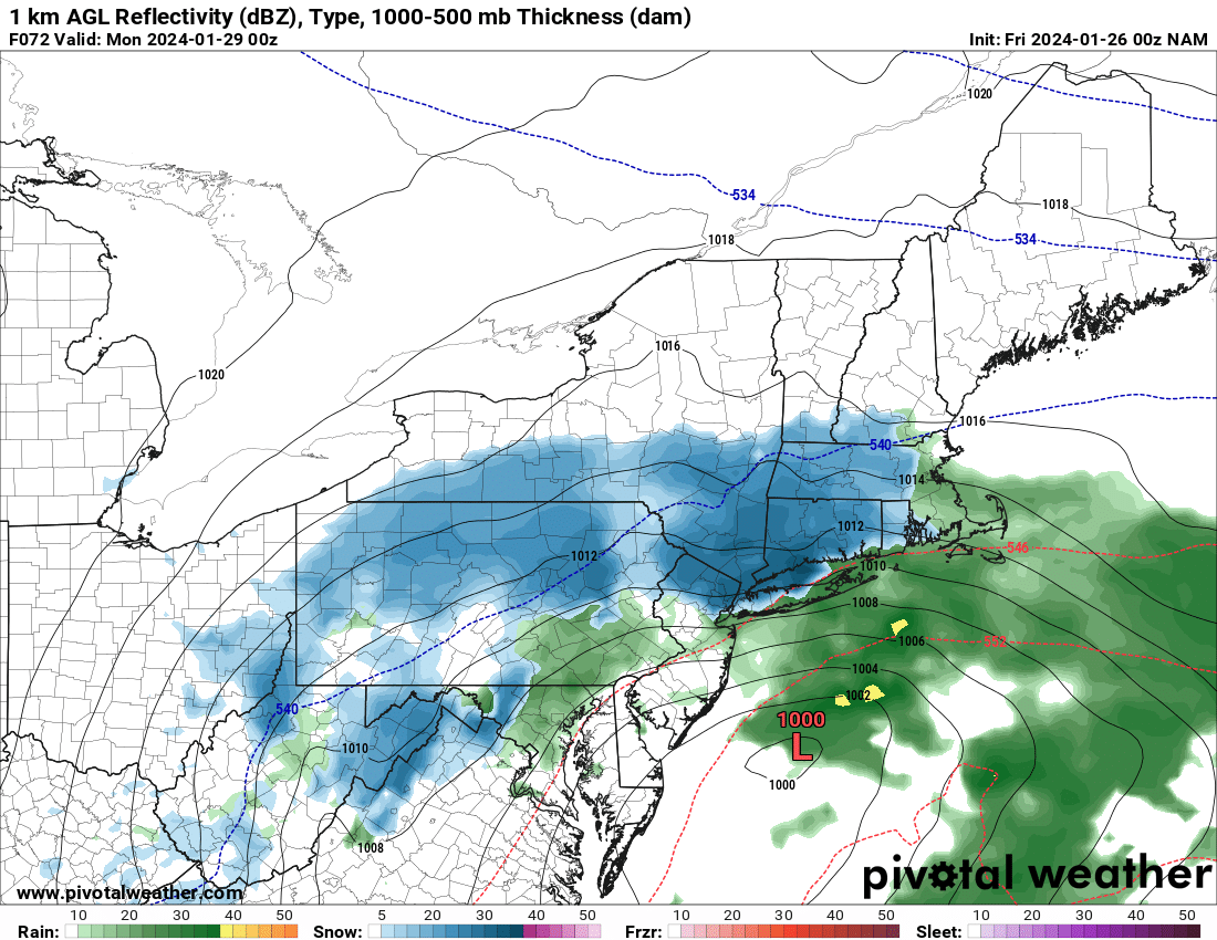
It is yes, but it did come north at least 50 miles with precip field.
-
It did come north at 18z FWIW.
-
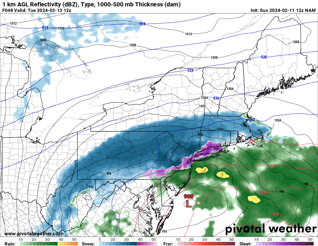
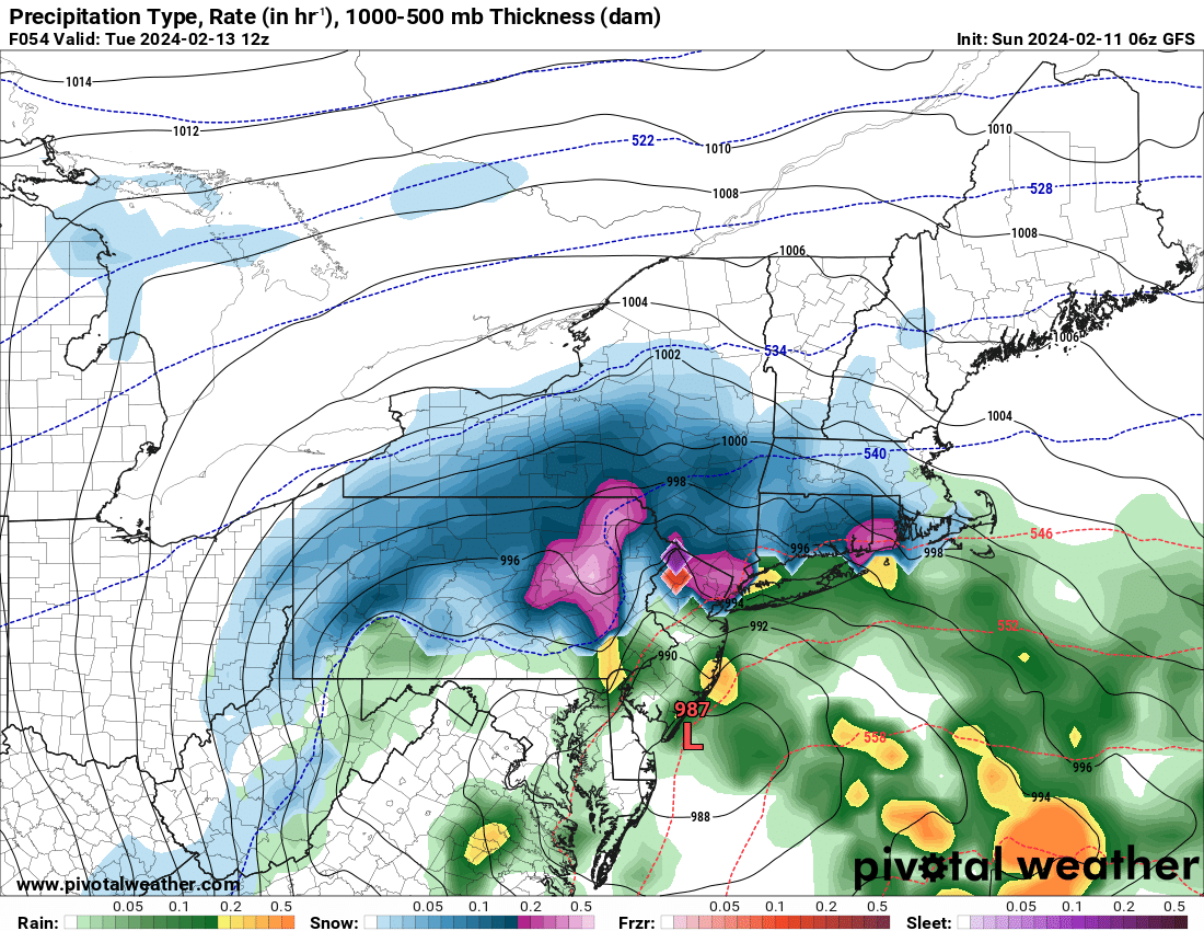
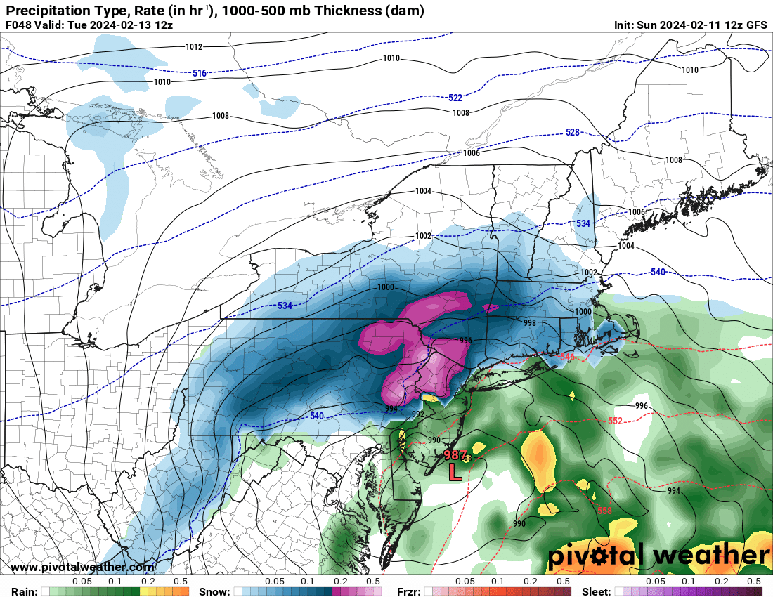
33 with moderate snow, around a half inch.
-
34 with light snow and a little sleet mixed in. Starting to stick.
-
Alternating between light rain and brief periods of moderate/heavy snow depending on precip intensity. Just a trace of snow on colder surfaces. Temp steady at 34. Hoping for some accumulation later this afternoon and evening.
-
34 with light rain/snow mix now.
-
34 with moderate/heavy snow, starting to stick to colder surfaces.
-
This is a tough one with thermals but if you are around 1000 in elevation you should get more than that I would think. We will find out soon enough.
-
Expecting 1-2 in the HV 20 miles north of 84. Elevated areas should do pretty well.
-
It's a bad model and pretty useless beyond 24 hours. It's run to run differences are a joke. RGEM is much better and consistent run to run. No models are perfect and they all have their flaws and biases but the American models are behind Canadian and Euro.
-
It's been said many times before but I just want to say what a garbage model the Nam is. The American model suite is an embarrassment.
-
Always warm RGEM not enthused for snow except for elevated areas well N and W. 850's are below 0 just N and W of NYC.