OrdIowPitMsp
-
Posts
2,819 -
Joined
-
Last visited
Content Type
Profiles
Blogs
Forums
American Weather
Media Demo
Store
Gallery
Everything posted by OrdIowPitMsp
-
They are writing news articles about the snow piles in the Twin Cities this year. The city of Bloomington dumps all its snow in a field by my office, I don’t think that will completely melt til mid May. https://www.cbsnews.com/amp/minnesota/news/massive-snow-pile-lovingly-named-mt-eden-prairie/
-

March 24-25 Palm Killer (Snow Event)
OrdIowPitMsp replied to hardypalmguy's topic in Lakes/Ohio Valley
With all this Florida talk I’m excited to say I’m going to Sun Valley Idaho next week for more skiing. This is a banter thread now. -
March 24-25 Palm Killer (Snow Event)
OrdIowPitMsp replied to hardypalmguy's topic in Lakes/Ohio Valley
Florida has a time and place, it’s for Disney and the 50+ crowd. Looks like a nice spring paste job coming for the Milwaukee palms. -
I’ve got a friend in Venice Beach CA trying to convince me to ski Mammoth with him on the 4th of July. They’ll be open
-
Spring 2023 Medium/Long Range Discussion
OrdIowPitMsp replied to Chicago Storm's topic in Lakes/Ohio Valley
I’m sure there is some green stuff under the blanket of snow imby just waiting for it’s opportunity. -
Winter 2022/23 Short/Medium Range Discussion
OrdIowPitMsp replied to Chicago Storm's topic in Lakes/Ohio Valley
Snow cover especially the duration of 10”+ depths definitely is what gave Minneapolis the severe winter rating. While it hasn’t been as “mild” here as the rest of the sub, I certainly wouldn’t say we saw our normal share of harsh winter temperatures this year. -
I guess I’m in the nonsensical camp because I’ll take wall to wall deep winter from 10/31-4/30 year in and year out. That being said, 40 and sunny felt pretty freaking awesome today. Our final ski trip of the season is planned for Lutsen MN 4/22-23 then it can be spring.
-
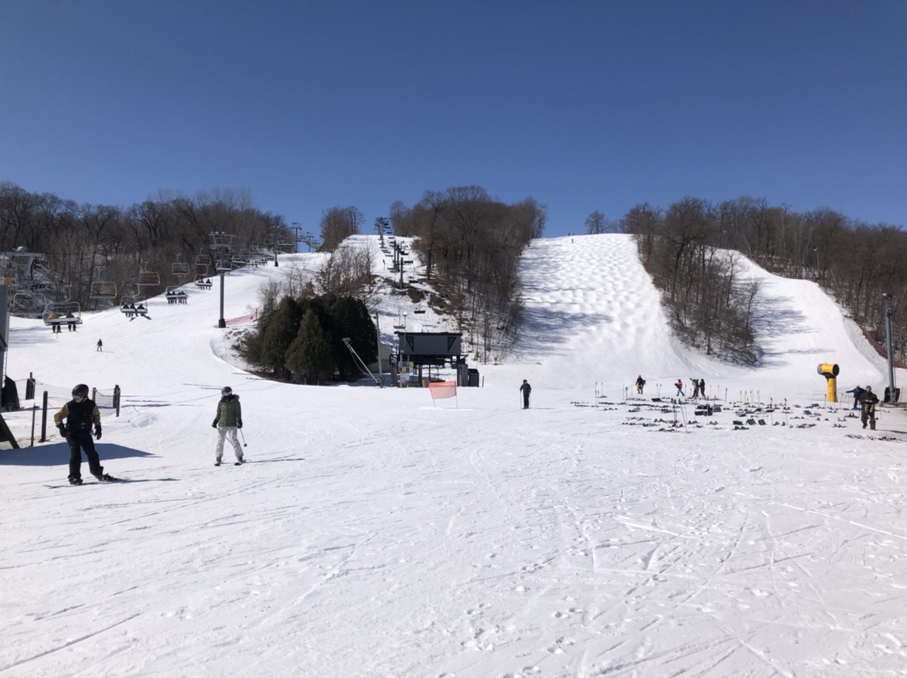
Perfect spring skiing day in the Midwest.

-
Got down to 7 here again last night. Should have a solid recovery to around 40 today.
-
High of 27 today. That March sunshine sure feels good. MSP recorded 0.5” of snow today, mostly in the overnight hours bringing the season total to 81.3”
-
The Chanhassen NWS site is up to 91.8” with a 12” depth. Very impressive.
-
Light dusting of snow overnight to slick things up. The glacier lives with 5-10” of snowpack in place. Overnight low of 7. Might be our final single digit temp of the season.
-
WSW 4-7” back home, feels muggy at 8,000’ in Colorado this morning.
-
If I can make it out of Colorado tomorrow evening during a storm I come home to another snowstorm. 18z GFS had that look.
-
2.1” is what I’ve seen for Minneapolis. It looks like it’s been snowing all day so that total might be a bit higher. 80.1” is the seasonal total now.
-
Todays storm has brought Minneapolis up to 79.8” season to date. 7th snowiest all time. Still snowing per webcams
-
3” in Minneapolis, and puking snow in Aspen CO.
-
Taxiing for takeoff and the snow just started.
-
Looks like 3-5” across the twin cities today. Haven’t been tracking this one as closely as usual, heading to the airport for a week in Colorado and the remnants of an AR event hitting this weekend have my attention.
-
Mood flakes+ all day added up to 0.4” by 6pm bumping Minneapolis up to 75.1” on the season. We had a decent band work through between 630-8 that should add some more to the total. As a harbinger to the date on the calendar very little accumulated on paved surfaces until the sun set.
-
My dad calls Minnesota “diet Canada”
-
Working in @mnchaserguy neck of the woods at hwy-65 and 99th St today. It’s been solid white rain for a few hours. Maybe a couple tenths of new accumulation.
-
I’m with @A-L-E-KDallas climate sounds terrible to me. Flip the number of days above 100 with days below 32 and maybe we can talk.
-
We’ll take all we can get. The lakes need to recover from 2 summers of extreme drought.
-
2008 was relentless. I was working in the Minocqua WI area that summer. RIP Lake Delton.