OrdIowPitMsp
-
Posts
2,787 -
Joined
-
Last visited
Content Type
Profiles
Blogs
Forums
American Weather
Media Demo
Store
Gallery
Everything posted by OrdIowPitMsp
-
Another day of low 80s. Dewpoint fell into the 53-55 range today which has really made for a perfect summer evening.
-
That 1936 heatwave is a remarkable outlier. Will be interesting to see if it can be repeated again in the future, or spoiled by higher dews from modern agriculture.
-
High of 82, stayed cloudy most the day so we fell well short of the forecast high.
-
High of 87 yesterday. 0.31” of overnight rain from a decaying line of storms.
-
Next week looks mighty toasty around here. Will we string together some upper 90s/low 100s or will the ridge end up further southeast like this past “heat wave”
-
0.86” of fun last night.
-
Mid 80s, storms bubbling up all over the region. Happy Independence Day everyone!
-
83 yesterday. Almost all of the rain missed us to the south.
-
84 at MSP. Storms missing to the south. Probably should just post in the July thread.
-
High of 90 today. 3rd 90 of the year at MSP
-
Topped out at 92 yesterday.
-
91/79/108
-
90/75 My sweat glands have activated. Quite a bit more cloud cover than I expected today.
-
Really nice unexpected treat this morning. Looks like a wake low. Healthy amount of rain will keep the garden happy with the incoming heat.
-
Going to fall short of triple digits but we should string together 5+ 90 degree days, with near daily storm chances. 16 of the last 17 days have been BN. A classic summer heatwave was bound to happen.
-
Would be cool to go from this unbelievable stretch of weather we’ve had lately to 100 on Monday. It’s going to be close!
-
0.90” of the good stuff.
-
The heavens have opened up and unleashed some healthy rainfall rates right over the metro just in time for rush hour. Garden will be happy.
-
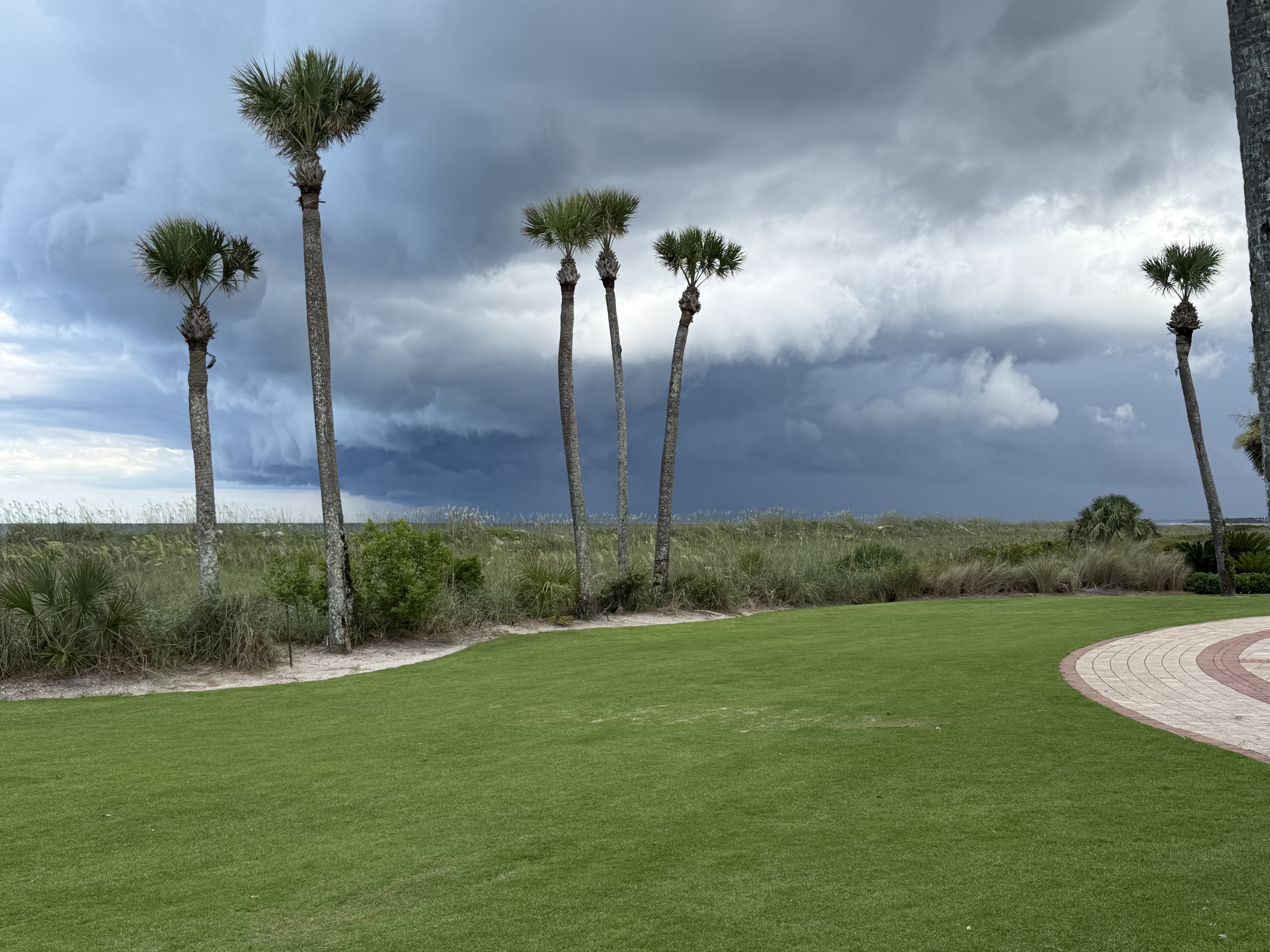
Golden Isles of Georgia for a wedding. Cool watching storms roll in and interact with the sea breeze
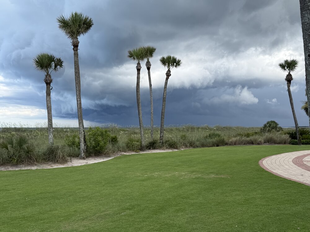
-
It’s a good thing we went there before the prevalence of AI, because nobody would believe the scenery in my photos is real.
-
Tropical downpour and constant lightning in this band moving through. Nice to get a little garden variety action.
-
80% of my 2026 total in June. Congrats This recent stretch has alleviated drought concerns locally
-
I’m a broken record from the above posts but you can’t script it any better.
-
72/37 Perfecto
-
Dews have crashed to the low 40s. Love this dry summer air.