OrdIowPitMsp
-
Posts
2,816 -
Joined
-
Last visited
Content Type
Profiles
Blogs
Forums
American Weather
Media Demo
Store
Gallery
Everything posted by OrdIowPitMsp
-
Heat cranks up today. Probably will run my A/C for the first time this year in the next week or so. Hoping to score a thundershower for some of that precipitation stuff we always seem in need of.
-
Low of 39 at the airport. There was patchy frost at my suburban office.
-
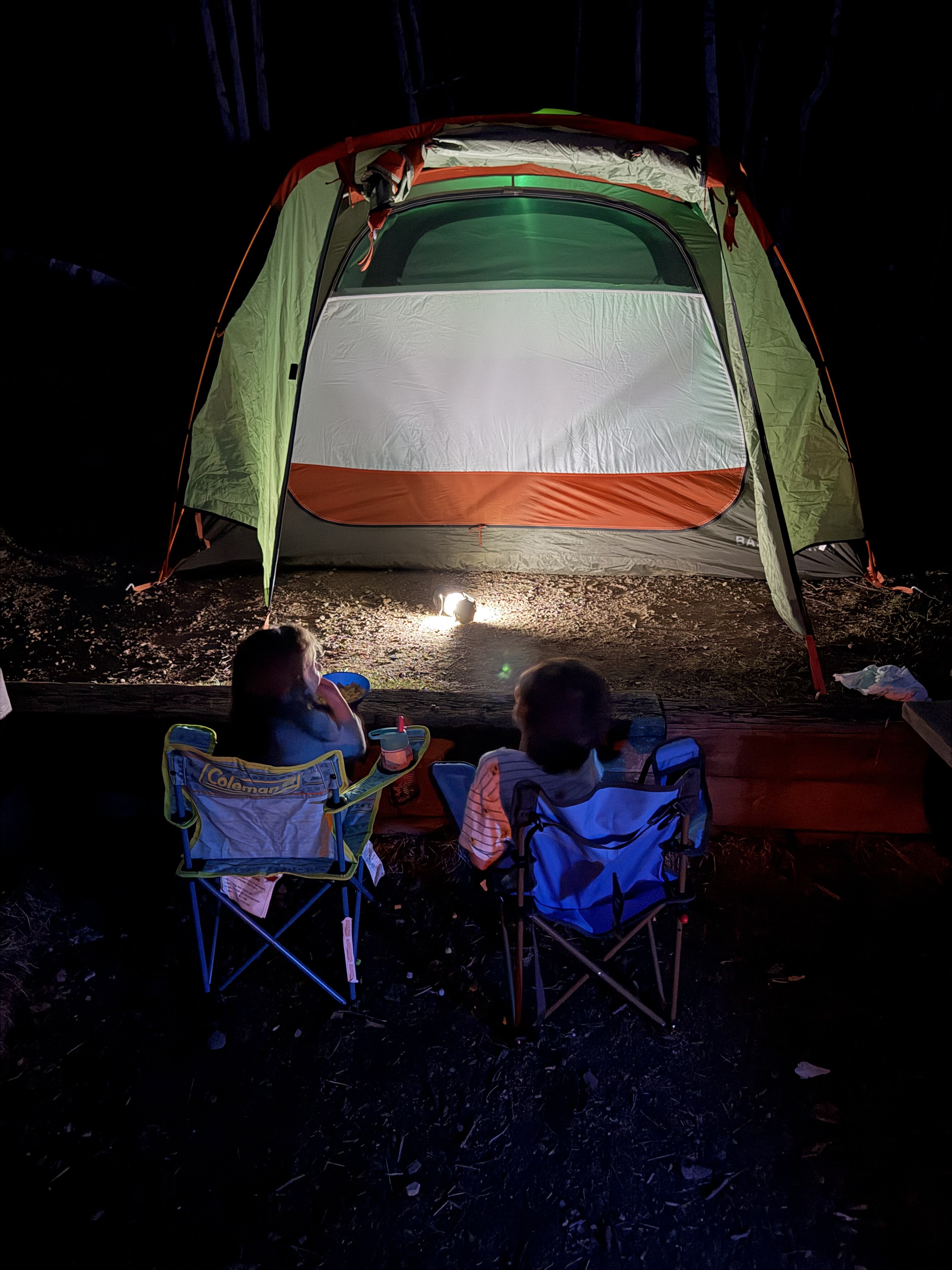
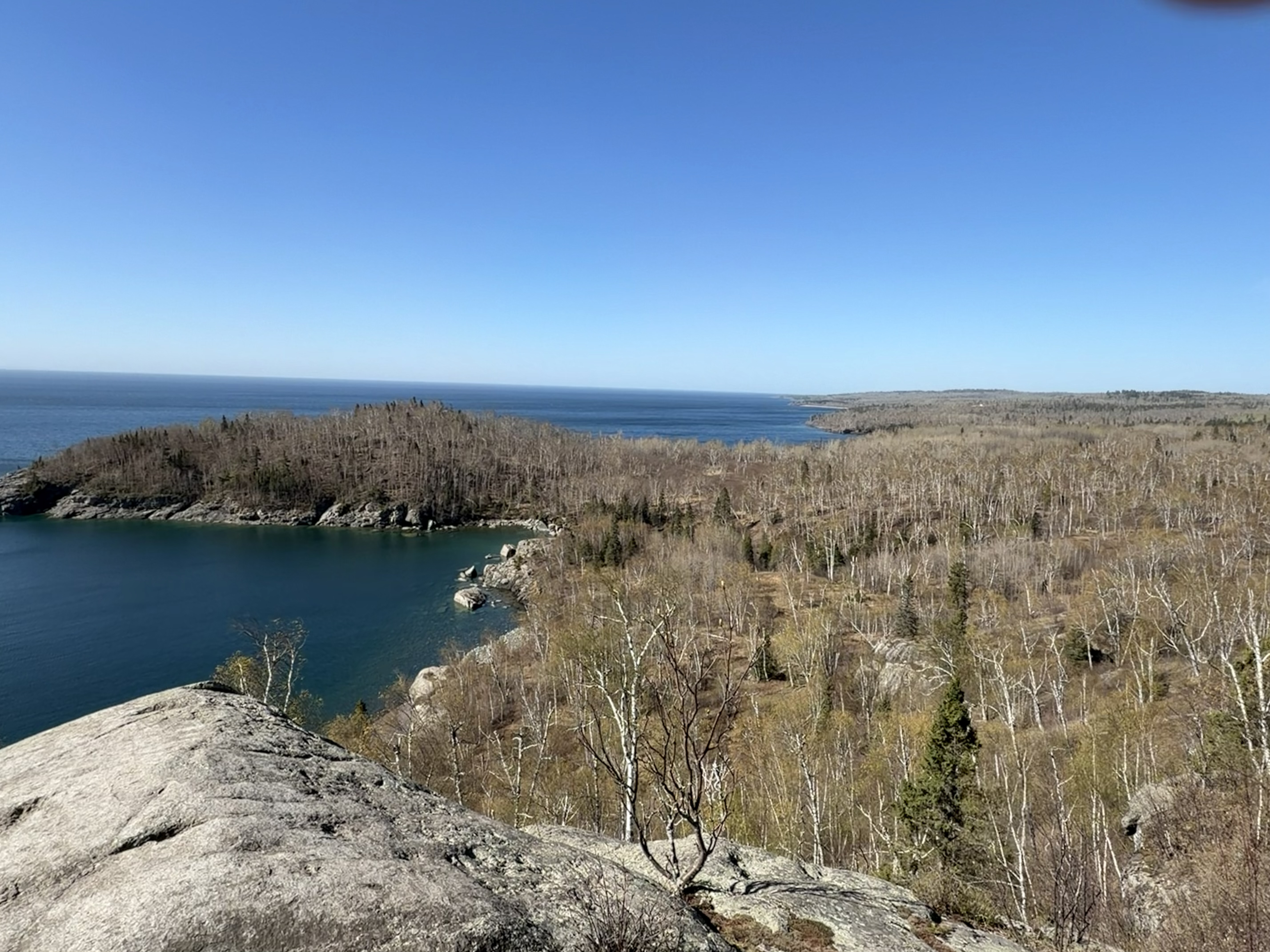
Couple pictures from our spring sojourn up north this past weekend.


- 306 replies
-
- 10
-

-
MSP picked up 1.15” of very much needed precipitation yesterday. 2026 total stands at 7.88” Thats 14.6% of our year to date precipitation.
-
38F at 6am when I woke up and left the tent to relieve myself at Split Rock Lighthouse State Park. 42F around 2pm in Duluth letting the kids run around the Lake Superior Maritime Museum in Canal Park. 70F around 5pm when we rolled into the driveway in Minneapolis.
-
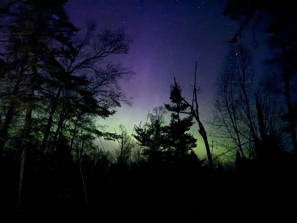
Faint aurora over Gitche Gumee last night.
-
Just had a heck of a detour but made it to our campground. First time I’ve been personally impacted by wildfire like that
-
80 today. Blowing dust west of town. There have already been several blowing dust advisories this year. Seems like more than any year in the previous 15 but I might have recency bias.
-
Hey @Brian Dhows greenup coming along up your way? Taking the family camping in your neck of the woods near Split Rock Lighthouse this weekend.
-
Beautiful benign weather in the Twin Cities but it’s dust bowl dry here. 0.02” of precipitation so far in May and only 6.71” since January 1.
-
Surprised how widespread the frost was this morning. Drought concerns starting to creep into this area if we don’t get some rain soon.
-
33 at MSP. Widespread frost
-
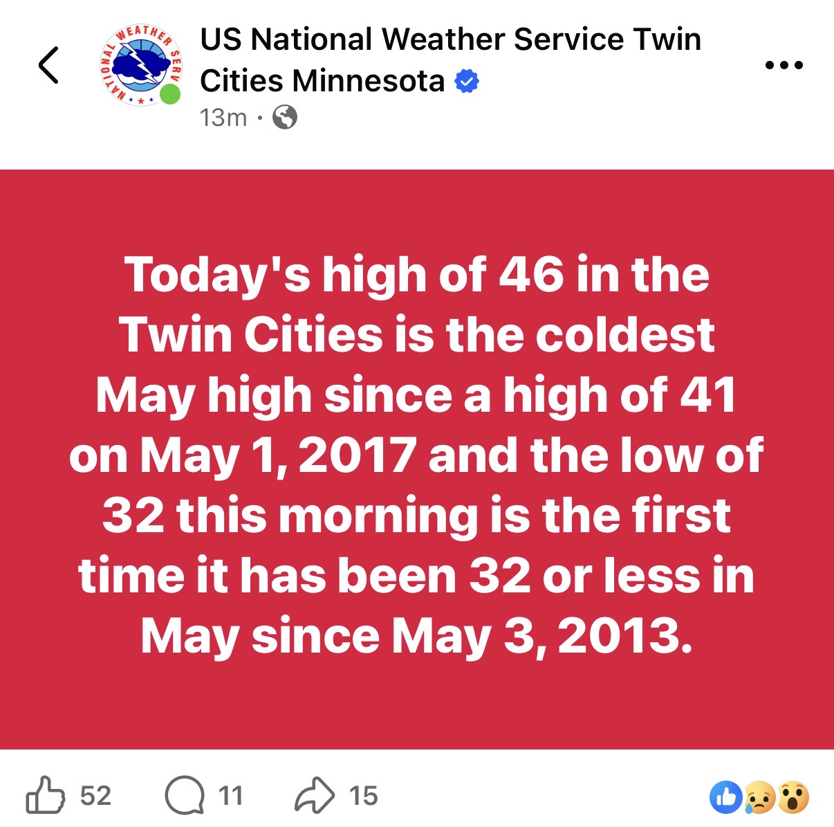
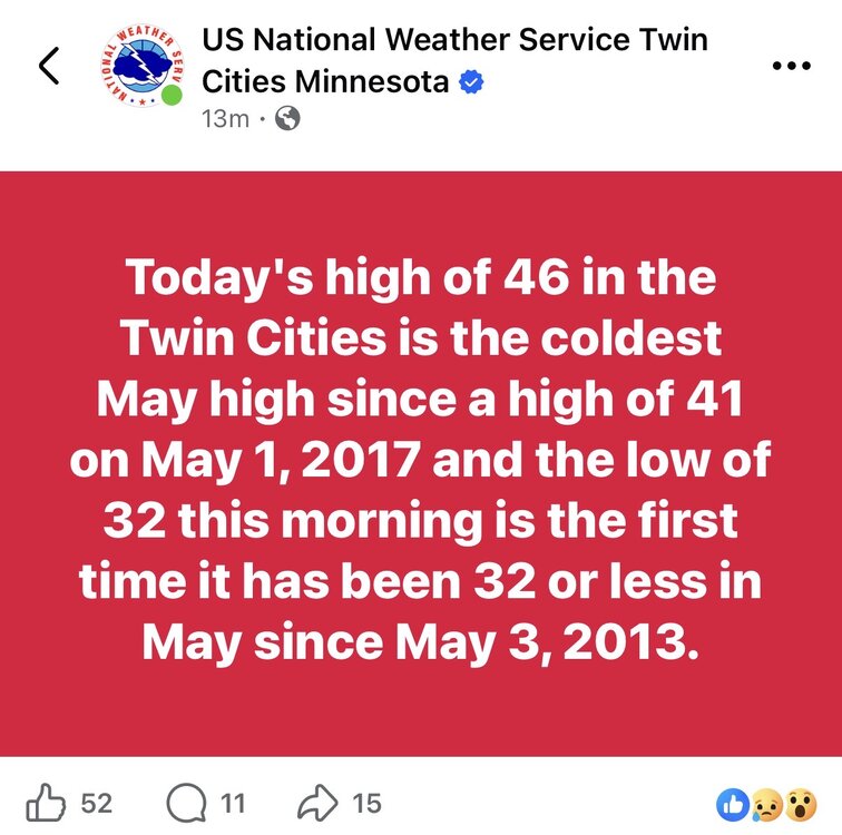
Surprised by both these stats the NWS just put out.
-
MSP got down to 32 this morning. Very likely our coldest morning until October.
-
Chilly but dry, beginning to need some moisture here and the extended doesn’t offer much hope. High of 52 today, maybe the last frost of the season tomorrow morning.
-
Patchy Frost this AM. Beautiful spring day on tap
-
Patchy frost to end the month. 3.25” of precipitation in April at MSP
-
1.14” of precipitation here yesterday. Would have liked more but this was a welcome rainfall. Temps look average to slightly below average over the next week locally.
-
Steady stratiform rain all day. We needed a good deep soak, could use more but this is a great start. Got soaked at work and didn’t mind one bit. Now my grass might start to grow.
-
Picture perfect April weather after the precipitation fail here yesterday. Low 60s and a deep blue sky. MTD Precip MSP: 1.96” YTD Precip MSP: 5.40”
-
Skunked again. Bummer
-
86 here today. Warmest day of the year by far. Hopefully we can get some good storms tomorrow to get the perennials going, then back to normal with 50s/60s in the extended.
-
MSP picked up 0.1” of snowfall yesterday morning bringing the season total to 48.6” this is likely the last snowfall until October.
-
Dusting of snow on elevated surfaces. Winters last gasp.
-
Picked up 0.11” of precipitation yesterday. Frosty morning low of 30