OrdIowPitMsp
-
Posts
2,791 -
Joined
-
Last visited
Content Type
Profiles
Blogs
Forums
American Weather
Media Demo
Store
Gallery
Everything posted by OrdIowPitMsp
-
Today was fun. 79 at MSP

- 299 replies
-
- 11
-

-
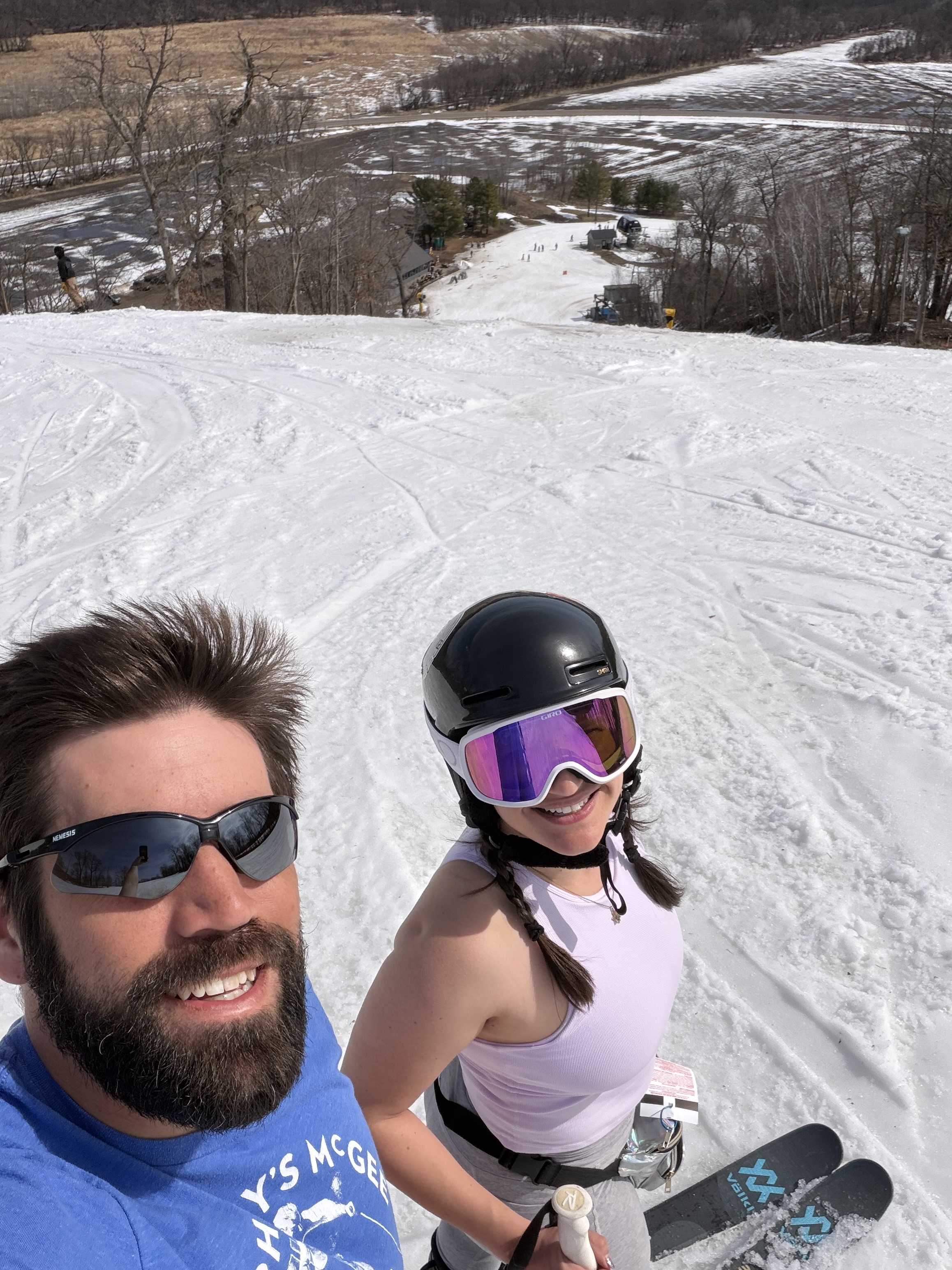
Point forecast of 76 today. Closing weekend at the ski hill. Gonna enjoy the slush and sun! Wish I had a good costume or something outlandish to wear. Our friend is going to ski in a poop emoji outfit.
-
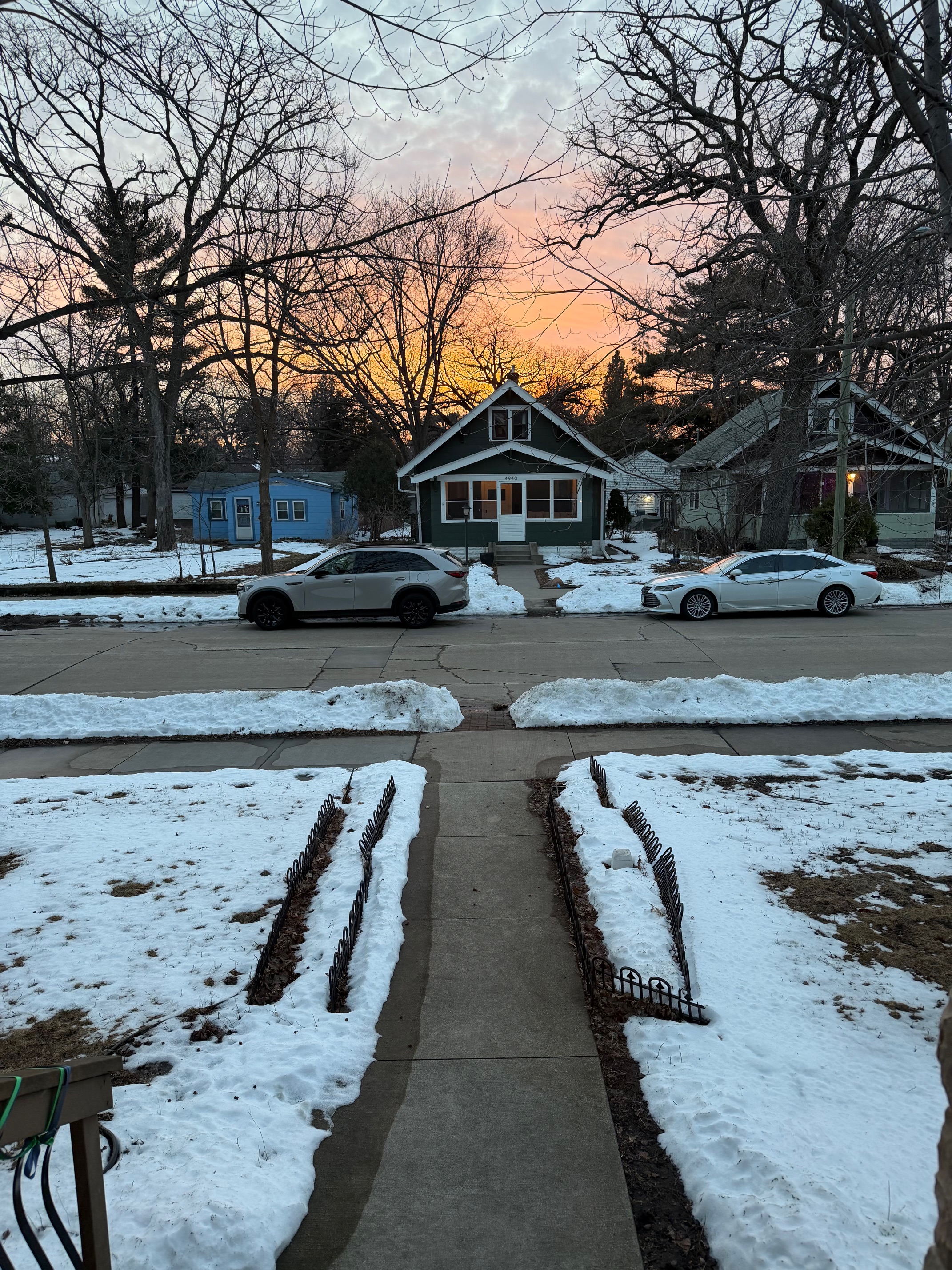
Stayed very mild overnight. 60 today, mid 70s tomorrow. Nice sunset out the front door last night.

-
52 at MSP. Forecast was right on target here. Snowpack has taken quite the beating today.
-
7am snowdepth down to 3” Today is likely the last day of 1”+ snowcover at MSP for now. There have been 89 days of 1”+ snowcover this season. Average is 100
-
Saturday March 20th has an absurdly low record high of 66 in Minneapolis. Mid/upper 70s in the days surrounding. I think we tag 70 and I’ll be on the ski hill for closing weekend.
-
0.9” of snow last evening at MSP. 48.5” season to date
-
Wife has a coworker who lives in Marquette and shared this pic.
- 716 replies
-
- 11
-
-
The 8.8” of snow at MSP contained 0.75” of water content for a SLR of approx 12:1
-
Air temp of 1. Heat Island kept us above zero, but still very cold for the second half of March.
-
14-16” reports down in Red Wing where my ski hill is. Think I’ll “work from home” today…
-
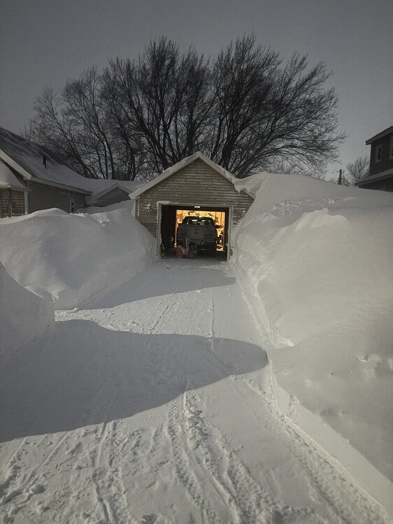
Low of 6F Snow depth 8” 1-3” coming tomorrow We are so back…
-
At least those totals verified, albeit further south. It annoys me a lot more when the models put out big numbers and then dry up right at showtime. Next snow event less then 48 hours away!
-
8.8” storm total at MSP. one last burst of moderate snow rotating through now. We’ll see if it adds anything. 12-14” reports 10 miles south.
-
It has snowed all afternoon as modeled with visibility between 1-2mi. I have noticed shoveled/plows surfaces have stayed wet instead of accumulating new snow and there has been compaction elsewhere. Spring.
-
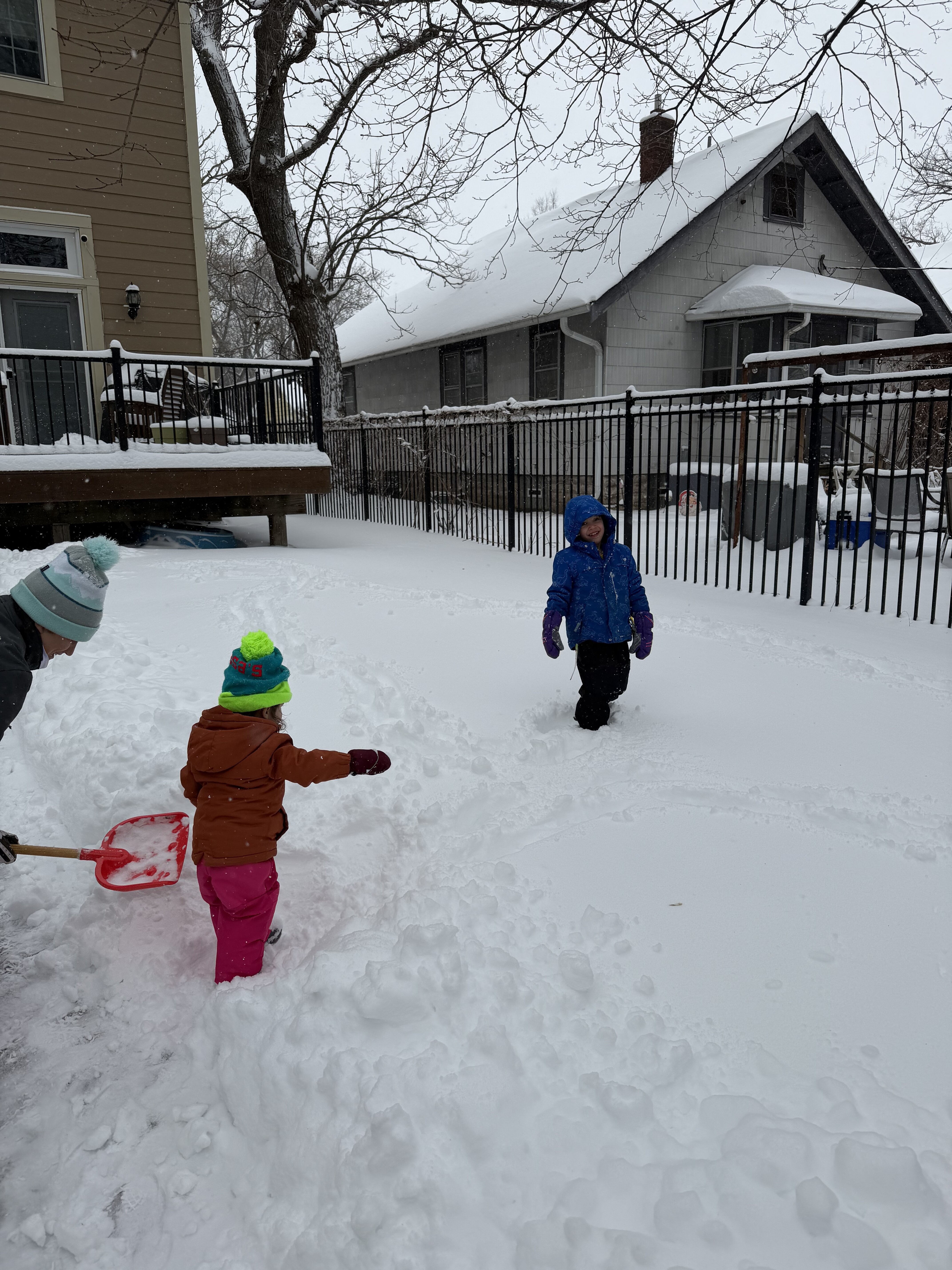
I’m definitely disappointed we missed out on big dog numbers. It looks like 10-14” totals in the southern burbs a few miles south of the airport, but this has still been a quality storm. Snowing all day and top tier time outside with the kids.
-
MSP was at 8.5” as of 1pm.
-
Yeah bit of a bust in the metro as the most intense banding ended up ~75 miles south where 20”+ totals are verifying. Still a really high quality storm here at least, we’ll see what the afternoon brings.
-
Got to hand it to the GFS. Nailed the placement of the jackpot zone many days ago. Today is going to be a lot of fun.
-
Sister-in-law who lives in San Fransisco had her first kid a month ago and we are visiting them in early April. For their sake I’m hoping it’s 50s and rainy, but it’s the very end of the rainy season so a heat dome looks more likely. We have a place rented on the beach in Half Moon Bay, kids are gonna love the tide pools.
-
That jives with what I’m measuring 1-2mi north of the airport.
-
Round 1 of shoveling I measured 7-8” depending on the spot. 12” storm total definitely still in play.
-
Yeah it’s ripping right now. We still have 10+ hours to go according to the HRRR