OrdIowPitMsp
-
Posts
2,790 -
Joined
-
Last visited
Content Type
Profiles
Blogs
Forums
American Weather
Media Demo
Store
Gallery
Everything posted by OrdIowPitMsp
-
There was soaking rain over much of Alberta the last few days. I believe it tampered things down in the source region of the smoke.
-
UHI kept us in the mid 50s but dews dropped into the 20s last night. Perfect summer weather, breezy and low/mid 70s yesterday and today.
-

Spring 2023 Medium/Long Range Discussion
OrdIowPitMsp replied to Chicago Storm's topic in Lakes/Ohio Valley
Native tallgrass prairie plantings are much more aesthetically pleasing then Kentucky Bluegrass imo. Not to mention lower maintenance. -
Spring 2023 Medium/Long Range Discussion
OrdIowPitMsp replied to Chicago Storm's topic in Lakes/Ohio Valley
Drought talk starting up here as well. Third summer in a row. -
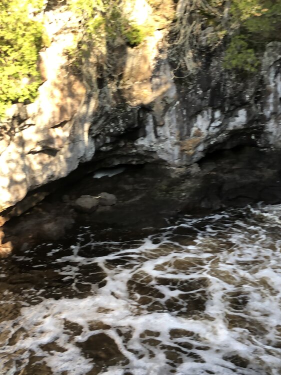
My car thermometer bounced between 50-52 from Tofte to Duluth. It was up to 79 by Moose Lake. I figured there could still be patches of snow in the higher terrain away from the lake but wasn’t expecting to see any snow/ice in the Temperance River gorge only a hundred feet above the lake.
-
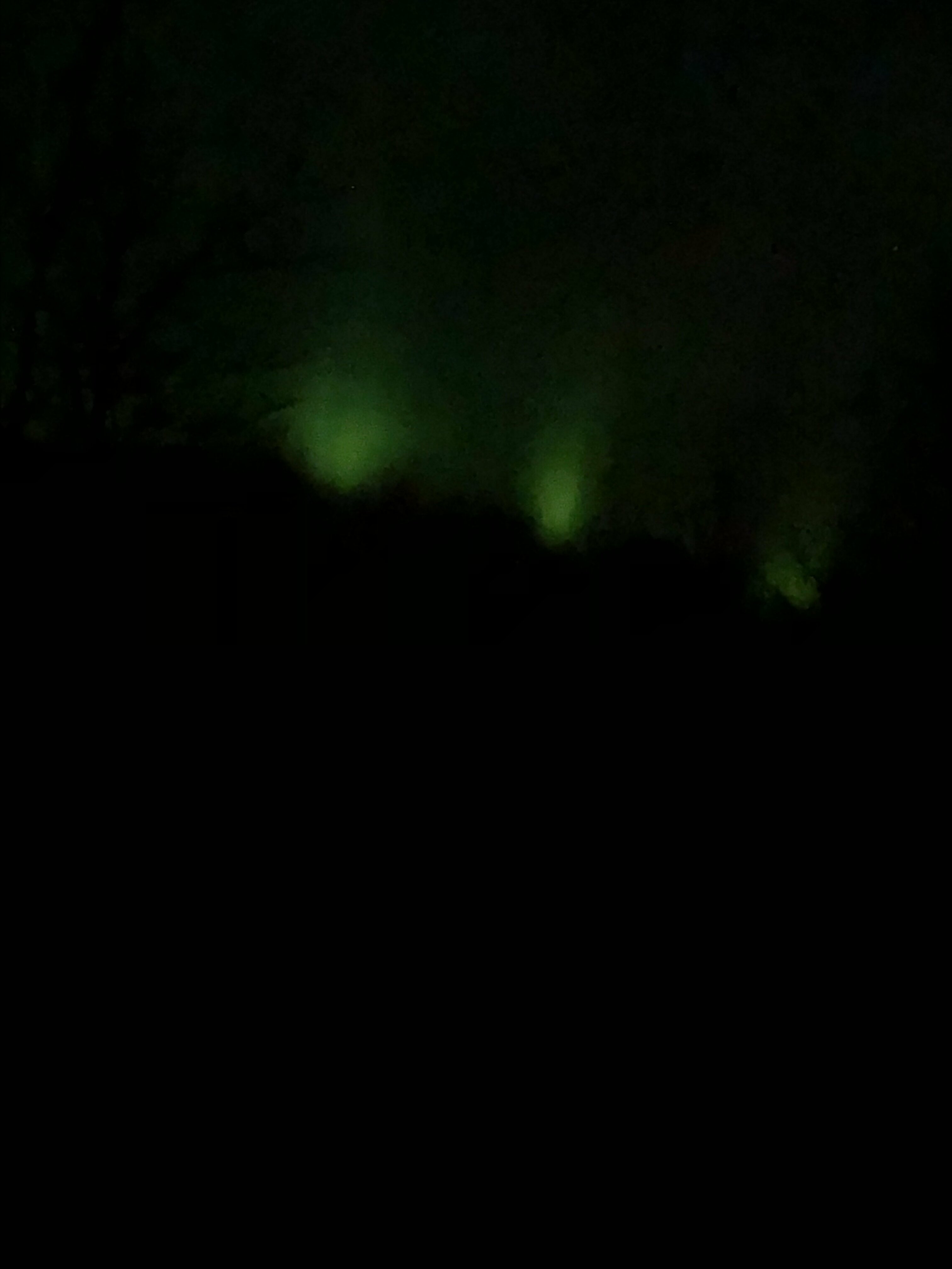
Camping along Lake Superior near Tofte Minnesota this weekend. The trees haven’t begun to leaf out yet and the grass has barely started growing. We got a treat last night when the northern lights paid us a visit. Now the little one is awake at 5am so daddy gets to watch the sunrise over the big lake they call Gitche Gumee.

-
Much better air quality today. Still some smoke aloft but significantly better then the last few days. Heading up to the north shore of superior this afternoon for the weekend.
-
Now I can smell it.
-
Smoke has made it to the surface here in Minneapolis. Airport reporting 2mi visibility with smoke. Not smelling anything but I’ve been outside all day so I might be noseblind right now.
-
Cold front blasting through now. Should mix the smoke down to the surface, I’ll give a smell report later on.
-
Spring 2023 Medium/Long Range Discussion
OrdIowPitMsp replied to Chicago Storm's topic in Lakes/Ohio Valley
We really are gonna snap back from near record wettest winter to severe drought again aren’t we. -
We’ll keep the smoke, you keep the heat and humidity.
-
Only made it up to 67 after a forecast high of 76 due to all the smoke today. With the cold front tomorrow it might mix down to the surface here.
-
Crisp smoke filled sky this morning. Had a beautiful red sunrise.
-
Kinda ended up being an overcast day with all the smoke. I can’t remember seeing it this bad this early but nothing unprecedented. We did manage to get up to 81 today. Backdoor cold front coming tonight will cool us off some.
-
Nice rainy weekend here, cool temps and needed moisture. Today looks warm, probably break above 80 degrees. Wildfire smoke from Canada is really noticeable today. We’ll see how thick it gets. Air quality alerts just north of here. Too early for this.
-
Fully aware I’ll adjust and think this is nothing come July. It’s great for leisure right now, but working in it stinks. We’ve had the windows open in the house and it’s been wonderful all week. It would be an endless circle of complaining. Sounds lovely!
-
It’s 75 but dews have reached the low 60s. I’m miserable
-
High of 79 today. I’m hoping we get some decayed storms to limp over here overnight.
-
No thanks, perhaps if it comes with convection but please no more death ridge this summer.
-
SE Ohio huh? Not sure if we’ve discussed before but I spent three years out of college working the oil fields around St. Clairsville, Woodsfield and Steubenville.
-
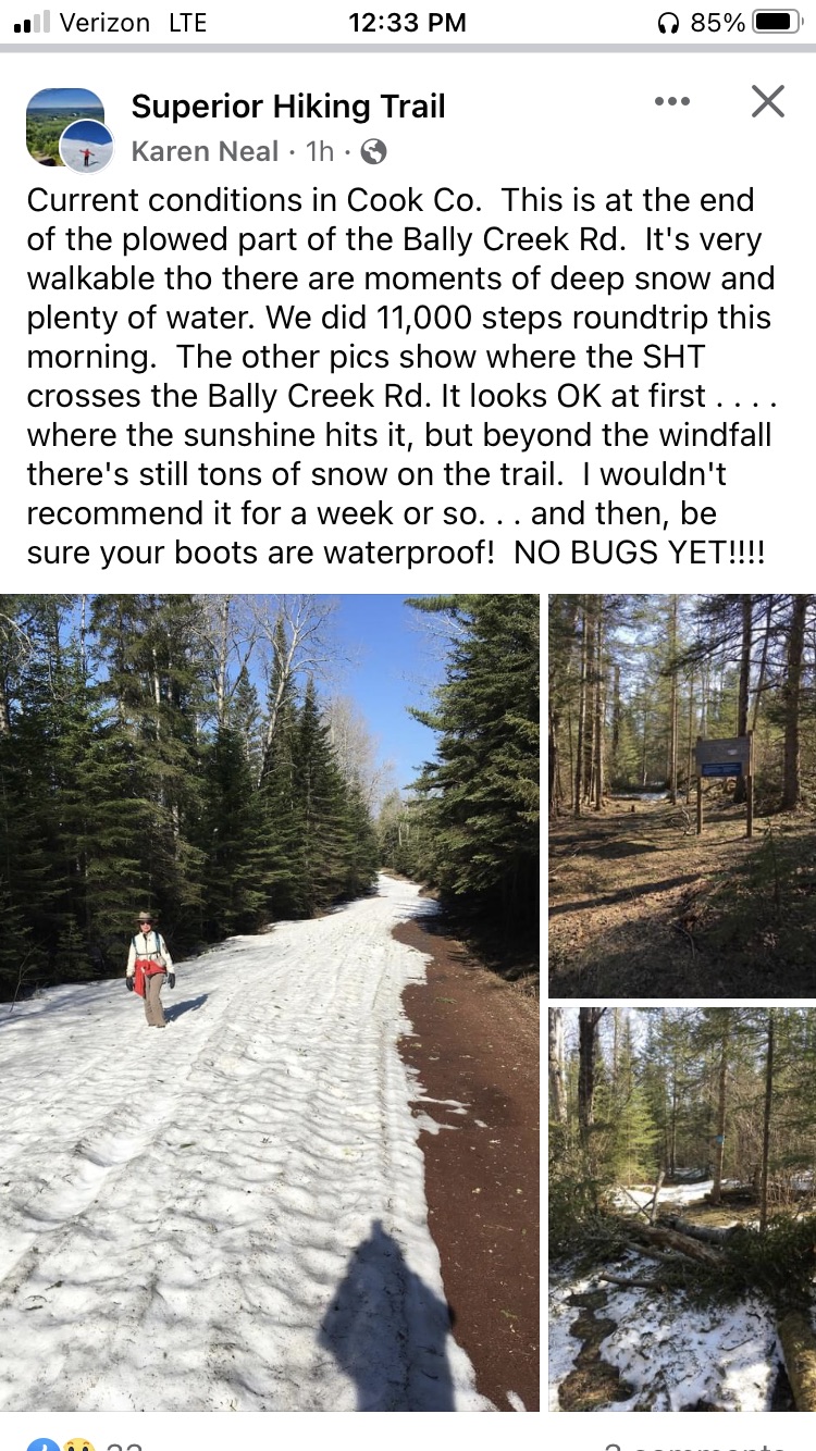
Update off of Facebook on conditions across the lake from Bo in northern Minnesota. Snow is hanging on in the high terrain away from the lake.

-
Very pleasant day with a high of 73 in Minneapolis. I think the entire neighborhood was outside.
-
Just beginning yes. The lakes on the MN/Canada border still have 20”+ of ice on them.
-
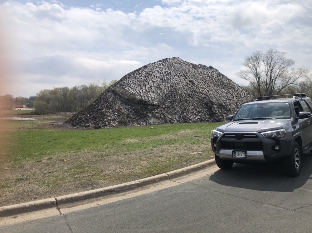
Glamour shot of my vehicle next to the massive snow pile near my office today.