

Coach B
-
Posts
288 -
Joined
-
Last visited
Content Type
Profiles
Blogs
Forums
American Weather
Media Demo
Store
Gallery
Everything posted by Coach B
-
March 11th-13th Winter Weather Event. Winter's last gasp?
Coach B replied to Windspeed's topic in Tennessee Valley
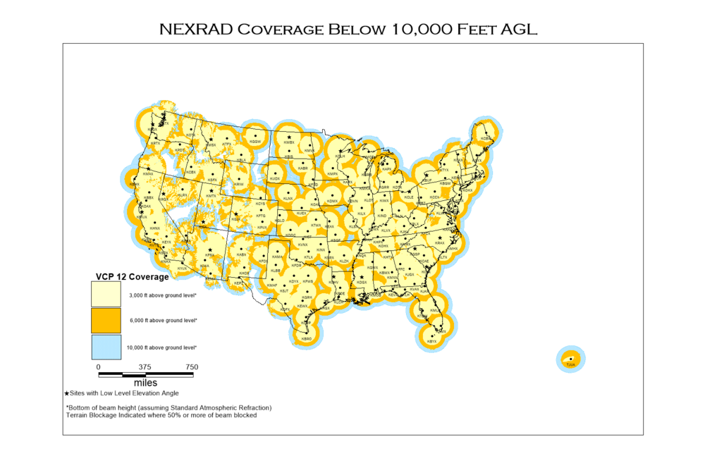
Jackson, KY radar looks great upstream for you! -
March 11th-13th Winter Weather Event. Winter's last gasp?
Coach B replied to Windspeed's topic in Tennessee Valley
I measured 3" on the snowboard but got some 4-5" measurements in the yard. This is one where the patio table and back deck measurements will probably be especially high because of all the snow blowing off of the rooftops. OHX only measured 2.8" but lots of 4-5" reports around Nashville. -
March 11th-13th Winter Weather Event. Winter's last gasp?
Coach B replied to Windspeed's topic in Tennessee Valley
Anafrontal snow. I think we had about the same thing on January 3rd. -
Came across this online today:
- 99 replies
-
- 7
-

-

-
- ice
- freezing rain
- (and 1 more)
-
January 28th-29th Clippers/NW Flow Obs/Last Minute Forecasts.
Coach B replied to John1122's topic in Tennessee Valley
Only had a dusting at the house, but it looked like half an inch just a couple miles away. HRRR and NAM 3K nailed the idea of minor accums from the streamers in middle TN. -
The January 84 dates coincided with a 3.5" snow in Nashville that laid on the ground for over a week due to a major cold shot that included four days in a row with below 0 lows! The double weighted February 97 dates were nothing to write home about though.
-
I did some rudimentary monthly snowfall numbers for Nashville several years ago. While January was the snowiest month, it was only a slight edge. So slight in fact, that if you divided the monthly average by the number of calendar days, that February actually averaged slightly more snow per day. It just likes to snow in February even though the average temp is going up and days are getting longer. I suspect it has to do with the longer wavelengths and slightly less chance of a cold and dry pattern. As far as the LR pattern, I'll let those of you who know more break it down. However, to me it looks like the trough wants to set up a touch farther west, which should give us more chances than we've had this week. Question is, will it set up too far west and give us rainy cutters that benefit Oklahoma and Missouri, or potentially give us a shot at some over running wintry precip followed by serious cold.
-
We've spiked well above forecast into the low 60s. Actually feels nice outside.
-
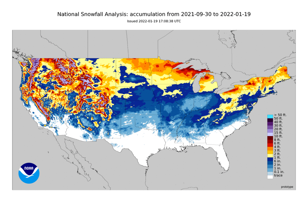
Can't complain at this point in the winter for most of middle TN based on this map. Looks like Oklahoma and the TX Panhandle along with much of Illinois and Indiana are the biggest losers.
-
It was almost ridiculously low for my area. It was so consistently low I questioned what in the world it was blending? Not any of the models I was checking.
-
Ended up with a little over 4". Elevation definitely helped.
-
I measured a full inch already here in Marshall county. It was absolutely dumping quarter sized flakes at 5:30. Unfortunately it has switched back to rain. Kind of surprised that it flipped back after pouring heavy snow.
-
HRRR has been giving me near foot totals here in Marshall county, yet the NBM is showing less than an inch. I have no idea what it's blending, but it's not any of the models I'm watching. The fv3 and see of the SREF family is really low, maybe that's it.
-
Excellent shift to the south for southern middle and much of east TN.
-
Amen to this. Although for all of us in the less than perfect locations off of the Upper Cumberland I'll take a 2" all snow event over the risky mix or 4"+ gamble.
-
Finished with 5.5" on the snowboard. Power is still on, but it's touch and go.
-
Official forecast was 1-3. I'll be surprised if there are not some 6" jackpots in southeast middle TN.
-
According to Google maps, everything south and east of Nashville is slow, including the interstates.
-
Just saw a picture of 5" on the Marshall/Lincoln county line. It was still snowing.
-
I'm closing in on 3" here in southern middle TN. Scattered power outages showing up as well!
-
Still ripping here just outside of Lewisburg. Have to be close to 2" with all surfaces covered. Haven't been out to the main road, but the driveway and sidewalk are white. Temp down to 30.6
-
Here in southwest Marshall county I've got all snow with a temp of 32.5. Just measured .5" on the snowboard.
-
HUN just upgraded to a WSW as well!
-
Could be a combination of both. If you look closely at the 12z HRRR accum map, there is a bit of a gap in middle TN as well. Just like always, there is going to be winners and losers based on elevation and where the bands develop.
-
My temp has dropped into the upper 50s with steady rain in S mid TN. Sure doesn't have the severe feel??


