sbnwx85
-
Posts
1,927 -
Joined
-
Last visited
Content Type
Profiles
Blogs
Forums
American Weather
Media Demo
Store
Gallery
Everything posted by sbnwx85
-
Round 2
-
Lightning strikes nearly 20 miles from any precipitation. Very cool. Should get a great light show in about an hour.
-
Anecdotally, the last three Springs have been very active in terms of severe weather in my neck of the woods. I'm more used to Spring and storms arriving regularly until May. It's been another delightfully active and (mostly) warm Spring again.
-
I’m heading to Chicago Thursday for C2E2. Not much worth chasing and not interested in getting hailed on. I’m hoping to either arrive before storms initiate or wait it out and leave late. Either way, not super excited about this one after having a couple tornadoes in my CWA already this Spring. #TwistersOrBust
-
I pulled the snow stick out of the yard, so there’s your dagger.
-
I was gonna post a picture of the 2" I got but nvm
-
It’s been snowing off and on all day but only about a half inch on the ground.
-
I worked at the ABC affiliate in Springfield 10 years ago. It’s such a huge market in terms of area that you’re almost certainly going to upset some group of people. We had to cut into the NBA Finals one year for a Tornado Warning. We were able to double box the game and severe weather coverage. People didn’t love it but seemed to be somewhat understanding. At my current shop, we are a CBS/Fox affiliate with two separate channels. Last spring we did short cut-ins during the Elite Eight and continuous coverage on Fox during a derecho. There was considerable damage across the entire DMA so people were actually really appreciative of our coverage. One lesson we learned from the ABC affiliate in South Bend several years ago is to not cut in for a Tornado Warning during the last five laps of the Indy 500!
-
Trying not to get HRRR’d but I think many places in the lake snow belts get 6+” of LES tomorrow through tomorrow night. Combined with the winds gusting 40 to 45 mph we may see an upgrade to WSW with 4-7”.
-
One for the archives.
-
Rogue cell popped up and a cg just scared the crap out of me and the dogs
-
let’s gooooo
-
South wind really started picking up in the last hour. Gusting between 40-50 mph. Temp is up to 64.
-
Picked up a surprise inch of snow. Season total at 76.5”.
-
Kind of ripping under this mini band.
-
Def going to end up with Wind Advisory followed by Winter Weather Advisory. Might sneak in a Severe Thunderstorm Warning in between.
-
SBN’s top gust was 68 mph today.
-
Love where I sit for this one. Severe threat for damaging wind and a spin up Sunday night followed by 2-5” of snow (maybe more… we’ll see how hi-res models handle LE) on Monday/Monday night. This may upgrade my winter rating from A to A+
-
Lost power for a couple hours this morning. SBN peak gust of 59 mph.
-
I still like where I sit with the 6z euro. It is a tough look for Iowa but keeps NE IL, NW IN and SW MI in the game for a few inches of wind driven snow. I’ll be the lone positive vibe. Going to be a fun system. Slight risk of severe weather on Sunday followed by potentially near-blizzard conditions on Monday. Let’s go!
-
Lake response looks impressive. I think we can manage at least a Wind Advisory/WWA Advisory combo in N IN/SW MI. Maybe a WSW if things go well.
-
This got me thinking... we haven't had a HWW in a while in St. Joseph County. Turns out it's been the first one issued here since November of 2019!
-
Palm trees gonna get blown away. Pity.
-
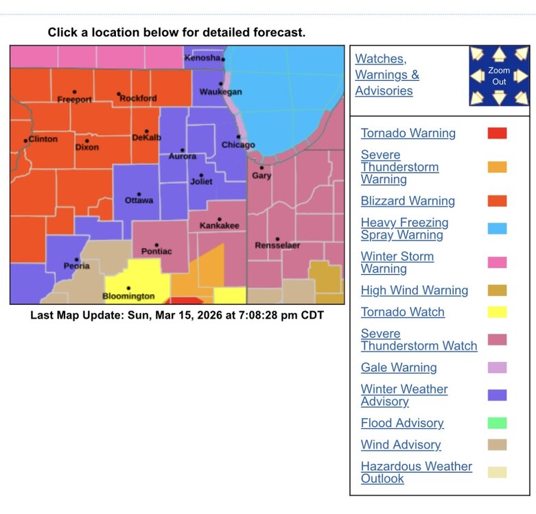
Killer tornadoes, Moderate Risks, record warmth, flooding, High Wind Watches, more tornadoes?, a blizzard, a flash freeze, and Leprechaun’s that look like Farrah Fawcett.

-
Goodness gracious. This is shaping up to be one of the most memorable Marches (March’s?) in quite sometime in the lower Great Lakes.