-
Posts
3,518 -
Joined
-
Last visited
Content Type
Profiles
Blogs
Forums
American Weather
Media Demo
Store
Gallery
Everything posted by Daniel Boone
-
That looks 1960ish Winter like.
-
It was incredible.
-
Same here. All but 2018 were great.
-

January: Medium/ Long Range: May the Force be with Us....
Daniel Boone replied to Weather Will's topic in Mid Atlantic
If the blocking is realized and a 50-50 manifests that should place the Trough further West. -

Fall/Winter Banter - Football, Basketball, Snowball?
Daniel Boone replied to John1122's topic in Tennessee Valley
As tiny Tim said, Merry Christmas and God bless Everyone ! -
The Typical Plains/Midwest Nina Blizzard is going to be displaced 500 Miles SE this Winter. I called it first !
-
Yeah, I can't really find anything or anybody that knows about any update to the GFS over the last Year but, it sure is acting like something was done. Merry Christmas Jeff !
- 409 replies
-
- 3
-

-

-
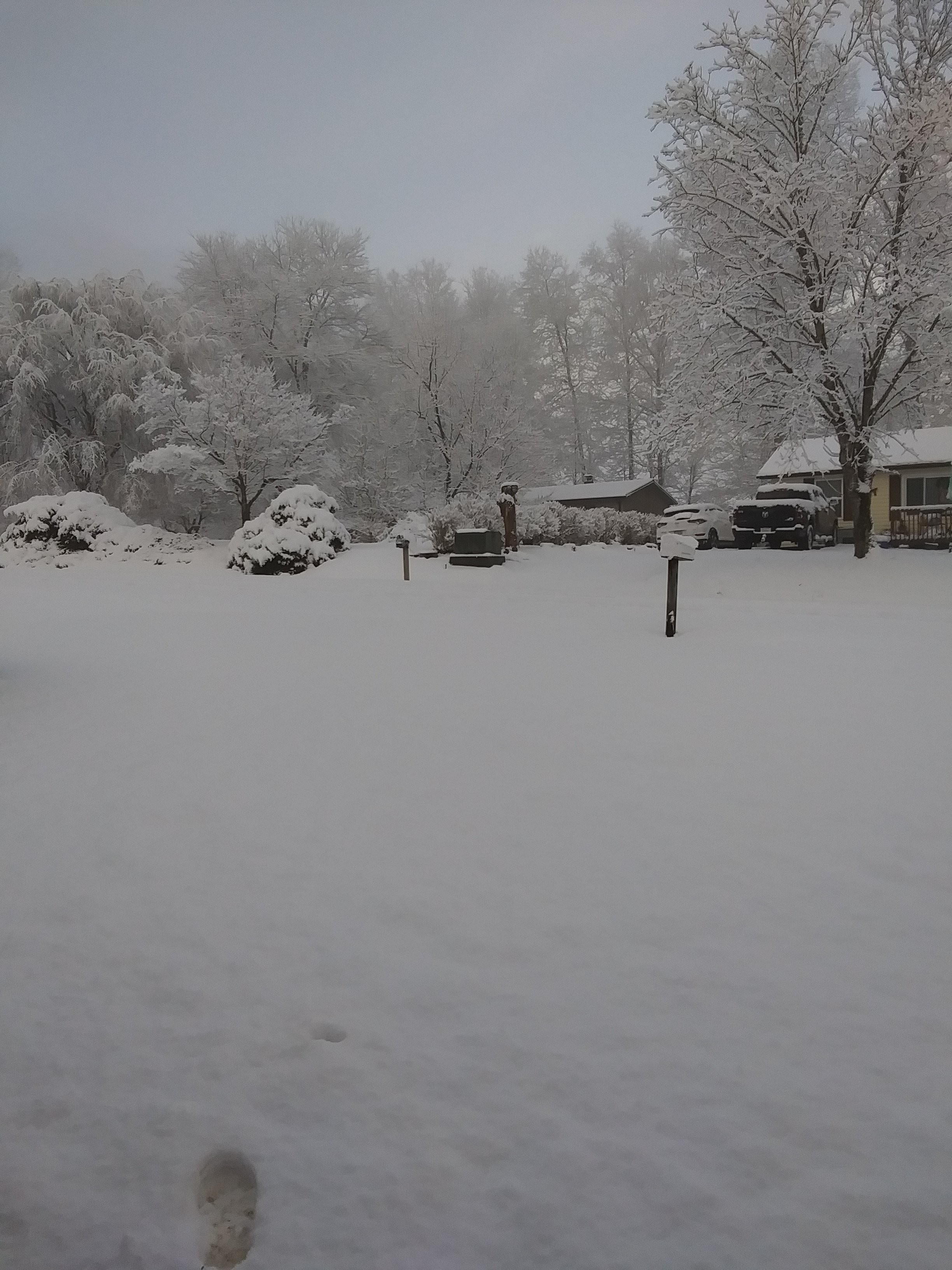
4.1" . 2.7 of that Nov. 21-22.
-
Yeah, that's what I was alluding to earlier regarding it sending out pieces of energy taking the low Road. Sliders. Sometimes they can spin up Gulf Lows as well. Used to happen in the 70's fairly regularly.
-
Wouldn't that be a Snow Lovers paradise !
-
The concern is definitely legit as we've all witnessed and discussed many times. I hate when that happens as many times a System just bowls down into that area over and over continuously pulling the Trough back. Hopefully, that doesn't happen. Other Model Suites should start showing some semblance of the possibility in the next few Day's if the GFS is onto something.
-

Mid to Long Range Discussion ~ 2024
Daniel Boone replied to buckeyefan1's topic in Southeastern States
Hopefully the GFS is being GooFuS. -

Mid to Long Range Discussion ~ 2024
Daniel Boone replied to buckeyefan1's topic in Southeastern States
MJO Ph 6 stall. GFS keying on that. -

Mid to Long Range Discussion ~ 2024
Daniel Boone replied to buckeyefan1's topic in Southeastern States
Yeah, it's likely seeing the MJO stalling in Ph 6 and crawling into 7 later. That's what it's solution looks like. If it were to be right, it's shut the blinds for a long while. -
Yeah, the GFS is likely "thinking" the MJO is stalling in p6 and gradually getting into 7 later. That's what it's output's look like to me.
-
You've hit on what the problem is I believe. I think the GFS incorporates the MJO as one of it's top "Ingredient" ( can't think of the proper word so..lol) in it's Medium Range Equations.
- 409 replies
-
- 2
-

-
Yeah, it's as if it traded places with the Euro in holding energy back in the SW. As you alluded to, that can and does happen sometimes. Hopefully it doesn't and if it does, blocking will still keep us in the Trough and that could act as a southern branch feature spitting disturbances along the low Road. That works out good sometimes too.
- 409 replies
-
- 2
-

-

Mid to Long Range Discussion ~ 2024
Daniel Boone replied to buckeyefan1's topic in Southeastern States
Lr uses enso greatly but, medium I don't think so. It's output does look nina though -
That western ridging tendency is what I like too buddy. That's one of my reasons I believe January will be a cold one overall . There's still that worry something akin to late December 1989 occurs. +PNA November and December. The Ridge suddenly got shoved East at the very end of December and never returned West. I don't know if there was any real concrete proof of what caused a wholesale 500 mb shift that never went back really at all. Although, it did by April as I recall several elevated Snowfalls then. Hopefully, everything pans out for us.
- 409 replies
-
Yep. I remember that Study by Wes. Miss him posting regularly. He's one of the best.
-
Good, unbiased work as usual Larry. Much appreciated!
-

Fall/Winter Banter - Football, Basketball, Snowball?
Daniel Boone replied to John1122's topic in Tennessee Valley
Yep. Kalikimikimaka (sp.?) is Hawaiian's way of saying Merry Christmas to you. Lol -
Yeah, 12z GFS went to a Cutter. Not surprised as it'll probably throw out every possible Solution until Game time. I'm not getting my hopes too high and being completely confident until around the 28- 30th or so and 80% of all Ensemble Members are showing the near perfect Pattern, as have been burned too many times. Not being a Debbie downer just a Realist. I do think we are in for a colder January than we've had in quite some time but, still may be back and forth. If blocking does materialize then those extended very cold / snowy solutions may very well verify. The +QBO is what has me skiddish irt that however.
- 409 replies
-
- 3
-

-

December 2024 Observations
Daniel Boone replied to WinstonSalemArlington's topic in Southeastern States
33 for the high here. Pretty cold but not unusual. -
Yeah, hopefully things come together and we wind up with a snowier than Average Winter for a change. Just lioking at Radar, had the Trough been 100-150 Statute Miles further west we'd still be getting a barage of lake enhanced Snow Showers. Upon second thought, lol, really, had the storm off the coast developed further West we'd be getting that. Of course one could argue the point that that's a product of too far esst Trough.
- 409 replies


