-
Posts
3,518 -
Joined
-
Last visited
Content Type
Profiles
Blogs
Forums
American Weather
Media Demo
Store
Gallery
Everything posted by Daniel Boone
-
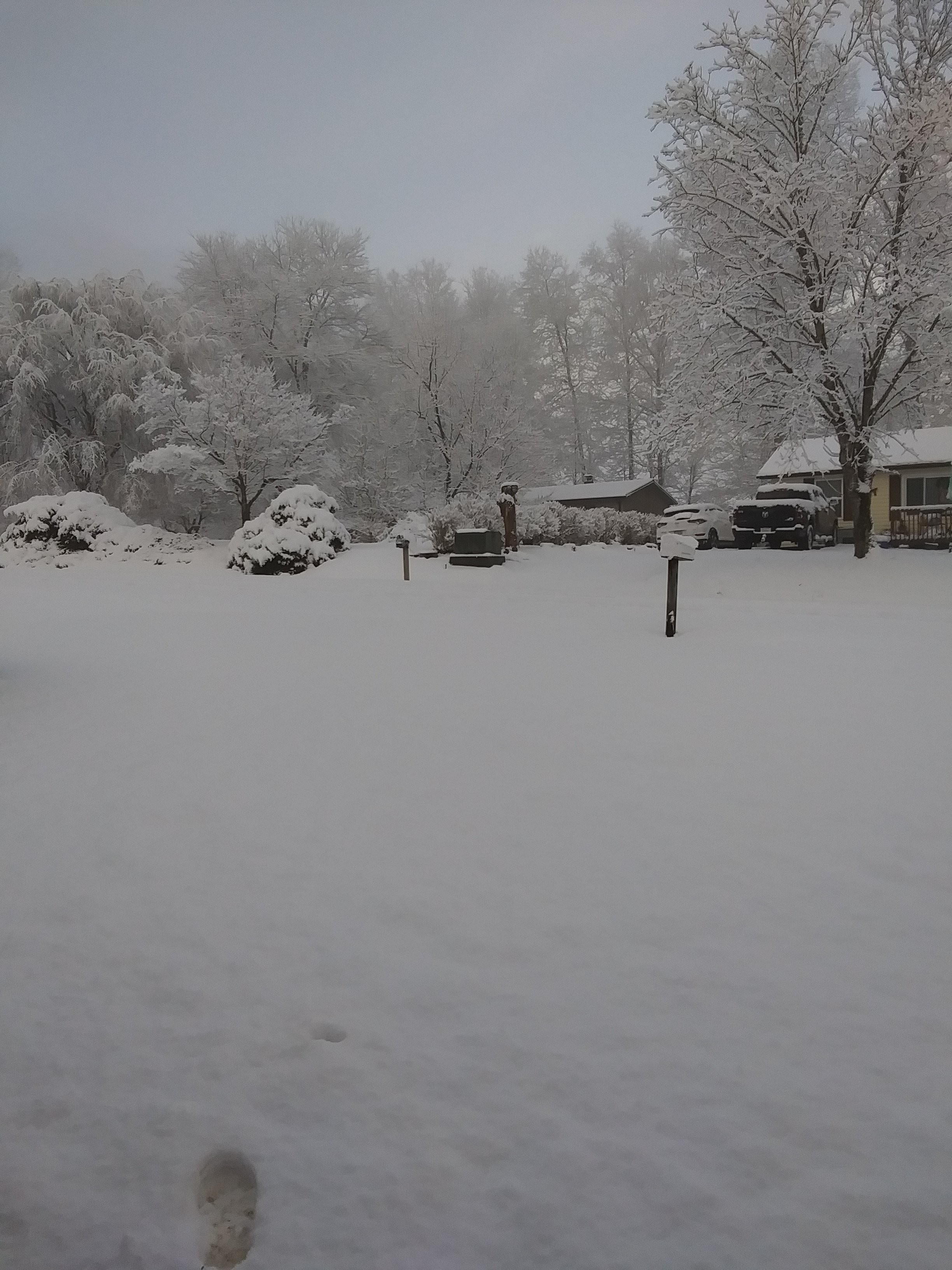
Close to an inch here now. Snow began about 8:45 and was heavy awhile as a half inch fell in 25 minutes. It started sticking pretty much from the get go.
- 207 replies
-
- 2
-

-
- obs
- light snow
-
(and 2 more)
Tagged with:
-
Latest NBM has backed off on amounts for Tomorrow. There appears to be a slight trend North with it. We wanted a southerly one. RAP is clearly evident. More widespread 2-3" amounts cover more of Kentucky, now back to Central Ky.. SREF same deal except more widespread 1-3" area extending Northward into Ohio. Hopefully, the area will expand further SE again but, I wouldn't bank on it.
- 207 replies
-
- obs
- light snow
-
(and 2 more)
Tagged with:
-
I just do like you did and post Link. Carver's figured out how. Wonder where he's been today ?
-
Have had Snow on north facing slopes since Jan. 3rd.
- 207 replies
-
- 7
-

-
- obs
- light snow
-
(and 2 more)
Tagged with:
-
Pops a big SER. Extremely positive NAO too !
-
Yeah, you're looking great up there. Some Models showing 6+ there.
- 207 replies
-
- 3
-

-
- obs
- light snow
-
(and 2 more)
Tagged with:
-
Wwa up for here as well. Rap looks good for area. As usual the HRRR showing it's flaws. Nam looks suspect for it for whole area. Hopefully the Low forms a bit further South and intensifies rapidly and brings the heavier snow shield further South.
- 207 replies
-
- 2
-

-
- obs
- light snow
-
(and 2 more)
Tagged with:
-
All I know is the Soros Corporation recently bought several Media Companies. Whether they own that one i don't know. Why regardless, is anyone's guess at this point I guess.
-
Suspected that as still alot of Snow in Valley's in Northern Lee and Wise Counties. Surprised KMRX didn't put an advisory out.
-
It's been terrible in my area. So far it has underforecasted Snowfall amounts at close range here. I suspect bad reporting from the " official" NWS Observer Site's is at least partially responsible as that goes into the Model Ingest System. It tends to overdo downsloping as well as John has noted.
- 207 replies
-
- obs
- light snow
-
(and 2 more)
Tagged with:
-
They'll be some pretty hefty Totals in SC, NC and SE Virginia. Ratios will rise quickly once the Arctic air rapidly presses in.
- 207 replies
-
- 3
-

-
- obs
- light snow
-
(and 2 more)
Tagged with:
-
For the Sunday System, we either want ana development sooner and a bit east to put us in the eastern KY zone showing now or cold to slam in quicker and result in faster turnover. It looks as though the latter is what some Models are seeing as the problem east of the KY line.
- 207 replies
-
- 1
-

-
- obs
- light snow
-
(and 2 more)
Tagged with:
-
Yes, very plausible. If the MJO does as the Euro depicts particularly imo. I believe the Models LR are having trouble due to the MJO and Enso mainly. It seems the +TNH wants to keep reasserting. I think you hit on the main reason when you mentioned the change in the PDO. Argues for -EPO. Nina is weak so having trouble overpowering the Pacific.
-
Link says "not found" brother.
-

Historic Tennessee Valley Cold, Snow, and Ice Events
Daniel Boone replied to Carvers Gap's topic in Tennessee Valley
Agree 100% . Going back looking at Winters with similar H5 Setups and Temps, basically all had nore Snow at this juncture. Sad .- 138 replies
-
- 2
-

-
Yep, sure looks like it. Definitely need a Sargasso Sea HP in place while the Storm Trek's across the South to force it to turn.
-
Abysmal really. Thing is, if it even snows lightly all the hour's they mention in higher eles odds should be greater than what's shown.
-
In Carver's neck of the Woods now. Looks like around an inch in shades here now but rapid melting taking place. Those strong 40+ Degree Winds really eat away at it.
-
That's the way it is at home.
-
It was. Southern Indiana recorded over 30" in that pre Christmas one.
-
If we don't get anything Sat night/Sunday we could be looking at a frozen bare ground after what we got gets rained off Saturday. Wouldn't that be the ultimate bummer. May want to try to get some antidepressants to have on hand. Btw, just went to Big Stone gap and there's still 4-6 inches on North facing slopes and in the Shade !
-
We were fortunate with several decent Clipper Snows that Winter.
-
Bank on the severe.
-
As far as here in the eastern great Valley it has been stellar compared to the rest.
-
No. Usually very little wind with them.


