
Daniel Boone
-
Posts
3,553 -
Joined
-
Last visited
Content Type
Profiles
Blogs
Forums
American Weather
Media Demo
Store
Gallery
Everything posted by Daniel Boone
-
I see Reynolds on WJHL is apparently showing the 12Z GFS forecasted Totals.
-
15 to 20 inches of Snow here in Lee County from that one.
-
As was discussed yesterday, Timing of LP ejection and Strength is crucial in determining evential Track and P Types. Bammwx could turn out to be right or maybe a compromise between that solution and the consensus.
-
That was the one that buried Kentucky. 10" far SEKY to 2 Feet North. Freezing rain to snow at my house near Pennington gap. 7" Snow.
-
Have they tinkered with it recently ? It was, up untill a couple weeks or so ago, always the coldest Model. Now, it seems it's totally opposite.
-
I couldn't find the Map. Used to find old one's dating way back. Did find it was a Miller A that ran up the Coast. Apparently a slow mover . Probable blocking upstream. It was Dec. 3-6 th.
-
I wonder what the Setup was for the Record 3 Day Snowstorm back in early December 1886 that buried Knoxville under 2 Feet of Snow ?
-
Exactly. Maybe it depends on who's working at the Time, lol.
-
Sure looks it. They've told me they yse the NBM.
-
They definitely are similar. Ratios were high with that Storm over Northern Forum Area. If Models are correct this one may have more Moisture.
-
Most are over the Tn Valley with some South with it. Maybe come up with a more likely solution between the GEFS , EPS and GEPS.
-
That was a cold Storm. Heaviest Southern Valley into North and South Carolina..broad aerial coverage. 7 inches at my house near Pennington gap then. Over a Foot southern Forum.
-
Better hope not a Presidents Day 2003 Deal unless you like Flooding. We were all on the warm side of that one.
-
That was the 0Z Euro he was agreeing to.
-
Tbh, I wouldn't be surprised if it took the Ohio Valley Route based on our Luck. However, if the stronger HP and cold push are relalized like most 12Z Data is showing it'll have to stay further South. Strength and timing of the ejecting Baja LP is a master Key here. Let's watch this closely the next couple Days. If it comes out of the SW strong it's going to want to cut more; the stronger ther more it'll try to cut poleward. If it comes out too soon it'll have a better shot.of cutting before the strong HP press.
-
I saw that but, the Runs they showed were yesterday up to the 0Z AI.
-
That was based on last nights Run. I wonder if Today's will change their Tune.
-
Coz is on a Roll !
-
Every one of the 6-10 one's had at least one good snow event just after. Least snowy one was 2017. 2 duds snowfall wise in the 8-14. Both 1995's they Had several very light , dusting to 2" deals and one rain to thundersnow later in early March 95 that produced 4" in Jonesville with much more Northeastward. All in all most of those were great Snowy and Cold periods .
-
Yep. Wouldn't be surprised at all..Was just thinking of that awhile ago and lonand behold a Model shows it. The Great Valley warm Slot. If there's a choice irt to that Depiction, I'd rather the warm slot and rain over the Ice. Hopefully it's wrong and we get a clean pass Snowstorm.
-
Sure looking more likely someone in that Area you noted is good to get Hammered with Snow and Ice. Heavy Snow on Northern Boundary but Sleet and freezing Rain a pretty wide swath likely in the middle probably.
-
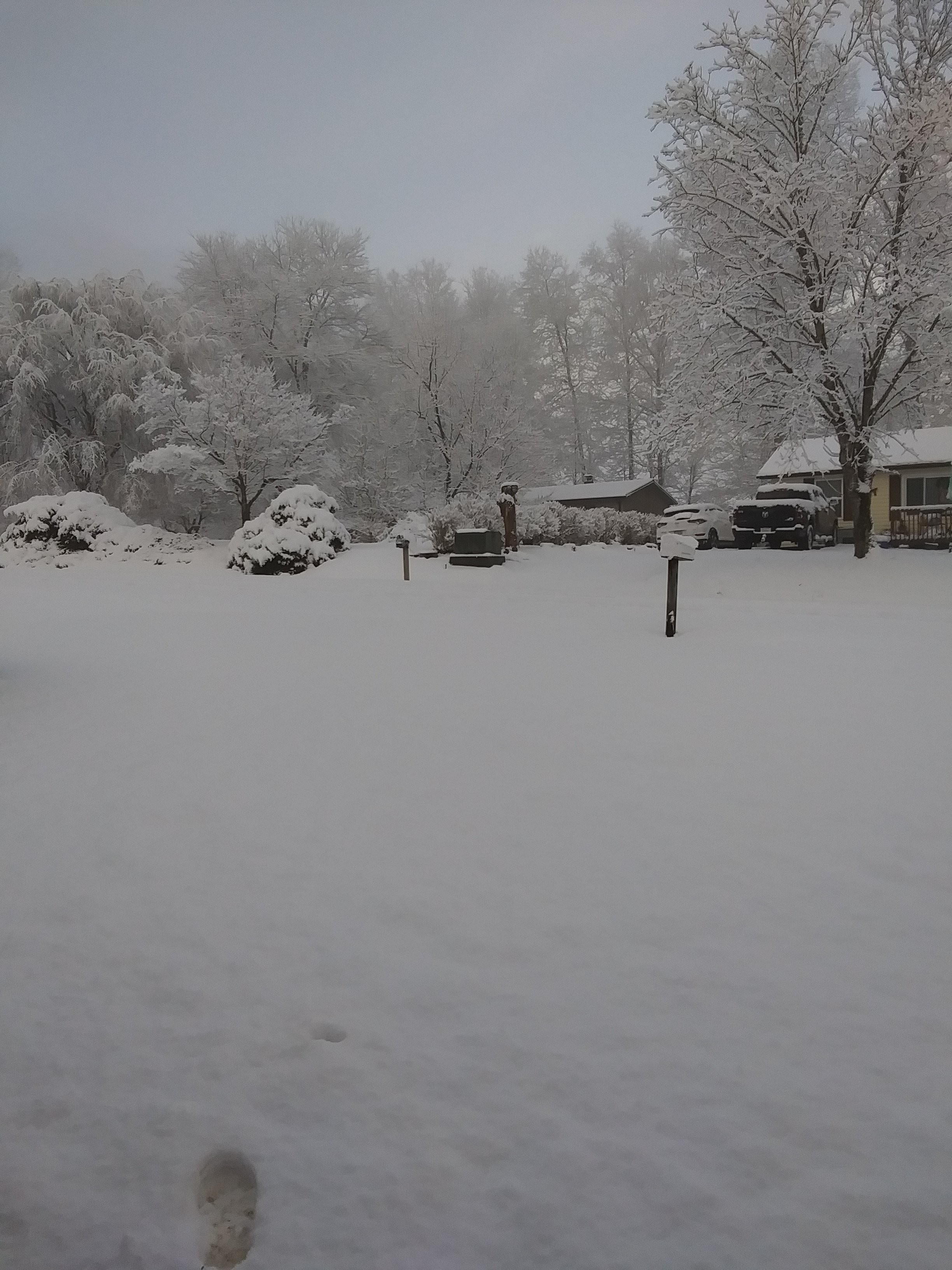
Wound up with an inch here. It was all Snow. I was up throughout duration; couldn't sleep. Jackpot was as GFS( Shocker) showed, Eastern Lee and Scott and Wise Counties. Official report of 2.75" Northern Scott.
-
Wound up with 3/4 to an inch. Depending where it stuck. Temp was above freezing almost the whole duration. It was all Snow here. 1-2 inches Pennington gap to Norton. 2-3" Wise.
-
Started snowing here at 12. Dusting on Vehicle and patches on lawn. Temperature is 37 . Dp 19.
-
Yep, that was where we looked at back in the great Winter's of our Youth. If it was the " Ice box" we were confident as usually that air from that area made a direct shot our way.