Math/Met
-
Posts
291 -
Joined
-
Last visited
Content Type
Profiles
Blogs
Forums
American Weather
Media Demo
Store
Gallery
Everything posted by Math/Met
-
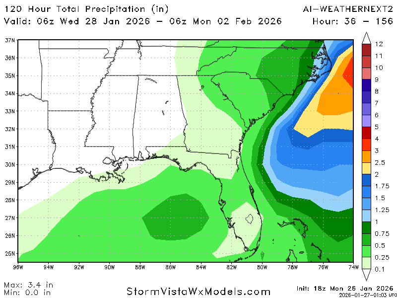
Weathernext
.png.6a416bb12023a3bf47d847a3db127086.png)
-
Jan 30th-February 1st 2026 Arctic Blast/ULL Snow OBS Thread.
Math/Met replied to John1122's topic in Tennessee Valley
-5F this morning. -
Jan 30th-February 1st 2026 Arctic Blast/ULL Snow OBS Thread.
Math/Met replied to John1122's topic in Tennessee Valley

- 608 replies
-
- 11
-

-

-

-
Jan 30th-February 1st 2026 Arctic Blast/ULL Snow OBS Thread.
Math/Met replied to John1122's topic in Tennessee Valley
11 inches now with light snow falling. -
Jan 30th-February 1st 2026 Arctic Blast/ULL Snow OBS Thread.
Math/Met replied to John1122's topic in Tennessee Valley
That heavy band added about 1 inch for me. This has been incredible. -
Wow. Glad your drive was worth it! Congrats.
-
Jan 30th-February 1st 2026 Arctic Blast/ULL Snow OBS Thread.
Math/Met replied to John1122's topic in Tennessee Valley
We've done okay on smaller events (3-6 inch range), but have somehow missed out on every single major event since the 18-20 inch snow in 1998. Glad to finally break that drought! -
Jan 30th-February 1st 2026 Arctic Blast/ULL Snow OBS Thread.
Math/Met replied to John1122's topic in Tennessee Valley
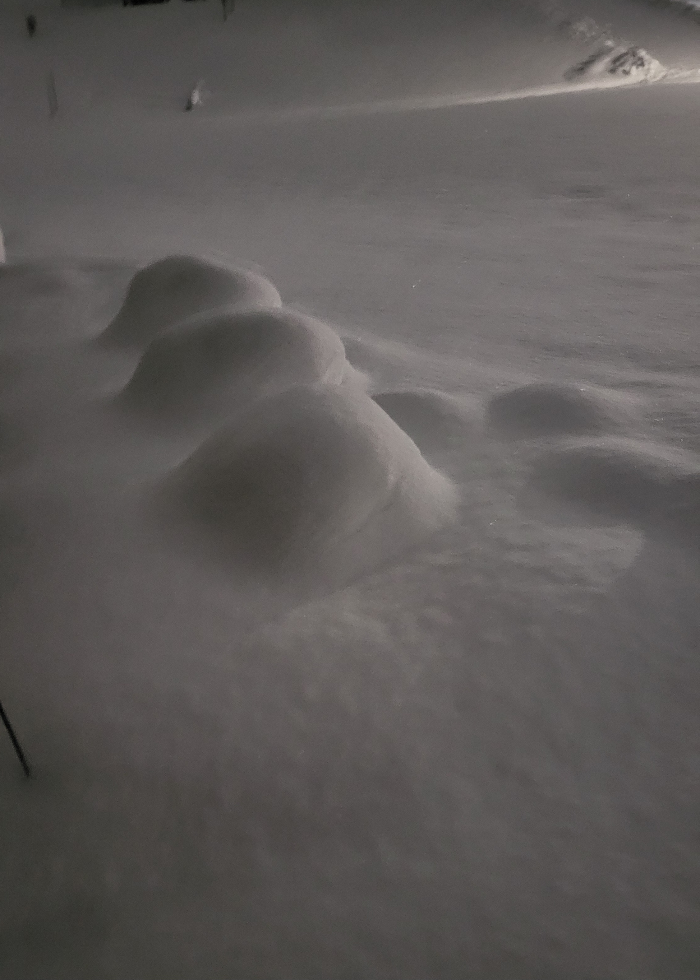
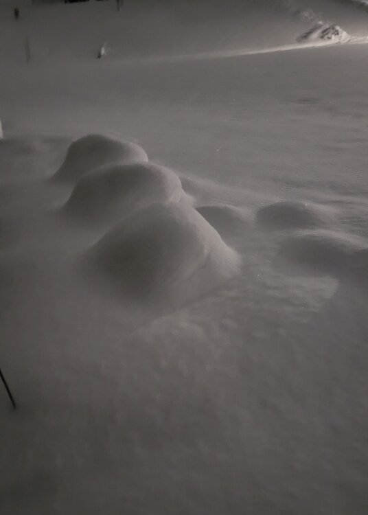
Currently the heaviest snow of the entire event -
Jan 30th-February 1st 2026 Arctic Blast/ULL Snow OBS Thread.
Math/Met replied to John1122's topic in Tennessee Valley
Tusculum area -
Jan 30th-February 1st 2026 Arctic Blast/ULL Snow OBS Thread.
Math/Met replied to John1122's topic in Tennessee Valley
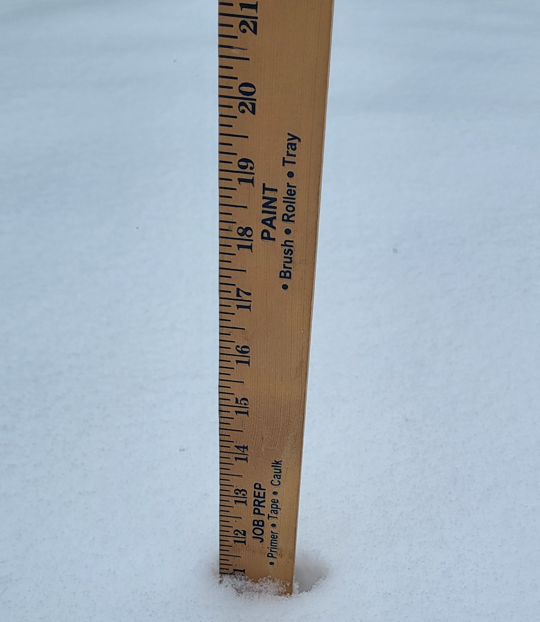
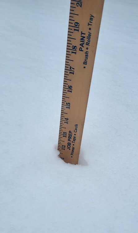
I've hit the 10in mark in Greene County using a board. First time since 98. I actually measure 11 inches consistently throughout the yard, but will go with 10 officially since the grass is pretty thick.
- 608 replies
-
- 13
-
-
-
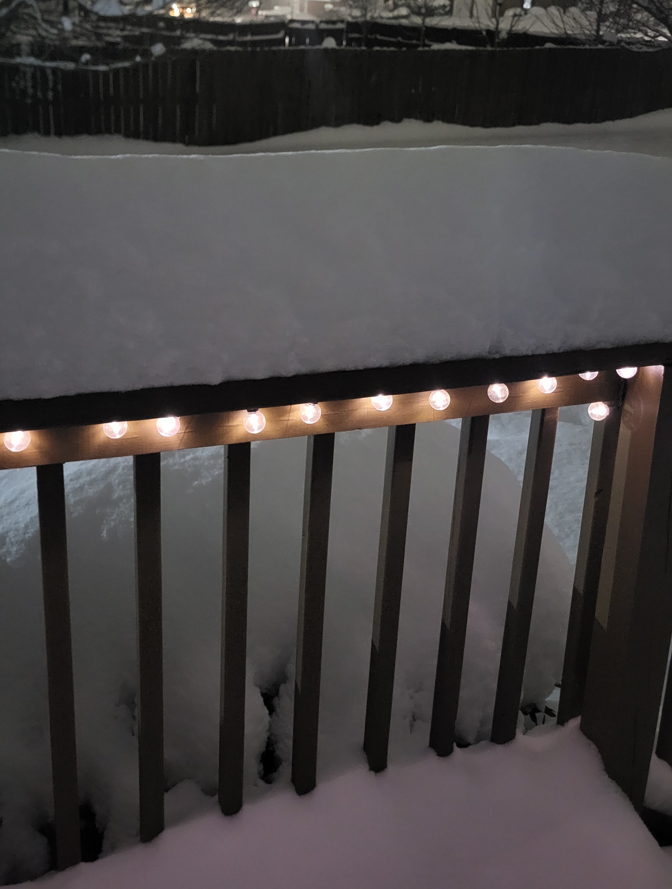
Jan 30th-February 1st 2026 Arctic Blast/ULL Snow OBS Thread.
Math/Met replied to John1122's topic in Tennessee Valley
Deck picture. It's actually a little bit sheltered based on wind direction.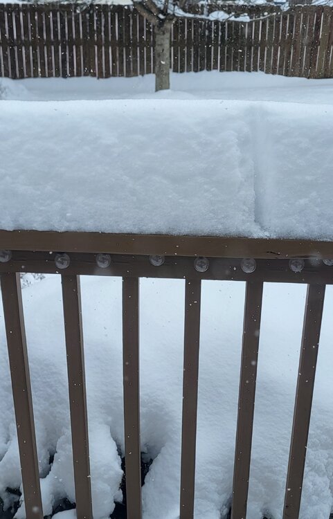
-
Thanks for the updates. I've been curious how the mountains in TN are doing. I'm in Greeneville, TN, so not too far from Gatlinburg. I measured about 9 inches about an hour ago at my house and still coming down. I thought you would be in a good spot for this. Hopefully we can keep the high ratio snow going for awhile. Keep us posted.
-
Jan 30th-February 1st 2026 Arctic Blast/ULL Snow OBS Thread.
Math/Met replied to John1122's topic in Tennessee Valley
Finally found my board (amateur mistake lol). 9 inches in Greeneville. Added about 1 inch in the past 2 hours. -
Jan 30th-February 1st 2026 Arctic Blast/ULL Snow OBS Thread.
Math/Met replied to John1122's topic in Tennessee Valley
I haven't taken an official measurement yet, but it's the most snow since '98 for me and still adding up. -
Jan 30th-February 1st 2026 Arctic Blast/ULL Snow OBS Thread.
Math/Met replied to John1122's topic in Tennessee Valley
Yep, just measured right at 2" in Greeneville. Rates have picked up as well. -
The GFS was a great run for eastern areas.
- 782 replies
-
- 1
-
-
- extreme cold
- snow
- (and 1 more)
-
I agree with this. Think some of the models have it moving out too quickly. That is often the case in northern areas of East TN and along the foothills in these super cold airmasses.
- 782 replies
-
- 4
-
-

-
- extreme cold
- snow
- (and 1 more)
-
The 00z trend so far seems to be a little bit of improvement at 500mb.
- 782 replies
-
- 1
-
-
- extreme cold
- snow
- (and 1 more)
-
Awesome. You should be in a really good spot.
-
Crazy things can happen, but Greene Co is in a pretty good spot right now.
- 782 replies
-
- 3
-
-
- extreme cold
- snow
- (and 1 more)
-
It has been like that for awhile. We do okay with the 3-6 inch snows, but have somehow missed all of the bigger ones. It's been a LONG time since I've seen a double digit snowfall. The 90s were great for big snows, but this particular area has struggled since then.
- 782 replies
-
- 4
-
-
- extreme cold
- snow
- (and 1 more)
-
That's one of the reasons that I've been more interested in the track of the ULL versus the surface. I think there's a good chance we'll get a little help at the surface along the mountains.
-
There are several things I like I about this setup for us. I don't think we need the perfect track to see a good snow with this. We just don't want it to be too far east.
-
Was just about to post that. Nice step in the right direction. Hopefully a start to a few more steps.
-
18z Weather Next