Spartman
-
Posts
1,219 -
Joined
-
Last visited
Content Type
Profiles
Blogs
Forums
American Weather
Media Demo
Store
Gallery
Everything posted by Spartman
-
And the real heatwave has been pushed back to the middle of the week.
-
12z GFS trying to lose the heat
-
GFS and NAM seem to be wanting to spin up a Fall-like system for Monday into Tuesday. On at least one of the days, some could be stuck in the 60s while some could be stuck in the 50s. GFS: NAM:
-
2023 Short/Medium Range Severe Weather Discussion
Spartman replied to Chicago Storm's topic in Lakes/Ohio Valley
Monday's looking like a repeat of this past Monday. -
Got nothing today. Ended up with the first completely dry weekend since the middle of June. Tomorrow looks to be our turn. Expecting to suck being stuck in the low to mid-70s the entire day tomorrow.
-
Should've extended this thread to tomorrow. Didn't get a drop today, but it'll change tomorrow.
-
Not often do NWS offices like IWX mention Winter in their AFDs during the summer. .LONG TERM...(Sunday Night through Saturday) Issued at 324 PM EDT Sat Aug 5 2023 The forecast 500-mb chart for Monday looks out of place for early August; rather fall or winter-like. The crawling MCV turned surface low is finally absorbed by a stronger trough digging in over the Illinois Sunday night. As a result, a sprawling upper-level low is overhead on Monday offering the chance for passing showers and cool conditions; highs in the mid-70s. Broad troughing aloft will keep temperatures a touch below normal through the week. A couple of disturbances bring the chance for showers and thunderstorms late Wednesday and again near Friday night. Early indications suggest we may be between systems next weekend, thus perhaps leaning toward a dry forecast. Monday afternoon: ' The upcoming week looks to be a wash.
-
Summer 2023 Medium/Long Range Discussion
Spartman replied to Chicago Storm's topic in Lakes/Ohio Valley
There are many summers with a lack of 90-degree days that are followed by cold/snowy winters. -
89'd, was only supposed to hit the mid-80s today. Highest it's likely going to get for at least the 1st half of the month.
-
000 CXUS51 KILN 010658 CF6DAY PRELIMINARY LOCAL CLIMATOLOGICAL DATA (WS FORM: F-6) STATION: DAYTON OH MONTH: JULY YEAR: 2023 LATITUDE: 39 54 N LONGITUDE: 84 12 W TEMPERATURE IN F: :PCPN: SNOW: WIND :SUNSHINE: SKY :PK WND ================================================================================ 1 2 3 4 5 6A 6B 7 8 9 10 11 12 13 14 15 16 17 18 12Z AVG MX 2MIN DY MAX MIN AVG DEP HDD CDD WTR SNW DPTH SPD SPD DIR MIN PSBL S-S WX SPD DR ================================================================================ 1 84 70 77 1 0 12 1.28 0.0 0 9.2 41 230 M M 8 13 60 230 2 85 67 76 0 0 11 0.60 0.0 0 10.9 36 230 M M 9 13 45 240 3 83 69 76 0 0 11 0.34 0.0 0 6.7 21 330 M M 9 1238 30 340 4 89 68 79 3 0 14 0.00 0.0 0 5.4 13 280 M M 4 15 290 5 89 72 81 5 0 16 T 0.0 0 5.6 17 130 M M 6 1 22 130 6 87 71 79 3 0 14 0.23 0.0 0 6.7 15 260 M M 6 13 18 260 7 85 65 75 -1 0 10 0.00 0.0 0 4.7 10 350 M M 5 13 330 8 76 66 71 -5 0 6 0.61 0.0 0 6.0 20 320 M M 8 13 24 310 9 77 64 71 -5 0 6 0.00 0.0 0 7.6 15 340 M M 6 18 18 320 10 85 61 73 -3 0 8 0.00 0.0 0 6.1 13 290 M M 2 8 17 290 11 86 64 75 -1 0 10 0.00 0.0 0 9.9 18 230 M M 2 23 260 12 88 69 79 3 0 14 0.00 0.0 0 10.2 20 190 M M 4 27 200 13 87 71 79 3 0 14 0.00 0.0 0 8.6 18 230 M M 3 28 230 14 88 65 77 1 0 12 0.00 0.0 0 4.5 13 240 M M 3 1 15 240 15 80 69 75 -1 0 10 0.35 0.0 0 7.0 16 200 M M 7 13 21 190 16 83 67 75 -1 0 10 T 0.0 0 10.2 20 240 M M 2 18 24 240 17 83 64 74 -2 0 9 0.03 0.0 0 9.7 22 290 M M 6 138 29 290 18 83 63 73 -3 0 8 T 0.0 0 6.1 15 30 M M 8 128 19 40 19 87 64 76 0 0 11 0.00 0.0 0 3.5 10 250 M M 4 18 13 240 20 88 70 79 3 0 14 0.01 0.0 0 9.0 26 10 M M 8 13 36 10 21 80 64 72 -4 0 7 0.00 0.0 0 8.1 14 320 M M 5 18 330 22 82 61 72 -4 0 7 0.00 0.0 0 2.8 8 230 M M 4 8 12 30 23 85 63 74 -2 0 9 T 0.0 0 7.3 20 250 M M 4 8 24 240 24 86 63 75 -1 0 10 T 0.0 0 6.8 18 70 M M 5 3 23 60 25 88 65 77 1 0 12 0.00 0.0 0 4.4 10 320 M M 2 18 14 280 26 92 70 81 5 0 16 T 0.0 0 13.6 24 220 M M 5 8 32 200 27 91 77 84 8 0 19 0.00 0.0 0 9.5 18 220 M M 7 24 230 28 88 74 81 5 0 16 T 0.0 0 10.2 20 270 M M 7 3 25 260 29 87 70 79 3 0 14 0.38 0.0 0 11.5 37 320 M M 5 13 48 320 30 87 66 77 1 0 12 0.02 0.0 0 4.8 20 290 M M 4 1 27 290 31 81 62 72 -4 0 7 0.00 0.0 0 5.8 14 20 M M 3 17 20 ================================================================================ SM 2640 2074 0 349 3.85 0.0 232.4 M 161 ================================================================================ AV 85.2 66.9 7.5 FASTST M M 5 MAX(MPH) MISC ----> 41 230 60 230 ================================================================================ NOTES: # LAST OF SEVERAL OCCURRENCES COLUMN 17 PEAK WIND IN M.P.H. PRELIMINARY LOCAL CLIMATOLOGICAL DATA (WS FORM: F-6) , PAGE 2 STATION: DAYTON OH MONTH: JULY YEAR: 2023 LATITUDE: 39 54 N LONGITUDE: 84 12 W [TEMPERATURE DATA] [PRECIPITATION DATA] SYMBOLS USED IN COLUMN 16 AVERAGE MONTHLY: 76.0 TOTAL FOR MONTH: 3.85 1 = FOG OR MIST DPTR FM NORMAL: 0.0 DPTR FM NORMAL: -0.10 2 = FOG REDUCING VISIBILITY HIGHEST: 92 ON 26 GRTST 24HR 1.75 ON 1- 2 TO 1/4 MILE OR LESS LOWEST: 61 ON 22,10 3 = THUNDER SNOW, ICE PELLETS, HAIL 4 = ICE PELLETS TOTAL MONTH: 0.0 INCH 5 = HAIL GRTST 24HR 0.0 6 = FREEZING RAIN OR DRIZZLE GRTST DEPTH: 0 7 = DUSTSTORM OR SANDSTORM: VSBY 1/2 MILE OR LESS 8 = SMOKE OR HAZE [NO. OF DAYS WITH] [WEATHER - DAYS WITH] 9 = BLOWING SNOW X = TORNADO MAX 32 OR BELOW: 0 0.01 INCH OR MORE: 10 MAX 90 OR ABOVE: 2 0.10 INCH OR MORE: 7 MIN 32 OR BELOW: 0 0.50 INCH OR MORE: 3 MIN 0 OR BELOW: 0 1.00 INCH OR MORE: 1 [HDD (BASE 65) ] TOTAL THIS MO. 0 CLEAR (SCALE 0-3) 6 DPTR FM NORMAL 0 PTCLDY (SCALE 4-7) 23 TOTAL FM JUL 1 0 CLOUDY (SCALE 8-10) 2 DPTR FM NORMAL 0 [CDD (BASE 65) ] TOTAL THIS MO. 349 DPTR FM NORMAL 8 [PRESSURE DATA] TOTAL FM JAN 1 580 HIGHEST SLP M ON M DPTR FM NORMAL -114 LOWEST SLP 29.74 ON 2 [REMARKS] #FINAL-07-23# Odd ending July with a -0.0 departure. Slightly below-normal rainfall, despite a wet start. Rained every single weekend in July.
-
August looks like a writeoff based on trends. Perhaps this will be the month there will be no 90s?
-
-
Summer 2023 Medium/Long Range Discussion
Spartman replied to Chicago Storm's topic in Lakes/Ohio Valley
6-10 day: 8-14 day: -
Topped out at 88. MCS earlier screwed us out of a heatwave. That's it for 90-degree days for July and even for the foreseeable future. Only 2 90-degree days last month, only 2 again for this month.
-
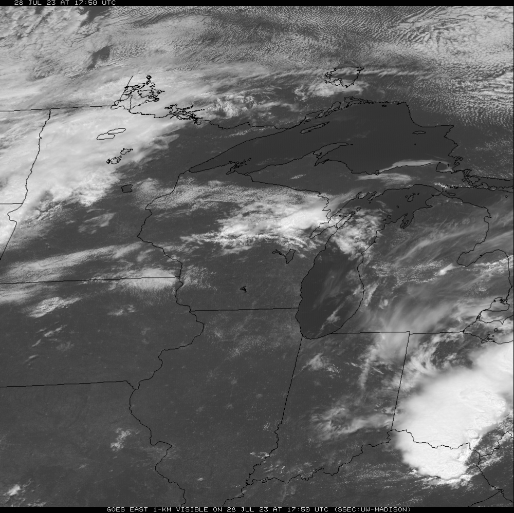
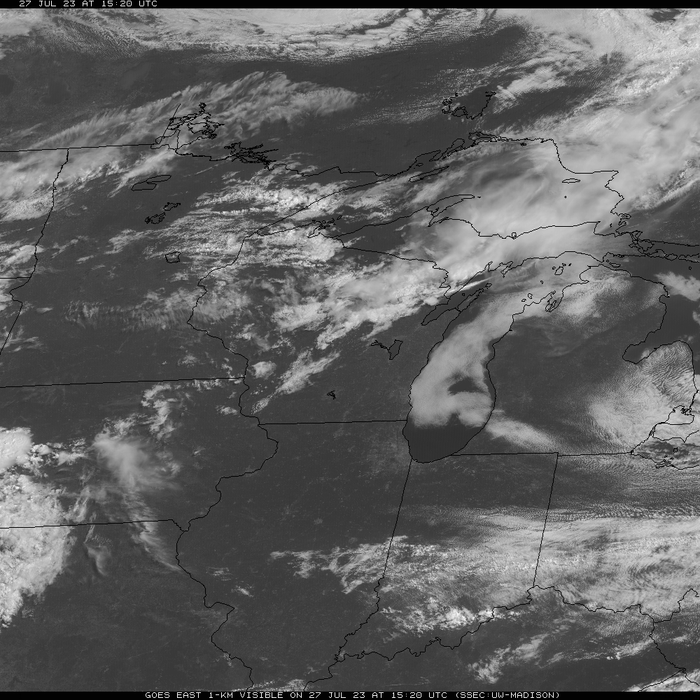
Forget about the heat wave now. Debris clouds from an MCS are over the area. Excessive Heat Warning got cancelled. They might as well cancel the Heat Advisory, too.

-
Cloud cover did persist until mid-afternoon. CMH got 89'd today while Indy is still getting screwed again.
-
Heat wave cancel

-
First 90 since June 3rd, and only the 3rd one of the year.
-
Summer 2023 Medium/Long Range Discussion
Spartman replied to Chicago Storm's topic in Lakes/Ohio Valley
Jaxjagman in the Tennessee Valley subforum seems to be viewing it as the final nail in the coffin for the summer. -
00z GFS on the 29th, how many people would hit the roof seeing temps in the upper 50s-lower 60s for late July?
-
Summer 2023 Medium/Long Range Discussion
Spartman replied to Chicago Storm's topic in Lakes/Ohio Valley
Although today's 12z GFS has some improvement, the GFS runs apparently got JB going : -
Summer 2023 Medium/Long Range Discussion
Spartman replied to Chicago Storm's topic in Lakes/Ohio Valley
Now to wait if Euro eventually caves to GFS. Even AFDs like IND or ILX seem to have doubts about late next week. IND: While heights will increase through the week, NBM output appears to be too warm late in the period, and have made some downward adjustments there. Will still be hot and sticky, particularly given the relative lack of 90 degree weather thus far this season, but at this point there`s very little about the synoptic pattern that screams major heat. ILX: Beyond Sunday, there`s actually quite a bit of uncertainty in how the pattern will evolve. There`s definitely an overall warming trend evident in the low resolution ensemble forecast (LREF) system, which is the combined ensembles of the GFS (called the GEFS: 30 models called "members"), ECMWF (called the EPS: 50 members), and CMC (CMCE: 20 members). In fact, NBM`s deterministic forecast, which is essentially the mean of the biased corrected LREF, brings high temperatures up from 89 degF Monday to 94 degF by Thursday in Lincoln. However, the 10th to 90th percentile range (the observed high temperature should fall into this range 80% of the time if its properly calibrated) spans 10+ degF Monday and nearly 15 degF by Wednesday, suggesting significant spread in the ensemble. As has been the case the past several days, the GEFS continues to be the outlier of the three ensemble systems comprising the LREF (and ultimately feeding NBM), with most of its members yielding maxTs > 95 and upwards of 20% of its members depicting 105+ degF highs at KAAA by next weekend. These outliers (some of which are > 110!) are skewing the data and pulling the ensemble mean (and hence NBM) up above what would seem reasonable given the moisture flux which could be expected from agricultural evapotranspiration this time of year (even given our still semi-dry soils). So...temperatures were nudged 30% to the 25th percentile to bring them back in line with what the rest of the LREF is suggesting for Thursday and Friday. Even so, our highs could be far too warm should we get convection - which the deterministic models are suggesting could crest the ridge at any time during the upcoming work week. Convective action could not only bring a very temporary relief to the heat, but it would also yield outflow boundaries which could push the periphery of the ridge back towards the south -- possibly preventing it from building in nearly as much as what the models have been suggesting. We`ll continue to monitor and update the forecast (and discussion) with our latest thinking. IWX: While it become notably warmer mid and late this week (especially compared to today`s temperatures) there is concensus among the team here today that the combination of falling heights aloft, clouds and storms around, and even a hint of cold air advection aloft as a trough moves through, high temperatures Thursday and Friday might be overdone. Highs in the upper-80s are certainly likely, but it may be challenging to break too far into the 90s. ECMWF offers a 90th percentile forecast high temperature Friday while the in-house NBM is near 75th percentile; perhaps too warm. -
Summer 2023 Medium/Long Range Discussion
Spartman replied to Chicago Storm's topic in Lakes/Ohio Valley
Pretty impressive on the 12z Euro, but the 12z GFS lost the heat. -
Early last week, there was a Bering Sea Ridge. I believe that was the first occurrence of it for this Summer. And yet, another Bering Sea Ridge is forecast to happen within a couple of days.
-
Using the Bering Sea Rule recently?