shaggy
-
Posts
7,696 -
Joined
-
Last visited
Content Type
Profiles
Blogs
Forums
American Weather
Media Demo
Store
Gallery
Everything posted by shaggy
-
Looks like Josh is gonna catch the northern eyewall and may the edge of the eye of Kamurri
-
Typhoon Kamurri forecast to have winds of 130kts as it starts to close in on the Philippines.
-
Looks like the euro and gfs being a strong typhoon into the Philippines. It's already ramping up nicely and could overperform
-
Good thing cyclone Kyarr is not going to threaten anyone as it has gone into beast mode.
-
Just looking st some snapchat videos at abaco and noticed there was a cruise ship sailing around the southern part of the island full of people having a blast. Impervious to humanitarian crisis going on 50 miles away.
-
Anyone find it sad that the bahamian officials are saying not all the dead died due to the storm? Perhaps some social unrest as thats been reported as well. Horrible situation.
-
Tornados count relationship to hurricanes in NC
shaggy replied to downeastnc's topic in Southeastern States
We were at 21 tornadoes this year so that put us at an elevated risk according to this theory and of course we had a landfall. -
Hrrr is still showing some storms east of 95 especially so we will see. Here in greenvile it's just absurd outside as far as humidity goes. Definitely getting plenty of sun and heating.
-
12z 3k nam kills the squall line and shows very few storms. Not sure what's going on with this run.
-
Hrrr is uninspiring.
-
Man if those 2 little islandsare inhabited that was a tough break as that kept them in the eyewall.
-
The investing the wpac is modeled to be a strong cane with landfall over Japan. Gfs is stronger and more west with a pressure in the 930 range while euro is into Japan with 970ish.
-
Major storm in Italy this week. The hail that is shown around the 1:20 minute mark is absolutely insane.
-
A sting of 40 to 60% pops and I've gotten less than a .25 inch. Today is the last day of decent chances so if it doesnt happen today then my yard is gonna go south even quicker. HRRR has most of the action just to my south today so we will see.
-
Heres another tornado that at 2 minutes in you see wind coming towards the windshield. The you literally see and hear the calm for a couple seconds then the winds come from the right. Literally the calm of the eye effect even if for a second....awesome
-
At 3:25ish a puff of cloud runs out and does a perfect loop back up into the storm. It's right after he passes a house at 3:25 minute mark.
-
Does someone want to explain what we are seeing between 3:20 and 3:30 in this video? It looks like sinking air like a downburst that then gets sucked back up? Or is it a fake?
-
Cool tornado simulator that shows the wind patterns on the edge of the tornado. The individual sand grains really highlights the wind flow.
-
3k nam drops a line down over the coastal plains tomorrow and even though severe isnt likely anytime we have this type of heat anything can happen.
-
The upcoming pattern is just horrible. I was enjoying our cooler days.
-
Would have been fun to be in that kansas storm that had sustained windsof 75mph with a measured gust to 111mph.
-
61st annual big rock blue marlin tourny outnof morehead city is coming to staggering finish. Reportedly over 40 marlin were released today and I believe 6 to 7 were brought to the dock for weigh-in. Biggest marlin is worth 1.3 million and a boat smashed the old tourny record today. Day one saw a 588lb marlin caught. That fish led until tonight when a whopping 914lb fish came in. This beats a previous record of 831lb. Even crazier is theres still one boat coming in with a fish they fought for 10 hours. The fish on the left is the 588 previous leader, obviously fish on the right is the 914lber.

-
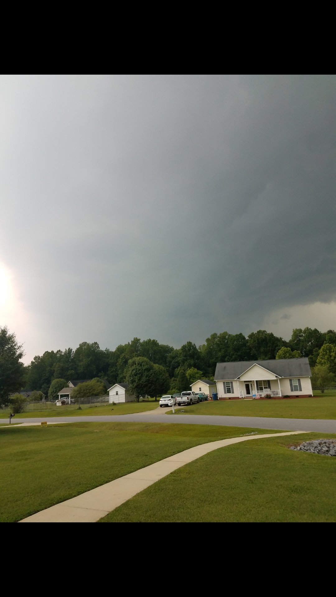
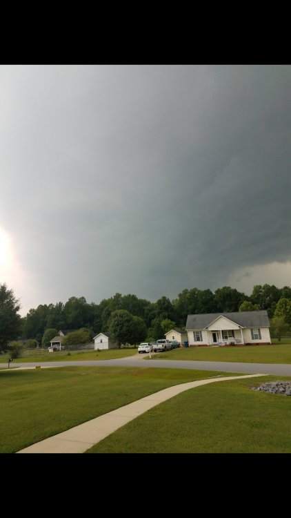
Nice gustfront was forming as it passed
-
Incoming storm with nonstop thunder. Not severe or anything.