das
-
Posts
2,299 -
Joined
-
Last visited
1 Follower

About das

Recent Profile Visitors
4,885 profile views


-
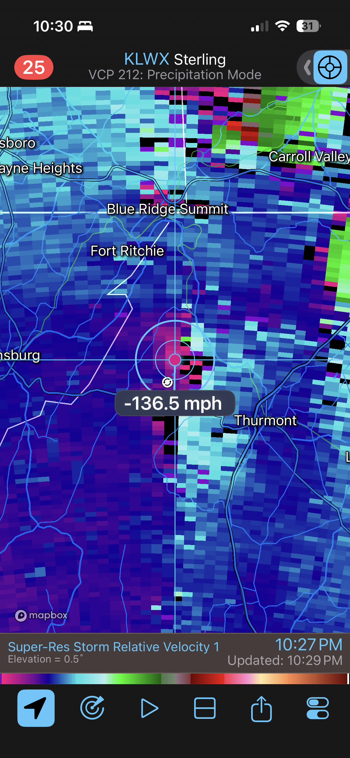
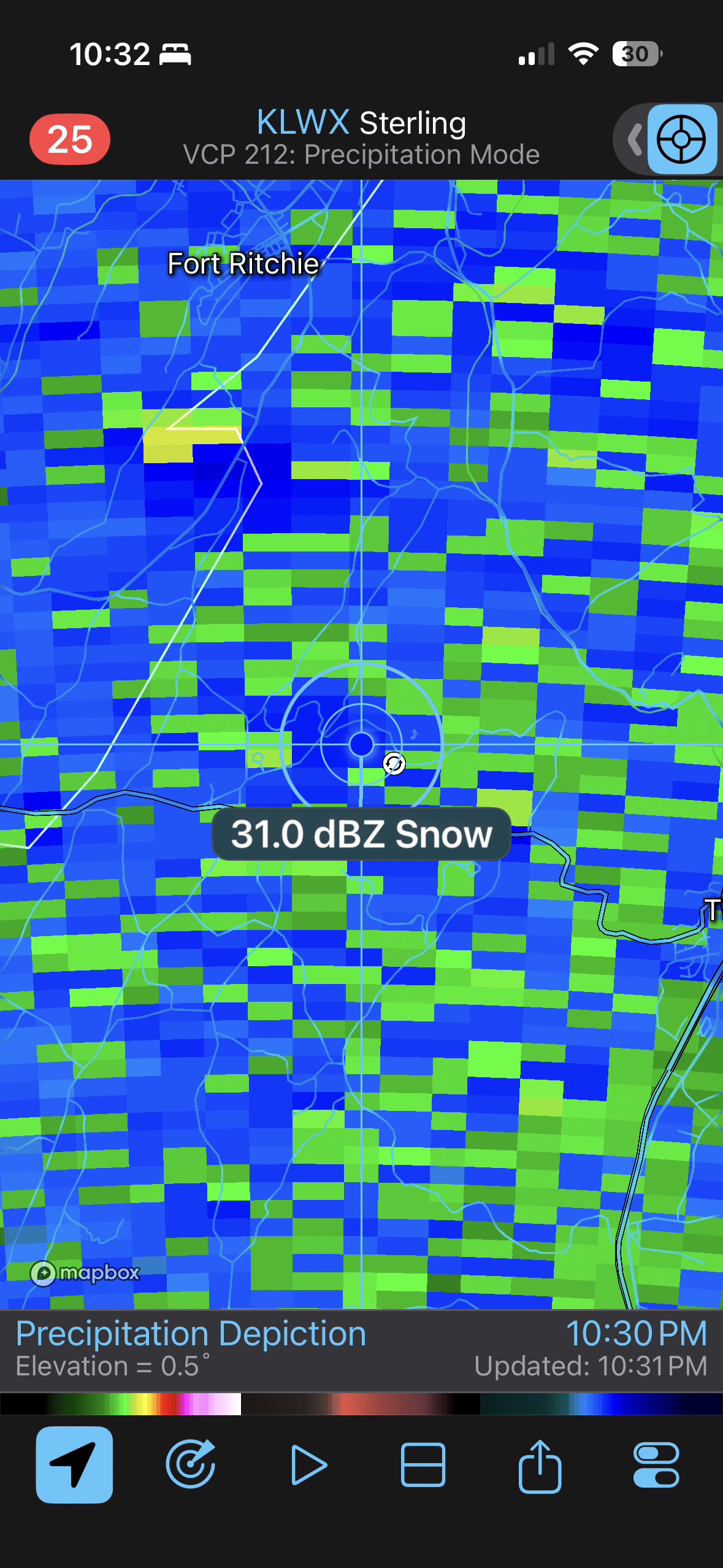
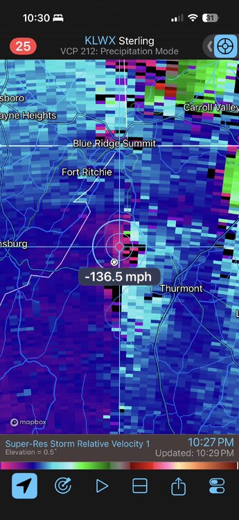
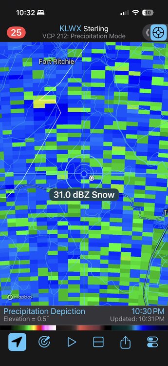
Can’t say I’ve seen this before. Strong rotation signature in heavy snow up near Thurmont.
- 1,093 replies
-
- 4
-

-

-
- severe
- thunderstorms
- (and 1 more)
-
IMG_7775.mov IMG_7780.mov
-
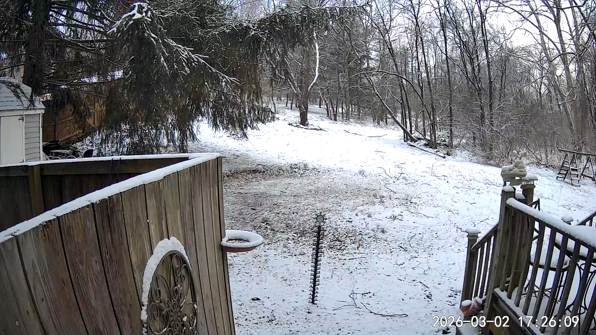
Topped out at 1.1” in Clarksburg for the storm.
-
"Don’t do it" 2026 Blizzard obs, updates and pictures.
das replied to Ginx snewx's topic in New England
Checking in to report that the house in Charlotte, VT received 0.0” of snow from the storm. Just in case anyone was wondering. -
Thanks. There was still 4” in places that were bare ground at the start when I got home this evening so that sounds about right. Upper MoCo could not have looked more different than DC at 6pm. Different world.

-
What was your total?
-
Nice. I’ll look at whatever your final report is when it ends tomorrow morning for my official total since I won’t be back to the house until after 7pm and it will have settled a ton.
-
Approaching 2” at the house in Clarksburg. 31.8°F / 32°F. My plane lands at DCA at 7:25am tomorrow morning. I am especially excited about the NW25G45 forecast for that time. :^o
-
38+dBZ and pouring. IMG_7551.mov
-
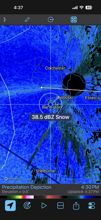
First flakes flyin' here in Burlington, VT.
-
Wednesday Feb 18 Mixed event. NOPE …ain’t happenin’
das replied to HoarfrostHubb's topic in New England
What’s the problem? :^)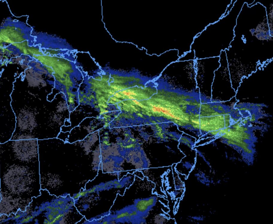
-
Even here in the valley. Offloading on pavement…
-
Yep. We’ve had snow every hour for 23 hours straight. With another 14-16 hours on the way. And I’m even in the Valley.
-
4.3” here in Charlotte in the valley for the 6 hour snowboard clearing. Dry slot has pivoted in and shifted to light persistent flurries/showers. This brings the yearly total here to 61.2”. We’ll see what tomorrow looks like as the blocking kicks in when the storm strengthens just east of Maine.
-
February 2026 Medium/ Long Range Discussion: 150K Salary Needed to Post
das replied to Weather Will's topic in Mid Atlantic
It would have to be a prodigious rainer with high DP's. 0.50" rain at 37ºF will hardly make a dent in the glacier above and below the ground.