CAPE
-
Posts
36,851 -
Joined
-
Last visited
Content Type
Profiles
Blogs
Forums
American Weather
Media Demo
Store
Gallery
Everything posted by CAPE
-
Quality trolling. Wonder where she gets that from.
-

2/12 Potential Super Sloppy Bowl fumble with low scores possible!
CAPE replied to midatlanticweather's topic in Mid Atlantic
Don't blame the creation of this thread for the apparent death of this wretched 'threat'. Was on life support the instant it showed up on guidance. -
Late February will be rocking. February Long range Discussion thread
CAPE replied to Ji's topic in Mid Atlantic
It's fun to track this because there isn't anything else, but it has always looked like an inland/at elevation deal for snow imo. -
Late February will be rocking. February Long range Discussion thread
CAPE replied to Ji's topic in Mid Atlantic
0z EPS has a better h5 look at the end of the run. The big blob of +heights south of the Aleutians weakens and the ridge axis shifts eastward, with a broader trough over the central US. -
Late February will be rocking. February Long range Discussion thread
CAPE replied to Ji's topic in Mid Atlantic
Probably more likely to shift the other way given the progressive nature of the flow and the ridge behind. -
Late February will be rocking. February Long range Discussion thread
CAPE replied to Ji's topic in Mid Atlantic
Agreed. The depiction of the actual mean I think is probably close to the best outcome in this case. It would get good precip into the favored areas for frozen. The scenarios that keep the better precip more southeastward or have a weaker system overall would likely just produce rain/slop. -
Late February will be rocking. February Long range Discussion thread
CAPE replied to Ji's topic in Mid Atlantic
The 0z EPS offers the most workable scenario for snow in our general region. The evolution and track would place significant precip in the higher terrain where it could actually snow given the lack of cold. Verbatim the mean is not bad for the NW burbs either, but again, those temps. This has always been a very low probability period for frozen in the lowlands. -
Late February will be rocking. February Long range Discussion thread
CAPE replied to Ji's topic in Mid Atlantic
Nah. Still locked in the perpetual 'we completely suck for snow' portion. -
Late February will be rocking. February Long range Discussion thread
CAPE replied to Ji's topic in Mid Atlantic
Da mean fwiw -
Late February will be rocking. February Long range Discussion thread
CAPE replied to Ji's topic in Mid Atlantic
Ends as light rain on WB. TT ptype is awful for a snow weenie lol. -
Late February will be rocking. February Long range Discussion thread
CAPE replied to Ji's topic in Mid Atlantic
The signal for frozen on the 6z GEFS(east of the mountains) ticked up a bit- 'highest' in VA west and south of DC. There are 7 members that suggest measurable snow in our general region, with differences in the exact placement. Clearly places inland at elevation would be favored in such a marginal setup- if it actually precipitates at a decent rate in those areas. -
Late February will be rocking. February Long range Discussion thread
CAPE replied to Ji's topic in Mid Atlantic
Polar Vortex destruction! -
Late February will be rocking. February Long range Discussion thread
CAPE replied to Ji's topic in Mid Atlantic
It's a long shot. You got that part right. Head to the western highlands if you want a legit shot at a white SB Sunday. That has consistently been the signal for this period on the means. Nothing has changed. -
Late February will be rocking. February Long range Discussion thread
CAPE replied to Ji's topic in Mid Atlantic
Hell of a signal on the GEFS. -
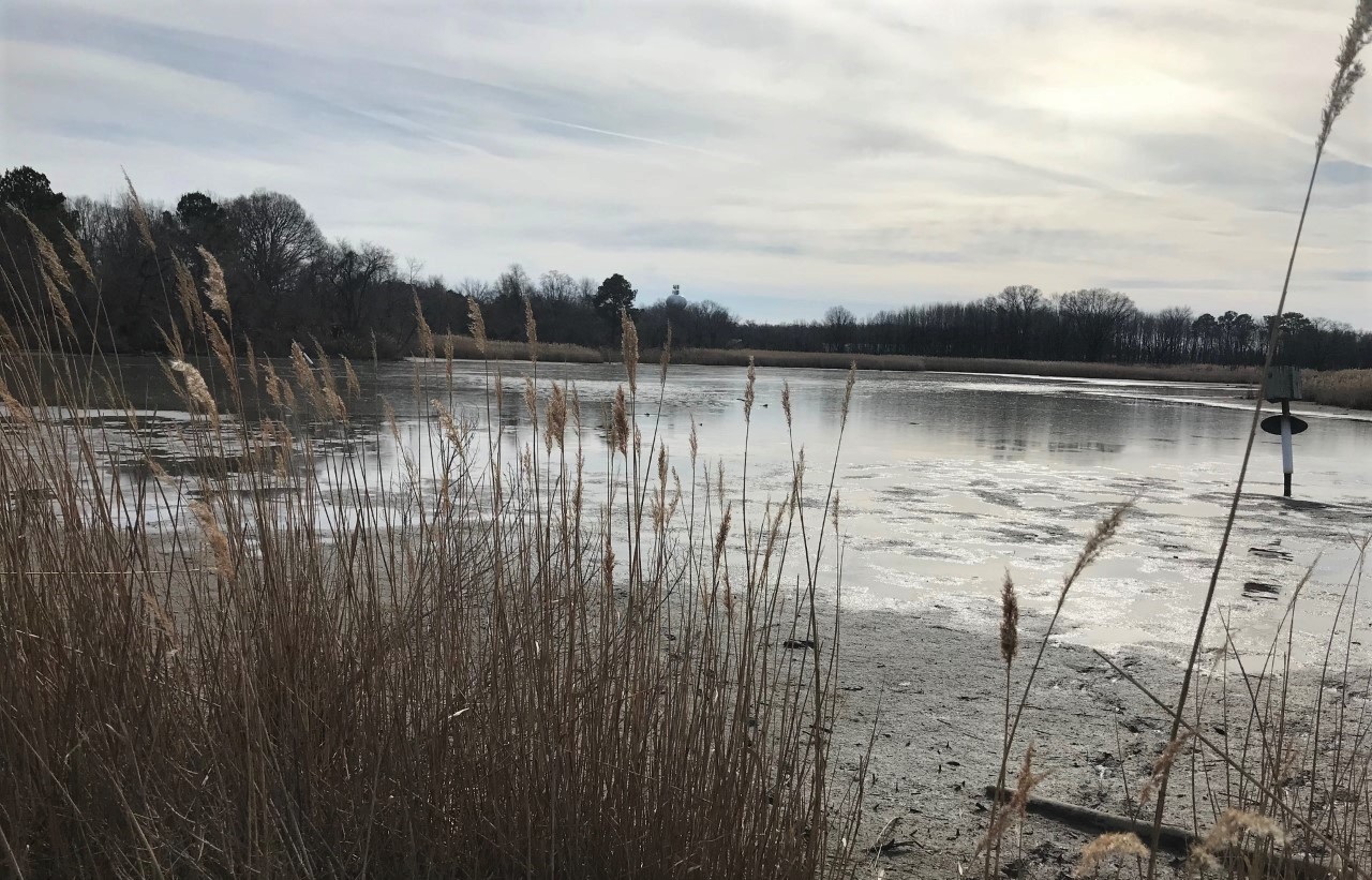
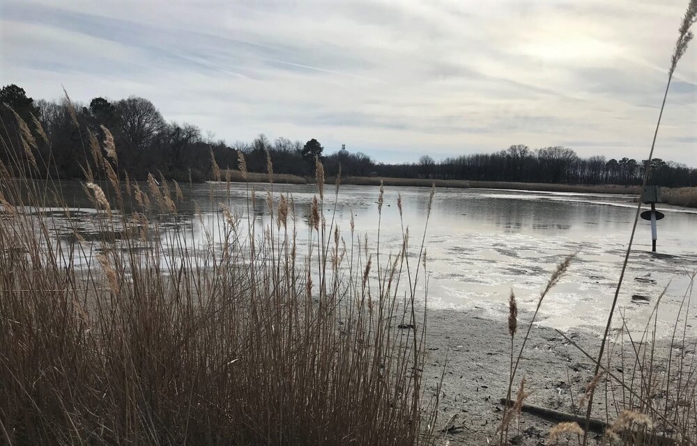
A couple photos from Terrapin yesterday. Bit of ice from the brief cold shot. Won't be seeing this again anytime soon as it looks now.
-
Late February will be rocking. February Long range Discussion thread
CAPE replied to Ji's topic in Mid Atlantic
Be sure to check out his latest blog this week to find out! -
51 here. Nice day and milder days to come this week. Bring it. Working on pond destruction to replace an old leaky liner. Not a fun job lol.
-
After our typical crappy/underperforming winters, most are mentally in a place to move on and that ideally means warmer and nicer weather. That is rarely how it goes in reality though. I thought last Spring and the transition into early Summer was about as good as it gets. Most of the time it shifts pretty quickly from chilly/damp miserable to warm and humid grossness.
-
Late February will be rocking. February Long range Discussion thread
CAPE replied to Ji's topic in Mid Atlantic
The ens means have backed off over recent runs on any notable improvement in the longwave pattern for the long range. Hints of NAO help have disappeared for now, and the AO also remains positive. The atmospheric block that persists is the one we don't want, and not seeing signs of it weakening or shifting in a meaningful way at this point. There will be transient cold-ish shots behind cutters over the next couple weeks, so our best shot at frozen will probably be a well timed shortwave in the wake. Inland areas at elevation obviously have the best chance at lucking into something. -
Late February will be rocking. February Long range Discussion thread
CAPE replied to Ji's topic in Mid Atlantic
The disrupted Strat PV Hail Mary!! for March. Then it would need to couple to the troposphere and result in a significant -AO to be useful. Running out of time. -
Late February will be rocking. February Long range Discussion thread
CAPE replied to Ji's topic in Mid Atlantic
I'll get you that 120 now. Then I will show you the path to early Spring. -
Inherently there is little margin for warming at our latitude to still get snow. Central/N NE are warmer too, but still pretty snowy. If this is the new normal for awhile, might be time to move for those who can't be content with a couple decent snow years per decade.
-
Late February will be rocking. February Long range Discussion thread
CAPE replied to Ji's topic in Mid Atlantic
Did it really 'say' that? Or is that your interpretation. -
Late February will be rocking. February Long range Discussion thread
CAPE replied to Ji's topic in Mid Atlantic
The cutter torches the lower levels, and when it exits the legit cold/thermal boundary remains pretty far to our west/NW. That's where the following wave is going to develop, and drags the cold southeastward behind it this run. It isn't that far from being workable for places inland, like some previous runs. -
Females survive winter by a form of hibernation. Not uncommon to see a few come out during milder periods.