CAPE
-
Posts
36,457 -
Joined
-
Last visited
Content Type
Profiles
Blogs
Forums
American Weather
Media Demo
Store
Gallery
Everything posted by CAPE
-
Bring the 50s with lows in 30s next week and fair weather. Early Spring should feel more like Fall. Too soon for 80s.
-
Looks chilly mid-late next week. Temps near/below freezing Thursday AM?
-
83
-
Drinking a voddy tonic, watching the Orioles(lose) and waiting to watch this. I'll take 2 songs for free, Live.
-
Needed rain. Been dry AF here.
-
Warm is gonna win in this pattern, other than any rainy periods. Upper 70s- low 80s. Too warm too early for my liking. Why cant we just do 'normal' in early Spring sometimes lol. Right to late May/Early June weather. Fuck that shit.
-
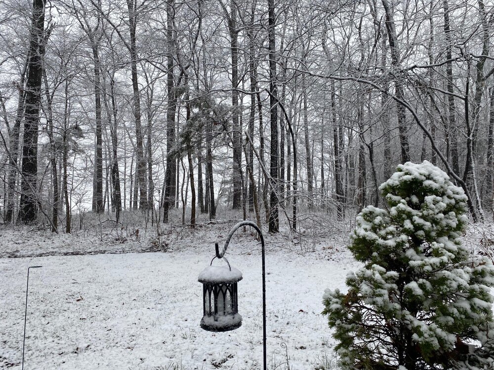
Low of 26 with frost. It will probably be 8 months until we are this cold again.
-

It's time to grade Winter 2025-26(now that it's actually over)
CAPE replied to CAPE's topic in Mid Atlantic
Climo snowfall varies quite a bit across our region as you know. 20 inches here is a pretty good winter, but not so much for places N&W. That said we probably all should have more "reasonable" (lower) climo standards for what qualifies as a good winter. -
0.15" Been pretty dry here latley.
-
It's time to grade Winter 2025-26(now that it's actually over)
CAPE replied to CAPE's topic in Mid Atlantic
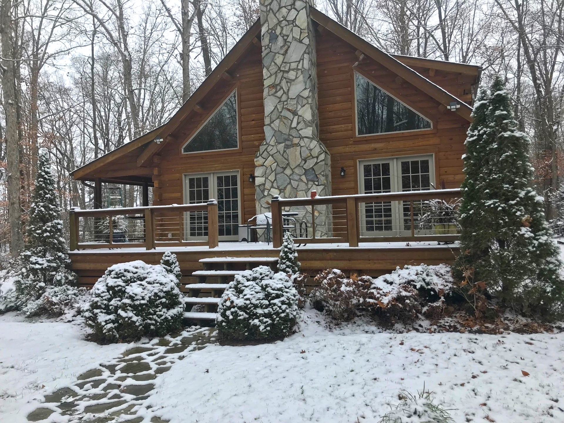
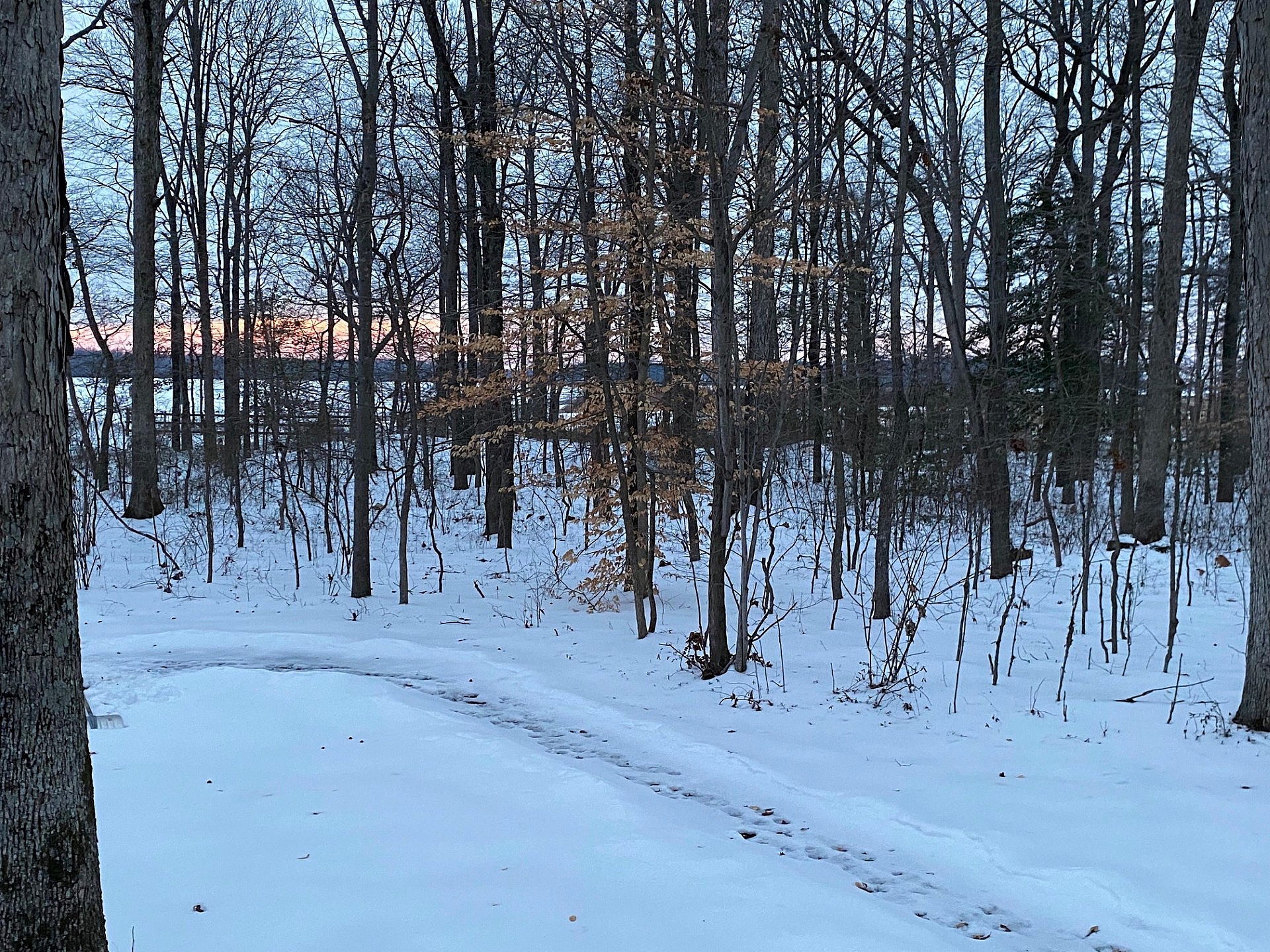
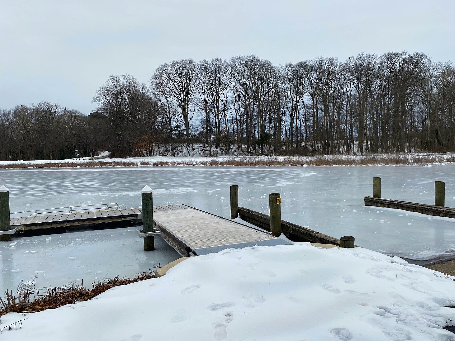
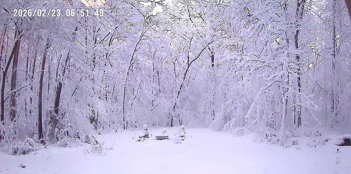
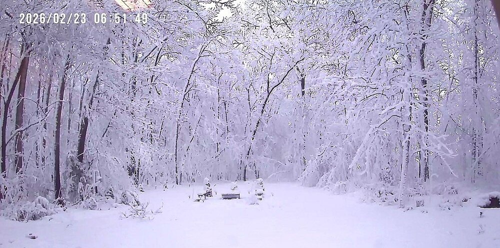
A Cape winter story. It was a pretty impressive winter. First snow in early Dec The glacier storm a week after it fell Tuckahoe in early Feb Late Feb storm The late day March snow after a morning high of 70
- 42 replies
-
- 15
-

-
It's time to grade Winter 2025-26(now that it's actually over)
CAPE replied to CAPE's topic in Mid Atlantic
Cant argue. Last winter was a good one with 2 6"+ snowstorms(both all snow) and had snow otg for 2 weeks or so in Jan. I was just above climo here. Our area has a had a pretty nice run overall since the 2016 Nino. A couple lean winters plus the ratter mixed in. -
It's time to grade Winter 2025-26(now that it's actually over)
CAPE replied to CAPE's topic in Mid Atlantic
It snowed in D,J,F,M. Brutal cold period after the glacier. 3 weeks with snow/ice cover- that period ending up bone dry was the one nitpick. The Feb storm topped it off with 10". Over climo with 22.7"- and my measurements are usually low because I typically measure what's otg as I am often not home during the whole storm. (There was a report from an EM in Greensboro of 14" in the Feb storm). Anyway.. A- Had there been even a modest 2-4" snow event on top the Glacier I probably would have gone with a perfect score. -
This winter was impressively cold overall, but some/much of that cold was wasted. Some areas did well with frozen precip opportunities wrt climo, others not so much. Time to grade it.
-
Some are likely shopping for a new computer, printer, TV, etc today. Happened to my parents last summer with an explosive nearby strike. Unplugging is a good idea when prolific lightning is expected as it removes the physical path for electromagnetic surges.
-
Or high humidity lol
-
April is Spring. Fucking 80s? GTFOH. But ofc we will , because we do premature heat better than anything. Okay, 80s and humid with a Bermuda High in April it is. Then 5+ months more of heat. Sure, bring it, I guess.
-
High Point Didn't see that coming. Fucked up my bracket a bit.
-
Nah, I do McDonalds like 4 or 5 times a year lol. Not my thing. The Big Arch is just a curiosity. If I get it I would probably eat no more than half. More pricey than it should be and so unhealthy. Rather spend my money on this. Much higher quality, not that much more expensive and I support a local business. https://www.rudefoodco.com/
-
At least you know going in it wont compare to Five Guys lol. Love their fries, and eating those delicious (free) roasted peanuts while waiting is awesome.
-
Please let it be 65-70. Not 80+ Leave that shit for May
- 408 replies
-
- 15
-
-

-

-
HH GEFS lost the 23rd, which was the best signal for something at 12z. Moved towards the Canadians and Europeans with signal for frozen for the rest of the month well north. Shocking.
-
I am gonna try it lol. Got pretty solid reviews.
-
Poor GFS. It's just not mentally stable. (analogy)
-
Final detailed report- Public Information Statement National Weather Service Mount Holly NJ 256 PM EDT Wed Mar 18 2026 ...NWS Damage Survey for 03/16/26 Tornado and Wind Damage Event... .Overview... On the evening of March 16, 2026 a narrow but intense line of storms along a strong cold front progressed through Delmarva, southeastern Pennsylvania, and New Jersey. Wind damage consistent with straight line winds of 60 to 70 mph was observed in many locations across the region. There were pockets of more intense damage listed below. The National Weather Service would like to thank our county emergency management partners for their help in our surveys. .Ridgely Maryland Tornado... Rating: EF-1 Estimated Peak Wind: 90-100 mph Path Length /statute/: 0.9 miles Path Width /maximum/: 250 yards Fatalities: 0 Injuries: 0 Start Date: March 16, 2026 Start Time: 10:26 PM EDT Start Location: 2.7 Miles SSE Ridgely / Caroline County / MD Start Lat/Lon: 38.9086 / -75.8742 End Date: March 16, 2026 End Time: 10:29 PM EDT End Location: 2.2 Miles SE Ridgely / Caroline County / MD End Lat/Lon: 38.9195 / -75.8641 Survey Summary: A narrow path of damage began shortly beyond the intersection of Route 404 and Holly Road and continued east towards the intersection of Holly Road and Central Avenue. The damage path began at two residences. One residence had minor roof damage. At the other residence, the roof of a barn was blown off along with all walls collapsed. Debris from the barn was thrown over a quarter mile away into open fields. There was a horse trailer that was thrown across the yard and flipped multiple times. Multiple windows on the first floor of the house were blown out. Significant tree damage was then observed beyond both of these properties as multiple large softwood trees were uprooted with large branches also snapped. Damage continued to the east with multiple large tree branches snapped in a more wooded area. Near the intersection with Central Avenue, the damage ended with multiple trees snapped or uprooted in this area marking the end of the damage path. .Frederica Delaware Tornado... Rating: EF-1 Estimated Peak Wind: 90-100 mph Path Length /statute/: 0.7 miles Path Width /maximum/: 75 yards Fatalities: 0 Injuries: 0 Start Date: March 16, 2026 Start Time: 10:48 PM EDT Start Location: 2.1 miles SSW Frederica / Kent County / DE Start Lat/Lon: 38.9841 / -75.4940 End Date: March 16, 2026 End Time: 10:49 PM EDT End Location: 1.9 miles S Frederica / Kent County / DE End Lat/Lon: 38.9833 / -75.4810 Survey Summary: Tree damage started at the intersection of Carpenter Bridge Road and Fork Landing Road, where multiple trees were uprooted and snapped. Tree damage continued eastward along Fork Landing Road, including multiple trees snapped. One snapped tree fell into a shed, destroying the shed. Tree damage was observed along Fork Landing Road until just before Browns Branch. .Ridgely Maryland Thunderstorm Wind... Peak Wind /E/: 80-90 mph Path Length /statute/: 0.22 miles Path Width /maximum/: 75 yards Fatalities: 0 Injuries: 0 Start Date: March 16, 2026 Start Time: 10:24 PM EDT Start Location: 2.4 miles SSW Ridgely / Caroline County / MD Start Lat/Lon: 38.9147 / -75.9027 End Date: March 16, 2026 End Time: 10:24 PM EDT End Location: 2.3 miles S Ridgely / Caroline County / MD End Lat/Lon: 38.9154 / -75.8987 Survey Summary: A brief area of significant wind damage occurred along Saathoff Road. The start of the path of wind damage involved the complete roof removal of a farm outbuilding with one wall collapsed inward. Metal roofing material was then scattered downstream to the east into an open field. Beyond the open field, there was some tree damage including one softwood tree snapped at the trunk. Additional damage beyond this tree line along Saathoff Road quickly lessened showing the end of the path of significant wind damage. This damage was separate but approximately 1.3 miles west of the starting point of the Ridgely tornado. .Millington Road Thunderstorm Wind... Peak Wind /E/: 80-90 mph Path Length /statute/: 1.9 miles Path Width /maximum/: 1 mile Fatalities: 0 Injuries: 0 Start Date: March 16, 2026 Start Time: 10:24 PM EDT Start Location: 1.8 miles NW Sudlersville / Queen Anne's / MD Start Lat/Lon: 39.2084 / -75.8807 End Date: March 16, 2026 End Time: 10:29 PM EDT End Location: 2.2 miles N Sudlersville / Queen Anne's / MD End Lat/Lon: 39.2192 / -75.8474 Survey Summary: Along Coleman Road, the start of significant wind damage occurred as multiple trees were uprooted and large tree branches were snapped. A farm outbuilding also experienced removal of metal roofing that was scattered to the east into an open field. As the swath of wind damage continued, there was additional farm outbuilding damage near Mud Ford Lane as the roof of an outbuilding was removed with the debris being scattered to the east up to half a mile away. It was at this point that the damage path width was at its widest, with about one mile from the damage on Coleman Road to the damage on Mud Ford Lane. The damage continued towards Millington Road where multiple power poles were snapped, large tree branches were snapped, and additional metal roofing was peeled off a farm outbuilding. Significant wind damage was estimated to have ended near Higman Mill Road as the last point of damage was metal roofing removed from another farm outbuilding. .Camden Delaware Thunderstorm Wind... Peak Wind /E/: 90-100 mph Path Length /statute/: 0.7 miles Path Width /maximum/: 400 yards Fatalities: 0 Injuries: 1 Start Date: March 16, 2026 Start Time: 10:39 PM EDT Start Location: 5.0 miles W Camden / Kent / DE Start Lat/Lon: 39.1107 / -75.6362 End Date: March 16, 2026 End Time: 10:40 PM EDT End Location: 4.3 miles W Camden / Kent / DE End Lat/Lon: 39.1133 / -75.6228 Survey Summary: Tree damage was first observed on Honeysuckle Road just south of the intersection with Westville Road. The highest degree of damage was noted near the intersection of Probst Lane and Westville Road. Several trees were snapped, including multiple trees that fell onto mobile homes. One injury was reported in this location. Sporadic tree damage was observed further east near and along Quail Run. Based on the debris direction, this was determined to be straight line wind damage.
- 1,093 replies
-
- 1
-
-
- severe
- thunderstorms
- (and 1 more)
-
Once in awhile is ok. The reality is outside of the deals it isnt even inexpensive despite the crappiness. That Big Arch burger is 10 bucks typical price. I can go to a local place and get a quality double smash burger with hand cut fries for 16. The best thing they have hands down imo(only thing I ever want) is the sausage McMuffin with egg and cheese.