All Activity
- Past hour
-

Texas 2025 Discussion/Observations
Stx_Thunder replied to Stx_Thunder's topic in Central/Western States
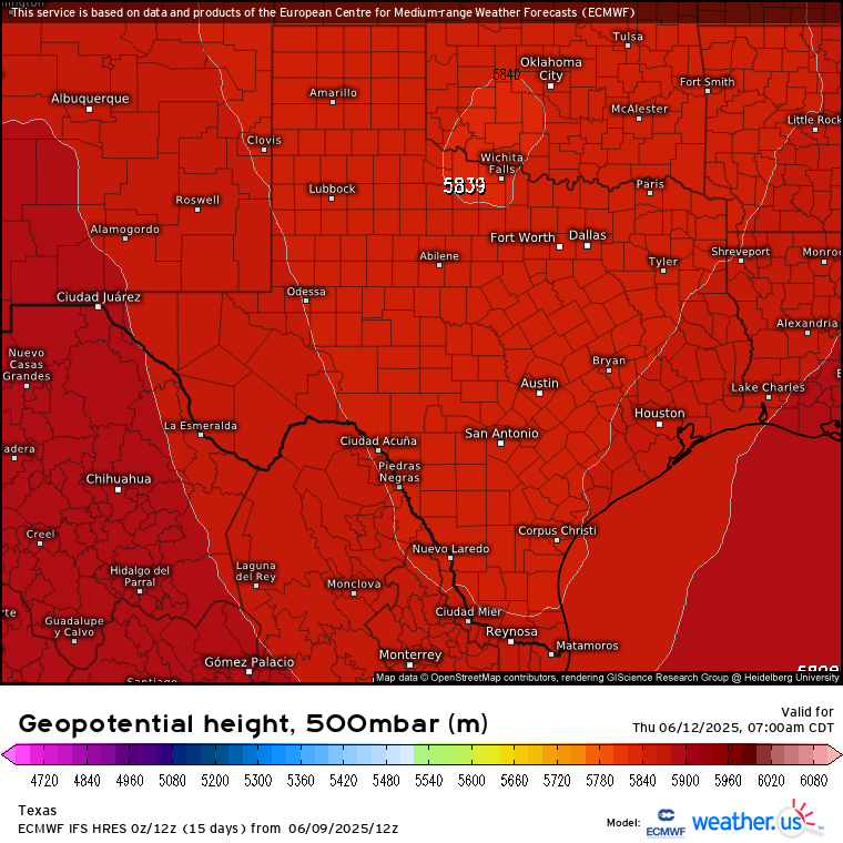
Looks very convectively interesting (San Antonio - Houston region & south), Wednesday - Thursday this week. Severe risk with some DL shear, but looks to be more-so heavy rainfall and flooding now being June (precipitable water getting above 2 in.) Both Euro & GFS trending up on totals near 10" in the state mainly on just those 2 days from a fairly stout, slow moving upper trough diving unusually further south in the state. WPC is bound to issue moderate excessive rainfall risk over mid-coast region up to Houston midweek. H5 heights are likely to drop below 590 and may even be closer to 585 in STX. Which translates to 500 Mb temps still closer to -10 C. Going below normal for June standards.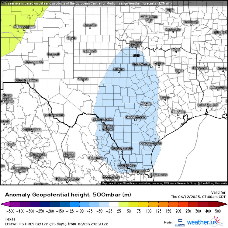

-
Nws mentioned the possibility of discrete cells forming ahead the main show and that appears to be happening. Tonight will be rocking for most of us.
-
Slightly grimier version of the what you'd see at the tip of the CC canal..but pretty close today!
-
True-it’s not quite warm enough for winter.
-
That's true. Would have my son do it tomorrow...buuuutttt rain.
-
It’s hard to find time to mow the lawn between rain, work, and events.
-
Yeah. I can smell the smoke.
-
On the bright side, at least it's not winter.
-

2025 Short Range Severe Weather Discussion
Chicago Storm replied to Chicago Storm's topic in Lakes/Ohio Valley
The activity that moved through parts of the metro area yesterday afternoon over-performed expectations on what was an isolated/low quality potential day. The main severe t’storm just missed home by about 2 miles or so, but I took a drive down the road into Batavia and encountered 2.00” hail and ~60MPH winds. After it passed, I drove another block or so down the road and found some 2.50” hail stones laying in the grass. This wasn’t a true big hail, as it was just spiky smaller hail (See pics). The worst of it all was in the subdivision to the east of where I sat, where 70-90MPH downburst winds occurred with 2.50” hail as well. I drove through this area post-storm, and there were hail piles everywhere, high quality hail fog, shredded trees, and widespread significant tree damage. -
It's smokey and cold. This sucks.
-
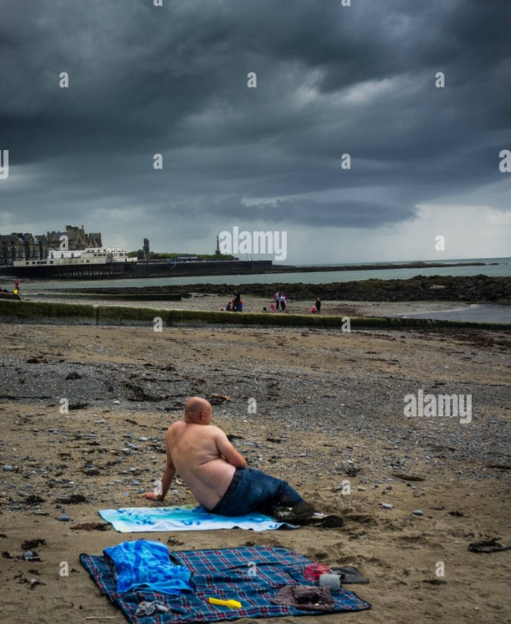
Lol, wife spotted this person at Logan. Maybe they're surfing AmWx Sent from my SM-S921U using Tapatalk
-
I’m thinking a couple good drinks are in order this evening to take the sting off this dreary weather today. Perhaps an espresso martini, or two?
-
I'm bored....last few days of vacation for chasing so may as well utilize it. Was watching Twisters the other night along with what was going on in the southern Plains the last few days and I think next year is definitely going to be going out west. If I am ever going to make that happen it has to be in the next year or two.
-
61.5 was the high. About the average for Christmas.
-
Save some money, stay home..... maybe mow the lawn.
-
Hope it’s electric.
-
hoping to go into NW Berkshire county tomorrow...maybe up around Albany if it looks good for some lightning at least
-
About time for some deranged tiger to chime in about how it's actually a pretty nice day in Shutesbury.
-
Looks like the sun will come out tomorrow around 4 PM, we won't have to wait for Wednesday to clear out. It will rain in the morning, dry out by noon and clear out by 3-4 pm.
-
Keep me posted
- Today
-
eastern NY into Berkshire County definitely game on for a few strong thunderstorms late tomorrow afternoon and early evening. May see a marginal risk with 13z update tomorrow.
-
There's Tip with a gun over there?
-
60° w/ sheet drizzle in June the stuff that gives ineedsnow a pants tent
-

2025 summer max contest -- enter by 06z June 23
toolsheds replied to Roger Smith's topic in Mid Atlantic
DCA: 99F IAD: 97F BWI: 99F RIC: 101F

.thumb.jpg.6a4895b2a43f87359e4e7d04a6fa0d14.jpg)