All Activity
- Past hour
-
I'm seeing stories comparing this to the El Nino of 1877-78 which they say was the year without winter in North America. But looking back, Knoxville was near normal in December and -1.2 in Jan and similar in Feb. The El Nino developed in Jan 1877 and peaked in November.
-

Augdewst 2026: Summer's Last Stand
Damage In Tolland replied to Prismshine Productions's topic in New England
Yup. We miss -
Augdewst 2026: Summer's Last Stand
Damage In Tolland replied to Prismshine Productions's topic in New England
Might be joining you . Most of this may miss north -

Augdewst 2026: Summer's Last Stand
HoarfrostHubb replied to Prismshine Productions's topic in New England
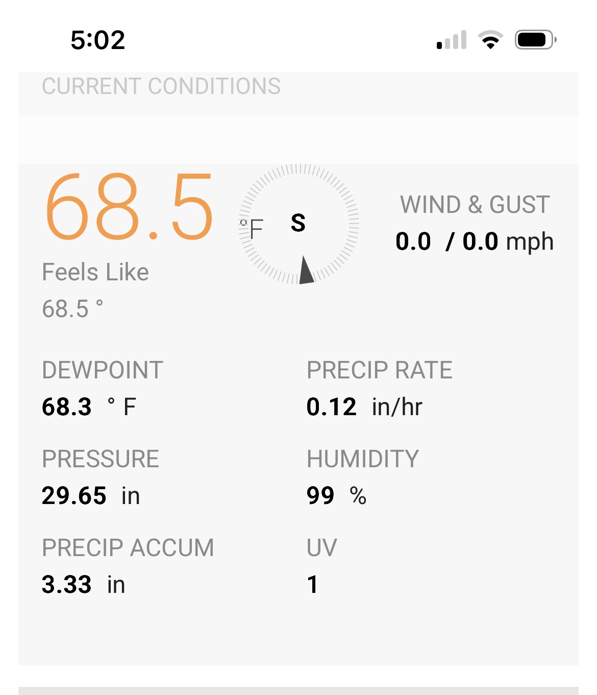
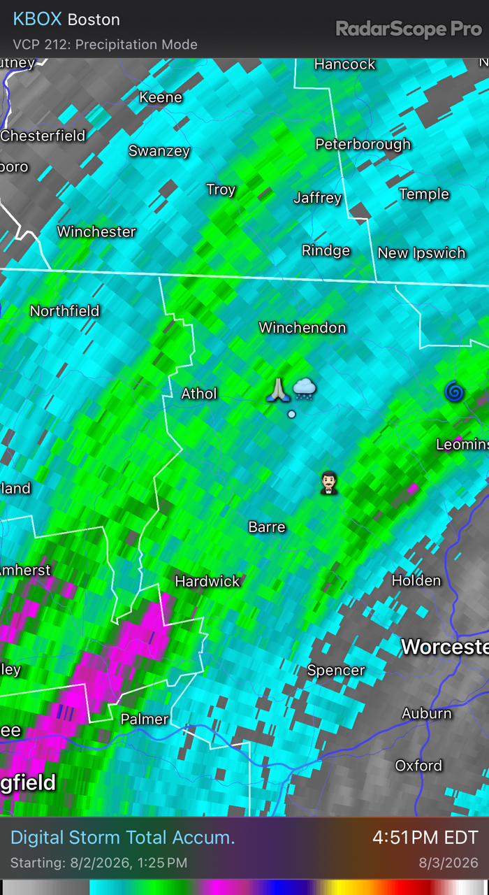
3.33” thus far. Might do it.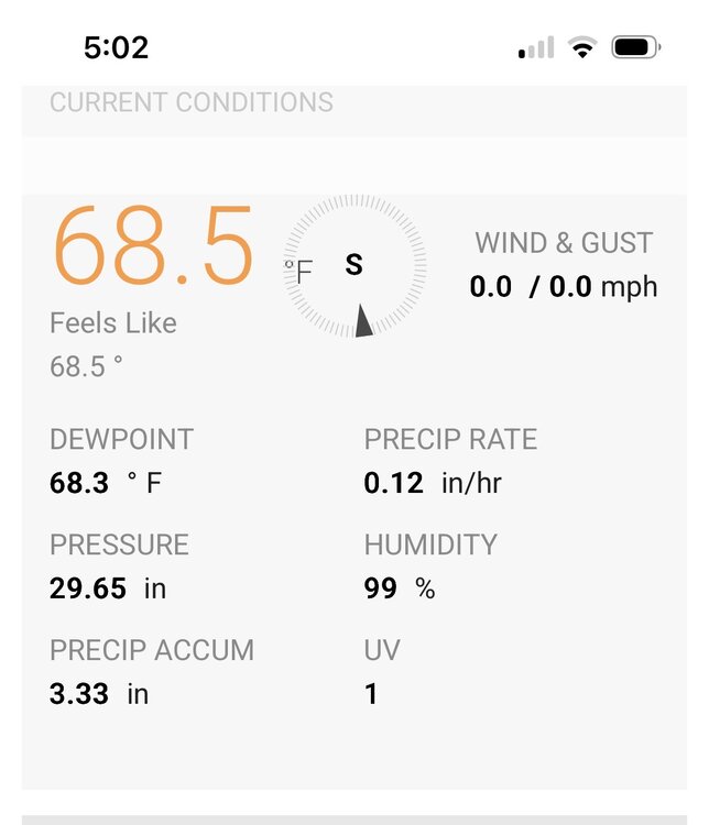
-
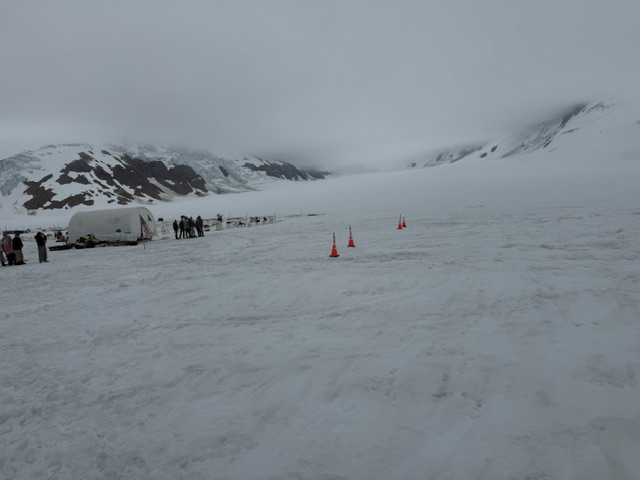
Getting a preview of things to come in Alaska
-

Augdewst 2026: Summer's Last Stand
ineedsnow replied to Prismshine Productions's topic in New England
North side of town by templewood golf course -

Augdewst 2026: Summer's Last Stand
dendrite replied to Prismshine Productions's topic in New England
You and Dave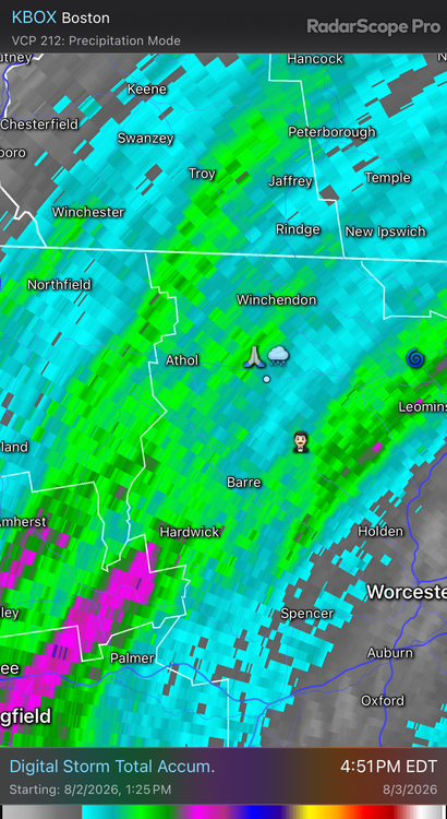
-
Augdewst 2026: Summer's Last Stand
dendrite replied to Prismshine Productions's topic in New England
Actually just looked at radar estimates and actual obs in that area and I think that number looks right. Not sure where in town he is, but there was a little min zone in there. -
Augdewst 2026: Summer's Last Stand
ineedsnow replied to Prismshine Productions's topic in New England
Unless it was this past winter -
A few locations could still see a shower or thundershower this evening. Most of the region will likely be dry. Rainfall totals through 4 pm include: Bridgeport: 0.97" (old record: 0.95", 1954) Hartford: 3.54" (old record: 3.18", 1954) ***7th Highest August Daily Amount*** Islip: 1.89" (old record: 1.36", 1987) New York City-Central Park: 1.93" New York City-JFK Airport: 2.75" (old record: 1.90", 1948) New York City-LaGuardia Airport: 1.22" Newark: 2.27" (old record: 1.60", 1885) Westfield: 1.69" Westhampton: 1.63" (old record: 1.41", 1961) Worcester: 1.52" (tied record set in 1996) No exceptional heat is likely through the first week of August. However, it will turn warmer during the second half of the week. The ENSO Region 1+2 anomaly was +4.1°C and the Region 3.4 anomaly was +2.3°C for the week centered around July 30. For the past six weeks, the ENSO Region 1+2 anomaly has averaged +3.53°C and the ENSO Region 3.4 anomaly has averaged +2.02°C. The ongoing strong El Niño, which has reached super El Niño threshold, will continue to strengthen through the summer. The SOI was -10.38 today. The preliminary Arctic Oscillation (AO) was -0.154 today.
-
Augdewst 2026: Summer's Last Stand
ineedsnow replied to Prismshine Productions's topic in New England
@HoarfrostHubb one town over was at 3.25 before.this even came in and I was probably around that.. this easily dropped another inch or more -
 If you browse explore their catalog, you will instantly notice the price difference.
 -

Central PA Summer 2026 Discussion/Obs Thread
Elim72 replied to Voyager's topic in Upstate New York/Pennsylvania
My final total was 5.59. -

Augdewst 2026: Summer's Last Stand
CoastalWx replied to Prismshine Productions's topic in New England
It’s always wild in Templeton. -
2.28” central suffolk
-
Augdewst 2026: Summer's Last Stand
dendrite replied to Prismshine Productions's topic in New England
So 2-2.5" -
Augdewst 2026: Summer's Last Stand
HoarfrostHubb replied to Prismshine Productions's topic in New England
There was a brief gust of wind. Torrential rain for a few minutes. Back to lighter stuff now. -
Augdewst 2026: Summer's Last Stand
ineedsnow replied to Prismshine Productions's topic in New England
Didnt look yet but guessing around 4 or 5.. just went to the store quick -
Augdewst 2026: Summer's Last Stand
HoarfrostHubb replied to Prismshine Productions's topic in New England
It’s still all dirt and rock (but incredibly packed down and smooth). Paving hopefully starts later this week -
Augdewst 2026: Summer's Last Stand
Damage In Tolland replied to Prismshine Productions's topic in New England
Somethings coming .. with no thunder -
Augdewst 2026: Summer's Last Stand
CoastalWx replied to Prismshine Productions's topic in New England
Interesting two area jack like last week again. Maybe off by some, but same general idea. The earlier stuff sort of set up a nice convergence zone on south coast. You could see the LLJ on radar stop abruptly in Srn RI and SE MA. Quite the gradient in PYM with barely any near the canal to over 3” closer to the airport. -
1.56 for event but places close by me got over 2 inches
-

Augdewst 2026: Summer's Last Stand
WxWatcher007 replied to Prismshine Productions's topic in New England
The torch has been passed -
If we get a new GM it may not have to take that long. We've got enough here to turn it around in a year, imo
-
Augdewst 2026: Summer's Last Stand
dendrite replied to Prismshine Productions's topic in New England
Depends on how much beer