brooklynwx99
-
Posts
6,233 -
Joined
-
Last visited
Content Type
Profiles
Blogs
Forums
American Weather
Media Demo
Store
Gallery
Everything posted by brooklynwx99
-
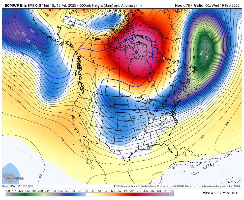
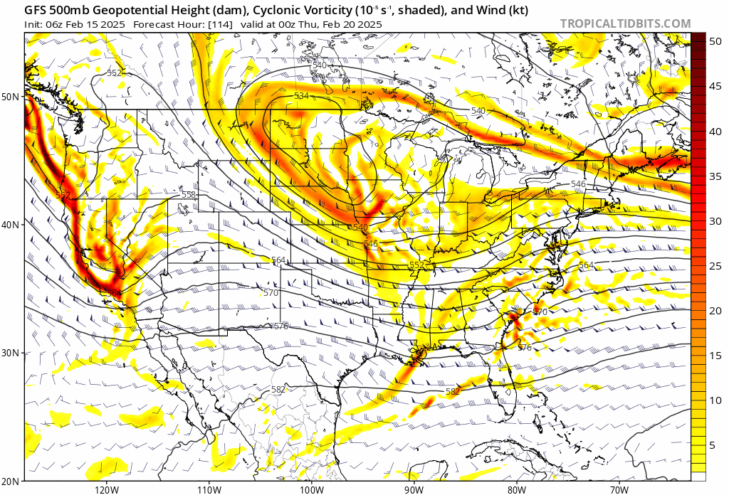
 pattern is about as good as it gets. every model had a MECS with the GFS joining the party 120 hours out and the EPS locked in. gone in 12 hours. it's just cruel at this point
 -
i know people unrightfully bash models, but I'm going to. absolutely appalling performance from D5. should not happen
-
AIFS is actually a hit. shocked
-
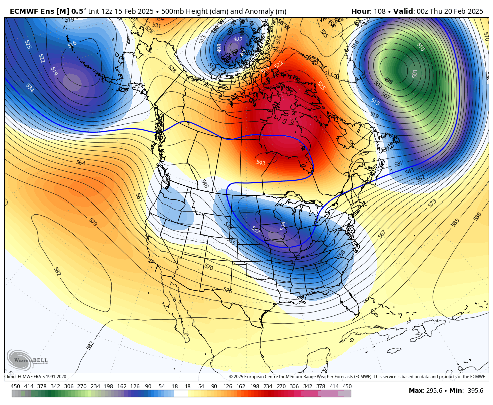
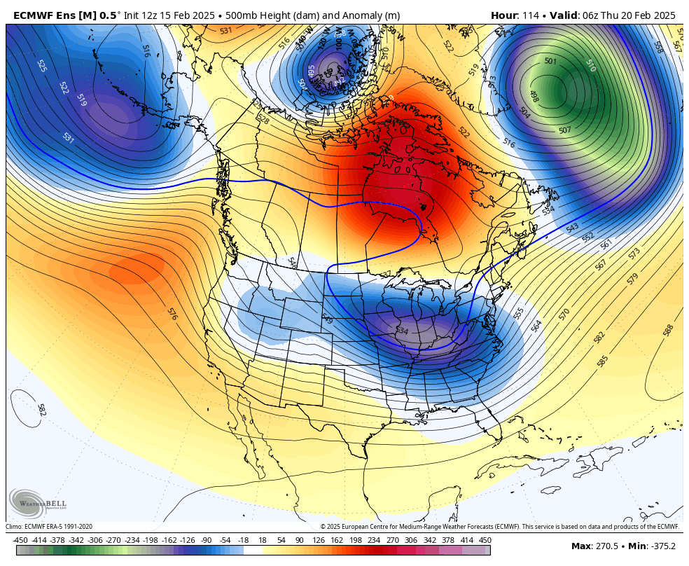
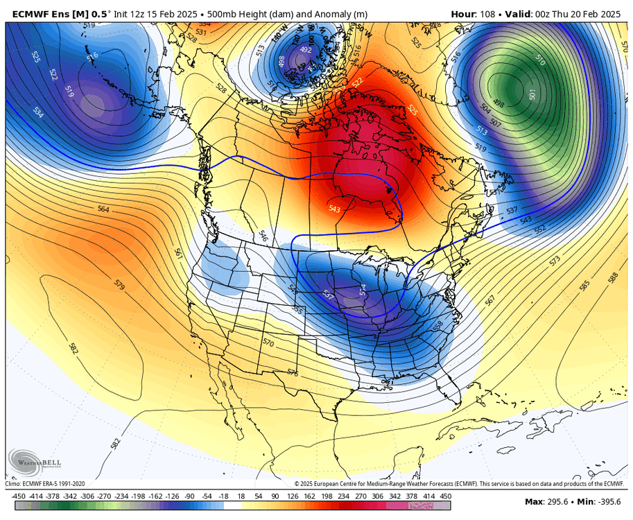
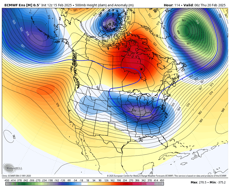
EPS was a pretty notable improvement. stronger ULL and less confluence

-
almost certainly. probably some weird double barrel action in there too that leads to the model plotting the center east
-
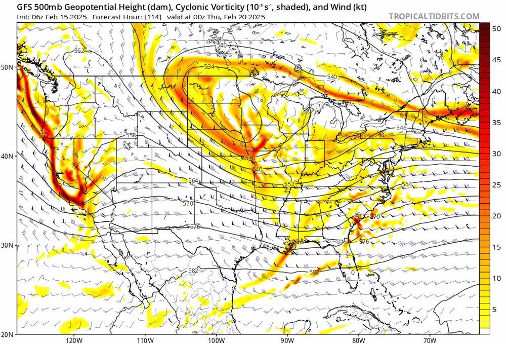
ULL more amped too
-
it looks more consolidated with less confluence. should improve

-
pretty notable improvement. this is teetering on a knife’s edge

-
FWIW, 18z was a start. this is a nice change with less destructive interference out west and a more amped ULL
-
that isn't all that surprising at this range
-
so much better
-
given that the AIFS is a machine learning model and it does not have much of a frame of reference for this kind of setup, it's no surprise that it would struggle
-
lol
-
lol

-
AIFS is... a hit! well, sorta. it's shifted hundreds of miles west in the last two runs

-
the AIFS moved pretty far west at 00z. and I don't think the graphcast GFS is any good. but I agree that nothing is set in stone. I'd take the latter camp over the former, though
-
tucked inside the BM. idk i've seen it used like that before quite frequently
-
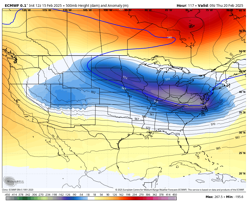
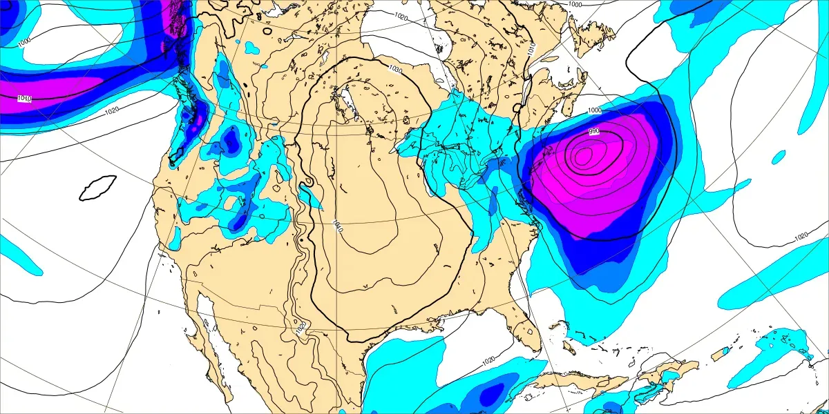
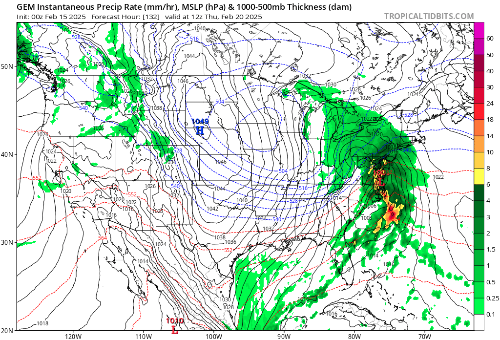
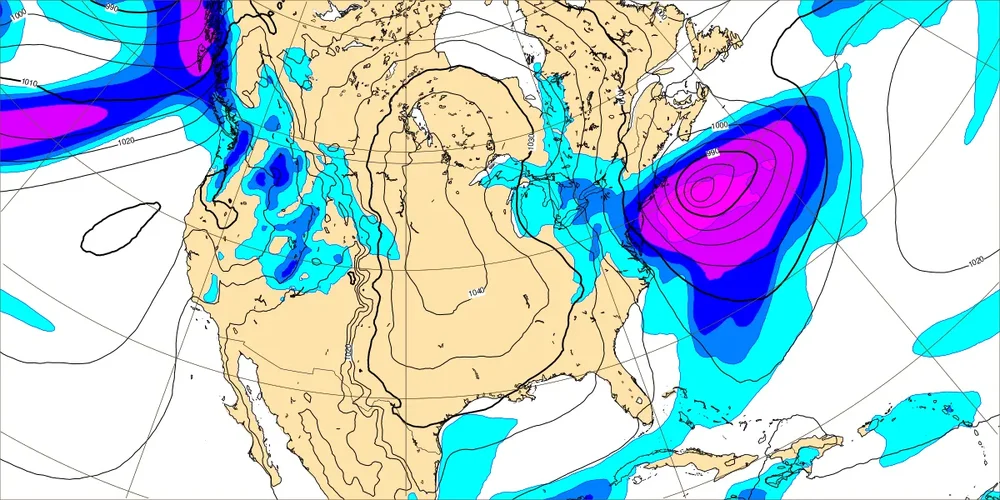
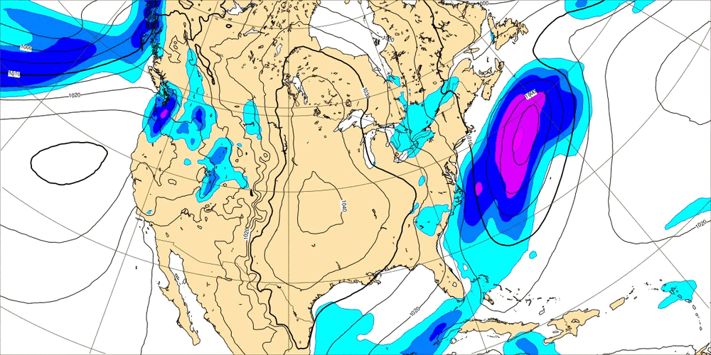
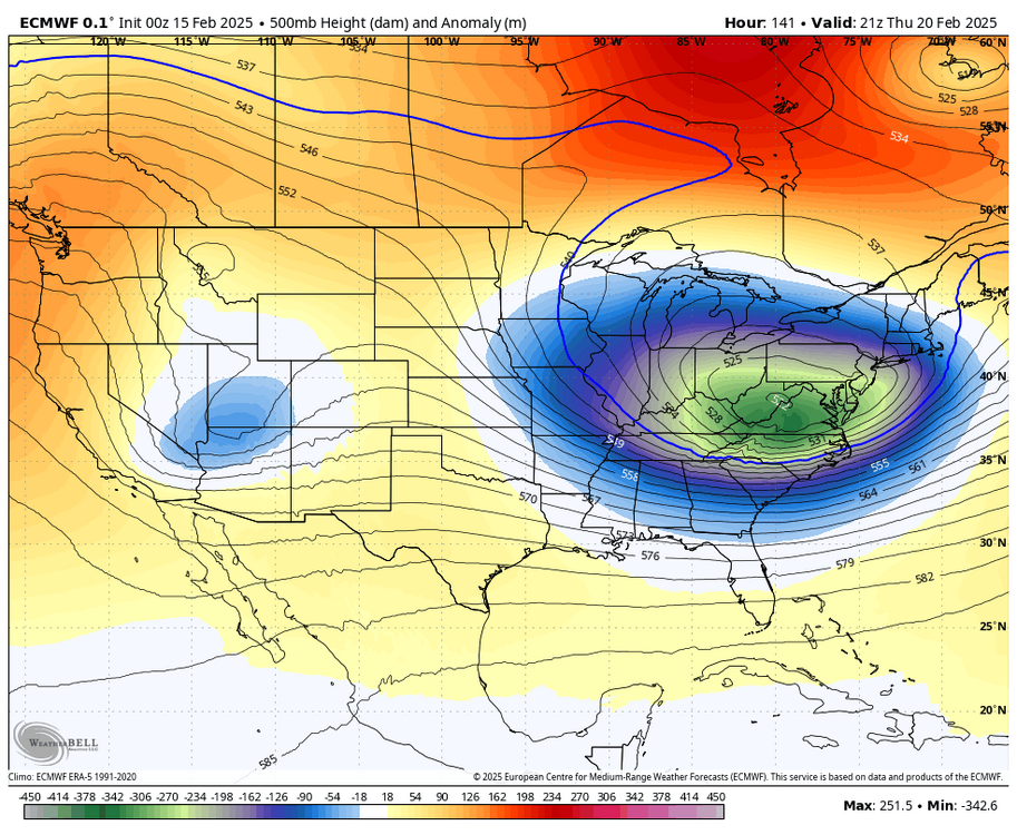
all I can say for the ECMWF is holy fuck. that is all
-
no, just 1-2 feet of snow
-
ECMWF is a tucked bomb
-
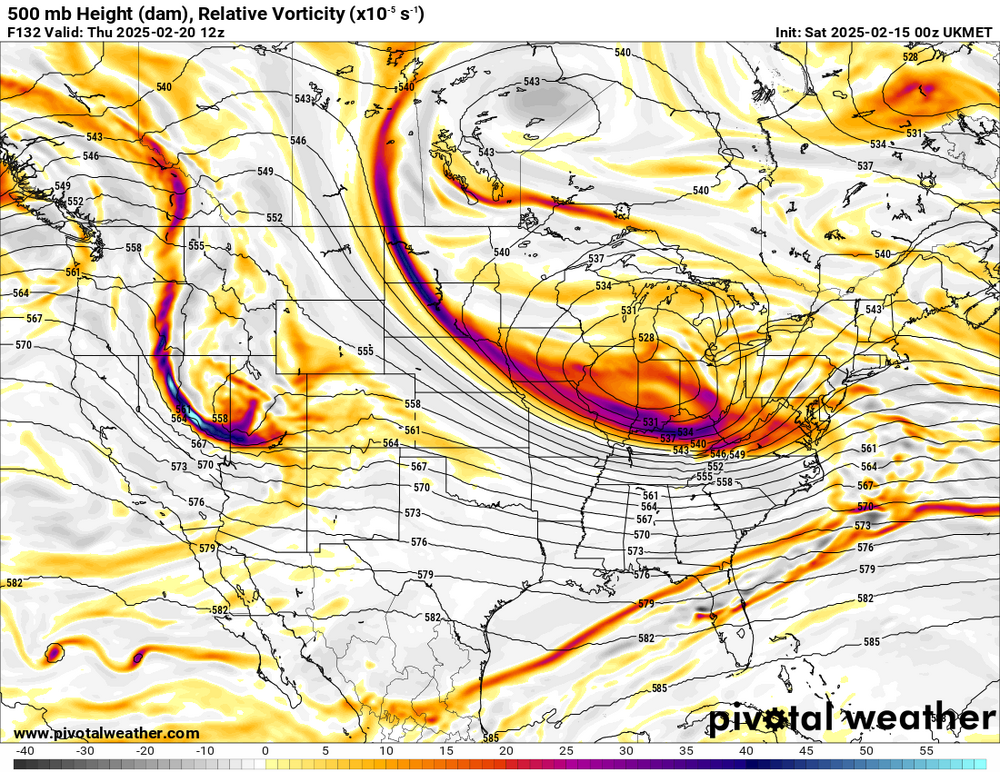
UKMET is an absolute ripper
-
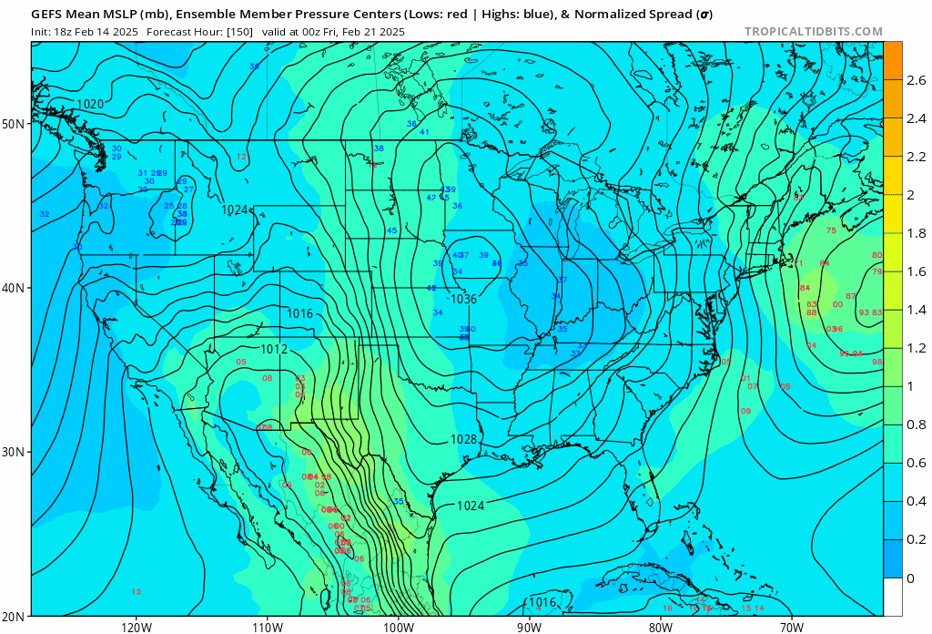
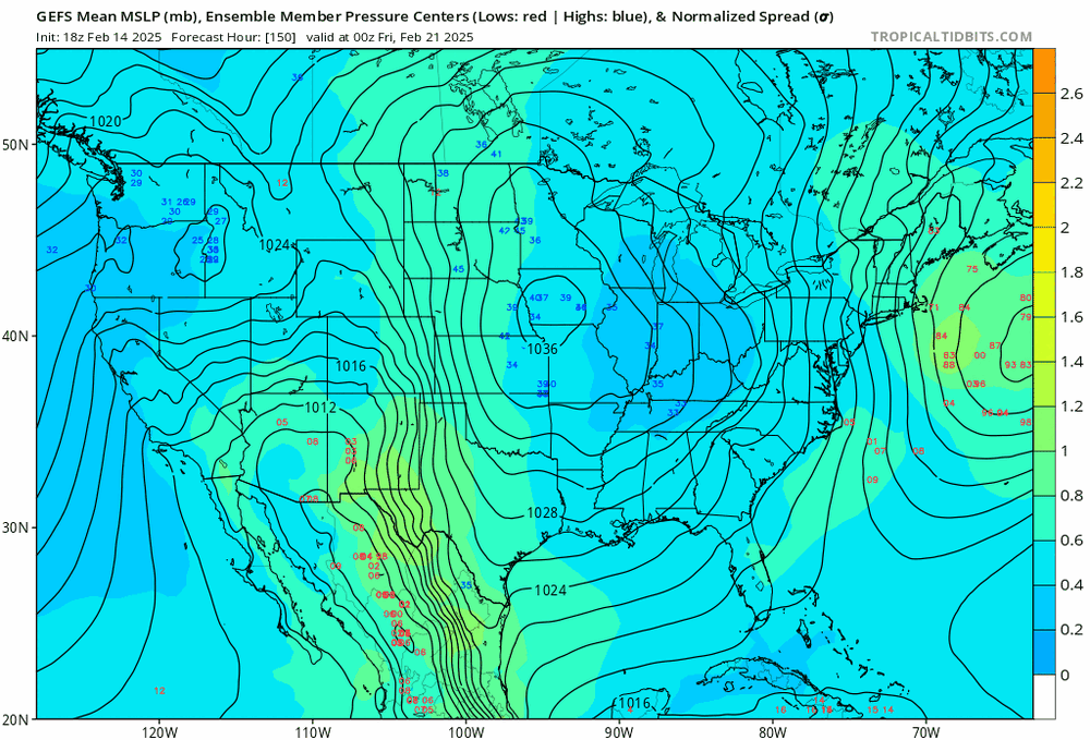
GEFS is slower with more tucked members
-
GEFS is also slower with more tucked members
-
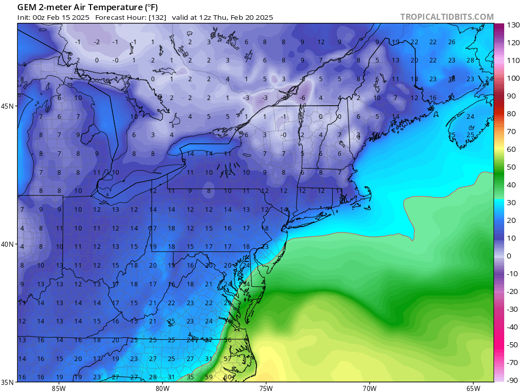
it's in the single digits before the low arrives. the antecedent airmass is pristine

-
lol what?