

WxWatcher007
-
Posts
36,088 -
Joined
-
Last visited
Content Type
Profiles
Blogs
Forums
American Weather
Media Demo
Store
Gallery
Everything posted by WxWatcher007
-
 Keep the trend going please
 -
Not a flake here. No expectations and I’m pretty sick right now. Oh well.
-
I will feel much better about prospects of getting to climo here if the active pattern continues after the pattern change. I’m just dubious of it right now.
-
Right. It is what it is. I am happy that at least part of the subforum is likely to cash in. Hope we can get in on the fun too.
-
Yup, and we know that’s usually fraudulent. Always a long shot, but Monday is on life support here. Still time for the second wave.
-
-
I can smell something…
-
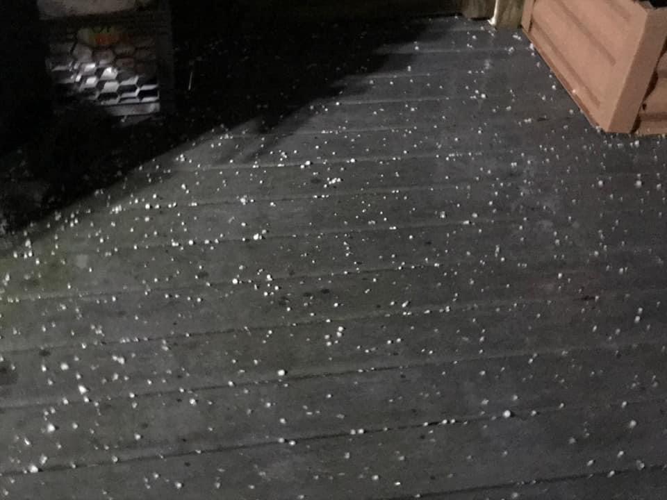
Multiple followers reporting hail in New Haven. A pic from one.
-
I think the rumbles of thunder are a sign.
-
-
Plenty of time for congrats PF
-
I was coming to say the same thing. That’s a good Monday hit…just north of CT.
-
I do think this upcoming pattern opens the window into early Feb, followed by a return to torch and maybe the shift back to active and conducive that Ray and others have discussed at the very end. I don’t think Feb is wall to wall torch.
-
I would say that we don’t know what’ll happen, but we can read the tea leaves to make an educated guess and I don’t think anyone here would say we see below normal odds of a torch at least part of Feb, and not just because of Nina climo. To be clear, I’m not trying to be negative. I want cold and snow and lots of it. I’m just bearish until I actually see meaningful change here. No doubt it’s getting better the next week in NNE.
-
I don’t think anyone’s out of line? I mean, people are actually discussing if it can snow again in other subforums. We’re in a bad pattern in awful season thus far. We have chances over the next week. All of them are longer shots in SNE. Nina climo torches some if not a majority of February. I mean, those are the facts and you can’t sugar coat that even in strict pattern or signal discussion IMO. I think there are very few who are actually trolling and if we had a serious threat complaints would stop almost immediately…until the storm ended. I’m just saying on the spectrum of wailing and gnashing of teeth, this is pretty tame.
-
Prayer is all we have lol. We hope that’s enough this time.
-
I know this one hits different for a certain poster in Tolland.
-
-
At least this time with the euro it hasn’t flipped to unadulterated bile and held there yet. There’s still a lot that needs to go right, but it’s not worth punting either event next week yet.
-
A quick shot of morphine as we drift into winter weenie oblivion?
-
-
I shoveled and salted after my 4 and change. First time at my first home
-
You’re a machine.
-
I love the historical look backs.
-


