hudsonvalley21
-
Posts
4,248 -
Joined
-
Last visited
Content Type
Profiles
Blogs
Forums
American Weather
Media Demo
Store
Gallery
Everything posted by hudsonvalley21
-
Butterhill. It still is on the short end. I think it’s orographics, elevation, and proximity to Storm king mtn.
-
More like this

-
You can almost hear the wiring dry rotting
-

-
The same here a little over 3” and the same texture.
-
Enjoy!
-
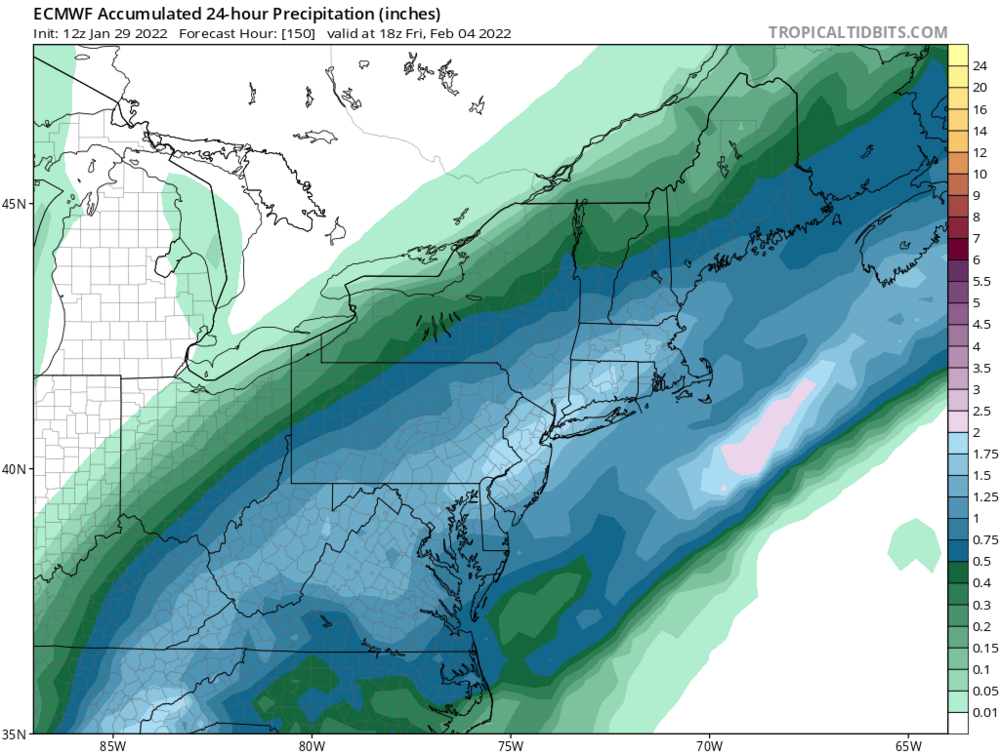
Over this way it’s giving 1.5” of QPF which I assume will be frozen. Nice pattern.

-
-
How much for philly
-
January 28/29 Blizzard Observations/Discussion/Nowcasting
hudsonvalley21 replied to Northof78's topic in New York City Metro

-
3 feet here without drifting on my Irishrob approved snowboard.
-
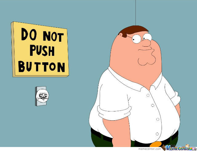
We’s just a bunch of hillbillies anyway
-
Currently 25/21 here. Dewpts only dropped 4 in the last 4 hours.
-
Moving nicely, not sure but looks to be a little more westerly and moving northerly up the NJ coast. Not sure if this was forecasted.
-
Million dollar answer for a million dollar question.
-
Could that be from a strung out low or a double barrel system vs a single deeper single low?
-
Not sure, I think I remember seeing that sometimes a low pressure center could be drawn to or follow warmer waters.
-
Early evening, and not so much the models, it will be location of the low and development.
-
And with the sharp cutoff of precipitation, a 25-50 mile wiggle will make a huge difference. Models are used for guidance, with a complex system such as this one, anything goes.
-
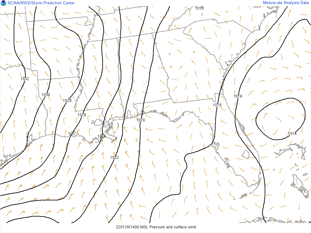
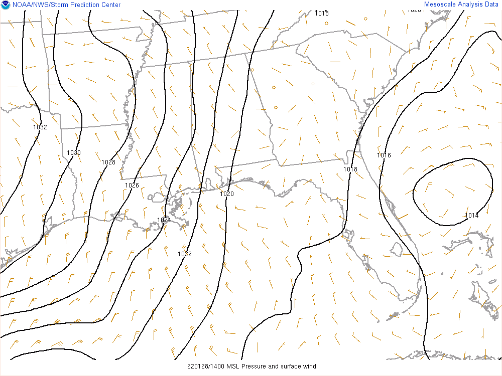
Agree, just a waiting game now and watch the surface pressure drops.
-
January 28/29 Blizzard Observations/Discussion/Nowcasting
hudsonvalley21 replied to Northof78's topic in New York City Metro
-
-
It looks like the southern area of circulation is taking over
-
So sorry for you and your families loss. Hopefully this storm could bring a smile in a sad time and maybe his spirt is helping this storm shift westward for you.