hudsonvalley21
-
Posts
4,248 -
Joined
-
Last visited
Content Type
Profiles
Blogs
Forums
American Weather
Media Demo
Store
Gallery
Everything posted by hudsonvalley21
-
Never heard of them. I know. Moe, Larry and curly.
-
I’ll embarrass him and show one of his finest photos
-
3.80” here. Light snow currently.
-
It wouldn’t be whiff now would it.
-
2/13 Light/Moderate Snowfall Nowcasting & Observations
hudsonvalley21 replied to Northof78's topic in New York City Metro
If this is the result we’ll get. I’d rather have mostly sunny skies and move on. -
Mud just on the surface. Frozen underneath. Snow cover it, or shut down winter and let’s move on.
-
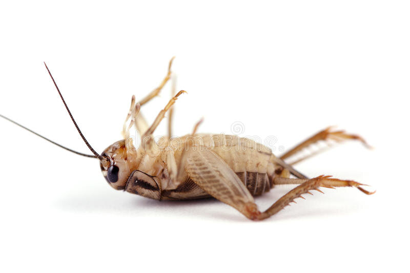
Very quiet crickets
-
Hopefully you’re ok. Black ice here on untreated surfaces. 32 degrees currently.
-
Quite the event, very impressive. We lucked out vs. the folks up in Ulster county.
-
That’s how he would buy his car

-
I see the forecast low for you up there is -12.
-
Everything can go wrong, so let’s La La lock it up and get called weenies. oops my bad, I forgot this is the interior thread.
-
And 23 here currently up the Hudson River valley. Temps have been 32 or lower since 2am at KSWF.
-
Congrats
-
The snow and sleet will give you some traction.
-
I just threw down calcium chloride a few times today. I’ll leave the ice pellets alone for traction. I’ll chop it tomorrow.
-
Forecast low of 15 tonight. Went out to de-ice the car. Doors were frozen from last nights rain. Folks should go out now and de-ice plus throw down some salt.
-
25 with freezing drizzle currently.
-
The limbs on some trees are bending here too. Also a slight occasional breeze is moving them around. Not going to be good.
-
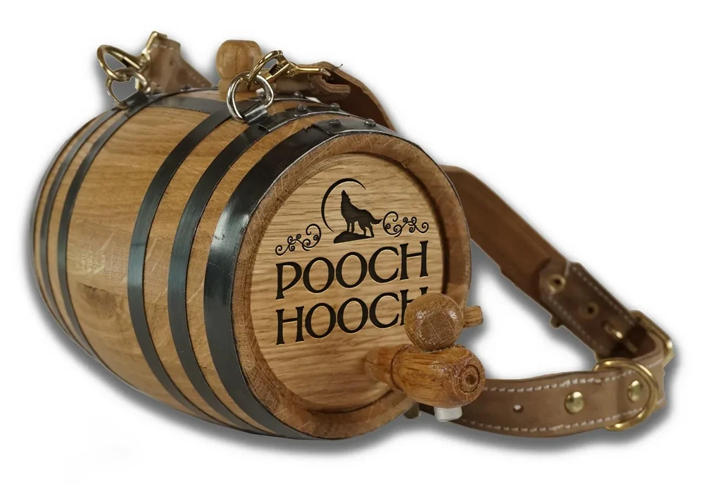
Don’t forget to top off the dogs barrel
-
28 and now ice pellets mixing in. Thank god for that, was tough to take out the dogs earlier, at least the pellets are making for some traction.
-
33/32 here. 1.11 in the bucket. Cold air is here sooner than forecasted. No fun at all.
-
Definitely is ahead of schedule.