Wxoutlooksblog
-
Posts
1,086 -
Joined
-
Last visited
Content Type
Profiles
Blogs
Forums
American Weather
Media Demo
Store
Gallery
Everything posted by Wxoutlooksblog
-
How many days in a row now have we seen winds out of an easterly quadrant? It seems like since the first week of September. WX/PT
-
Still looking for warmth at some point during the first ten days of October probably out ahead of a likely to be developing hurricane somewhere in the GOM or off the east coast. WX/PT https://www.tropicaltidbits.com/analysis/models/ec-fast/2024092512/ec-fast_z500_mslp_us_10.png
- 1,154 replies
-
- 1
-

-
- tropics
- heavy rainfall
- (and 3 more)
-
I'm getting a feeling of an extremely warm second period in October from around the 6th-10th. We'll see, lots can and will change. WX/PT
- 1,154 replies
-
- 2
-
-
- tropics
- heavy rainfall
- (and 3 more)
-
I'm going to guess based on what I see, maybe early October 50% chance then the stuck up pattern reloads for most of October and a complete break from this pattern in late October or early November. WX/PT
-
Here's what the GFS is impressed with. And it makes some sense. The cut-off over the Ohio Valley sucks it right up along the coast. But it's a long ways away and could just as easily end up in the Gulf of Mexico. WX/PT https://www.tropicaltidbits.com/analysis/models/gfs/2024091700/gfs_mslp_pcpn_frzn_us_49.png
-
Winds out of an easterly quadrant for virtually the entire month. Amazing. I still think any rain amounts in the NYC Metro would likely be on the lighter side this week. Next week maybe better. Temperatures continue above normal but not as much so. WX/PT
- 1,154 replies
-
- 1
-
-
- tropics
- heavy rainfall
- (and 3 more)
-
I still have a hard time seeing much if any of the rain to our south getting in here during the mid week period. I think the dry high pressure ridge will win out with maybe somehow a few light showers working their way across our region (drier especially NYC and points north and east). I think it remains generally on the dry side through this week with continued above normal temperatures. The models continue to flip back and forth. I tend to dismiss the wetter runs. A chance of showers is reasonable in the forecast for Wednesday into Thursday. WX/PT
- 1,154 replies
-
- 1
-
-
- tropics
- heavy rainfall
- (and 3 more)
-
The big low in the north Atlantic will locks in the high pressure ridge and in turn does not allow the significant rainfall to get any further north or northeast. The coastal low will heads out to sea from this point. WX/PT https://www.tropicaltidbits.com/analysis/models/gfs/2024091500/gfs_z500_mslp_atl_21.png
- 1,154 replies
-
- 3
-
-

-

-
- tropics
- heavy rainfall
- (and 3 more)
-
Watching a series of upper lows in the north Atlantic. They have a tendency to flatten the high pressure ridge in the east if they are far enough south. This in turn allows for a little more normally west to east progression of weather systems and also allows the moisture from low pressure to move northward then northeastward affecting the NYC Metro Region Tuesday night into Wednesday. Because of the strong high pressure ridge over us, the moisture and associated low pressure to the south can also be sheared apart if it tries to move to the northwest around the ridge or kicked out to sea. The European model is showing a full variety of these options from run to run. It seems now reasonable to forecast a chance of rain from Tuesday night into Wednesday night. The Euro then rebuilds the ridge to fill in the weakness that was created behind the exiting and dissipating low pressure. WX/PT https://www.tropicaltidbits.com/analysis/models/ecmwf/2024091400/ecmwf_z500_mslp_atl_53.png
- 1,154 replies
-
- 2
-
-

-
- tropics
- heavy rainfall
- (and 3 more)
-
I don't usually but I might tend to side with the GFS and Euro AI. The way the Euro develops a storm on or near the coast right after Francine's remnants dissipate looks suspect a-la February pattern with blocking HP over the Great Lakes and northeast. With such a strong ridge I don't think it happens and most likely the rain and associated low pressure never get this far north. I might be wrong, but that's my early take on this. WX/PT
- 1,154 replies
-
- 1
-
-
- tropics
- heavy rainfall
- (and 3 more)
-
This looks like near record breaking heat from the mid west into Ontario and portions of Quebec and above normal temperatures for everyone in the northeastern U.S. and mid Atlantic States. WX/PT https://www.tropicaltidbits.com/analysis/models/ec-fast/2024090812/ec-fast_z500_mslp_us_11.png
- 1,154 replies
-
- 1
-
-
- tropics
- heavy rainfall
- (and 3 more)
-
You may have to be inland to be eligible but it's still not entirely clear. The GFS seems to have a fundamental error in developing low pressure (tropical or not) in the Atlantic near the east coast. Most of the other modeling seems to place a tropical system somewhere in or at leasts closer to the Gulf of Mexico which I think is probably closer to accurate. So the question remains how close to us HP will be as to whether our winds are sw or s-sw or light variable going to onshore during the afternoon and evening hours. This could make a 10+ degree difference in temperatures on and near the coast. So at this point best we can say is that NYC and points east will have high temperatures somewhere between and inclusive of the upper 70s to lower 90s. WX/PT
- 1,154 replies
-
- 1
-
-
- tropics
- heavy rainfall
- (and 3 more)
-
There are a couple of 90 days on the EC-AIFS. We'll see. WX/PT
-
There's no heat dome for the foreseeable future now at least not on the east. Maybe not until next season. It looks as though our area maybe have a few days in the mid-upper 80s but at least at this point, I'm not seeing any more 90s in NYC. I suppose there's an outside chance in the second or third week of September but the maps appear to be trending steadily cooler. We'll see. WX/PT
- 1,764 replies
-
- 7
-
-

-
- hurricanes
- tropics
- (and 5 more)
-
Kinda back building. You think the storm is moving passed you but then you see more lightning ahead of you. Tremendous nocturnal energy that we don't see often. WX/PT
- 1,764 replies
-
- 1
-
-
- hurricanes
- tropics
- (and 5 more)
-
Booming thunder here even though I think the storm is still southeast of me. WX/PT
-
80s maybe 90s or near 90. WX/PT
-
50% chance. More clouds and storms in the area. WX/PT
-


-
I think twice is most likely, a shot at three times, also a shot at one or zero times. It will be interesting to see how this unfolds. Daily high temperatures probably occurring earlier in the day than usual. WX/PT
-
Looking at the GFS tonight I think there's a developing possibility that Central Park may not hit 90 degrees all week into the weekend. Yes it still may be a long shot, but on the latest GFS maps the high pressure is too far north and it does not really move south, it moves east and what replaces by the weekend is a backdoor cold front, a weak one at that, but enough to trigger showers thunderstorms and lots of clouds to keep temperatures down. We shall see about this. WX/PT
-
I knew this. There is no question in my mind that they had 26. There might be another missing too. I recall there was more than one in September. WX/PT
-
Of course it could and actually exceeded that number as recently as 2022. WX/PT
-
We'll see if the over the top heat scenario doesn't repeat throughout this summer. I do not often remember this from way back in the 50s and 60s and only on rare occasions in the 1970s. Could it be partly a function of climate change that has almost permanently relocated summertime ridges further north that they would have been years ago? If this continues it will have the effect or reducing the overall number or 90+ days at Central Park. Maybe the park ends up with 5-11 90+ days rather than the 25+ which might have been while Burlington Vt notches the 25+. WX/PT
-
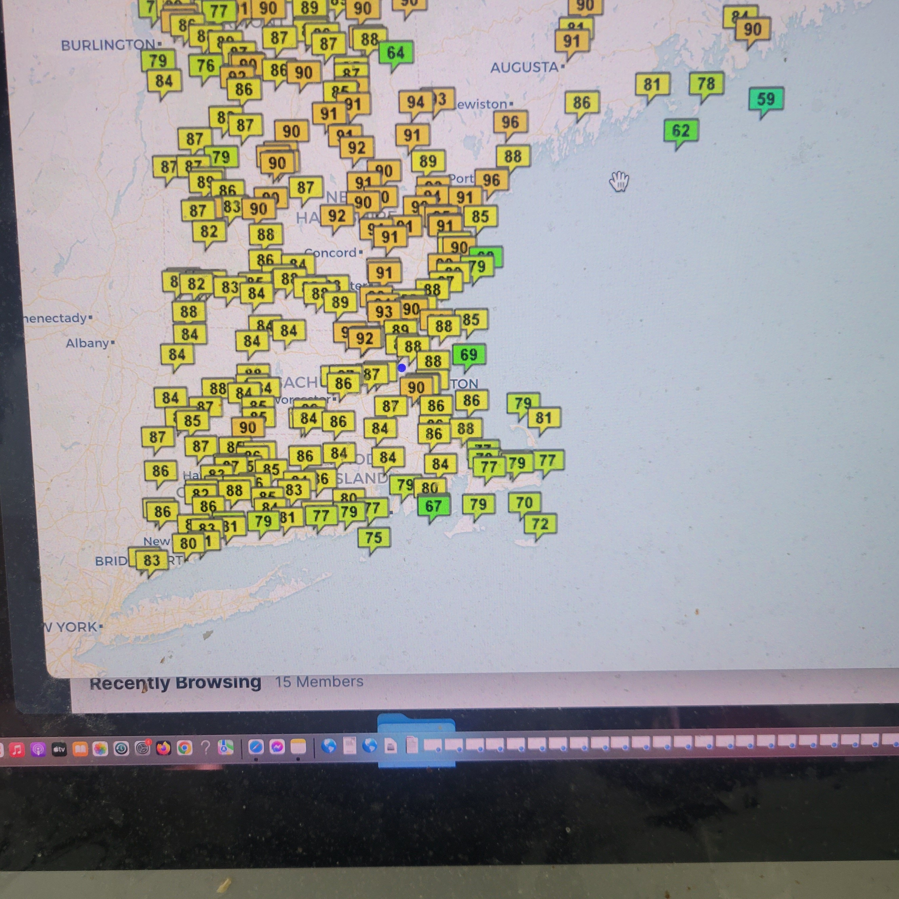
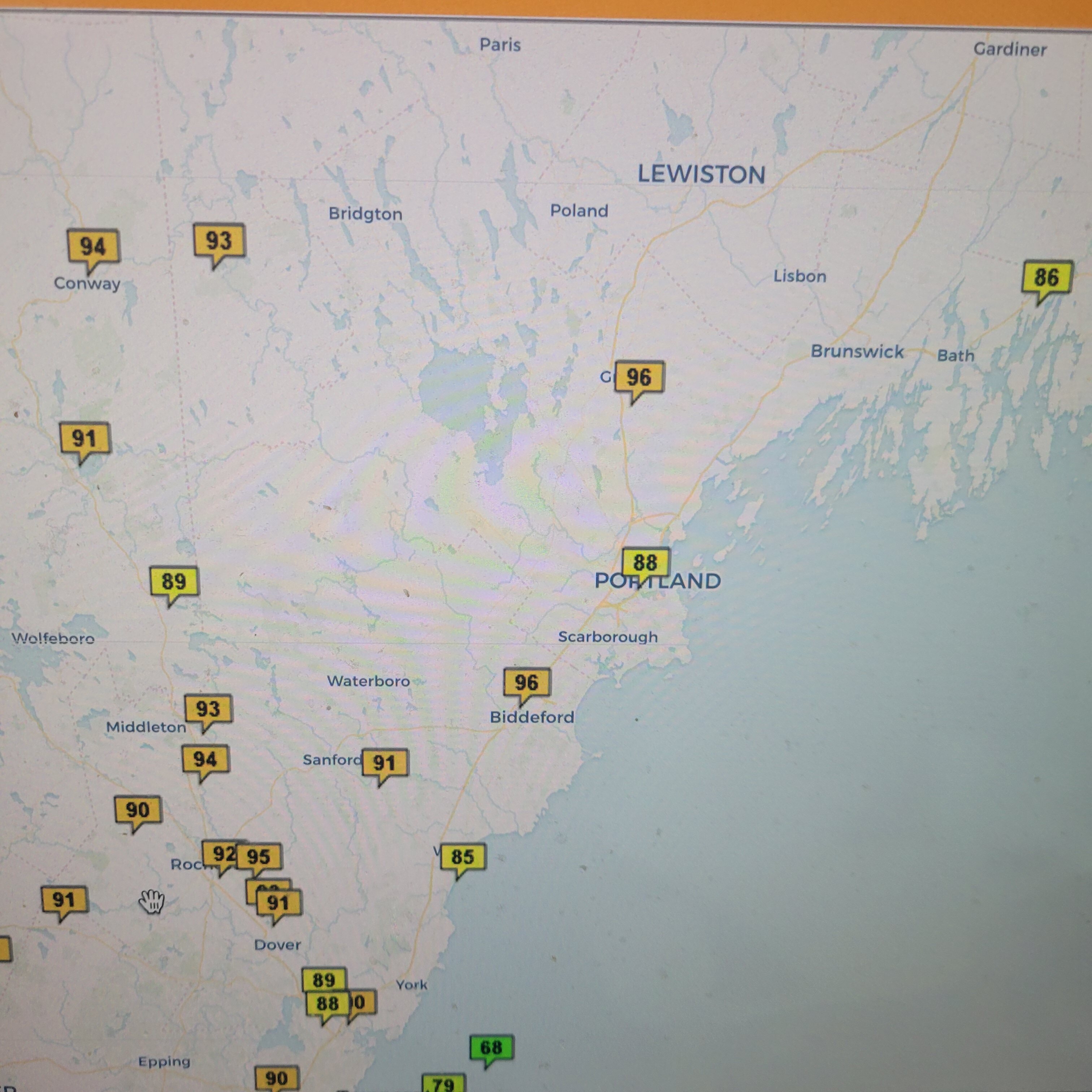
Correcting myself after viewing the 12Z GFS. Daily high temps NYC Mon-84 Tues-89 Wed-91 Thurs-93 Fri-94 Sat-88 Sun-89 So you have a 3-day garden variety heatwave in NYC. Readings are for Central Park. WX/PT