Wxoutlooksblog
-
Posts
1,202 -
Joined
-
Last visited
Content Type
Profiles
Blogs
Forums
American Weather
Media Demo
Store
Gallery
Everything posted by Wxoutlooksblog
-
Storm potential January 17th-18th
Wxoutlooksblog replied to WeatherGeek2025's topic in New York City Metro
I said it could. Now I believe it won't. WX -
Storm potential January 17th-18th
Wxoutlooksblog replied to WeatherGeek2025's topic in New York City Metro
Dynamics are out over the ocean. Guidance never showed any. We need big flakes gonna be tough to get them. WX/PT -
Storm potential January 17th-18th
Wxoutlooksblog replied to WeatherGeek2025's topic in New York City Metro
Those areas have been over-performing for 2 years or more. I think this time will be no exception. When I say there's a good chance this could over perform I'm not referring to all locations. There are different forces at play here. You have the signs that the coastal will indirectly enhance the snowfall rates here and colder air will also squeeze out a little more moisture. But there is also a drier punch of air which will move in from the west and the clipper moving across the northern tier will be trying to kick this system out to the east. So we just have to see what forces win out. The heaviest precipitation on the guidance was always late this afternoon and early this evening. To that extent nothing has changed. But this is NOT a big storm for us. Maybe we can squeeze out another inch or two some places another three like the north shore of eastern LI. WX/PT -
Storm potential January 17th-18th
Wxoutlooksblog replied to WeatherGeek2025's topic in New York City Metro
Radar, temperatures, and the HRRR model which has been a little faster moving elements than is actually happening but otherwise accurate. WX/PT -
Storm potential January 17th-18th
Wxoutlooksblog replied to WeatherGeek2025's topic in New York City Metro
I think there's a good chance. WX/PT -
Storm potential January 17th-18th
Wxoutlooksblog replied to WeatherGeek2025's topic in New York City Metro
I believe we will go WAY over that for this season. WX/PT -
We've only had one month. And in that month, this year beats 93/94. WX/PT
-
I like the western ridge position and the fact that the se ridge is slightly suppressed. We'll see. WX/PT

-
I was thinking that for later in January, even if the subtropical jet became a little more active, the tendency would be for the dominant northern stream to result in either phase up too soon with a storm hooking too far to the left or the streams remaining separate too long and a storm being overly suppressed initially. WX/PT
-
I was more referring to the subtropical jet with reference to our snow events this season. I should have been clearer. WX/PT
-
I think we can have a few snow threats possibly near misses or maybe we luck out. However, I think our best chances for a KU storm would likely come in February. Just a hunch here. The pattern is still a dry one and any subtropical jet activity has been almost if not completely a non-factor. This could continue another few weeks. I do think that in the longterm (Spring/Summer) we are on the road to extremely dry conditions. WX/PT
-
Count me as not skeptical at all. Winter has had a great start. We will get our snow when cold fronts stall just to our south and east and waves of low pressure move up along them. We are already ahead of the pace of most recent winter seasons on snowfall and look to continue the pace by mid January. As I previously noted, there's a strong cold front which was timed for January 12th and is now timed for Jan 10th or 11th. Patience. WX/PT
-
I think the models are gradually trending colder. Most of the guidance has been indicating a strong cold front around the 11th of the month. Yesterday the front was on the 12th so it's moved a day earlier on today's maps. I do have the feeling it's going to be below normal more often than above and that the duration of warmer temperatures is getting shorter. WX/PT
-
Big snowstorms for this region do not typically move down from the northwest. This storm was/is a freak. Almost all of us bought into the models' April fools' joke in December. Our big storms generally move in from the west (miller B's) or up from the south (coastals) miller A's. With had bust written all over it but none of us bought into it. There was really never sufficient vertical velocity to produce the snow amounts we were all going for. NAM for example is a very sensitive model and should have had some at least +20-+30 vv's for us to get a sustained period of heavy snow. WX/PT
-
These northern stream storms or Colarado lows bring light to moderate snowfalls for our area. If the subtropical jet starts getting more active and we start getting some more arctic chill in here it could get far more interesting. I think there's better than a 50% chance that will happen eventually. WX/PT
-
I think it's fair to say that in the last 24 hours this potential storm has become more interesting and that if trends continued it could open up the possibility of a mostly frozen or even a mostly snow event Friday. But there's a lot of *ifs* there. WX/PT
-
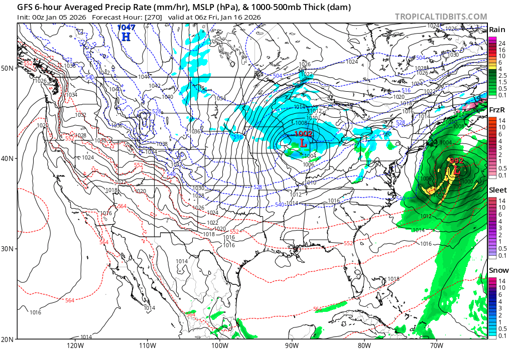
Operational GFS is mostly snow for that event and a good amount of it. It shows a more suppressed storm track primary low dies over the Appalachians and re-develops well offshore east of Delmarva Peninsula. We'll see this change more than a few times over the next 3 days. I think it's worth watching. 18Z Euro AI had storm track right over us with nothing but rain. WX/PT
-
I will miss your posts. I've followed you for 30-40 years and remember your discussions from the 1980s/90s. Best of health to you! WX/PT
-
I'm expecting the heaviest (moderate/borderline heavy) snowfall rates from this storm between 4-8am. That's about a half to one inch/hour for 4 hours. And it adds up in most places to 2-5". At this point I think there'll be alot of 2 and 3" amounts a few 4s and a few 5s. The duration of light/wet snow losing an inch or two of what could have been. The dynamics are poor but I think there'll improve slightly as we get on into the morning. WX/PT
-
Best pattern I've seen at this time of year in a very very very long time. There's going to be something every 2-3 days. Almost never a dull moment. WX/PT
-
Most of the more reliable guidance didn't bring the significant snow into the area prior to midnight. WX/PT
-
I am referring to this as a snow hole. It's not a good way to start a storm but it should gradually fill in between 10-midnight. WX/PT
-
Our best chance to see some snow this month may be from a quick hitting Alberta Clipper or associated cold front. But of course we're talking light snow and nothing major. The trough is just too far east and the flow too flat. There isn't enough room or time for anything to really dig and slow down, gather moisture, and trigger a major winter storm as the maps look now. But it's early still and the models are not that good. Subtle adjustments and you just know they're going to happen could change things. We watch and wait. Most of my prior threat dates are now not so near misses. WX/PT
-
We should have a close call Friday night into Saturday with low pressure passing from west to east to our south. An outside chance snow gets in here for a time but at this point, at least, it does not look like a big deal for the NYC/LI areas. Then we watch a potential event for Dec 10-11th. And even more potential around Dec 13th. It's active. Something to watch every 2-3 days. We'll see if the big warm-up advertised on some of the models during the Dec 14-17th time-frame is real or just models gone awry. WX/PT
-
An outside chance as the low pressure pulls away to the east that NYC and LI briefly flip to light snow before the precip ends tonight. Maybe a dusting if that. WX/PT