

SouthCoastMA
-
Posts
8,522 -
Joined
-
Last visited
Content Type
Profiles
Blogs
Forums
American Weather
Media Demo
Store
Gallery
Everything posted by SouthCoastMA
-
Doesn't look great
-
I'll call it now. Easily a top 3 worst day of year contender
-
52°/47 Bend me over season down here
-
A few breaks poking through. Thinking we can touch the mid 50's today that continues. Yesterday was too f'n windy and didn't even touch 50.
-
In Canton this morning, where it was 60+. Now back home, windy and upper 40's. Not great
-
Very true. Refuse to Lose was an awesome time. I knew the entire starting lineup as a 13 year old, and I can't remember anything like it since in this area.
-
Easter egg hunt with some drizzle and temps in upper 30s . sounds beautiful
-
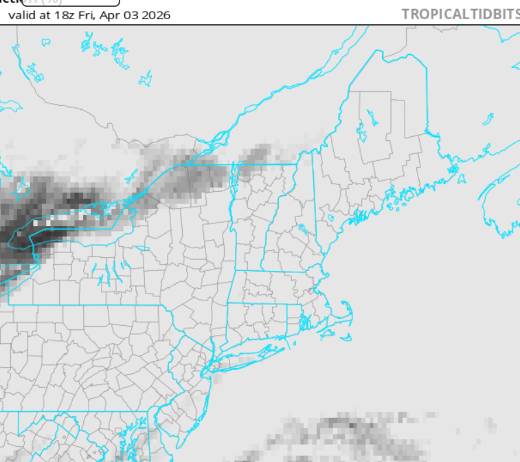
Looks like shite after Wed
-
Yeah now a steady light snow. The type that would bring out the Templeton buck tooth snow emojis
-
Flurries around this morning.
-
I have a 9yo golden, turning 10 in April. Starting to groan a lot and getting arthritic. It sucks
-
It's that time of year when my wife or daughter asks me what the temperature will be outside and I'm like "No idea"..becuase I don't have enough interest to check models or forecasts. Yawn.
-
Maybe .1" or .2" if I cared to measure, but nah. The 'flakes' were basically snow pellets..almost like cauliflower rice or those tiny styrofoam packing balls
-
Coated up
-
1.96" - will end up closer to 2.5" at this rate
-
1.65" so far here
-
Those 30's in NE mass say, good luck with that verifying
-
86 years old, it happens
-
Most years, hard to even expect consistent summery weather (70s+) here until Father's day. Kinda expecting a porking this spring anyhow, so those 60s are going to be elusive indefinitely unless we get this pattern outta here
-
@ineedsnowupon hearing powderfreak posted a snowy ICON run for SNE

-
Summit is around 300mb heh
-
Convective inner eyewall snow squalls? Sign me up
-
There will probably be some nuisance colder-profile storm on April 7th or something that drops 1-3" of slop somewhere in elevated SNE. But I'm pretty much done with winter at this point.
-
yea we also had a pole down overnight, at the entrance of the local school. 2 hour delay
-
I've realized that my true passion is snowstorms. I guess I'd also be interested in a tropical system or severe storms if they panned out, but cutters bore me, generally. Need something damaging like Oct 21 to peek my interest, or early March 2018


