HIPPYVALLEY
-
Posts
32,938 -
Joined
-
Last visited
Content Type
Profiles
Blogs
Forums
American Weather
Media Demo
Store
Gallery
Everything posted by HIPPYVALLEY
-
Enjoy the cold and dry second half of March, Lesco blowing off the bare frozen ground.
-
Volatile market right now. Some of the more experienced financial folks here probably have some good advice. One of the low risk ETF’s can earn you more interest than any bank. There are certainly options that fit whatever your social conscience might be.
-
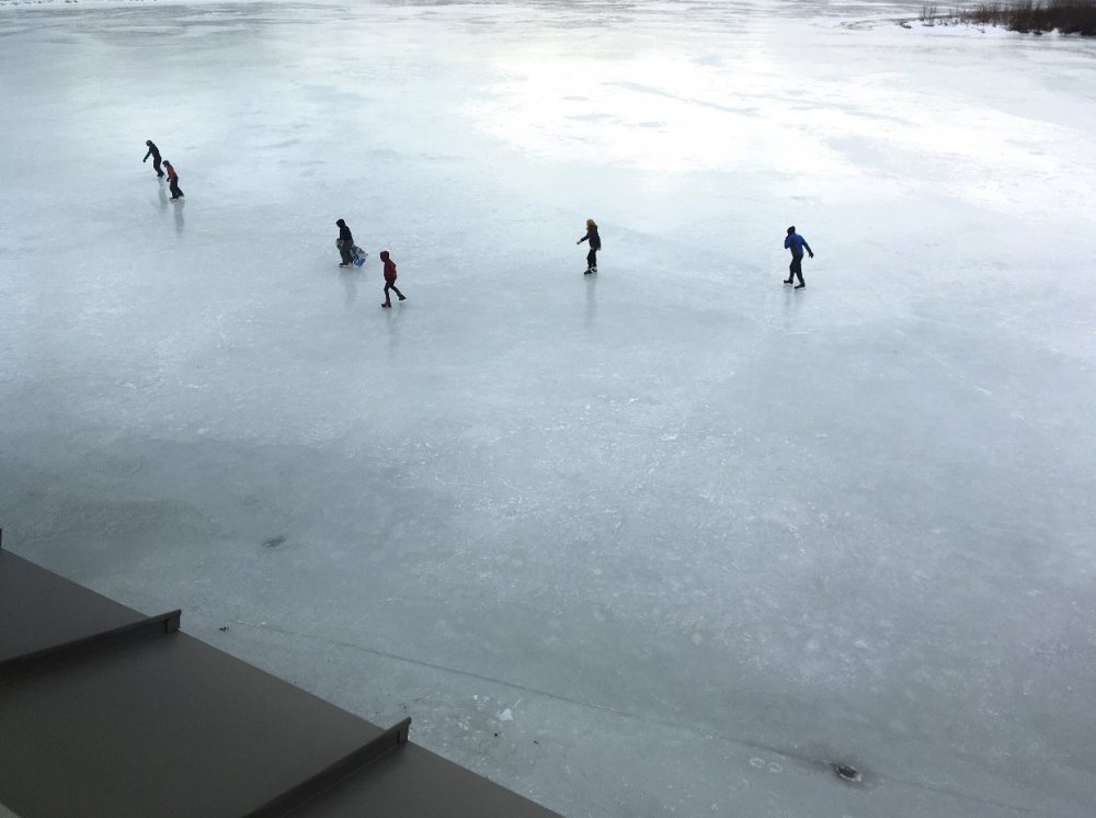
My friend shot that earlier from the Marina restaurant in Brattleboro. I’m sure it’s a cheap cell phone shot. I travel with a Nikon super zoom in the car at all times.
-
Ice skaters on the West River in Brattleboro today. Impressive for March.
-
I forgot about that, that really screwed up flight patterns iirc.
-
All due to volcanic activity I think. I hope Iceland doesn’t go boom, I have not been there yet.I hope Iceland doesn’t go boom, I have not been there yet.
-
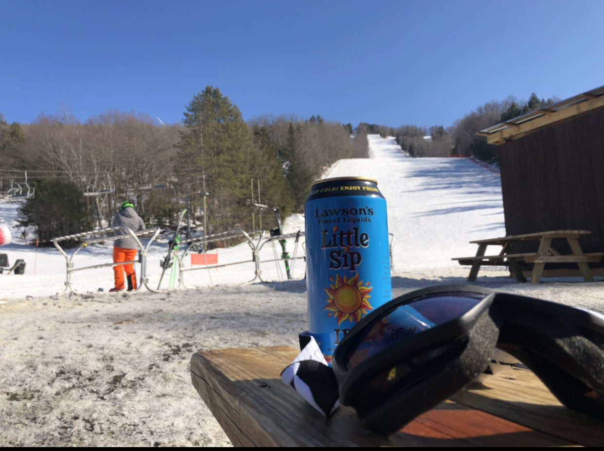
Nobody at Berkshire East today!

-
I'll be there all day tomorrow with wife and child. Weather looks good.
-
Tough night, my space hurricane post has been deleted twice now but I know third time is a charm. Anyway, I thought it was cool. https://www.sciencealert.com/for-the-first-time-a-plasma-hurricane-has-been-detected-in-space
-
“Space hurricanes pouring electron rain” is more interesting than all of this Covid debate. https://www.nature.com/articles/d41586-021-00493-2
-
At their best they may sneak into the top 20.
-
Sooo boring.
-
Chemtrail targeted areas.
-
Legend.
-
-
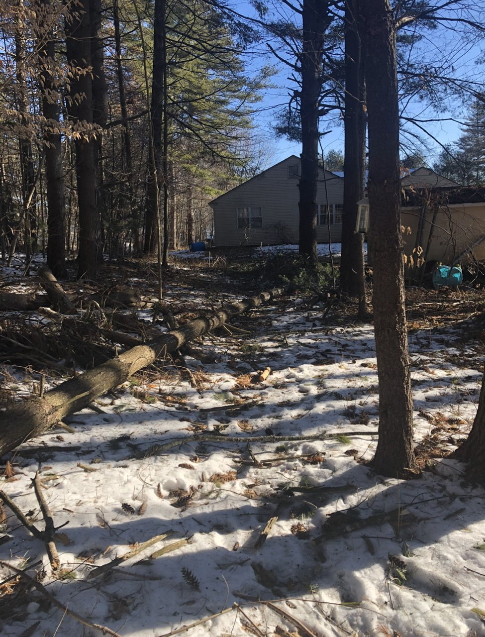
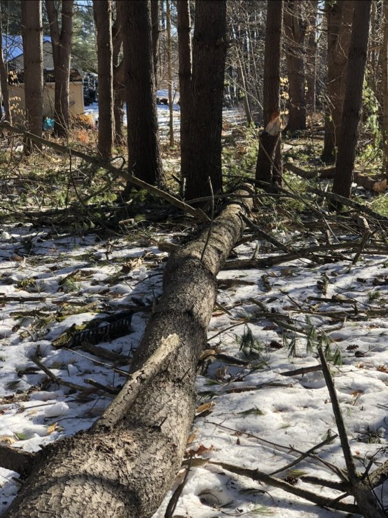
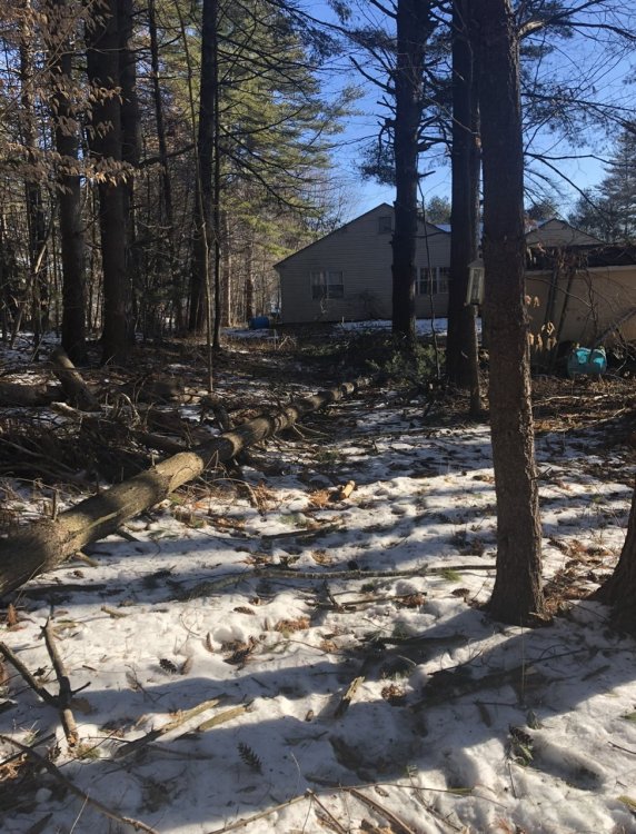
Outside of convection that was the longest and strongest wind event I’ve had at this location in the 12 years I’ve been here.
-
Couple of decent size pines are down in my backyard but no damage to house etc.
-
Oaks, maples and other hard woods cause more damage, more often than white pines.
-
Waning some now but that was some crazy ass wind from about 9 to 11. Heard some good cracks in the neighborhood, we’ll see what daylight brings. Lights have flickered but are still on, Comcast is down though.
-
I am in a one story, well-built house and I can feel the wind. I had to go out with a flashlight about 10 minutes ago because I thought one of the recent guests might’ve torn siding off the back of the house.
-
Roaring jet engine winds up high. My white pines are swaying like wheat in a field. Very impressive gusts the past hour. The anxiety over a tree falling on the house is not the most fun but pretty intense wind event here.
-
Wind is roaring up high. Some pretty good gusts at ground level too. Power went out for about 5 minutes.
-
Average here is 58-60” and I’m at 47” so definitely below normal with time running out. I’m even with ‘Berg in SW CT so definitely flirting with C- territory relative to “normal”.
-
Yes. Currently a C/C- here but a warning event in March could change that. However, a snowless March and it’s a D.
-
Enjoy your 10 weeks of April.