

Typhoon Tip
-
Posts
44,539 -
Joined
-
Last visited
Content Type
Profiles
Blogs
Forums
American Weather
Media Demo
Store
Gallery
Everything posted by Typhoon Tip
-
This is kinda bush -league buuut, my experience with this kind of annotation outta SPC is we get some dark bases and a couple nickle blat rain drops, then ... that line moves E-S and we end up looking at a back lit CB wall over far SE zones with DPs crashing over western sections. It seems like we're more apt to realize when the SLGT region is slightly west of us, and then we cash -in on the progressive correction
-
71/44 Newfoundland summer day ...
-
May be a Bahama blue pattern setting up between D7 and 10 ?
-
October thickness right next door
-
At least for the present hour, flawless. 78/58 with about the purest, most serene blue this planet has to offer, with very gentle zephyrs caressing Kevin's napes. ( He loves that - ) Looking at indexes/ ens means, I'd suggest the next sig severe synoptics would be D3/4 ( probably bias the earlier). Then later on toward the 2nd week of July there is another heat signal that the operational runs are hesitant if at all showing much reflection. But the base-line hemisphere is very coherently in -PNA and I don't see any demonstrative version of any ens means that early-suggest any summer variant of blocking. That's like playing with matches and the operational versions may just be doing what they did prior to the last heat wave when its signal was also in the extended. We'll see
-
Borderline hot and then anvil shut-down. next -
-
oh my god . it's amazing how fast that's taking over social media
-
We're getting a summer ...that's all this is. At least so far. Last 2 or 3 summers, back to back, were pieces of shit in my opinion. 2020 was smoke miasma prequel to climate change dystopia. 2021 was okay at times... but a true yuck sticker goes on the next too. So far we've had not unreasonably rain. We've had AN T - so more than summer there. And other than last weekend, we had like 4 in row with utopic temp and sun combos. Even masturbatory nape massaging breezes - Last summer was the worst. Day after day of black mold DP petri dish gloom. Lot of those days the street lights were popping on by 5:30 because of anvil debris and warm nimbus. No severe. Just CC enraged PWAT rainers.
-
Weird summer 89/50 tomorrow?
-
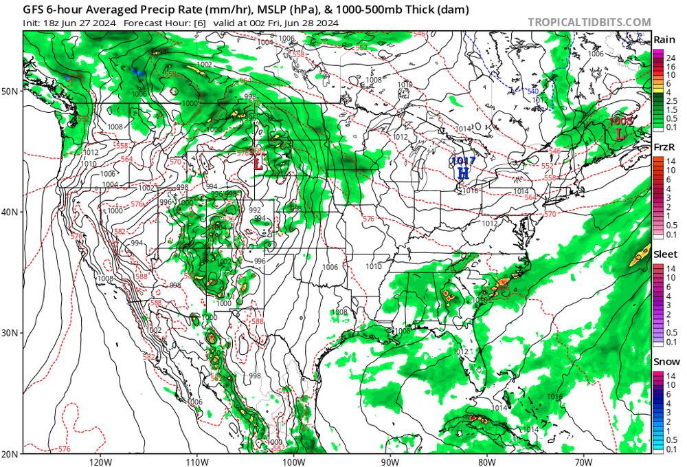
Not sure if anyone's paying attention ... or really even cares for that matter, but D7 and beyond has a chance of being exceptionally warm again across eastern mid continental mid latitudes. What's limiting the extent of that ( at this time ) in the guidance is that we seem to be taking a short term excursion through a -EPO. Normally at this time of year ...we'd begin to suspect that to be less correlative ( seasonally ), but the operational guidance versions are in fact showing some transient blocking up there in B.C. or thereabouts ... and sending cooler bursts of hemispheric air through the Canadian shield. This is all kind of new over the last week's worth of model parade, but it does present certain challenges to how hot it may get when the underlying -PNA attempts to roll the next -PNAP synoptics east - namely, ...there's a bit of a heavy N/stream jet suppressing things. Bit unusual to see sub 545 dm L/W axis over eastern Canada, with hgts approaching 600 from TV to the M/A at this time of year. It's creating a lot of mid level wind - It could be overdone .. over played. We deal with this almost foundational over amplitude bias in all guidance, where whatever they're handling in that range just looks huge compared to what happens. If the N stream is too aggressive. We bake ( probably ...). If the N stream backs off and the ridge is also less to suppress, maybe it doesn't matter... it's a juggle. That's basically what the first 10 days of July look like - it could be either neutral-AN, or way AN. Not likely BN
-
huh NAM came in quite warm. backside of this s/w has been sneaky attenuating cold as it’s gotten closer just like winter.
-
Is this the 10th nasty storm entering X location of the day? lol. Just kidding some lighthearted trolling
-
Just my opinion, which probably doesn’t count for a whole hell of a lot in this… but this rather pedestrian convection result, aside from being entirely consistent with our climatology for getting butt banged being far more incredible than any realization when it comes to convection ( except for very rare circumstances 1953, 2011 whatever…), is that the situation was limited by two factors: 1, too much CIN that would not relent … 2, it looked to me this morning that although bulk shear may have been numerically impressive there wasn’t enough directional component involved with it just by observing high resolutions, satellite, visible imagery, and identifying different cloud layers.
-
Interesting how these storms, CT and NH, seem to be advecting along with the western edge of the lid as it's receding E.
-
Left Ayer at 8:45 this morning in a mist at 62 F ... wipers on delay, all the way to down to Worcester on I-91. But the temp crept up along the way to 66 or so when I got to Goldstart Highway... I turned up Rt 9 and climbed the long hill, and by the time I got to Marshal Street/Pyramid Disk Golf at 1100' el, it was 71 - testament to how shallow the cool murk was. The region was enshrouded in this 'smoke fog' - the difference between fog and actual cloud vapors. And it was dense...vis about 400 ft, the breeze was blowing plumes of it through the air. It was interesting. I'm pretty sure the warm front was right there. Left and went S of the City by 10 more miles and it was 78. Got back home to Ayer 2.5 hour later and it was 81/77 ... now it is 87/77 with more sun than clouds.
-
Any cells that are discrete and polarized will tend to move right and into a progressively CAPEy area.
-
Getting the impression this BD got a second push because we're all the way down to 62 now. Quite a 35 F correction over 2 days ago... not bad.
-
20 minutes west ~ of where I was on Rt 9
-
just kidding there but sort of true ... anyway, someone mentioned warm frontal thunder - looks like that's a good call along Rt 2 at present hour Was down just east of ORH at Indian Meadows between 9 and noon ... humid and cloudy at 68 with hints of mist. I get home to see that 20 minutes west it's 80s. This is a BD invasion into a heat wave pure and simple.
-
I think that's referred to in physical parlance as 'acceleration' LOL
-
Was noticing some intense CB action organizing into an apparent linear complex accelerating out of NY State on satellite...and got to wondering - huh, no shit https://www.spc.noaa.gov/products/md/md1357.html
-
Bring it here ... need to a refresher
-
There's actually two phenomenon going on related to heading in the other direction. The 1st is the standard/WPC analysis showing that the main boundary is situated along the CT-RI borders with Mass, and is moving SSW. The 2nd is this almost N-S orient BD 'acceleration' ...which is importing a somewhat cooler air mass/lowering DPs
-
Trees swayin a little bit. ENE accelaration in the last 5 min. My experience with this kind of momentum is that if you are down in NE CT, this will probably make it that far - in what form we'll see.
-
BD is right on the doorstop here. Clear sky to the E ... bubbling to the W. Looking forward to the ahhh factor. Vis loop shows it rollin under. As Brian pointed out, nice DPs recession for the win


