Buddy1987
-
Posts
3,952 -
Joined
-
Last visited
Content Type
Profiles
Blogs
Forums
American Weather
Media Demo
Store
Gallery
Posts posted by Buddy1987
-
-
Hate it for people to my north and east but that was a shellacking for Central/Southern VA. Becoming cautiously optimistic.
-
 5
5
-
-
GFS another demolition for my direct area into the northern mountains of NC. Starting to get cautiously optimistic. If that comes to fruition, going to lay down some beautiful rates.
-
12Z Icon would make things happen in a big way for Western NC mountains/SW VA and up into Central VA 81 corridor.

-
 1
1
-
-
12z ICON track is the recipe that creates big events for Western NC mountains/SW VA.

-
 2
2
-
-
Oh boyyyyy hopefully this ain't any type of bad juju. I like that you are starting it though!
-
 1
1
-
-
There's also some type of meso high (about 1027-1028 sliding through OH into NYS around the end of the run..) that can never hurt and based on surface reflection, you can see snow developing as the run finishes over the western NC mountains. Wherever this thing ends up traversing it's going to pack a nice punch of heavy precip.
-
2 minutes ago, BornAgain13 said:
Is this good or not?
Sent from my SM-N981U using Tapatalk
Here is NAM at 84. That would be a good thing for our areas in my opinion. Big ole bowling ball as you can see with moisture rapidly pooling in the Carolinas.

-
 3
3
-
-
Looks like 12z Nam is not going to be as progressive this run. Closed contour over eastern OK/ western AR at hr 57.
-
 1
1
-
-
12z NAM closed low at 57 over eastern OK/ western AR. Looks less progressive than 6z for sure.
-
7 minutes ago, BornAgain13 said:
06z GFS & GEFS have a significant Winter Storm for SC, VA & NC
Sent from my SM-N981U using Tapatalk
I found it very interesting that Blacksburg didn’t even mention it whatsoever in their AFD. The word light snow was loosely mentioned Saturday night. Rather surprising there.
-
14 minutes ago, msuwx said:
Folks complaining about the overnight runs must not have been paying attention this winter. At least it's something.
Yea really don’t have a single complaint considering I myself haven’t seen accumulating snowfall for freakin ever. Worst case scenario favored climo spots score. Best case the ULL bowling ball allows a whole bunch to cash in.
-
6z GFS an absolute nuking of the 81 corridor. @WinterWxLuvr@clskinsfan
-
 3
3
-
-
4 minutes ago, yoda said:
00z ICON wouldn't do it except in the mountains... even with a decent h5 pass. Just a tad too warm
Yoda at least for the 81 crew I’d take my chances with that setup.. baby steps towards a slower less progressive system and dynamics ftw. Here’s to a good 0z run

-
 3
3
-
-
4 minutes ago, Chris78 said:
Winchester crew should love the 18z eps
Roanoke and southwestern crew LOVE the EPS. I’d say tomorrow night we’re still seeing the same thing I will really start to get my hopes up. It’s been a long A$$ time since accumulating snow has taken place.
-
 4
4
-
-
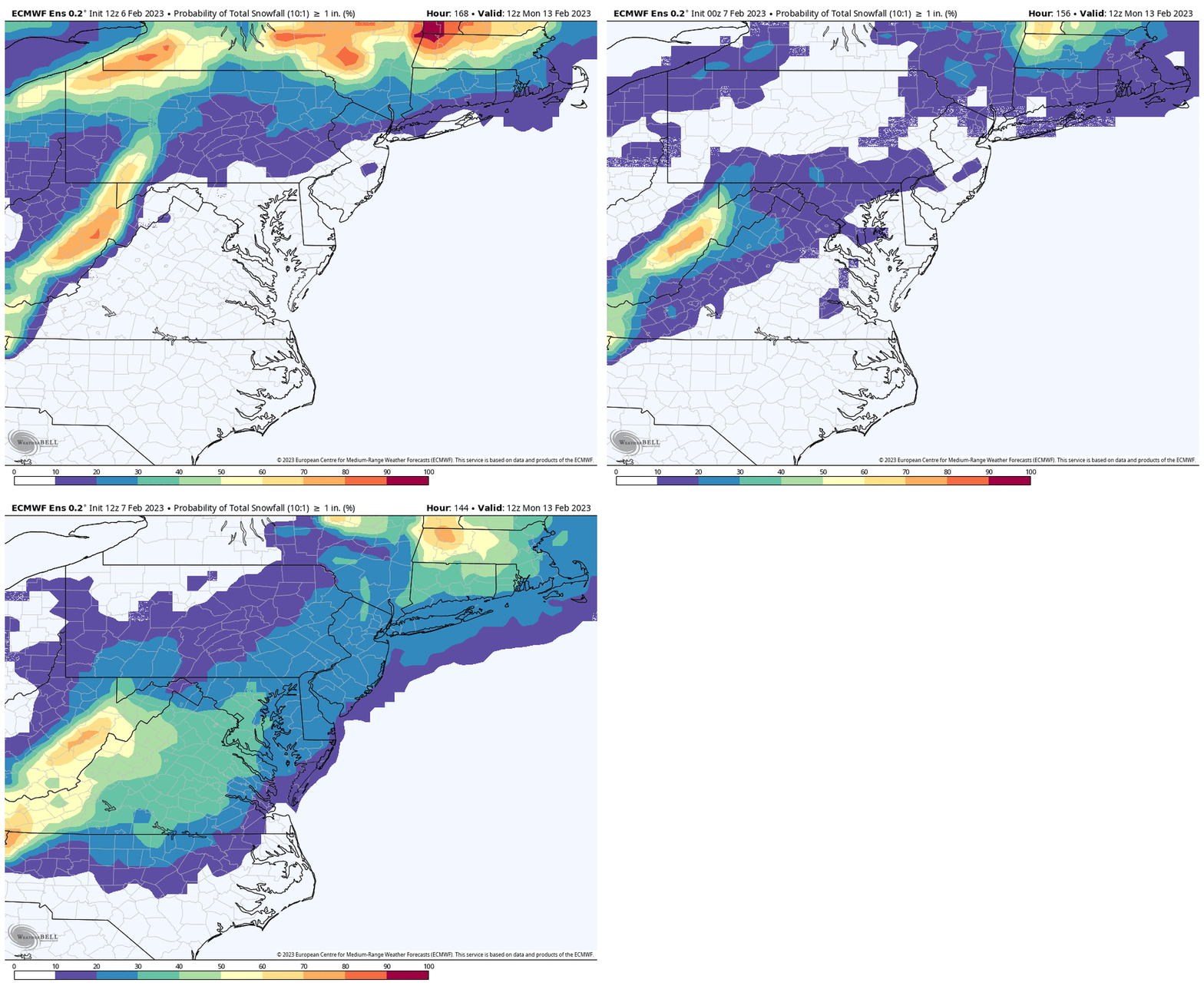
WOW! No words for the 18z. With the 12Z EPS showing some big hits hoping we can start reeling this one in.
-
 2
2
-
-
9 minutes ago, NorthArlington101 said:
Man what a refreshing animation to see, ESP coming from the Euro. Can’t remember the last time 50/60/70 probs were down this way. Still will believe it when I see it Friday night and it’s still showing it..
-
 2
2
-
-
Haven’t had a dusting down this way the entire winter season. Would be really nice to at least get something measurable. Hoping for once this winter the GFS can score a coup.
-
 1
1
-
-
At this juncture I will literally take any type of crippling winter storm. I don’t give a shit if it’s 4” of sleet or 2” of ice. This year has been unreal.
-
 2
2
-
 1
1
-
-
For this winters standards, that’s a nuking of central NC by the 18z GFS. Unfortunately the way this year has gone, I would say we have a better shot of trying to gamble on a fart with the stomach bug than actually gambling on this evolution coming to fruition. I hope I’m wrong but it’s either going to suppress significantly or cut like hell.. no in-between it seems like. Suppression may make some happy in here in all honesty so we’ll see what happens.
-
 1
1
-
 2
2
-
-
Damn.. lolll happy hour Central NC nuking for this winters standards at 168. Fringed even down this way.
-
 1
1
-
 1
1
-
-
Just now, TSSN+ said:
Maybe they finally pulled the plug
What a day that would be haha! The GFS is the equivalent of a late 80s 4Runner that’s on its last leg. There’s no fixing it so they just keep performing oil changes in hopes it’ll last.
-
 1
1
-
-
GFS taking it’s sweet time tonight… not like it can be trusted in any capacity so there’s that..
-
1 minute ago, psuhoffman said:
Not a bad look??? lol its beautiful, I'm gonna throw a virtual rock at the first person that complains about the high. That is a damn classic setup for a snowstorm its just not cold enough. If there was just a normal airmass in place for mid January this would be a snowstorm without us having to sweat all these details. The details would simply determine if its 3" or 8" or maybe even more.
IF and it’s a big if this year, the models continue to advertise a 1042 HP parked in that area as we draw closer, can we think that it may be under-doing the strength of cad etc..? Or do the mid levels cook because of the primary if taken at face value?
-
Nuked by GFS 81 west. No way I’m getting pulled into this until Monday at least.


February 11-12 ULL Winter Storm
in Southeastern States
Posted
Slower bad thing at this point or not necessarily with dynamics in play?
I know it was the Nam but it too was slower than 6z. Seems to be a trend. Been in a couple meetings so haven’t been able to really digest anything else.