

hawkeye_wx
-
Posts
6,661 -
Joined
-
Last visited
Content Type
Profiles
Blogs
Forums
American Weather
Media Demo
Store
Gallery
Everything posted by hawkeye_wx
-

Major Hurricane Melissa - 892mb - 185mph Jamaica landfall
hawkeye_wx replied to GaWx's topic in Tropical Headquarters
It had looked like he'd hit the center, but the left hook may leave him just getting into the eastern edge of the eye. -
Major Hurricane Melissa - 892mb - 185mph Jamaica landfall
hawkeye_wx replied to GaWx's topic in Tropical Headquarters
The eye is actually still hooking left as it moves into the coast. The dead center could end up just a hair west of Josh. -
Major Hurricane Melissa - 892mb - 185mph Jamaica landfall
hawkeye_wx replied to GaWx's topic in Tropical Headquarters
Josh doesn't do live streams. He should have good video afterward. -
Major Hurricane Melissa - 892mb - 185mph Jamaica landfall
hawkeye_wx replied to GaWx's topic in Tropical Headquarters
Josh Morgerman is going to hit the center perfectly in Crawford. I hope he gets a sub-900 measurement. That would be quite a trophy. -
Major Hurricane Melissa - 892mb - 185mph Jamaica landfall
hawkeye_wx replied to GaWx's topic in Tropical Headquarters
Here is a fantastic loop of the radar showing this morning's eyewall merger. You can see the two bands merge, followed by the new single eyewall blow up with red. This is also the point in which the satellite blew up with intense lightning. https://x.com/WxTca/status/1983146321751024008 -
Major Hurricane Melissa - 892mb - 185mph Jamaica landfall
hawkeye_wx replied to GaWx's topic in Tropical Headquarters
New recon pass found ~894 mb from their dropsonde. -
Major Hurricane Melissa - 892mb - 185mph Jamaica landfall
hawkeye_wx replied to GaWx's topic in Tropical Headquarters
173 kts flight level wind from the new NOAA recon, a new high for the storm, and that isn't even in the right quad. -
Major Hurricane Melissa - 892mb - 185mph Jamaica landfall
hawkeye_wx replied to GaWx's topic in Tropical Headquarters
It appears the worst will be from Crawford, where Josh supposedly is, to Black River, just to the east. -
Major Hurricane Melissa - 892mb - 185mph Jamaica landfall
hawkeye_wx replied to GaWx's topic in Tropical Headquarters
Holy cow..... officially 892 mb. -
Major Hurricane Melissa - 892mb - 185mph Jamaica landfall
hawkeye_wx replied to GaWx's topic in Tropical Headquarters
Recon continues to circle around inside the eye. -
Major Hurricane Melissa - 892mb - 185mph Jamaica landfall
hawkeye_wx replied to GaWx's topic in Tropical Headquarters
Max wind in se quad is 165 kts at flight level. -
Major Hurricane Melissa - 892mb - 185mph Jamaica landfall
hawkeye_wx replied to GaWx's topic in Tropical Headquarters
It is clear something favorable happened to the inner core structure in the last two hours. The CDO suddenly appears even stronger, the eye has grown in size, and there has been an explosion of intense lightning surrounding the eye. -
Major Hurricane Melissa - 892mb - 185mph Jamaica landfall
hawkeye_wx replied to GaWx's topic in Tropical Headquarters
Final recon pass is 902 mb.... not going to get sub-900 for now. -
Major Hurricane Melissa - 892mb - 185mph Jamaica landfall
hawkeye_wx replied to GaWx's topic in Tropical Headquarters
It does appear recon is going in for one more pass. -
Major Hurricane Melissa - 892mb - 185mph Jamaica landfall
hawkeye_wx replied to GaWx's topic in Tropical Headquarters
Ugh.... I was hoping for 899 mb on this final recon pass. The FL wind is also 165 kts now. -
Major Hurricane Melissa - 892mb - 185mph Jamaica landfall
hawkeye_wx replied to GaWx's topic in Tropical Headquarters
Latest Google track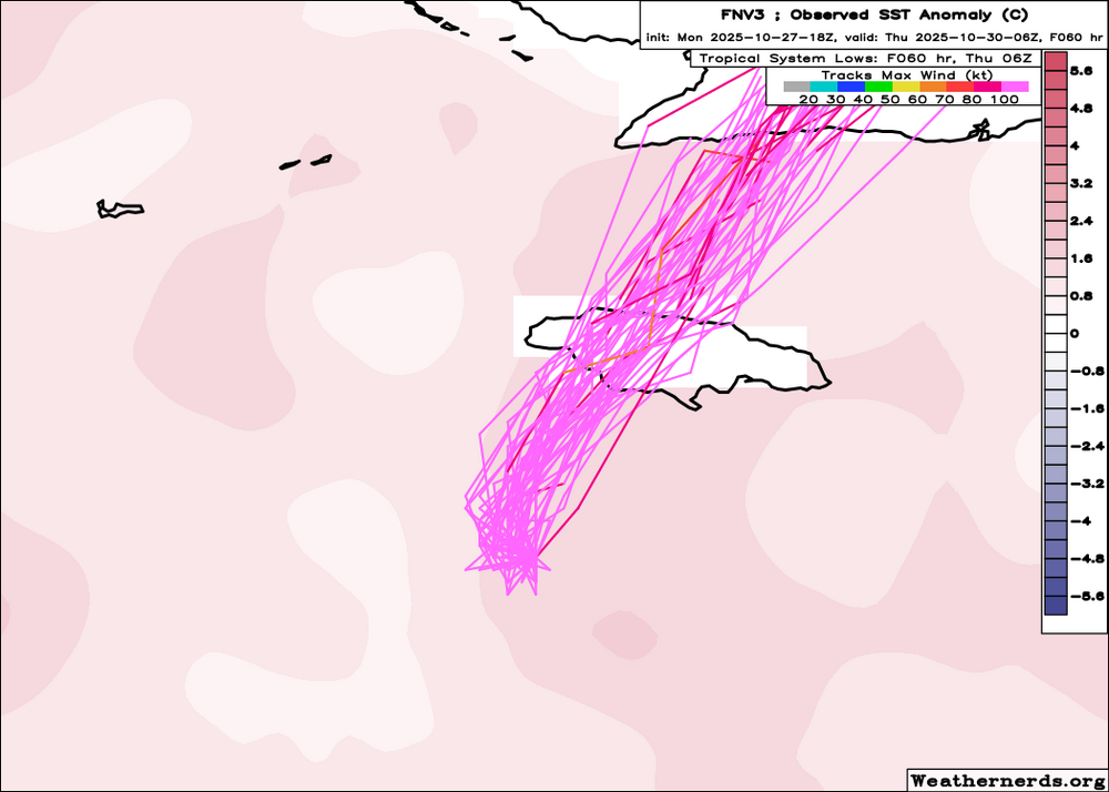
-
Major Hurricane Melissa - 892mb - 185mph Jamaica landfall
hawkeye_wx replied to GaWx's topic in Tropical Headquarters
It hasn't moved in the last 90 minutes. -
Major Hurricane Melissa - 892mb - 185mph Jamaica landfall
hawkeye_wx replied to GaWx's topic in Tropical Headquarters
It's not 907 mb. The latest recon passes found ~914 mb. -
Major Hurricane Melissa - 892mb - 185mph Jamaica landfall
hawkeye_wx replied to GaWx's topic in Tropical Headquarters
Latest dropsonde says 913 mb. Max nw side FL wind is 158 kts. -
Major Hurricane Melissa - 892mb - 185mph Jamaica landfall
hawkeye_wx replied to GaWx's topic in Tropical Headquarters
This afternoon is when models have it taking a fairly sharp right turn. -
Major Hurricane Melissa - 892mb - 185mph Jamaica landfall
hawkeye_wx replied to GaWx's topic in Tropical Headquarters
Dropsonde says 924 mb -
Major Hurricane Melissa - 892mb - 185mph Jamaica landfall
hawkeye_wx replied to GaWx's topic in Tropical Headquarters
The next recon plane just took off from Curacao and will be in the eye in a couple hours. -
Major Hurricane Melissa - 892mb - 185mph Jamaica landfall
hawkeye_wx replied to GaWx's topic in Tropical Headquarters
Latest recon pass found 128 kts flight level in the right quad, so that has been pretty steady. -
Major Hurricane Melissa - 892mb - 185mph Jamaica landfall
hawkeye_wx replied to GaWx's topic in Tropical Headquarters
933 mb from the dropsonde -
Major Hurricane Melissa - 892mb - 185mph Jamaica landfall
hawkeye_wx replied to GaWx's topic in Tropical Headquarters
extrap 932 mb


